Sunday, July 14, 1996
I'm now in Bend, Oregon where I will be a few days getting some work done on the horseless carriage. Exhaust system has developed some leaks and a few other things. Have an appointment for Monday, not sure how long I'll be here before heading north.
Weather has been great. Clouded up and sprinkled a little today.
Monday, July 15, 1996 thru Thursday, July 18, 1996
Took the International in to the "Happy Danes Auto Repair" garage and arranged for the needed repairs. A tube that recycles engine gases as part of the smog system had come loose so that was easy to fix.
The carburetor problem seemed to be caused by the manual choke that had been installed when the Bishop mechanic couldn't find a replacement choke spring. The mechanic here took the old spring and bent it back sort of into proper shape and hooked up the automatic choke. Doesn't work fully, but worked enough to eliminate problems for the rest of the trip. He also found that the frame member where the top of the left rear shock attaches was cracked so had that welded.
While this was going on I just relaxed and read books in my motel room. The extra rest did me good as far as finally clearing up the malady I had been suffering with.
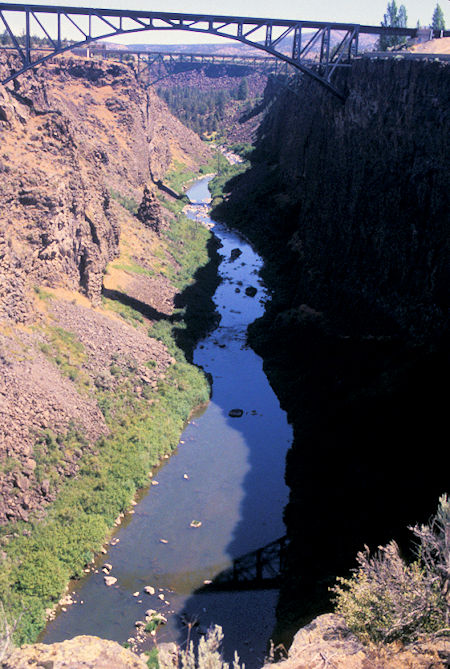
Crooked River at US 97 south of Madras, north of Bend, Oregon
Friday, July 19, 1996
Left Bend Friday morning and promptly took the wrong road. I had decided to go a different way and then forgot.
This took me to a scenic overlook of Crooked River which I would have missed so it was a good mistake. Crooked River is a deep gorge discovered by a guy named Ogden, same person Ogden, Utah is named after.
I then got back on track and proceeded through Sisters (a neat little town that has fixed all it's buildings up and is a real attractive place to stop and walk around).
Continued via a scenic highway to Detroit, OR, then on to the Olallie Scenic Area on the north side of the Mt. Jefferson Wilderness.
Lucked out and got a campsite in the Peninsula Campground on Olallie Lake (things were filling up fast for the weekend).
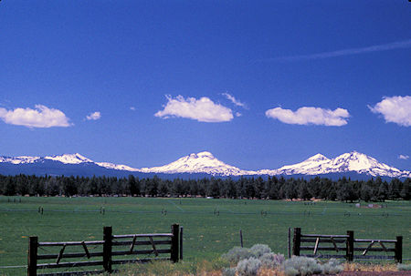
BrokenTop Mountain & Three Sisters from Hwy 126 West of Redmond, Oregon
Saturday, July 20, 1996
When I drove in Friday evening, there was a beautiful photo opportunity of Mt. Jefferson over Olallie Lake - but I didn't stop to take a picture.
Saturday it was kind of cloudy and blustery and Mt. Jefferson was hidden in the clouds. I took a six mile hike around Olallie and Munon Lakes. Sunday I got the picture.
Sunday, July 21, 1996
The day was bright and sunny.
I drove further up the road to Horseshoe Lake and found a place to camp, then did a twelve mile round trip hike into the Mt. Jefferson Wilderness on the Pacific Crest Trail to a ridge that overlooks Jefferson Park, a very popular destination and starting point for climbing the mountain.
Quite a bit of snow on the upper mile and a half of trail. Fortunately others who knew the way had left tracks in the snow for me to follow since the last mile of trail was completely buried.
'Twas a highlight of the trip with great scenery (including Mt. Hood to the north) and great weather.
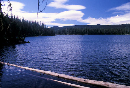
Olallie Lake from trail around lake, north edge Mt. Jefferson Wilderness, Oregon
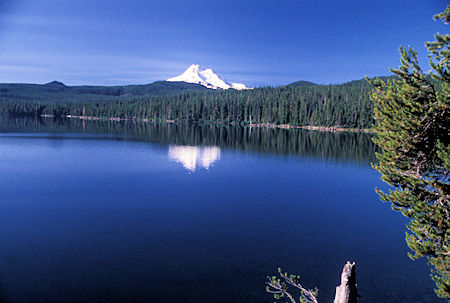
Mt. Jefferson over Olallie Lake, north edge Mt. Jefferson Wilderness, Oregon
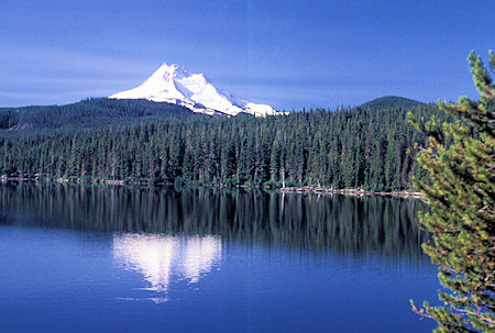
Mt. Jefferson over Olallie Lake, north edge Mt. Jefferson Wilderness, Oregon
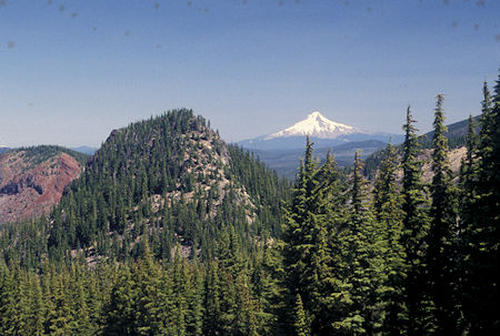
Mt. Hood from Jefferson Park trail (PCT), Mt. Jefferson Wilderness, Oregon
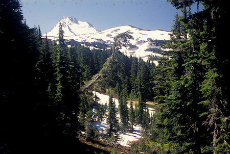
Mt. Jefferson from Jefferson Park trail (PCT), Mt. Jefferson Wilderness, Oregon
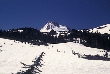
Mt. Jefferson from Jefferson Park trail (PCT), Mt. Jefferson Wilderness, Oregon
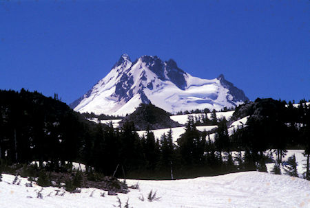
Mt. Jefferson from Jefferson Park trail (PCT), Mt. Jefferson Wilderness, Oregon
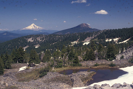
Mt. Hood from Jefferson Park trail (PCT), Mt. Jefferson Wilderness, Oregon
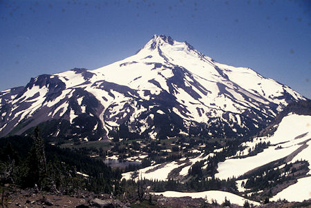
Mt. Jefferson from Jefferson Park ridge north side of Mt. Jefferson Wilderness, Oregon
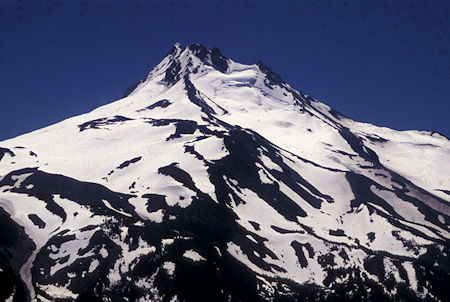
Mt. Jefferson from Jefferson Park ridge north side of Mt. Jefferson Wilderness, Oregon
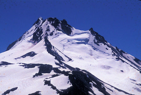
Mt. Jefferson from Jefferson Park ridge north side of Mt. Jefferson Wilderness, Oregon
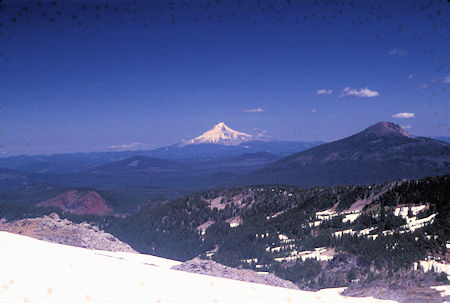
Mt. Hood from Jefferson Park ridge north side of Mt. Jefferson Wilderness, Oregon
Monday, July 22, 1996
I drove down the Clackamas River, an official scenic river, and it was nice, even from the highway. Saw some of the wild damage done by the spring rains to the roads. Giant log jams in the river.
Proceeded on a back road to Timothy Lake where I got to take some pictures of some big ducks with Mt. Hood in the background.
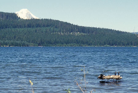
Mt. Hood and waterfowl at Timothy Lake, Oregon
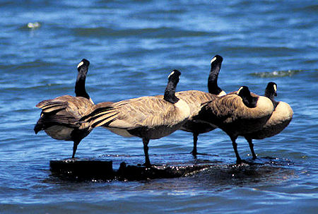
Waterfowl on Timothy Lake, Oregon
Also visited a historic Ranger Station before camping at Clackamas Lake campground.
Tuesday, July 23, 1996
I headed for the Mt. Hood area. Ended up driving down to Sandy, OR to get gas at a reasonable price and to find a large supermarket for resupply.
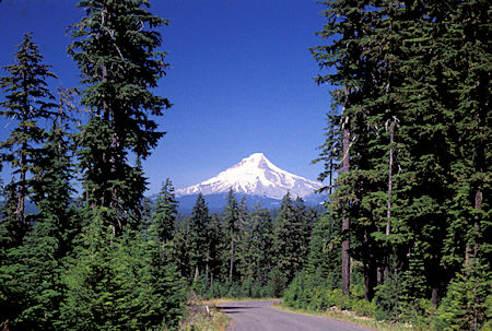
Mt. Hood from USFS Road 42 south of Mt. Hood, Oregon
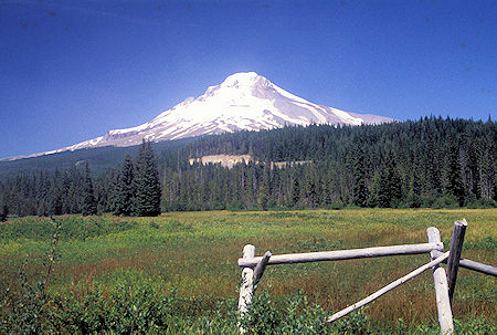
Mt. Hood from highway south of Mt. Hood, Oregon
Camped at Still Creek campground.
Wednesday, July 24, 1996
I drove to Lolo Pass, then to the trailhead for a short hike to Bald Mountain with grand views of the west side of Mt. Hood. Nice two mile round trip hike. Flowers really blooming in the open side hill meadows.
Drove back around to the east side and decided to check out a back road. Turned out to be a real bitch of a road so I turned around and went and found a campsite at Robinhood campground (which as of 2013 is no-longer available).
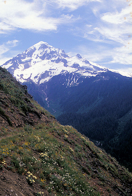
Mt. Hood from Pacific Crest Trail near Bald Mountain near Lolo Pass,
Mt. Hood Wilderness, Oregon
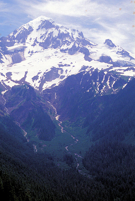
Mt. Hood from Pacific Crest Trail near Bald Mountain near Lolo Pass,
Mt. Hood Wilderness, Oregon
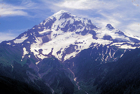
Mt. Hood from Pacific Crest Trail near Bald Mountain near Lolo Pass,
Mt. Hood Wilderness, Oregon
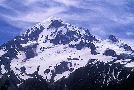
Mt. Hood from Pacific Crest Trail near Bald Mountain near Lolo Pass,
Mt. Hood Wilderness, Oregon
Thursday, July 25, 1996
I took a hike right out of the campground. Nine miles round trip and almost 3000 feet of altitude gain (in 4.5 miles). The objective was Lookout Mountain with grand views of all sorts of things.
Mt. Hood was right in your eye ball, Mt. Adams, Rainier and St. Helens to the north, Jefferson and the three Sisters to the south. Lots of flowers along the trail in the top half.
Unfortunately the heat spell they have been having in the area created quite a bit of haze/smog so the view was diminished some.
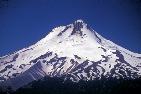
Mt. Hood from Lookout Mountain near Mt. Hood, Oregon
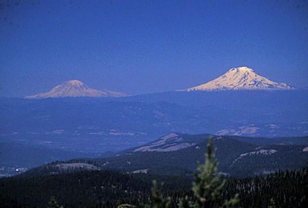
Mt. Rainier and Mt. Adams from Lookout Mountain near Mt. Hood, Oregon
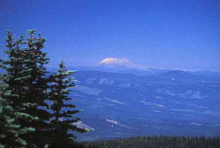
Mt. St. Helens from Lookout Mountain near Mt. Hood, Oregon
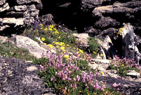
Flowers along trail on Lookout Mountain near Mt. Hood, Oregon
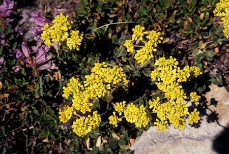
Flowers along trail on Lookout Mountain near Mt. Hood, Oregon
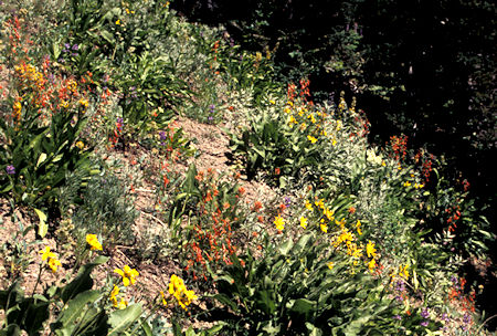
Flowers along trail on Lookout Mountain near Mt. Hood, Oregon
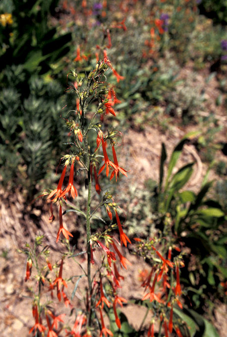
Flowers along trail on Lookout Mountain near Mt. Hood, Oregon
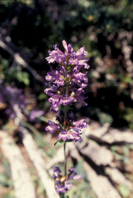
Flowers along trail on Lookout Mountain near Mt. Hood, Oregon
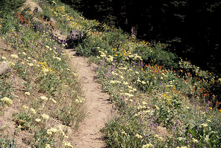
Flowers along trail on Lookout Mountain near Mt. Hood, Oregon
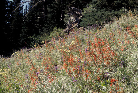
Flowers along trail on Lookout Mountain near Mt. Hood, Oregon
Friday, July 26, 1996
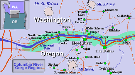
I drove to The Dalles, Oregon and got a motel room, then drove down the old historic Columbia River Gorge road (Route 30) stopping at various lookout points and a number of beautiful waterfalls in the Columbia River National Recreation area.
One waterfall had been recommended to me by a person I met in the Robinhood campground. It was a really deep gorge and I walked (waded) up the creek to the lower falls.
Lots of locals in all the streams trying to beat the heat wave.
The views from various view points were really messed up due to the heavy smog - looked like Los Angeles.
Drove almost into Portland, then across the Columbia River on I-5, then up the north side of the river on Route 14. Lots of people out on the river wind surfing.
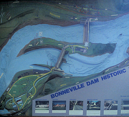
Model of Bonneville Dam, Columbia River, Oregon-Washington
Bonneville Lock and Dam consists of several run-of-the-river dam structures that together complete a span of the Columbia River between the U.S. states of Oregon and Washington at River Mile 146.1.
The dam is located 40 miles east of Portland, Oregon, in the Columbia River Gorge.
The primary functions of Bonneville Lock and Dam are electrical power generation and river navigation.
The dam was built and is managed by the United States Army Corps of Engineers.
At the time of its construction in the 1930s it was the largest water impoundment project of its type in the nation, able to withstand flooding on an unprecedented scale.
Electrical power generated at Bonneville is distributed by the Bonneville Power Administration.
Bonneville Lock and Dam is named for Army Capt. Benjamin Bonneville, an early explorer credited with charting much of the Oregon Trail.
The Bonneville Dam Historic District was designated a National Historic Landmark District in 1987.
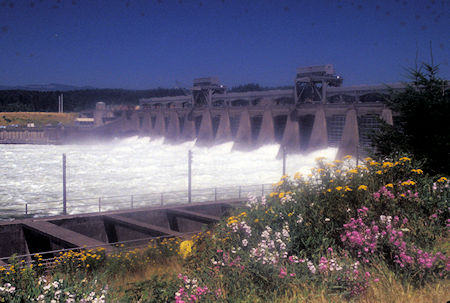
Bonneville Dam, Columbia River, Oregon-Washington
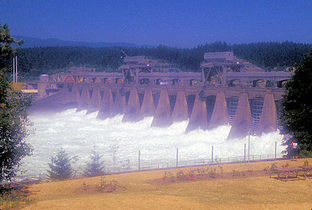
Bonneville Dam, Columbia River, Oregon-Washington
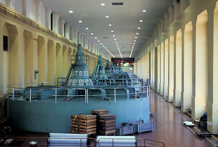
Power House interior, Bonneville Dam, Columbia River, Oregon-Washington
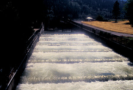
Fish Ladder, Bonneville Dam, Columbia River, Oregon-Washington
Horsetail Falls (or Horse Tail Falls) is a 176 foot waterfall in Oregon along the Columbia River Gorge.
The waterfall is easily accessed, right next to the Historic Columbia River Highway. The shape of the falls and the rounded rock face over which it flows cause it to resemble a horse's tail.
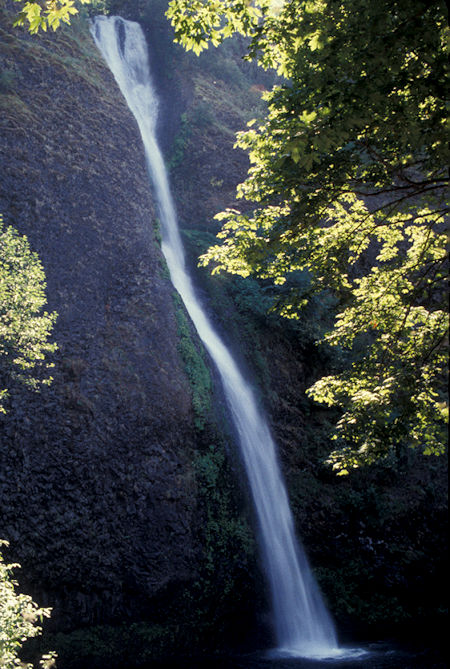
Horsetail Falls, Columbia River Gorge
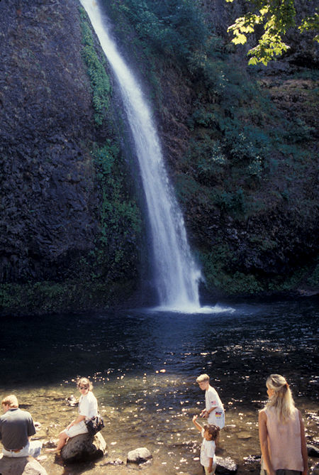
Horsetail Falls, Columbia River, Oregon
Lower Oneonta Falls is an enchantress – a 100-foot ribbon of white water plunging down a steep wall of dark volcanic rock draped in moss and ferns.
Getting to this waterfall demands an off-trail adventure up Oneonta Gorge that involves wading through crystal clear stretches of Oneonta Creek as it passes between the towering walls of this narrow gorge. The short but exciting excursion to Lower Oneonta Falls is just 0.8 miles round trip.
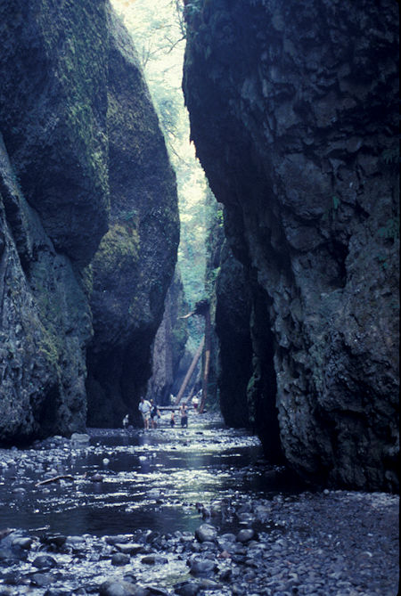
Creek/Gorge below Omeonta Falls, Columbia River, Oregon
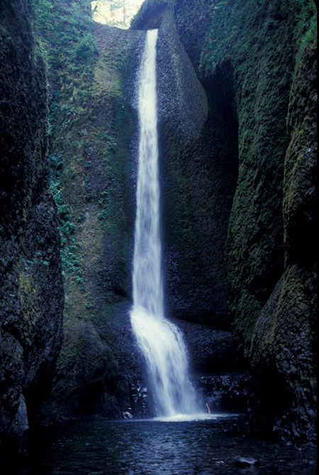
Omeonta Falls, Columbia River Gorge
Dropping 620 spectacular feet, Multnomah Falls is the tallest of the Columbia River Gorge’s many waterfalls (77 on the Oregon side, to be exact).
Multnomah Falls is a special place for so many reasons. Geology is one of them. Yes, Multnomah Falls is fed by rainfall but also by snow melt and underground springs from Larch Mountain. If you look closely, you can see five flows of Yakima basalt in the falls’ mossy cliff face.
The iconic, postcard-famous Benson Bridge spanning the lower falls (built by Italian stone masons in 1914) was named for Simon Benson, a prominent businessman who owned the falls at the time.
The falls drops in two major steps, split into an upper falls of 542 feet and a lower falls of 69 feet, with a gradual 9 foot drop in elevation between the two, so the total height of the waterfall is conventionally given as 620 feet. The two drops are due to a zone of more easily eroded basalt at the base of the upper falls.
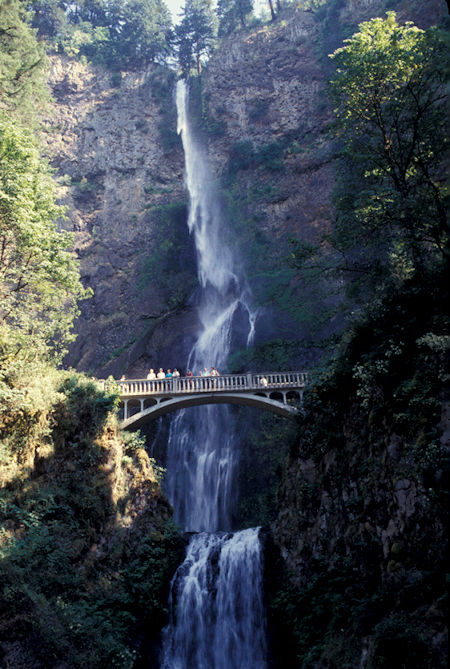
Multnomah Falls, Columbia River, Oregon
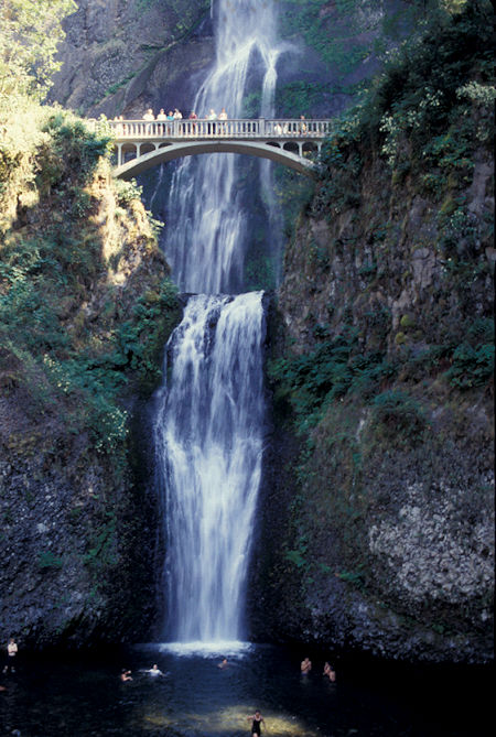
Multnomah Falls, Columbia River Gorge, Oregon
Latourell Falls is a waterfall along the Columbia River Gorge in Oregon, within Guy W. Talbot State Park.
Latourell is unique among the best-known Columbia Gorge waterfalls, in the way that it drops straight down from an overhanging basalt cliff. Most of those falls (even the famous Multnomah Falls) tumble to some degree.
There are two waterfalls on Latourell Creek totaling 359 feet of falls. Lower Latourell Falls is a beautiful 225-foot single drop waterfall that can be seen right from the trailhead along Historic Columbia River Highway.
Farther up the canyon is Upper Latourell Falls, which is 134 feet tall, sliding down a basalt overhang before twisting to a freefalling plunge.
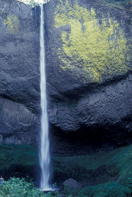
Latourell Falls, Columbia River Gorge, Oregon
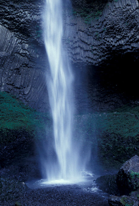
Latourell Falls, Columbia River Gorge, Oregon
The Vista House was built in 1917 on one of the most beautiful scenic points on the Historic Columbia River Highway. It was constructed to provide travelers a place to rest and refresh themselves as they made their way down the magnificent Columbia River Gorge. Learn More History Here.
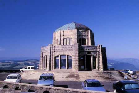
Vista House Museum and viewpoint, Columbia River, Oregon
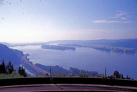
Columbia River from Vista House Museum and viewpoint, Columbia River, Oregon


