Saturday, June 20, 1998
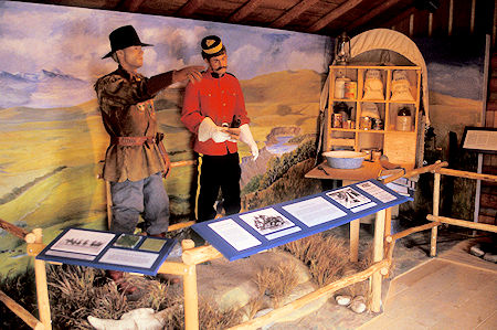
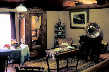
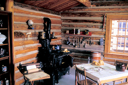
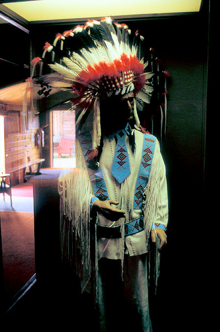
Backtracked to Pincher Creek for gas and ice, then decided to drive to Fort MacLeod, Alberta - to the east - and visited the Fort MacLeod Northwest Mounted Police Museum.
Interesting history but not a major attraction.
In the autumn of 1874, one hundred and fifty Northwest Mounted Police arrived here after an arduous 1,000 mile trek across the Canadian prairies.
On an island in the Oldman River just east of the present town they constructed the first police post in the West named Fort Macleod in honor of its commander, Col. James F. Macleod.
The town which developed near the fort was the most important commercial centre in southern Alberta throughout the early years of settlement.
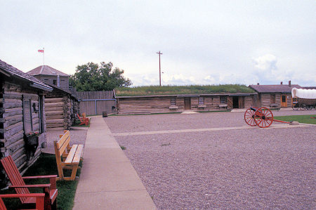
Fort MacLeod, Alberta
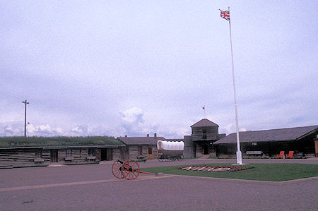
Fort MacLeod, Alberta
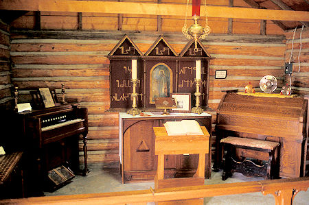
Fort MacLeod, Alberta
Fort MacLeod, Alberta
Fort MacLeod, Alberta
Fort MacLeod, Alberta
Fort MacLeod, Alberta
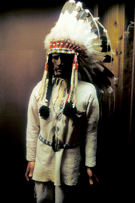
Fort MacLeod, Alberta
Then headed west, stopping at the Crystal Village - building made out of what looked like glass insulators mounted in concrete - in one foot blocks. More a curiosity than anything else.
Stopped at the Three Rivers Rock and Fossil Museum. Both of these "attractions" were privately owned. The rock and fossil collection was excellent - well worth the stop if a person is interested in such stuff.
Talked with the owner/collector who is also a farmer. He's collected stuff all over Canada, US, Mexico - traded with others for stuff from all over the world.
Has some calcite from the Sierra Nevada Mt. Baldwin area (between Convict and McGee Creeks). Enjoyed talking with him.
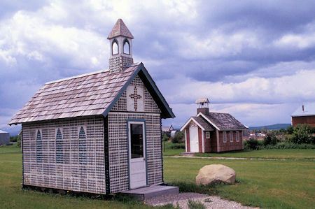
Crystal Village, Crowsnest area, Alberta
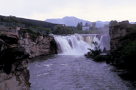
Lundbreck Falls, Crowsnest area, Alberta
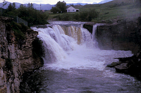
Lundbreck Falls, Crowsnest area, Alberta
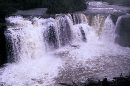
Lundbreck Falls, Crowsnest area, Alberta
Continued west with a brief stop at Lundbreck Falls. I was soon into the Crowsnest Pass area which is famous for its coal mining history.
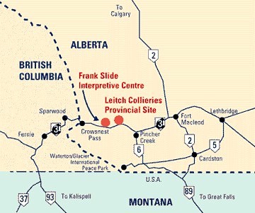
Stopped at the Leitch Collieries Provincial Interpretive Site where there are remains of a major coal mining/processing facility with nice interpretive panels.
A 'colliery' is a coal mining and processing plant. All of the major mines in the Crowsnest Pass had surface operations where coal was cleaned and graded prior to loading it onto railway cars for shipping, and some operated coke ovens, where coal was superheated without allowing it to burn, producing coke used in the steel industry.
The collieries in the Crowsnest Pass were big operations with large impressive structures of stone, brick and wood, each with their own power-generating stations and even their own towns. Leitch Collieries even had its own sandstone quarry, used in the construction of its facilities.
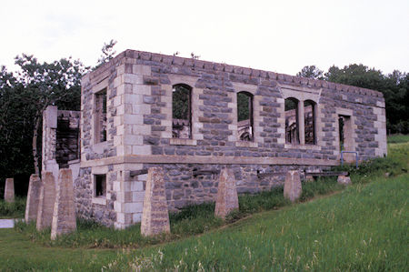
Leitch Collieries, Alberta
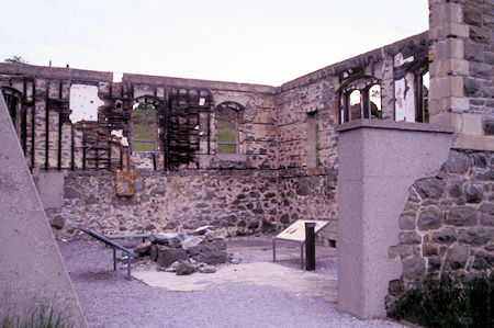
Leitch Collieries, Alberta
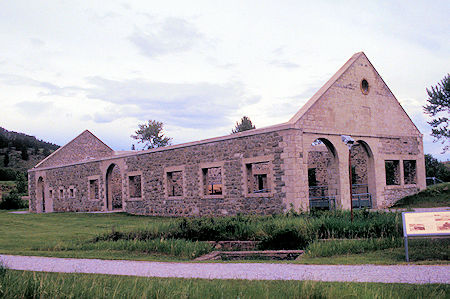
Leitch Collieries, Alberta
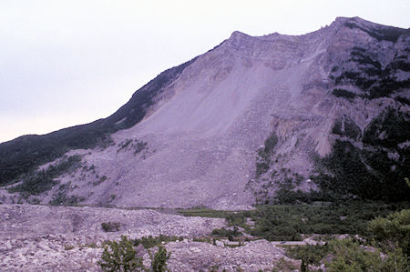
Turtle Mountain, Alberta - site of Frank Slide
A short distance west is the Frank Slide Interpretive Center - at 4:10 in the morning April 29, 1903, 82 million tons of Turtle Mountain above the town of Frank and the Frank coal mine collapsed and swooped down on the town just like an avalanche in less than 100 seconds. Killed 70 people and wiped out a mine - covered 1.2 square miles.
The interpretive center contains a lot of interesting exhibits about coal mining and has a twenty minute multi-projector slide show - I counted nine slide projectors. Very interesting and well done.
I then moved on to the Chinook Lake Provincial Recreation Area just west of Coleman, Alberta for a campsite. The weather has improved and the forecast is encouraging.
Sunday, June 21, 1998
The day started out SUNNY!
Saw some Rocky Mountain Sheep along the highway as I proceeded west over Crowsnest Pass to Sparwood, British Columbia.
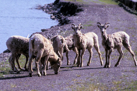
Rocky Mountain Sheep in Crowsnest Pass area, British Columbia
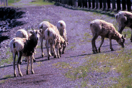
Rocky Mountain Sheep in Crowsnest Pass area, British Columbia
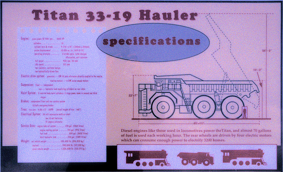
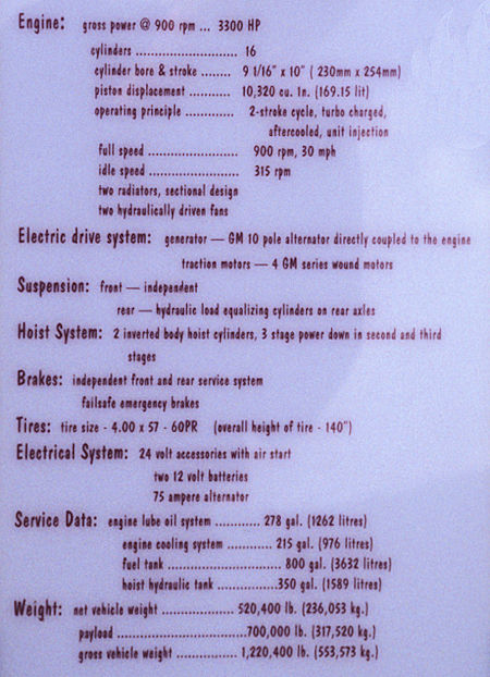
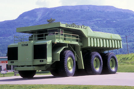
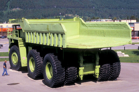
In Sparwood I saw the World's Largest Truck - only one this big ever built - was used in nearby open pit coal mine until it got too expensive to maintain.
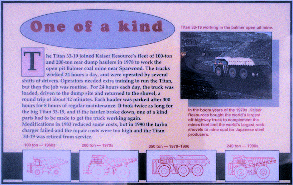
Worlds Biggest Truck, Sparwood, British Columbia
Worlds Biggest Truck, Sparwood, British Columbia
Worlds Biggest Truck, Sparwood, British Columbia
Worlds Biggest Truck, Sparwood, British Columbia
Worlds Biggest Truck, Sparwood, British Columbia
Continued west, then north to Radium Hot Springs, British Columbia where I made a brief stop to check it out.
Nestled in Sinclair Canyon, Radium Hot Springs, located in British Columbia's Kootenay National Park., includes a hot soaking pool and cooler swimming pool. Radium Hot Springs' mineral water is uniquely odourless and clear.
Nothing particularly interesting unless one wanted to go swimming in the hot or cold pool.
Wasn't nearly as crowded with people as in September 1997. I am apparently ahead of much of the tourist traffic.
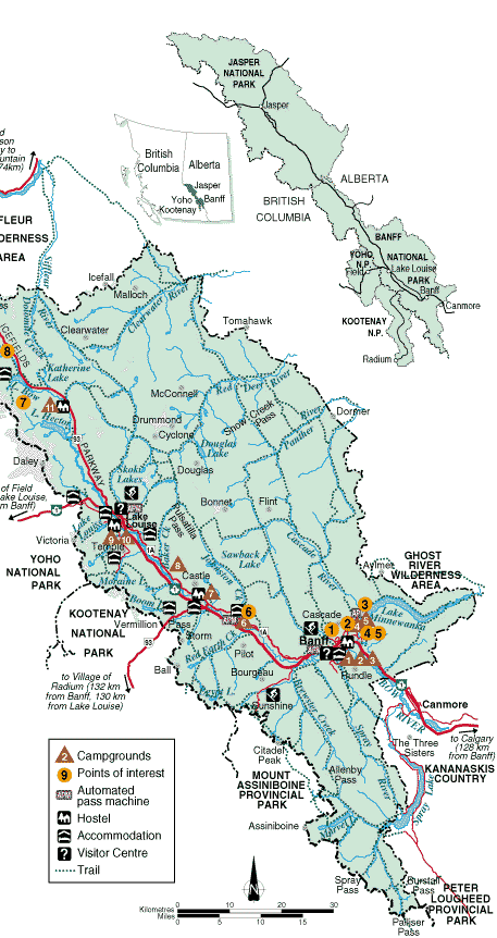
Saw some more Rocky Mountain Sheep along the road and made camp at Marble Canyon Campground in Kootenay National Park. Check out this Kootenay National Park Map.
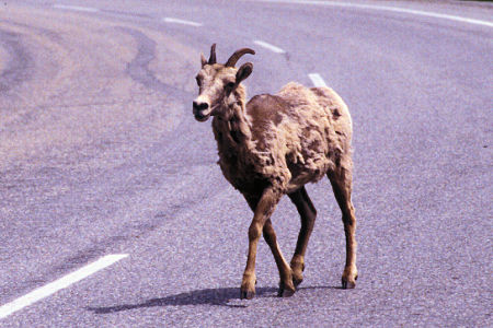
Rocky Mountain Sheep, Kootenay National Park, British Columbia
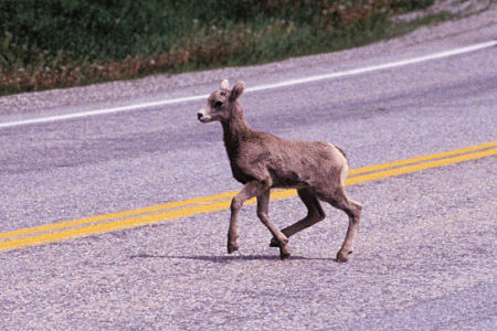
Rocky Mountain Sheep, Kootenay National Park, British Columbia
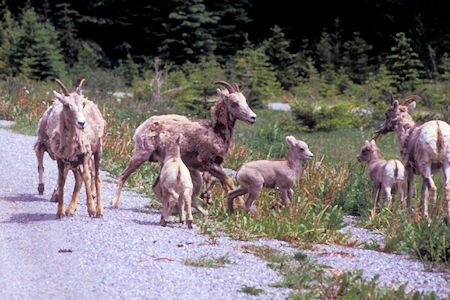
Rocky Mountain Sheep, Kootenay National Park, British Columbia
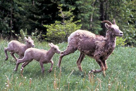
Rocky Mountain Sheep, Kootenay National Park, British Columbia
Monday, June 22, 1998
Another SUNNY! morning.
Took a short hike to visit the nearby Paint Pots. The area was used by Indians to gather OCHRE to use in body paint and on tepees.
The white man started mining it, first by hand, then with machinery, and shipped it back east to be used in paint. Mining stopped when the Park was created.
Mounds of OCHRE that were harvested but never shipped - like logs I've seen cut up in the Horseshoe Meadows area that were never hauled out.
Water coming from the Paint Pots - springs - carries the minerals that are then deposited in the stream and a meadow area.
Nice trail - crosses the Vermillion River on a suspension bridge. Worth seeing.
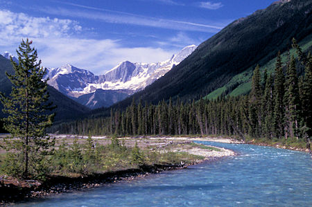
Vermillion River from bridge on way to Paint Pots
Kootenay National Park, British Columbia
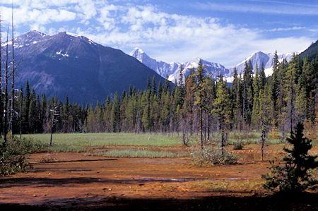
Paint Pots, Kootenay National Park, British Columbia
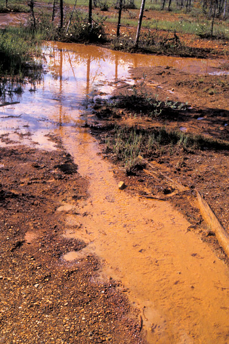
Paint Pots, Kootenay National Park, British Columbia
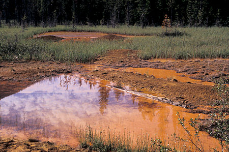
Paint Pots, Kootenay National Park, British Columbia
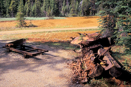
Mining remnants, Paint Pots, Kootenay National Park, British Columbia
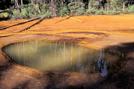
Paint Pots, Kootenay National Park, British Columbia
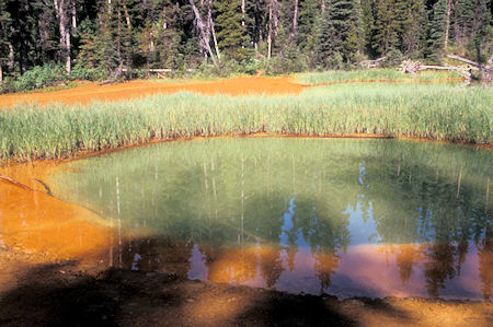
Paint Pots, Kootenay National Park, British Columbia
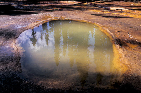
Paint Pots, Kootenay National Park, British Columbia
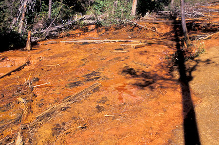
Paint Pots, Kootenay National Park, British Columbia
Then I hiked up nearby Marble Canyon to see the deep narrow canyon and a waterfall.
Numerous bridges over the canyon give you good views. Also worth seeing - best light for photography is late morning, early afternoon.
Turquoise, glacial waters and startling canyon walls grow ever more impressive along this short trail. Multiple bridges span the narrow gorge, crossing several times for spine-tingling views of the river below.
Check out this detailed Marble Canyon trip report with pictures.
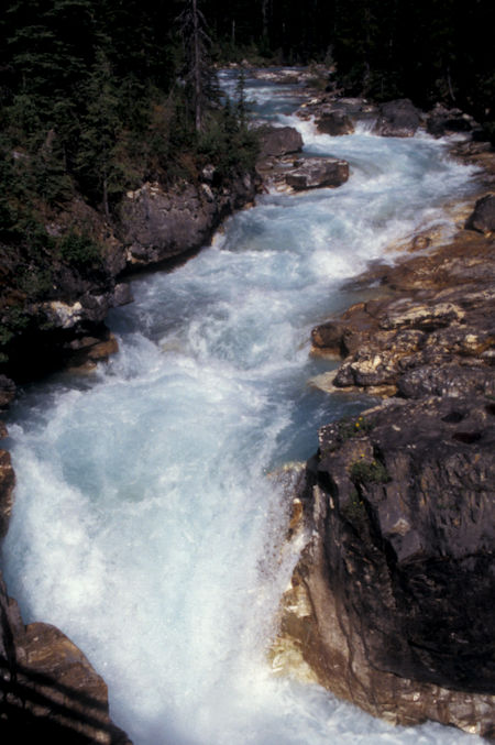
Marble Canyon, Kootenay National Park, British Columbia
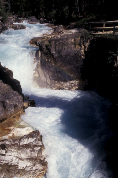
Marble Canyon, Kootenay National Park, British Columbia
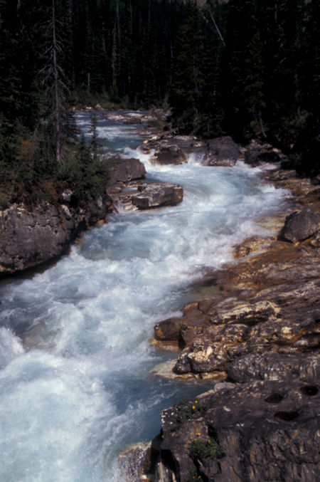
Marble Canyon, Kootenay National Park, British Columbia
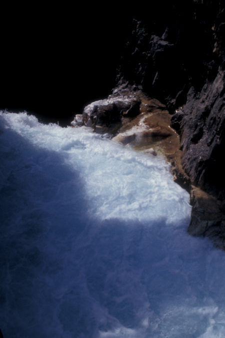
Marble Canyon, Kootenay National Park, British Columbia
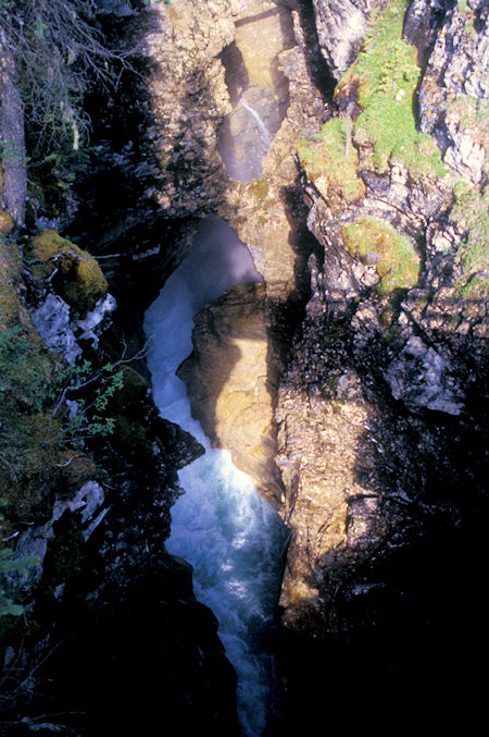
Marble Canyon, Kootenay National Park, British Columbia
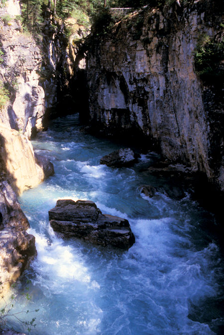
Marble Canyon, Kootenay National Park, British Columbia


