Saturday, July 4, 1998
Happy Independence Day!
Clear and Sunny with some smoke. Continued on to Haines Junction where the Klondike Highway to Haines departs from the Alaska Highway.
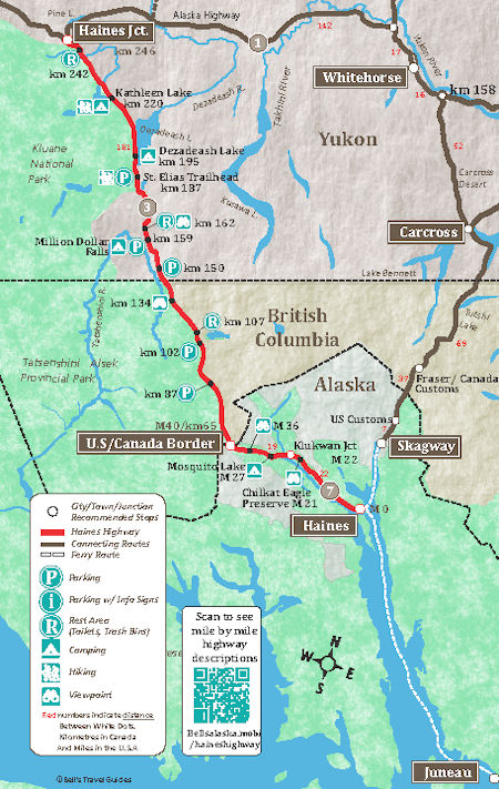
Headed south for Haines, AK - stopped to view Kathleen Lake - took a short hike up an interesting Rock Glacier Interpretive Trail in Kluane National Park .
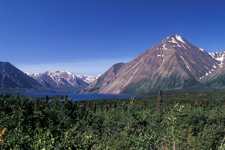
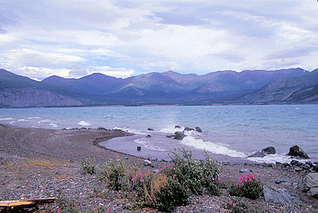
Kathleen Lake, Kluane National Park, Yukon Territory
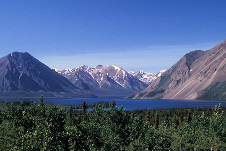
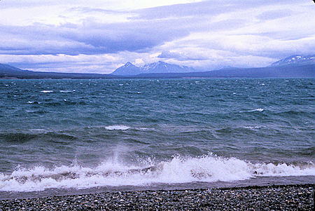
Kathleen Lake, Kluane National Park, Yukon Territory
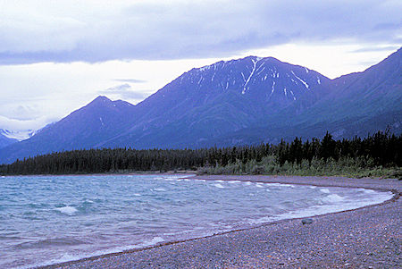
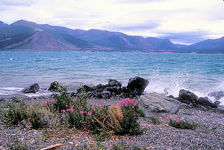
Kathleen Lake is located south of the town of Haines Junction within Kluane National Park and Reserve. Located at Haines Highway Kilometer 219.7. It hosts a day-use area, a boat launch, a campground, and several hiking trails, including the challenging 3.1 mile ascent to King's Throne, a natural, glacially-formed amphitheater overlooking the lake.
Kathleen Lake is characterized by exceptionally clear waters and the presence of kokanee salmon, a landlocked population of Sockeye living and reproducing solely in freshwater bodies.
Kathleen Lake was named for a girl from Berwickshire County, Scotland, left behind by William "Scotty" Hume (1868–1950), a North-West Mounted Police constable (Reg. #2259) stationed on the Dalton Trail from 1900 to 1902.
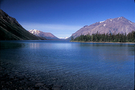
Kathleen Lake, Kluane National Park, Yukon Territory
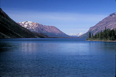
Kathleen Lake, Kluane National Park, Yukon Territory
There were fine views of Alsek Range, St. Elias Mountains, etc. along the way.
Dezadeash Lake in the Yukon Territory borders Kluane National Park, and lies along the edge of the Saint Elias Mountains.
A World War II military camp was based here, at kilometer mile 125 of the Haines Highway, during the construction of the Haines and Alaska Highways. This camp was later converted into a lodge named Dezadeash Lodge in the 1960s. The lodge passed through various owners including Merle Lien, the father of recording artist Matthew Lien.
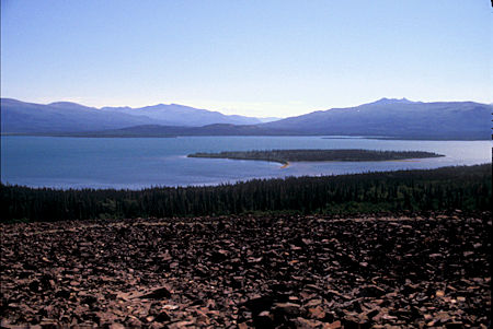
Dezadeash Lake, Yukon Territory
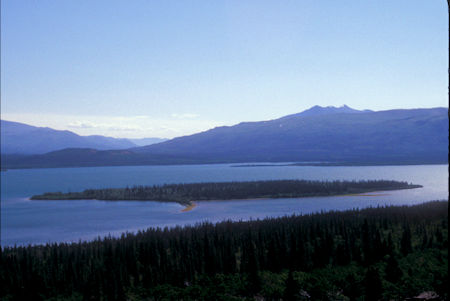
Dezadeash Lake, Yukon Territory
The Alsek Ranges are the southeasternmost subdivision of the Saint Elias Mountains of the Pacific Cordillera. They span the region between the Alsek River, Glacier Bay and the Kelsall River (which is the route of the highway from Haines, Alaska to Haines Junction, Yukon).
Their western boundary is the Grand Pacific Glacier, beyond which is the Fairweather Range, another subdivision of the St. Elias Mountains.
To their east is the northernmost section of the Boundary Ranges, the northernmost subdivision of the Coast Mountains and which are also known as the Alaska Boundary Range, and which run south to the Nass River and form, as their name indicates, the spine of the boundary between the American state of Alaska and the Canadian province of British Columbia.
All of the British Columbia portion of the Alsek Ranges are in the Tatshenshini-Alsek Park. Most of the Alaskan portion between the Lynn Canal and Glacier Bay is part of Glacier Bay National Park and Preserve, and most of the Yukon portion is in Kluane National Park and Reserve.
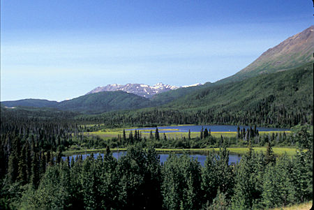
Alsek Range, Kluane National Park, Yukon Territory
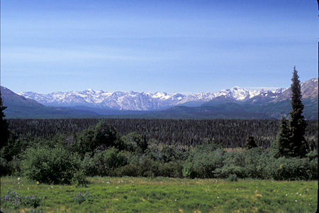
Alsek Range, Kluane National Park, Yukon Territory
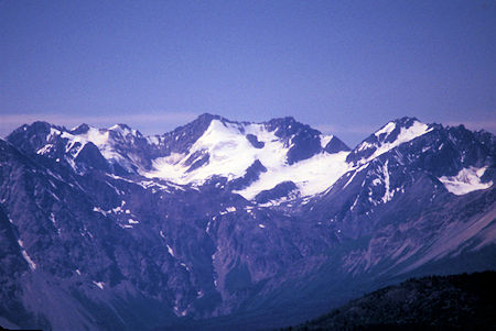
Alsek Range, Kluane National Park, Yukon Territory
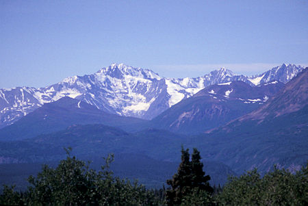
Alsek Range, Kluane National Park, Yukon Territory
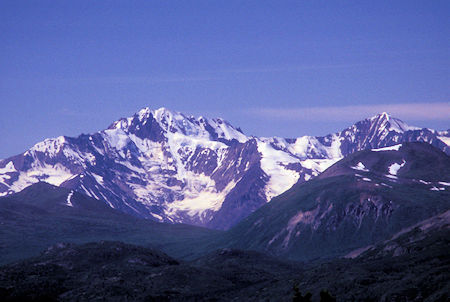
Alsek Range, Kluane National Park, Yukon Territory
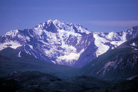
Alsek Range, Kluane National Park, Yukon Territory
Stopped to see the Million Dollar Falls on the Takhanne River - nice cascade of 197 feet. No one knows where the Million Dollar name came from.
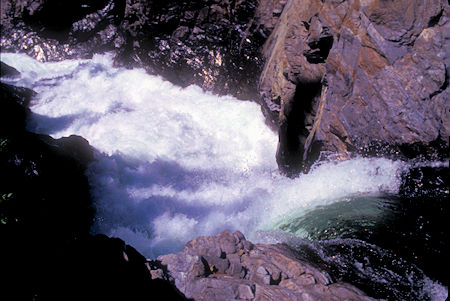
Million Dollar Falls, Kluane national Park, Yukon Territory
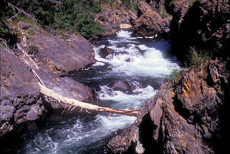
Takhanne River above Million Dollar Falls, Kluane national Park, Yukon Territory
Tatshenshini-Alsek Park or Tatshenshini-Alsek Provincial Wilderness Park is a provincial park in British Columbia, Canada 3,700 square miles. It was established in 1993 after an intensive campaign by Canadian and American conservation organizations to halt mining exploration and development in the area, and protect the area for its strong natural heritage and biodiversity values.
The park is situated in the very northwestern corner of British Columbia, bordering the American state of Alaska and the Canadian Yukon Territory. It nestles between Kluane National Park and Reserve in the Yukon and Glacier Bay & Wrangell–St. Elias National Parks and Preserves in Alaska. It is part of the Kluane-Wrangell-St. Elias-Glacier Bay-Tatshenshini-Alsek park system, and in 1994 was designated as a UNESCO World Heritage Site.
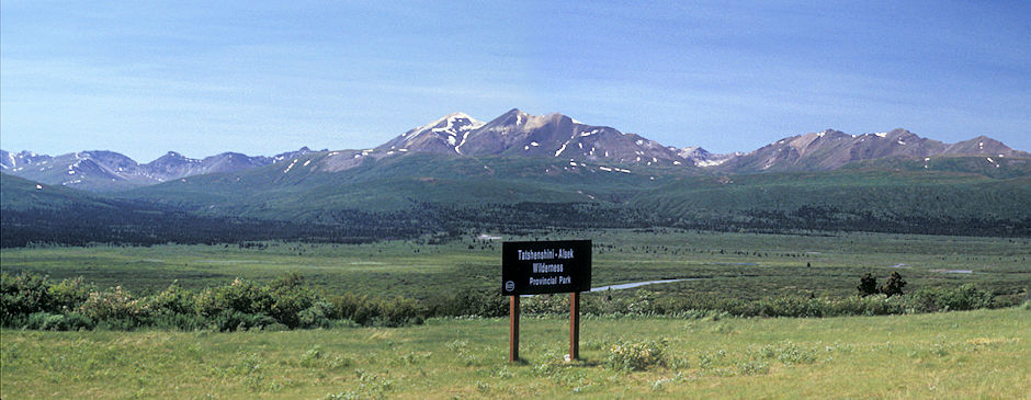
Tatshenshini-Alsec Wilderness Park, British Columbia
Some fine mountains from the Haines Highway near the Alaska/Canada border in British Columbia
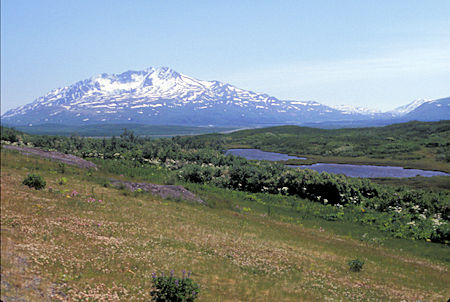
Mountains near Alaska/Canada border, British Columbia
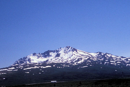
Mountains near Alaska/Canada border, British Columbia
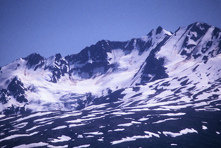
Mountains near Alaska/Canada border, British Columbia
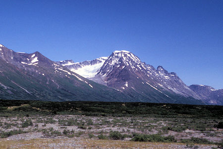
Mountains near Alaska/Canada border, British Columbia
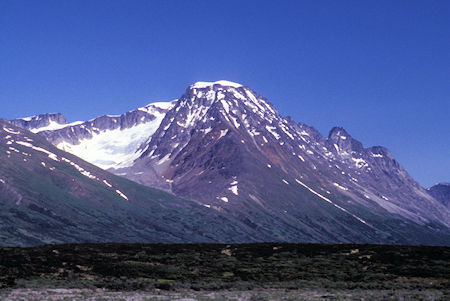
Mountains near Alaska/Canada border, British Columbia
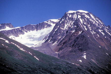
Mountains near Alaska/Canada border, British Columbia
Three Guardsmen Mountain, British Columbia is an impressive view from the Haines Highway near Chilkat Pass.
As I approached Chilkat Pass, the scenery was outstanding - particularly with the sunny day - snow and glaciers on the mountains - great alpine scenery - this area is different from the route to Skagway - this is more VAST - overwhelming in a sense.
Impossible to photograph adequately but I stopped and tried a lot anyway.
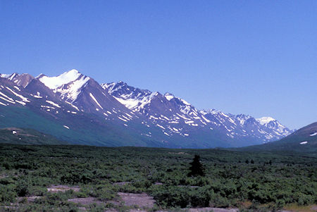
Chilkat Pass area, near Alaska/Canada border, British Columbia
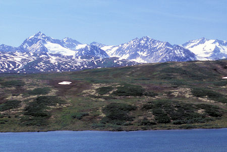
Chilkat Pass area, near Alaska/Canada border, British Columbia
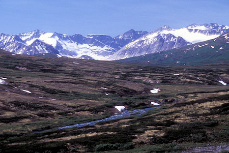
Chilkat Pass area, near Alaska/Canada border, British Columbia
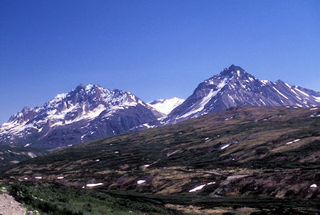
The Three Guardsmen Mountain (right), Chilkat Pass area, near Alaska/Canada border
British Columbia
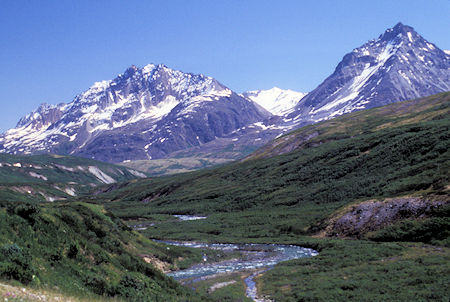
The Three Guardsmen Mountain (right), Chilkat Pass area, near Alaska/Canada border
British Columbia
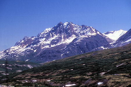
Chilkat Pass area, near Alaska/Canada border, British Columbia
Made camp at Mosquito Lake Alaska State Park - small - lived up to it's name. When I got there, the first several campsites were occupied by a bunch of families playing horseshoes, volley ball, etc. - 4th of July picnic I guess. There were two campsites available - one was large and suitable for a motor home or such, so I took the other one next to a site occupied by a tent and pickup.
As evening arrived, so did a bunch of bicyclers, who almost all joined the campsite next to me - sort of surrounded me. The pickup and tent were apparently the "advance crew". The picnic group left around 11 p.m. so in the morning I moved to one of those sites, away from the bicyclers, to have breakfast, etc.
Sunday, July 5, 1998
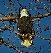
Bald Eagle - Alaska Parks photo
Awoke to high clouds that didn't get much better as the day progressed. Headed on into Haines - there is the Chilkat Bald Eagle Preserve along the way with a nice interpretive display - unfortunately, this is the wrong time of year to see Eagles - they won't be back until fall.
The Alaska Chilkat Bald Eagle Preserve was created by the State of Alaska in June of 1982. The preserve was established to protect and perpetuate the world's largest concentration of Bald Eagles and their critical habitat.
It also sustains and protects the natural salmon runs and allows for traditional uses; provided such uses do not adversely affect preserve resources.
The Preserve consists of 48,000 acres of river bottom land of the Chilkat, Kleheni, and Tsirku Rivers. The boundaries were designated to include only areas important to eagle habitation. Virtually every portion of the preserve is used by eagles at some time during the year.
Great scenery along the Chilkat River but the road has no shoulders and few turnouts for picture taking - AND, today the lighting was poor.
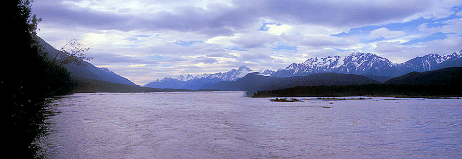
Chilkat River north of Haines, Alaska
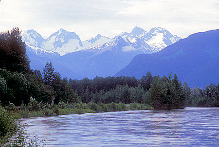
Chilkat River north of Haines, Alaska
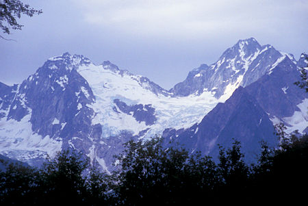
Chilkat River north of Haines, Alaska
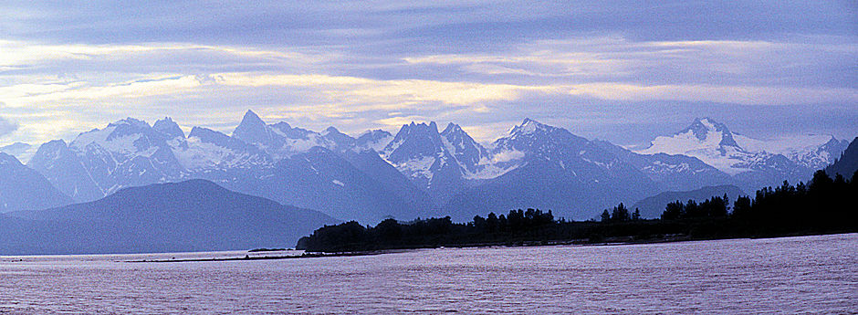
Chilkat River north of Haines, Alaska
Lynn Canal is an inlet (not an artificial canal) into the mainland of southeast Alaska.
Lynn Canal runs about 90 miles from the inlets of the Chilkat River south to Chatham Strait and Stephens Passage. At over 2,000 feet in depth, Lynn Canal is the deepest fjord in North America (outside Greenland) and one of the deepest and longest in the world.
Lynn Canal was explored by Joseph Whidbey in 1794 and named by George Vancouver for his birthplace, King's Lynn, Norfolk, England.
Lynn Canal's location as a penetrating waterway into the interior connects Skagway and Haines, Alaska, to Juneau and the rest of the Inside Passage thus making it a major route for shipping, cruise ships, and ferries.
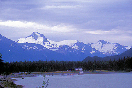
Lynn Canal near Haines, Alaska
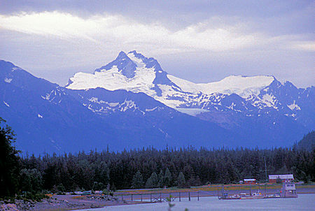
Lynn Canal near Haines, Alaska
I had overlooked that fact that there are two State Parks with campground available near Haines - much nicer than Mosquito Lake. I checked them out and space was available in both.
Talked to the campground host (who was from Kentucky and moving to Virginia) at Chilkat State Park who said they run about 60% occupancy except on Canadian holidays when people from Whitehorse come down.
Nice views of Rainbow Glacier and the 800 foot waterfall below it. Also Davidson Glacier nearby.
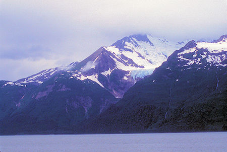
Rainbow Glacier, Haines, Alaska
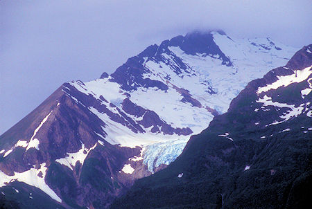
Rainbow Glacier, Haines, Alaska
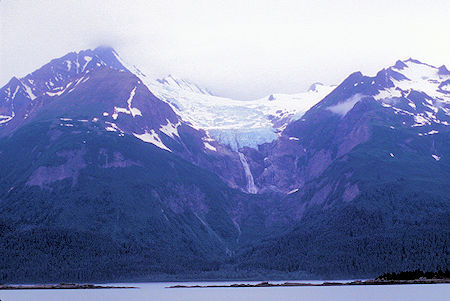
Rainbow Glacier, Haines, Alaska
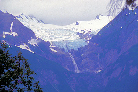
Rainbow Glacier, Haines, Alaska
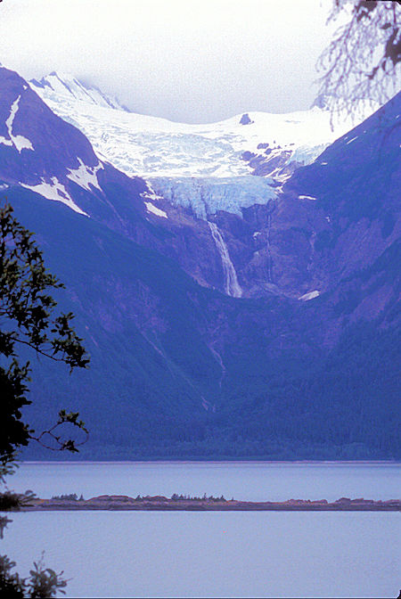
Rainbow Glacier, Haines, Alaska
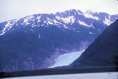
Davidson Glacier, Haines, Alaska
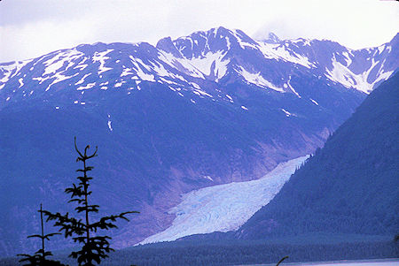
Davidson Glacier, Haines, Alaska
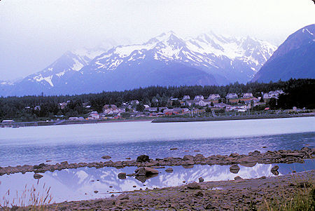
Waterfront, Haines, Alaska
The small town of Haines lies at the north end of Alaska's southeast panhandle. Unlike most towns in Southeast Alaska, you can reach Haines by road as well as ferry. The Haines Highway runs from Haines Junction, Yukon, 150 miles south to Haines, Alaska.
Haines was a fuel depot during World War II - pipeline to Whitehorse. Fort Steward, a typical early Army Post with the officer's houses around the parade ground, is not much to look at. All of the buildings are now privately owned and mostly not very well kept up.
Haines is in sort of a transition stage - was a fishing port but that has declined - the Alaska State Ferry docks here, and some Cruise Ships, but Haines doesn't have the appeal or elegance of Skagway.
Except for the scenery, Haines doesn't offer much to see. Too much dilapidated stuff around - lots of people just surviving.
Portage Cove State Recreational Site located along the waterfront about 1 mile south of downtown Haines on Beach Road is a very scenic camp site for tent camping for backpackers and bicyclists only. NO overnight parking is allowed. Offers a wonderful view of the Chilkoot Inlet and surrounding mountains.
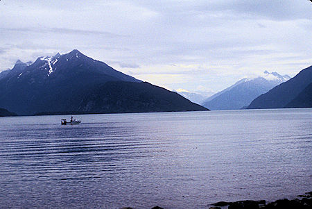
Portage Cove, Haines, Alaska
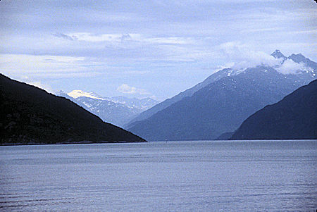
Portage Cove, Haines, Alaska
Ate lunch at Chilkoot Lake State Park - the other campground. The lake historically is important to the Chinook Salmon but this year the number returning up the river has apparently been very low.
I've been surprised at the low volume of vehicles and people in many of these places along the route so far.
While driving to the first State Park at Haines, I had seen a Moose disappear into the trees - no chance to photograph.
Left Haines about noon back to Haines Junction. High clouds obscured the peaks that were in bright sun yesterday, but the high country was still pretty, interesting, and impressive - but glad I had sun yesterday.
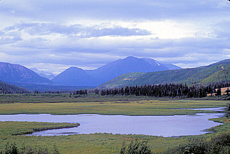
Near Klukshu Creek, Haines Highway, Yukon Territoryy
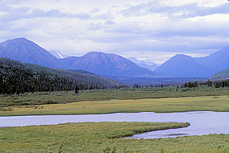
Near Klukshu Creek, Haines Highway, Yukon Territor
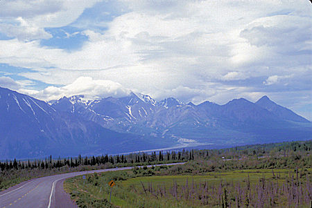
Near Haines Juntion, Yukon Territory
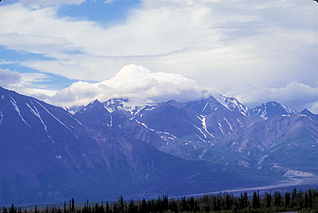
Near Haines Juntion, Yukon Territory
As I was nearing Haines Junction, a mature Black Bear (actually Black too), walked out of the trees, calmly trotted across the highway in front of me, and disappeared on the other side before I could stop and get a picture.
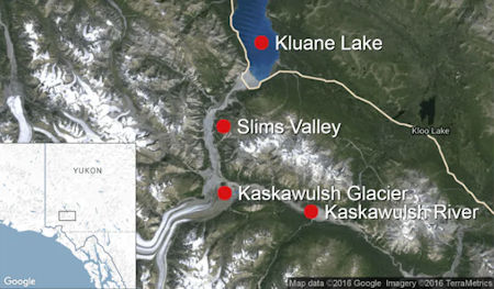
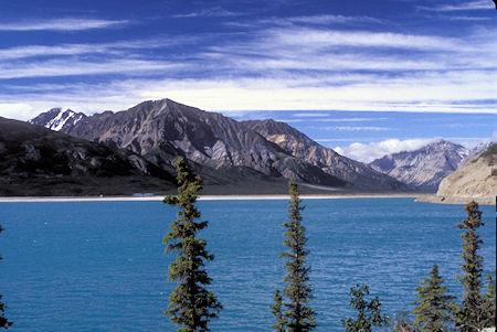
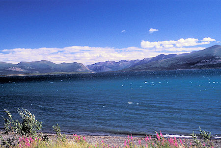
Back on the Alaska Highway I stopped at Kluane Lake viewpoint, largest lake in the Yukon. Glacial silt gives it nice color.
The Alaska Highway follows most of Kluane Lake's southern border, and the drive offers views of the lake.
Kluane Lake is located in the southwest area of the Yukon approximately 37 miles northwest of Haines Junction. The lake has a mean depth of 102 feet and a maximum depth of 299 feet. It is the largest lake contained entirely within Yukon at approximately 158 square miles and 50 miles long.
Until 2016, Kluane Lake was fed by the A'ay Chu (Slims River), which was composed of meltwater from the Kaskawulsh Glacier, located within Kluane National Park. The lake drains into the Kluane River, whose waters flow into the Donjek River, White River, Yukon River, and eventually the Bering Sea. The lake has a high density of large-bodied lake trout and whitefish and is known for its fishing.
In 2016 the Kaskawulsh Glacier retreated to the point that all of its melt water is going into the Kaskawulsh River and ultimately to the Pacific Ocean. Details here.
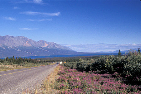
Kluane Lake, Yukon Territory
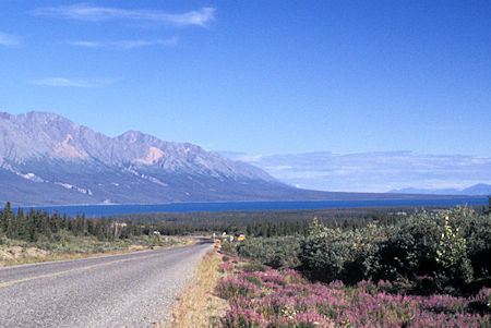
Kluane Lake, Yukon Territory
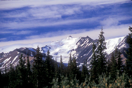
View at Kluane Lake, Yukon Territory
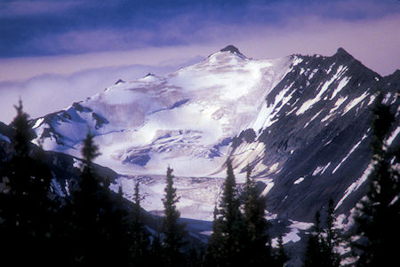
View at Kluane Lake, Yukon Territory
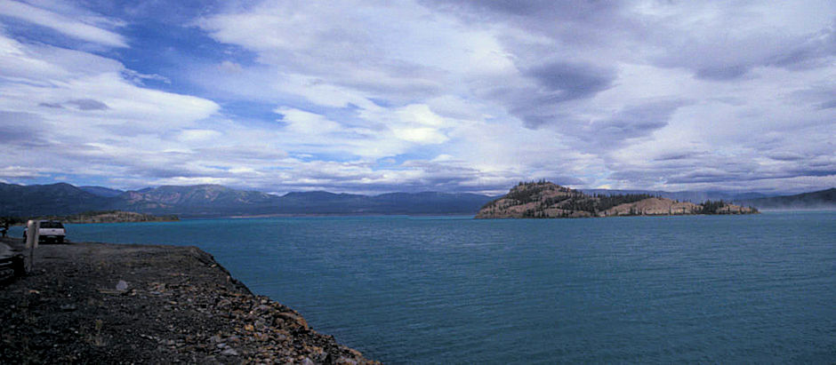
Kluane Lake, Yukon Territory (Stitched)
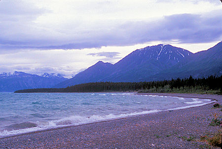
Kluane Lake, Yukon Territory
Kluane Lake, Yukon Territory
Kluane Lake, Yukon Territory
Kluane Lake, Yukon Territory
Kluane Lake, Yukon Territory
Kluane Lake, Yukon Territory
Kluane Lake, Yukon Territory
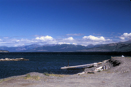
Kluane Lake, Yukon Territory
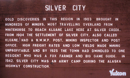
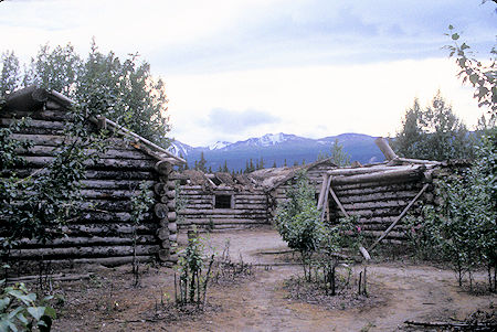
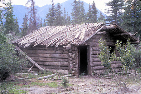
Stopped to see Silver City, a mining era ghost town that survived until about 1925 - as a result many of the buildings are not totally collapsed.
The Kluane Lake area was the site of a short-lived gold rush in the early 1900s. Dawson Charlie, one of the discoverers of gold in the Klondike, staked the first claim on 4th of July Creek in the summer of 1903. By the end of that year 2,000 claims had been staked in the Kluane region.
The North-West Mounted Police (NWMP) followed closely behind the prospectors, setting up summer detachments in canvas tents on Ruby Creek, Bullion Creek and Pine Creek in 1904. A permanent detachment was established at the outlet of Silver Creek where a small community, called Kluane or Silver City had sprung up. The NWMP barracks, a district mining office and a post office were among the buildings in the new community.
The Southern Tutchone, who were constant travellers, had a network of trails throughout the area. When roads began to be developed in the territory, these trails often provided the route to follow.
Silver City was the terminus of a trail between Whitehorse and Kluane Lake. The trail was upgraded to a wagon road in 1904 to serve area miners.
The first optimism about rich findings was deflated by low returns. By 1914, less than $40,000 of gold had been taken from the creeks, while one hydraulic mining company alone had spent more than $300,000 on buildings and equipment in hopes of striking it rich. Louis Jacquot is believed to have taken the largest single consignment of gold from the Burwash area: 220 ounces then valued at about $4,000.
Louis Jacquot and his brother Eugene had established a trading post at Jacquot's (Burwash) Landing in 1904. Freight for the post, near the north end of the lake, was brought from Whitehorse by road as far as Silver City and then taken down Kluane Lake to Burwash Landing.
The Jacquots also worked as big game outfitters in the Kluane Lake area from the 1920s to the 1940s. The road between Whitehorse and Kluane Lake was improved again in 1923 to serve the new boom of tourists who spent $2000 to $3000 each for a 30-40 day hunt. In 1942, when the Alaska Highway was constructed, it followed much of the route of the original road.
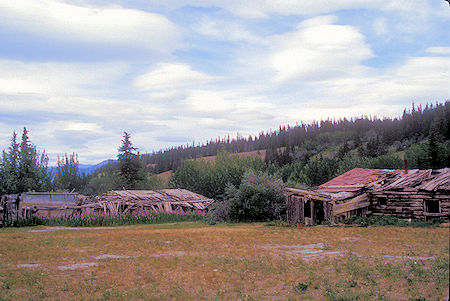
Silver City ghost town, Kluane Lake, Yukon Territory
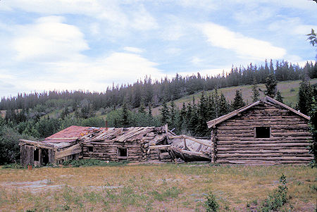
Silver City ghost town, Kluane Lake, Yukon Territory
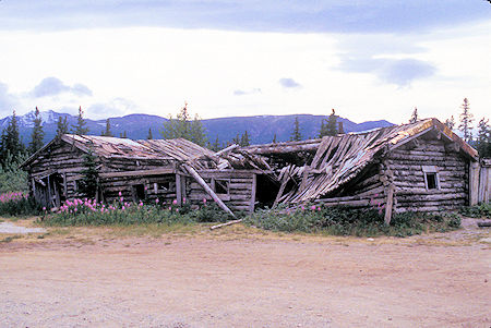
Silver City ghost town, Kluane Lake, Yukon Territory
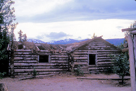
Silver City ghost town, Kluane Lake, Yukon Territory
Silver City ghost town, Kluane Lake, Yukon Territory
Silver City ghost town, Kluane Lake, Yukon Territory
Made camp at Congdon Creek Yukon Government Campground on Kluane Lake. The wind was really blowing and the large lake was alive with whitecaps.
Monday, July 6, 1998
Today started out beautiful and sunny, so I backtracked a few miles to see if I could get better pictures of Kluane Lake. Also stopped and took the short hike up to Soldiers Summit on the original Alaska Highway route.
The Alaska Highway - The Alcan Military Highway from Dawson Creek, British Columbia to Big Delta, Alaska, was opened here at Soldier's Summit on 20 November 1942. Relying on local Native guides and generally following existing trails, United States military and civilian personnel finished the road in under 10 months.
Intended to support the airfields of the Northwest Staging Route, much of the road became part of the Alaska Highway. Its completion in 1943 opened the Northwest to southern exploitation of natural resources, altering Yukon settlement patterns and changing Native ways of life.
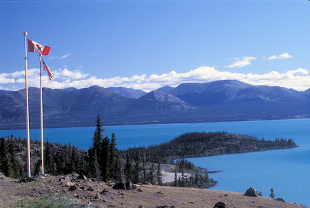
Soldier Summit where where Alcan Highway was officially openned November 20, 1942
Kluane Lake, Yukon Territory
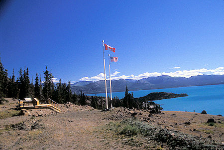
Soldier Summit where where Alcan Highway was officially openned November 20, 1942
Kluane Lake, Yukon Territory
Stopped at Destruction Bay, so named because the hurricane like winds have historically flattened buildings - once practically wiped out the place. It was a main camp during construction of the highway and a way station/maintenance station during the war. It has a school and small population but it appears that some tourist oriented businesses have closed.
All of this area I have been traveling through the past several days seems to be suffering from a drought - very dry - was a dry winter - can see it in some of the vegetation - on July 4, they imposed a no open fires ban because of the fire danger.
Driving on the highway along Kluane Lake is sort of like driving along U.S. 395 in our area. There are high and majestic mountains on one side - like the Sierra - and the lake with less impressive mountains on the other side - like Crowley and the White Mountains, etc.
There are lots of deep purple flowers along the road which brightens up the scene. I've noticed very few semi-trucks on the highway, which helps keep it from being too beat up, I guess.
Most of the highway has been fine - lots of it is now wide with shoulders, gentle curves and hills. Even the older parts are not too bad. Today, I did run into two five mile or so stretches of gravel/construction and a few areas with numerous gravel patches - but not bad. I had similar roads in Montana and Idaho in 1997.
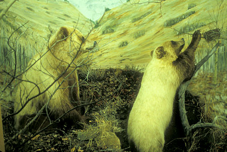
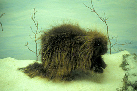
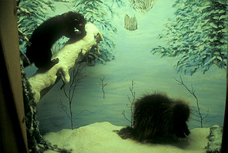
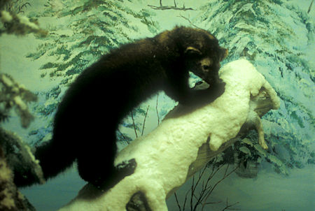
At Burwash Landing, I stopped to see the Kluane Museum of History - SUPERB MUST SEE - outstanding exhibits of numerous animals native to the area - well worth seeing. The displays are well lighted so I have some good pictures (using ASA 400 film).
Also displayed are Native clothing, tools and weapons of the Southern Tutchone people as well as minerals and gemstones that are found in the Yukon (added since my visit in 1998.
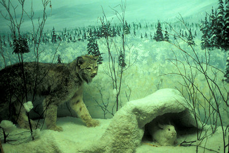
Kluane History Museum Exhibit, Burwash Landing, Yukon Territory
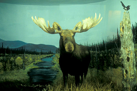
Kluane History Museum Exhibit, Burwash Landing, Yukon Territory
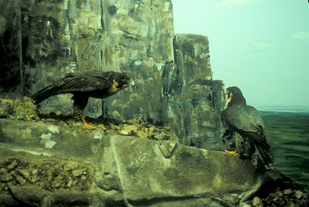
Kluane History Museum Exhibit, Burwash Landing, Yukon Territory
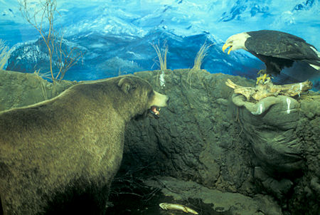
Kluane History Museum Exhibit, Burwash Landing, Yukon Territory
Kluane History Museum Exhibit, Burwash Landing, Yukon Territory
Kluane History Museum Exhibit, Burwash Landing, Yukon Territory
Kluane History Museum Exhibit, Burwash Landing, Yukon Territory
Kluane History Museum Exhibit, Burwash Landing, Yukon Territory
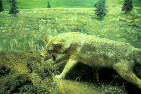
Kluane History Museum Exhibit, Burwash Landing, Yukon Territory
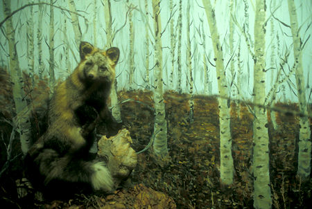
Kluane History Museum Exhibit, Burwash Landing, Yukon Territory
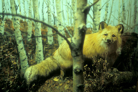
Kluane History Museum Exhibit, Burwash Landing, Yukon Territory
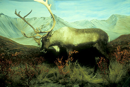
Kluane History Museum Exhibit, Burwash Landing, Yukon Territory
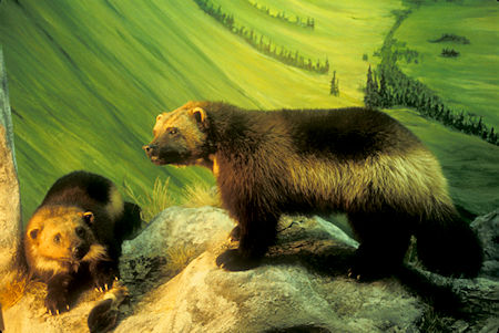
Kluane History Museum Exhibit
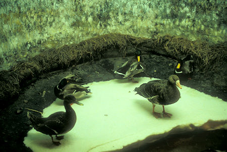
Kluane History Museum Exhibit, Burwash Landing, Yukon Territory
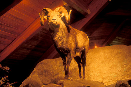
Kluane History Museum Exhibit, Burwash Landing, Yukon Territory
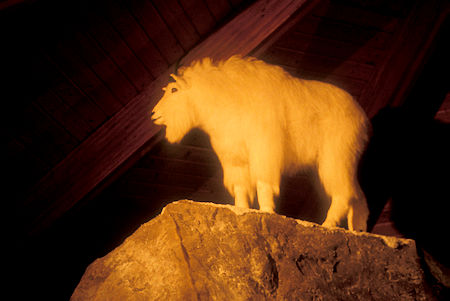
Kluane History Museum Exhibit, Burwash Landing, Yukon Territory
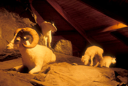
Kluane History Museum Exhibit, Burwash Landing, Yukon Territory
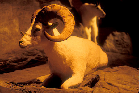
Kluane History Museum Exhibit, Burwash Landing, Yukon Territory
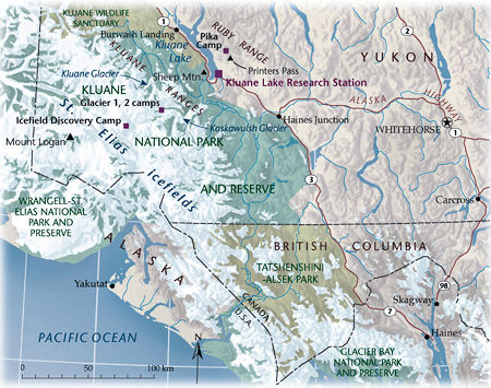
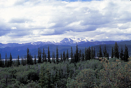
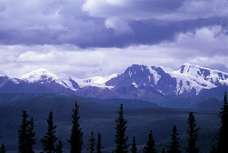
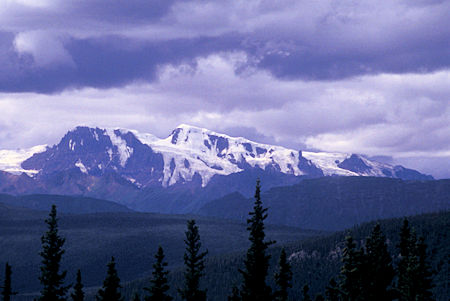
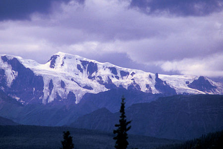
Continuing north on the Alaska Highway, I stopped at a viewpoint for the Icefield Ranges which include the highest and youngest mountains in Canada. They form the main group of peaks in the St. Elias Mountains and include Canada’s highest mountain, Mount Logan, at 19,545 feet plus six other peaks over 16,000 feet.
The largest non-polar icefield in North America extends over most of Kluane National Park and Reserve, sending long glacial fingers into the valleys between the peaks. The ice is more than 2200 feet thick in the heart of the icefield ranges.
This icefield is the remnant of previous glaciations. The latest was the Kluane Glaciation between 29,500 and 12,500 years ago. As the glaciers melted and retreated, wind-blown silt (called loess) blanketed the newly exposed rock. The new soil supported grasses that fed bison, moose and caribou. Stone suitable for tool making was exposed for the interior First Nation hunters.
Mountaineering and scientific explorations in the interior mountains began more than a century ago. In 1896, the Duke of Abruzzi, an Italian nobleman, made the first successful ascent of Mount St. Elias – the second highest mountain in Canada at 5489 metres.
Between 1911 and 1913, the international boundary was surveyed through the Icefield Ranges. The Arctic Institute established the Icefield Ranges Research Station in 1961 to study the high mountains and associated ranges, and this work continues today.
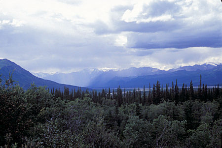
View from Icefield Ranges viewpoint, Kluane National Park, Yukon Territory
View from Icefield Ranges viewpoint, Kluane National Park, Yukon Territory
View from Icefield Ranges viewpoint, Kluane National Park, Yukon Territory
View from Icefield Ranges viewpoint, Kluane National Park, Yukon Territory
View from Icefield Ranges viewpoint, Kluane National Park, Yukon Territory
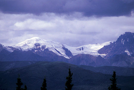
View from Icefield Ranges viewpoint, Kluane National Park, Yukon Territory
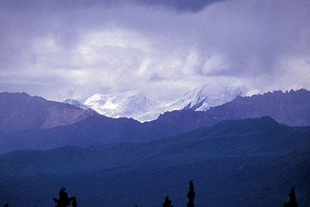
View from Icefield Ranges viewpoint, Kluane National Park, Yukon Territory
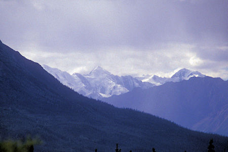
View from Icefield Ranges viewpoint, Kluane National Park, Yukon Territory
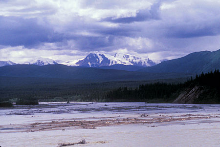
View over Donjer River from bridge, Kluane National Park, Yukon Territory
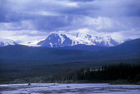
View over Donjer River from bridge, Kluane National Park, Yukon Territory
Crossed the Canada/Alaska border about 3:30 p.m. (Pacific) and made camp at Deadman Lake Fish and Game Campground in the Tetlin National Wildlife Refuge an hour later.
SO.... I finally made it to Alaska .
Tuesday, July 7, 1998
Light rain during the night, heavy overcast in the morning, so since I had been on the road every day for 22 days, decided to take a layover day.
Took a short walk on the campground nature trail - saw yellow roses (bushy cinquefoil) and learned that the small Black Spruce trees (also known as bog spruce and swamp spruce) were small because they were growing on top of permafrost (permanently frozen ground) which means the roots are growing in a cool/cold climate. Trees with a diameter of two inches may be as old as 100 years.
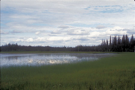
Deadman Lake, Black Spruce Forest, Tetlin National Wildlife Refuge, Alaska
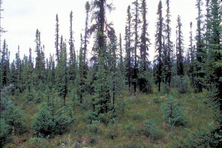
Black Spruce Forest, Tetlin National Wildlife Refuge, Alaska
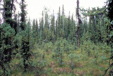
Black Spruce Forest, Tetlin National Wildlife Refuge, Alaska
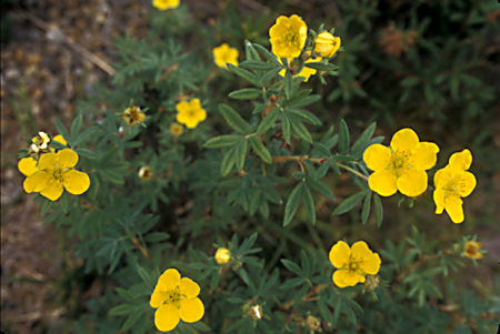
Bushy Cinquefoil, Black Spruce Forest, Tetlin National Wildlife Refuge, Alaska
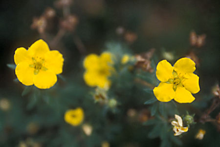
Bushy Cinquefoil, Black Spruce Forest, Tetlin National Wildlife Refuge, Alaska
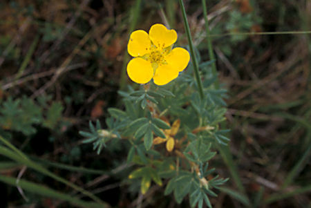
Bushy Cinquefoil, Black Spruce Forest, Tetlin National Wildlife Refuge, Alaska
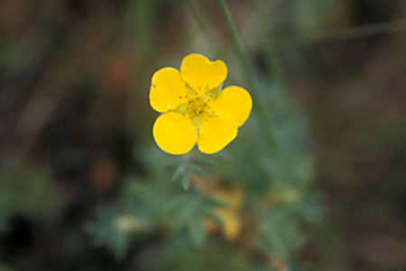
Bushy Cinquefoil, Black Spruce Forest, Tetlin National Wildlife Refuge, Alaska
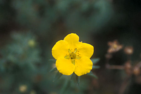
Bushy Cinquefoil, Black Spruce Forest, Tetlin National Wildlife Refuge, Alaska
Wednesday, July 8, 1998
Beautiful SUNNY morning. As I continued west on the Alaska Highway a mature Moose ambled out of the woods, across the highway in front of me, and disappeared in the woods before I could stop and get a picture.
Nice views driving along side the Tanana River. Went through a forest fire area that they were still working on - just mopping up - flag person said was started by a cigarette.
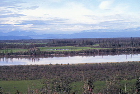
View along the Tanana River, Alaska Highway, Alaska
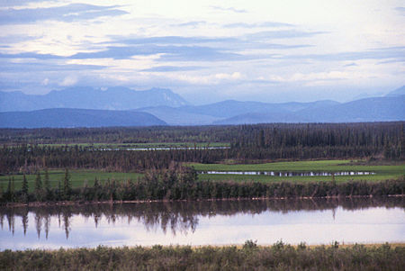
View along the Tanana River, Alaska Highway, Alaska
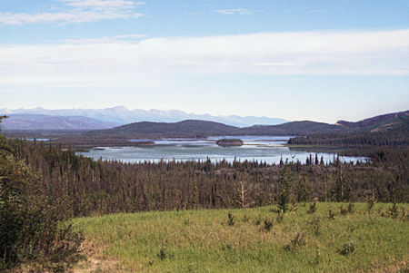
View along the Tanana River, Alaska Highway, Alaska
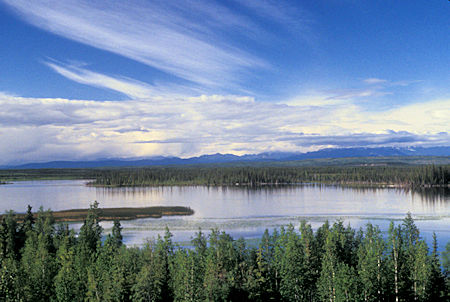
View along the Tanana River, Alaska Highway, Alaska
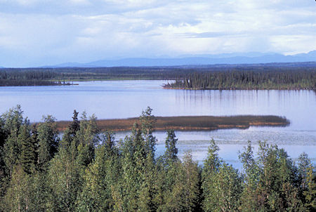
View along the Tanana River, Alaska Highway, Alaska
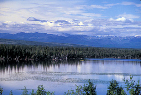
View along the Tanana River, Alaska Highway, Alaska
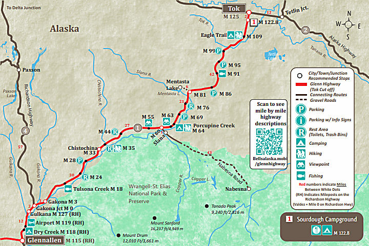
Stopped at Tok, Alaska for gas and food. Checked out the Visitor Center, then headed south on the Glenn Highway "Tok Cutoff" Alaska Highway 1.
Stopped for various viewpoints but most were too "distant" and a high overcast had come in.
Also had two construction stops and a lot of miles of gravel road that was in the process of being rebuilt. Not bad, just slow.
Came to the Richardson Highway and turned south. Stopped at Dry Creek Alaska State Campground for the night.


