Thursday, July 30, 1998
Awoke to a BEAUTIFUL CLEAR BLUE SKY. The Kodak god and Denali god were shining on me as I got a quick start out of camp. As I approached the junction of the Denali and Parks highways, Denali (Mt. McKinley) suddenly popped up in its full glory as I topped a hill. I started taking pictures immediately - afraid I would lose the mountain to clouds.
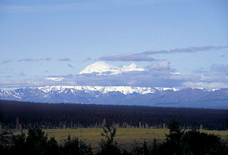
Denali (Mt. McKinley) 20,306' from Denali Highway
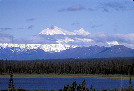
Denali (Mt. McKinley) 20,306' from Denali Highway
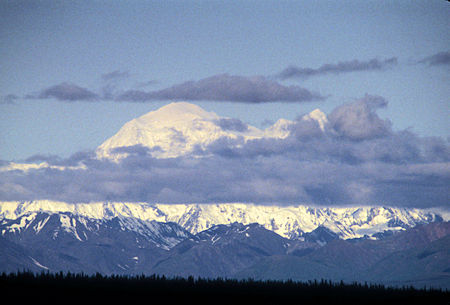
Denali (Mt. McKinley) 20,306' from Denali Highway
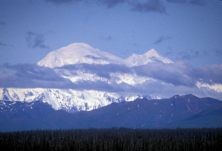
Denali (Mt. McKinley) 20,306' from Denali Highway
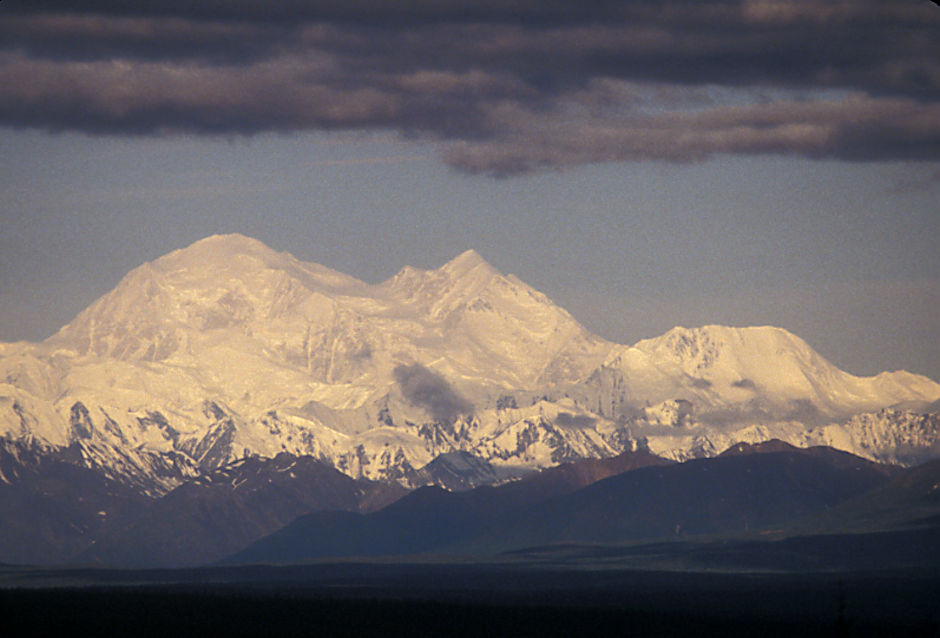
Denali (Mt. McKinley) 20,306' from Denali Highway
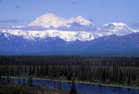
Denali (Mt. McKinley) 20,306' from Denali Highway
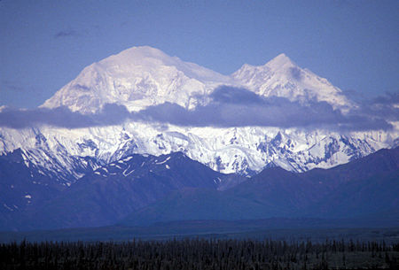
Denali (Mt. McKinley) 20,306' from Denali Highway
Actually, the weather got better and the few clouds cleared as the day progressed.
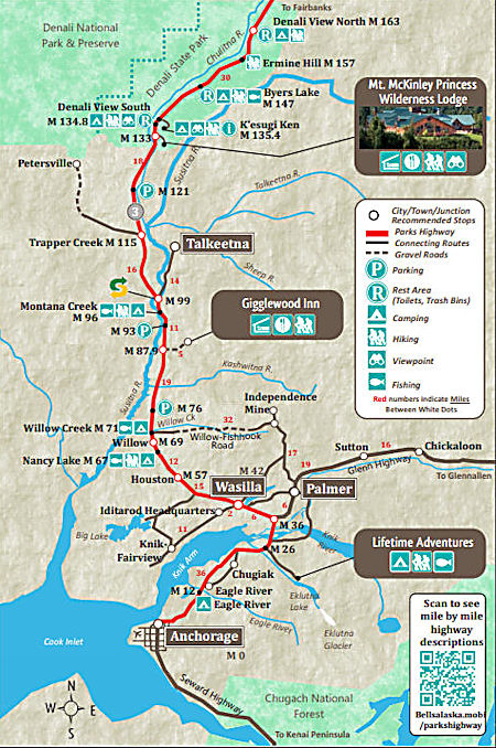
I headed south on the Parks Highway, stopping at various viewpoints to take more pictures of Denali.
Drove 75 miles south to a viewpoint I had visited the previous week. This viewpoint has a sign with a photograph of the view with each peak, etc. labeled.
The weather and views continued to be fabulous as I headed back north on the Parks Highway - stopping for pictures at various viewpoints.
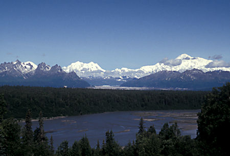
Alaska Range in Denali National Park over Chulitna River
from Mile 135 Viewpoint on Parks Highway
Tokosha Mountains is a 6,148 foot multi-peak massif in the Alaska Range, in Denali National Park. It is situated between the toes of Ruth Glacier and Tokositna Glacier, 27 miles south-southeast of Denali and 26 miles northwest of Talkeetna. Despite its relatively low elevation, it is notable for its Teton-esque granite spires seen from the Parks Highway.
In the Dena'ina language, tokosha means "treeless" or "treeless area". The mountain was named in 1906 by explorer Belmore Browne of the Cook Expedition which attempted to climb Denali. The first ascent of Grand Tokosha was made on March 3, 1975 by David Johnston and Brian Okonek.
Mount Foraker is a 17,400-foot mountain in the central Alaska Range, in Denali National Park, 14 mi southwest of Denali. It is the second highest peak in the Alaska Range, and the third highest peak in the United States. It rises almost directly above the standard base camp for Denali, on a fork of the Kahiltna Glacier also near Mount Hunter.
Its north peak was first climbed on August 6, 1934, and its higher south peak was climbed four days later on August 10, by Charles Houston, T. Graham Brown, and Chychele Waterston, via the west ridge.
Mount Foraker was named in 1899 by Lt. J. S. Herron after Joseph B. Foraker, then a sitting U.S. Senator from Ohio.
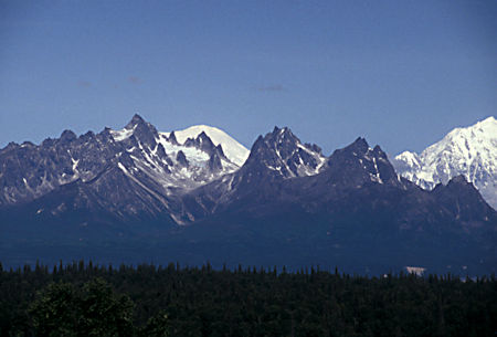
Grand Tokosha 5950', Cats Ear Sphire, Sultana (Mount Foraker) 17,400' 45 miles away
Peak 5705' (right), from Mile 135 Viewpoint on Parks Highway
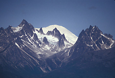
Grand Tokosha 5950', Cats Ear Sphire, Sultana (Mount Foraker) 17,400' 45 miles away
Peak 5705' (right), Mile 135 Viewpoint on Parks Highway
Mount Hunter or Begguya, in Denali National Park, is approximately eight miles south of Denali, the highest peak in North America. "Begguya" means child in the Dena'ina language. Mount Hunter is the third-highest major peak in the Alaska Range.
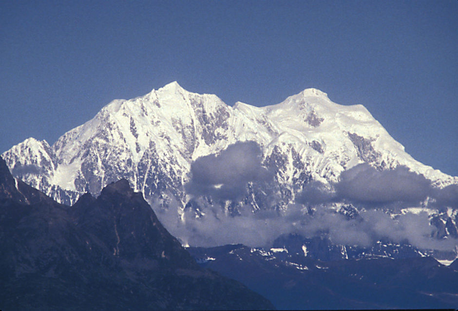
Begguya (Mt. Hunter) South Peak 13,966', North Peak 14,570' from Mile 135 viewpoint on Parks Highway
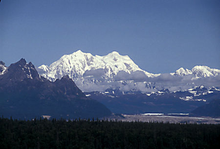
Begguya (Mt. Hunter) South Peak 13,966', North Peak 14,570'
from Mile 135 viewpoint on Parks Highway
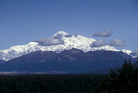
Mount Huntington 12,240', 33 miles, from Mile 135 viewpoint on Parks Highway
Mount Huntington is a striking rock and ice pyramid in the central Alaska Range, about 8 miles south-southeast of Denali. It is also about 6 miles east of Mount Hunter, and two miles west of The Rooster Comb. While overshadowed in absolute elevation by Denali, Huntington is a steeper peak: in almost every direction, faces drop over 5,000 feet in about a mile. Even its easiest route presents significantly more technical challenge than the standard route on Denali, and it is a favorite peak for high-standard technical climbers.
Mount Huntington was first climbed in 1964 by a French expedition led by famed alpinist Lionel Terray, via the Northwest Ridge, from then on also called the French Ridge. The second ascent the following year, via the West Face/West Rib, is reported by David Roberts in The Mountain of My Fear. The mountain can be accessed either from the West Fork of the Ruth Glacier, on the north side of the mountain, or the Tokositna Glacier, on the south side
.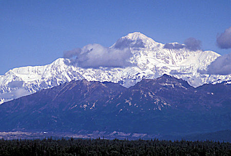
Mount Huntington 12,240', 33 miles, from Mile 135 viewpoint on Parks Highway
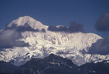
Mount Huntington 12,240', 33 miles, from Mile 135 viewpoint on Parks Highway
Denali (also known as Mount McKinley, its former official name) is the highest mountain peak in North America, with a summit elevation of 20,310 feet above sea level. Located in the Alaska Range in the interior of the state of Alaska, Denali is the centerpiece of Denali National Park and Preserve.
The Koyukon people who inhabit the area around the mountain have referred to the peak as "Denali" for centuries. In 1896, a gold prospector named it "Mount McKinley" in support of then presidential candidate William McKinley; that name was the official name recognized by the Federal government of the United States from 1917 until 2015. In August 2015, following the 1975 lead of the State of Alaska, the United States Department of the Interior announced the change of the official name of the mountain to Denali.
In 1903, James Wickersham recorded the first attempt at climbing Denali, which was unsuccessful. In 1906, Frederick Cook claimed the first ascent, but this ascent is unverified and its legitimacy questioned. The first verifiable ascent to Denali's summit was achieved on June 7, 1913, by climbers Hudson Stuck, Harry Karstens, Walter Harper, and Robert Tatum, who went by the South Summit. In 1951, Bradford Washburn pioneered the West Buttress route, considered to be the safest and easiest route, and therefore the most popular currently in use.
On September 2, 2015, the U.S. Geological Survey announced that the mountain is 20,310 feet high, not 20,320 feet, as measured in 1952 using photogrammetry.
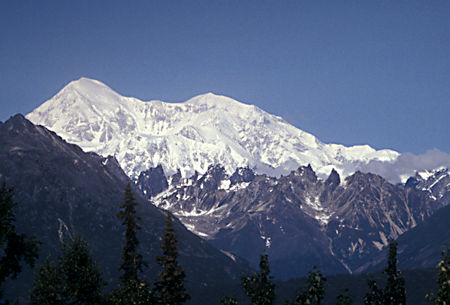
Denali 12,310', 41.7 miles, from Mile 135 viewpoint on Parks Highway
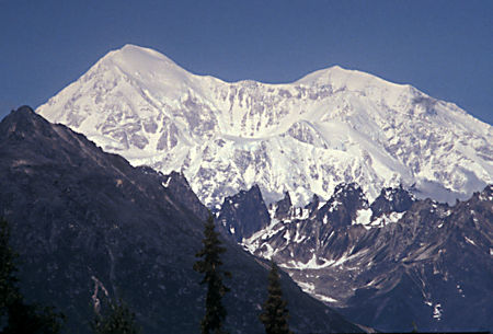
Denali 12,310', 41.7 miles, from Mile 135 viewpoint on Parks Highway
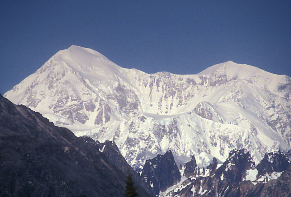
Denali 12,310', 41.7 miles, from Mile 135 viewpoint on Parks Highway
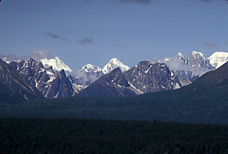
Alaska Range from Mile 158 viewpoint on Parks Highway
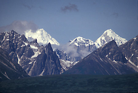
Alaska Range from Mile 158 viewpoint on Parks Highway
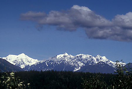
Alaska Range from Mile 158 viewpoint on Parks Highway
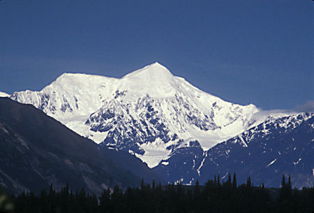
Alaska Range from Mile 158 viewpoint on Parks Highway
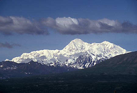
Denali (Mt. McKinley) 20,306' from the Parks Highway
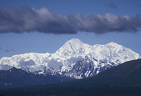
Denali (Mt. McKinley) 20,306' from the Parks Highway
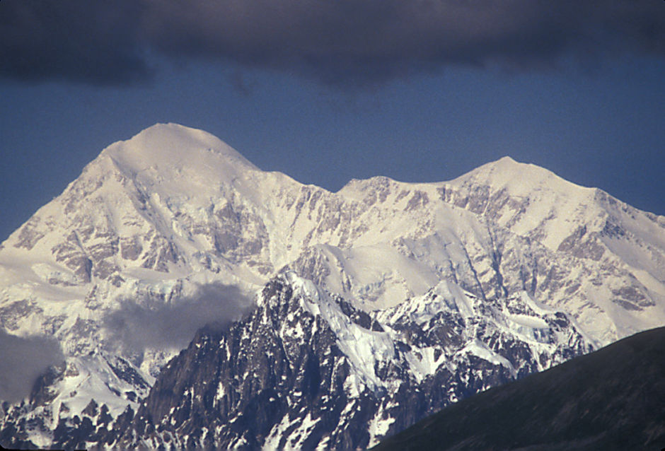
Denali (Mt. McKinley) 20,306' from the Parks Highway
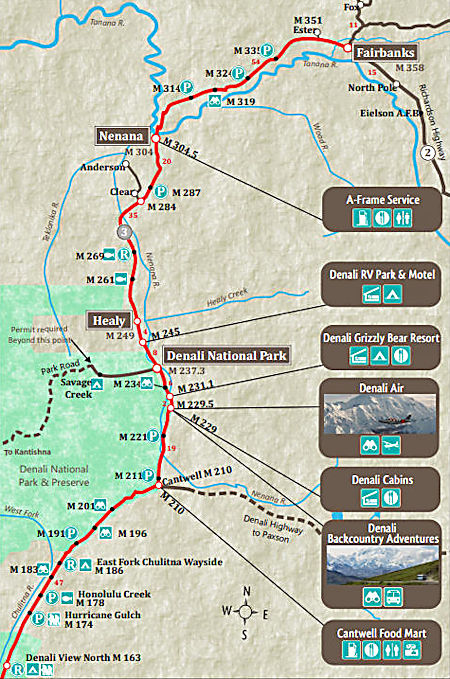
I continued past the Denali Highway junction on to Denali National Park in the hopes of getting pictures from a viewpoint in the Park. It had clouded up by the time I got there but this was a SUPER PHOTO DAY!
Stopped at the Park Visitor Center - now the Wilderness Access Center to get reservations for a Park Campground and a Park Shuttle Bus ride to see wildlife. (NOTE: A new Park Visitor Center was built in 2005)
For walk-ins like me, they can only reserve two days in advance - walk-in on Thursday and they can only reserve for Friday and Saturday. The Shuttle Bus was fully reserved for Friday and Saturday so I just got a Campground reservation for Saturday and Sunday night. Friday I could come back and get a Shuttle Bus reservation for Sunday.
During my travels on the Parks Highway I discovered a new use for toilet paper. The Alaska Highway Department crews, when sealing cracks in the highway, put single ply toilet paper over the tar. When you first see this you think some idiot has dumped toilet paper all over the highway.
Turns out, the toilet paper keeps the tar from sticking to peoples tires and getting pulled out of the cracks. Also the tar will stick to tires and not come off until it wears off - clump, clump, clump goes the tire. Have to use single ply toilet paper or the second ply comes loose and blows into the trees.
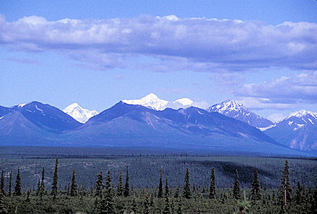
Drove back east 30 miles on the Denali Highway with beautiful views of Mt. Deborah and Mt. Hess in the Alaska Range to the Brushkana Creek BLM campground for the night.
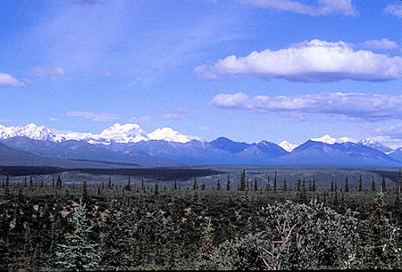
Alaska Range east from Denali Highway
Alaska Range east from Denali Highway
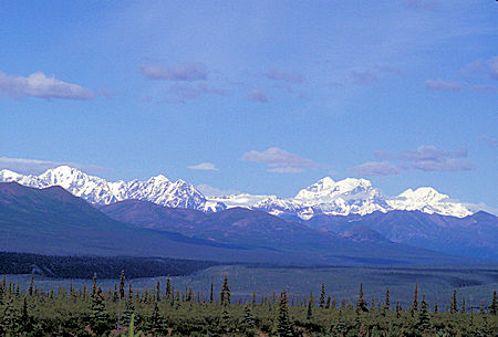
Alaska Range east from Denali Highway - Mt. Deborah and Mt. Hess
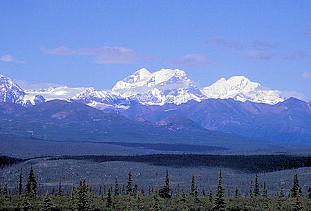
Alaska Range east from Denali Highway - Mt. Deborah and Mt. Hess
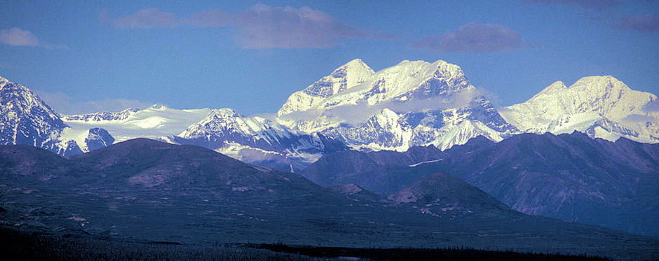
Alaska Range east from Denali Highway - Mt. Deborah and Mt. Hess
Friday, July 31, 1998
Got an early start from the campground and drove back to the Denali National Park Visitor Center and got my Sunday Shuttle Bus reservation.
Another beautiful day so I drove out to the Denali viewpoint in the Park (on the part of the Park road that is open to the public) and got pictures of the mountain with clouds. (Got better pictures on the next day.)
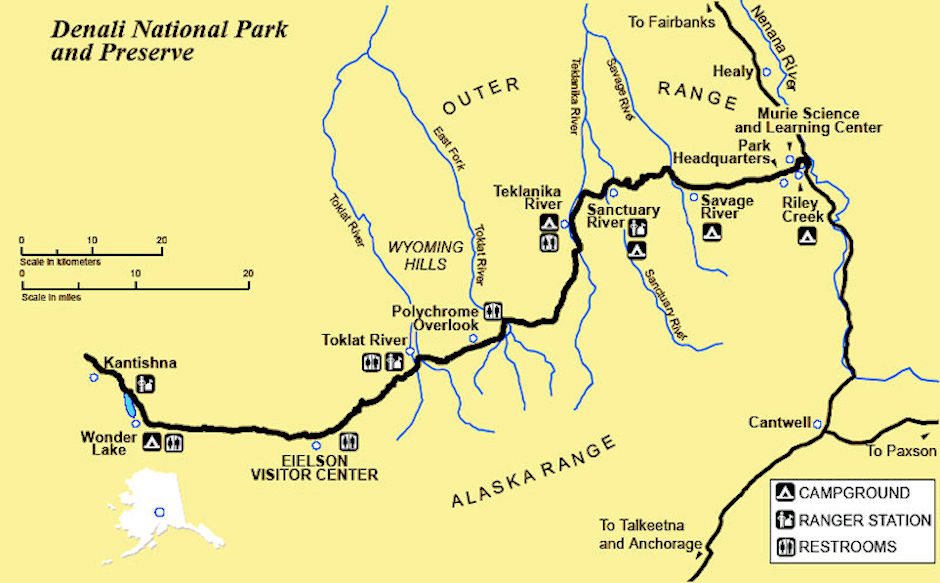
Only the first 14.8 miles of the 92 mile long Park road is open to the public. Beyond that point (Savage River) only shuttle and tour buses and people with special permits can drive.
On the way back, stopped at the Sled Dog Kennels next to Park Headquarters and got in on the tail end of a demonstration they give of "mushing". The sled dogs (about 30) are used by the Rangers for backcountry patrols during the winter. Most of the dogs can be approached and petted by visitors. They are most friendly.
Back on the Parks Highway headed south, I stopped to see a Moose busily eating in a pond near the road.
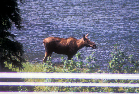
Moose alongside Parks Highway
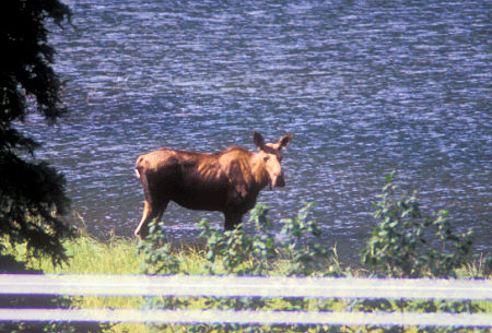
Moose alongside Parks Highway
Took some more scenery pictures along the Denali Highway and returned to the Brushkana Creek BLM campground early in the afternoon.
This campground was only $3.00 a night (with my Golden Age Pass) and was the closest to the Park other than the commercial, less attractive (to me) campgrounds.
Along the Denali Highway and other places I could have also just parked free for the night, but it's nice to have an outhouse and table.
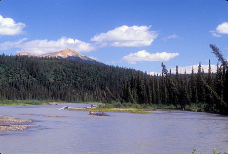
Nenana River from Denali Highway
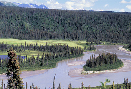
Nenana River from Denali Highway
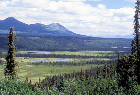
Nenana River from Denali Highway
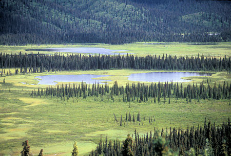
Nenana River from Denali Highway
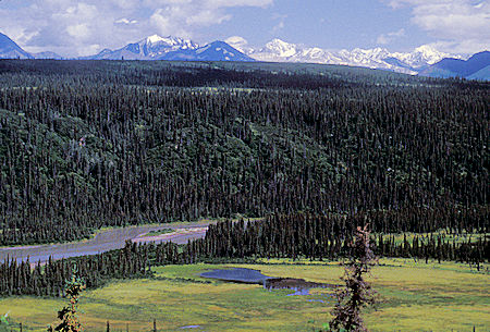
Nenana River and Alaska Range from Denali Highway
Saturday, August 1, 1998
Awoke to another SUNNY day - third in a row - FABULOUS. Returned west on the Denali Highway with fine views of Denali to the Parks Highway and on to the Riley Creek Park campground .
Drove back out to the Denali viewpoint on the Park road and this time the mountain view was perfect - more pictures.
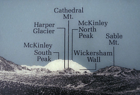
Peak label sign at viewpoint on Denali Park road
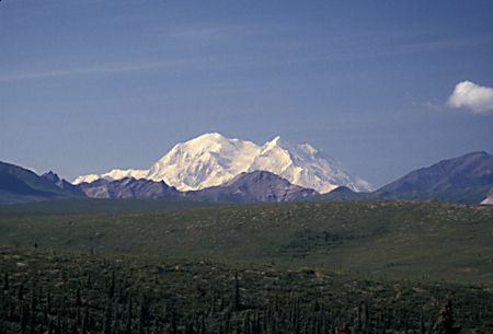
Denali (Mt. McKinley) 20,306' from viewpoint on Denali Park road
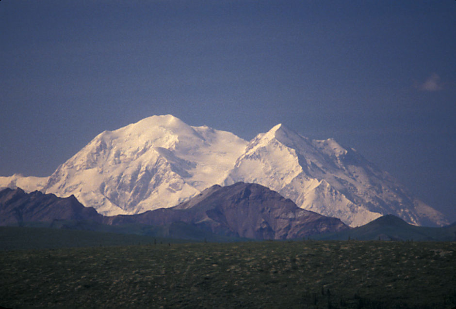
Denali (Mt. McKinley) 20,306' from viewpoint on Denali Park road
Then stopped at the Dog Sled Kennels again and saw the complete demonstration.
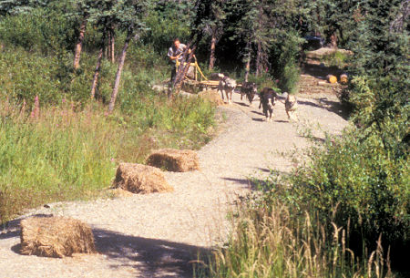
Sled dogs at kennels, Denali National Park
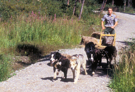
Sled dogs at kennels, Denali National Park
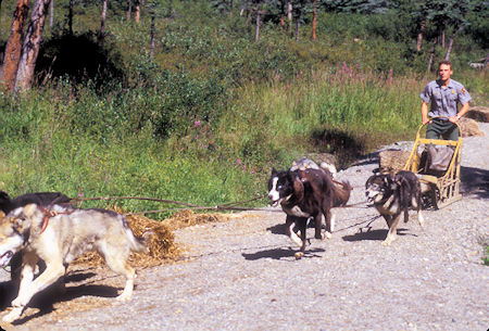
Sled dogs at kennels, Denali National Park
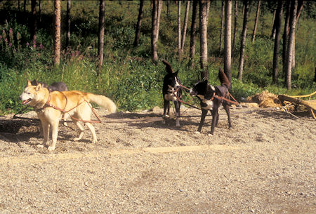
Sled dogs at kennels, Denali National Park
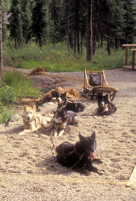
Sled dogs at kennels, Denali National Park
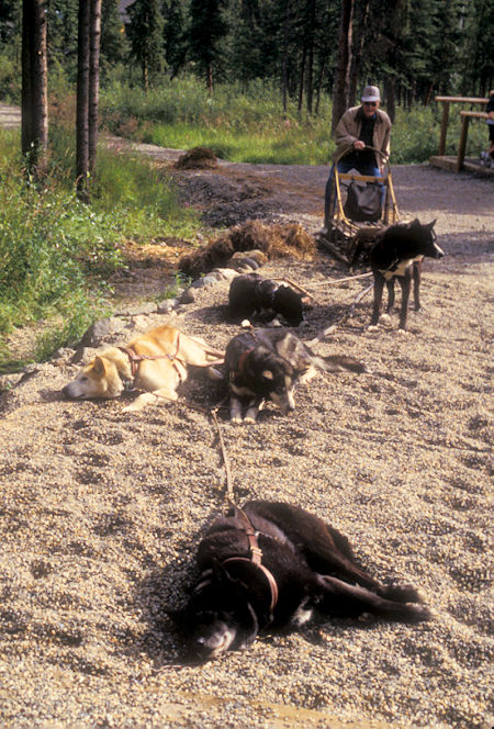
Sled dogs at kennels, Denali National Park
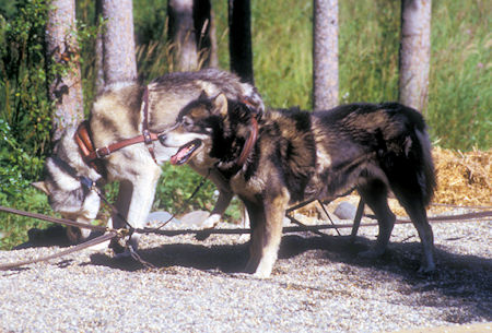
Sled dogs at kennels, Denali National Park
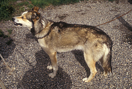
Sled dogs at kennels, Denali National Park
Spent the rest of the day dinking around and went to bed early to be sure I would wake up in time to catch the 7 a.m. Shuttle Bus to Wonder Lake.
Sunday, August 2, 1998
Although rain had been forecast, the day started out clear and stayed that way until late afternoon. Fourth day in a row of fabulous sunshine on the mountains.
Boarded the Shuttle Bus at 7 a.m. This bus would take us all the way to Wonder Lake - about 85 miles one-way and an eleven hour round trip.
We had a super bus driver - very good at explaining points of history, etc. - a humorous individual.
Although the Shuttle Bus trips are NOT tours, most of the passengers are on there to see the scenery and wildlife, so the driver has a microphone and provides information along the way.
This was our driver's fourteenth year in the Park (drives school bus in the winter). I think we lucked out because he has been around long enough to collect a lot of interesting tidbits and he enjoyed relating it.
We had a very good wildlife day - driver said that typically on this trip two or three grizzly bears would be seen - we saw EIGHT grizzly bears (a sow and one cub, a sow and two cubs, and three individuals).
We saw seven or so Caribou - one with a BIG rack who came marching down the road toward us before turning off. In the high bushes all we could see was the top foot of his rack moving along like a shark fin in the sea.
We saw an Eagle nest on a cliff side near the road - a new nest this year.
We saw three Moose, one was out in a pond with only his back showing above water - looked like a log when it had its head under water eating. The third one was in the trees next to the road shortly before we got back to the Visitor Center - a big bull with a GIANT rack - and we were able to get pictures.
Didn't see any Dall Sheep.
Wonder Lake isn't anything special but we had lots of super scenery along the way. Well worth the eleven hour ride.
One interesting item was the Muldrow Glacier that comes down from Mount McKinley. The lower end which is out in a fairly flat valley has accumulated enough rock and soil on top that it has green plants growing on it. Looks like bumpy hills but is actually plant covered ice. There are several miles of this.
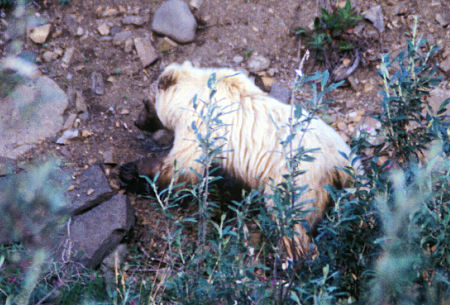
Grizzly Bear along Park Road
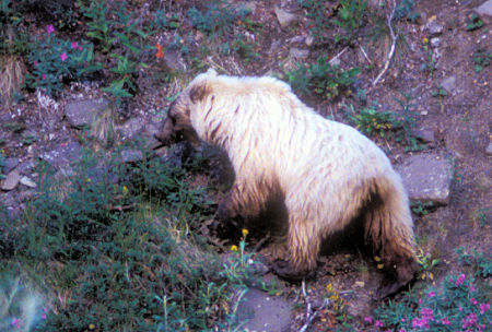
Grizzly Bear along Park Road
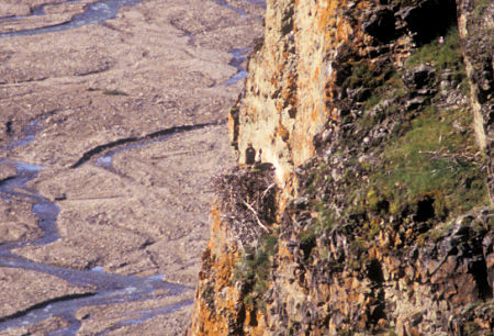
Eagle's Nest along Park Road
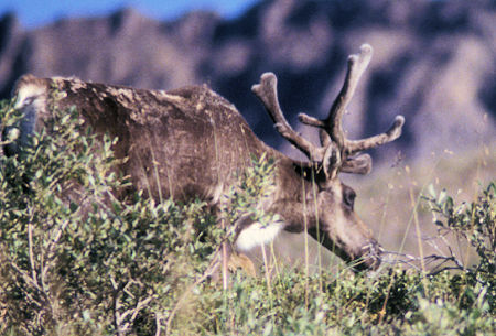
Caribou along Park Road
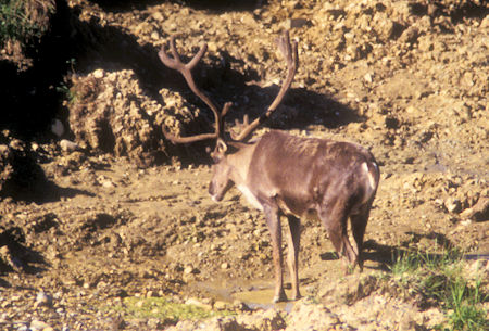
Caribou along Park Road
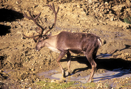
Caribou along Park Road
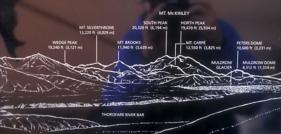
Sign identifying peaks from Park Road
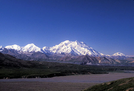
Denali (Mt. McKinley) from Park Road
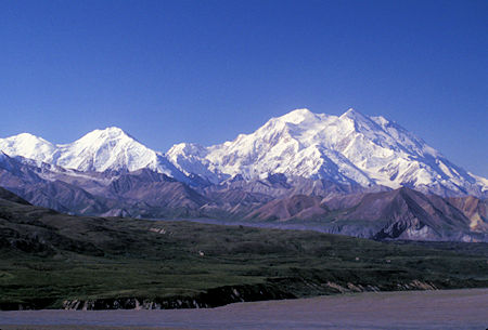
Denali (Mt. McKinley) from Park Road
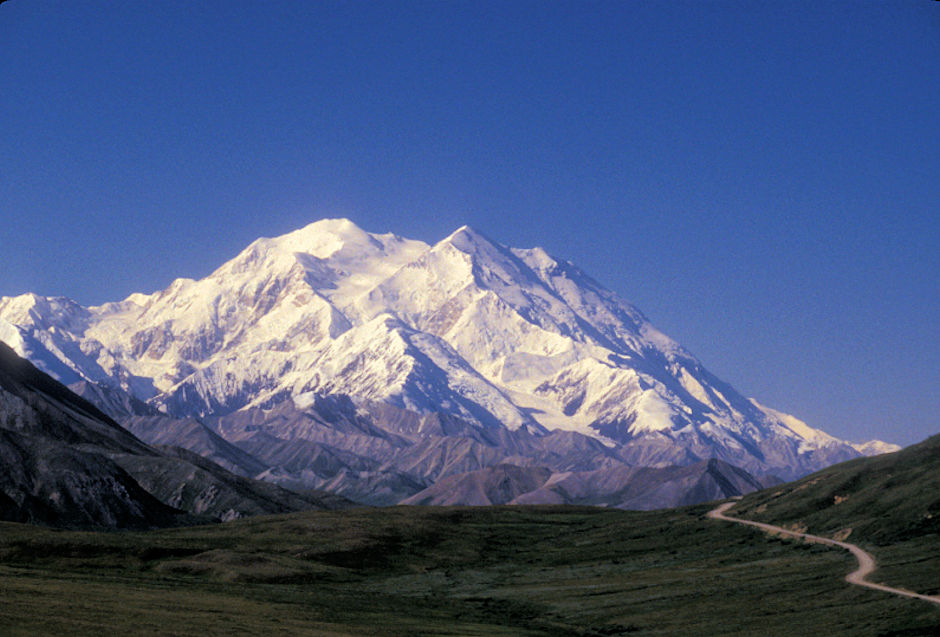
Denali (Mt. McKinley) from Park Road
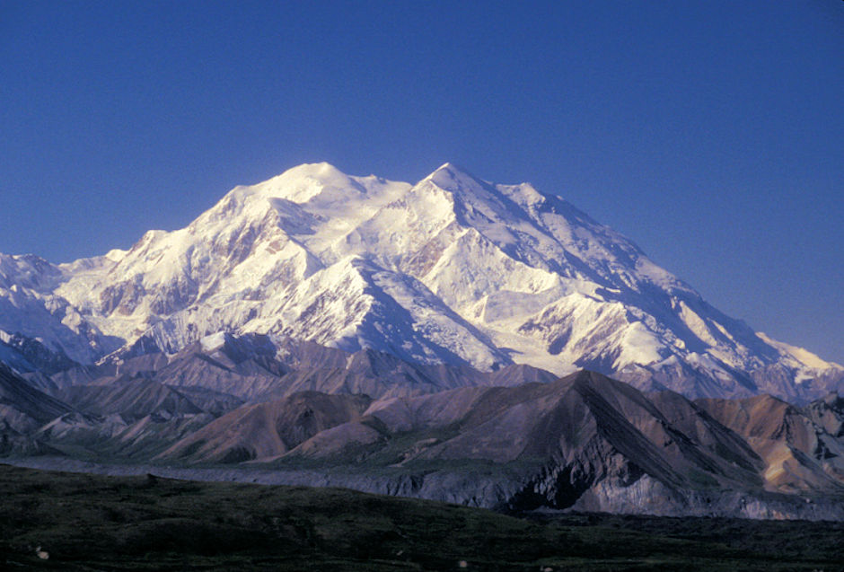
Denali (Mt. McKinley) from Park Road
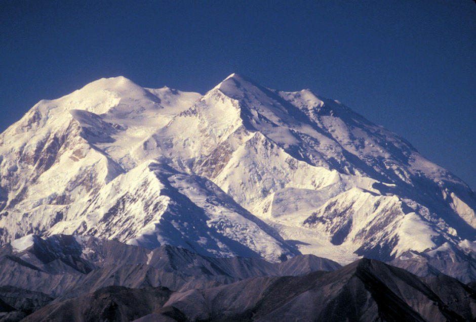
Denali (Mt. McKinley) from near Wonder Lake
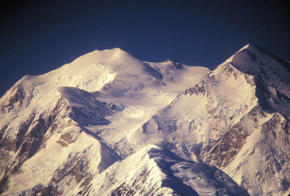
Denali (Mt. McKinley) summit from near Wonder Lake
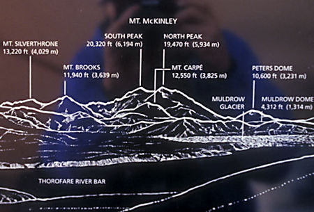
Sign identifying peaks from Park Road
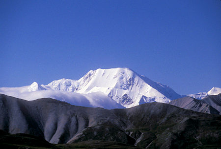
Mt. Silverthorne 13,220', Denali National Park
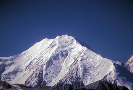
Mt. Brooks 11,940', Denali National Park
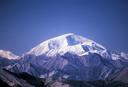
Peter's Dome 10,600', Denali National Park
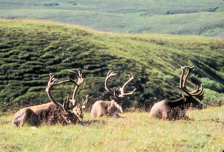
Caribou at Eielson Visitor Center on Wonder Lake road
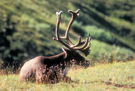
Caribou at Eielson Visitor Center on Wonder Lake road
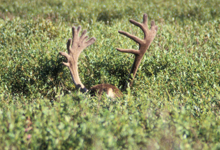
Caribou along Wonder Lake road
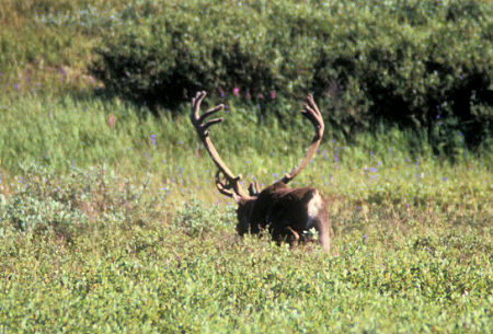
Caribou along Wonder Lake road
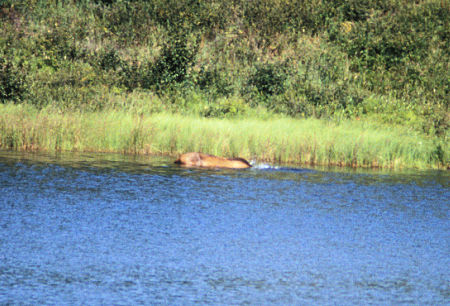
Moose along Wonder Lake road
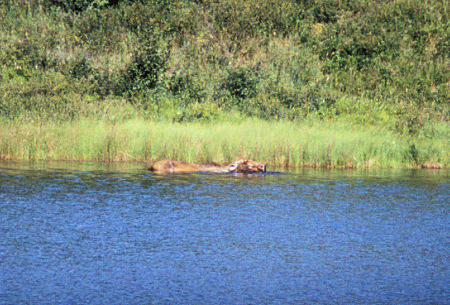
Moose along Wonder Lake road
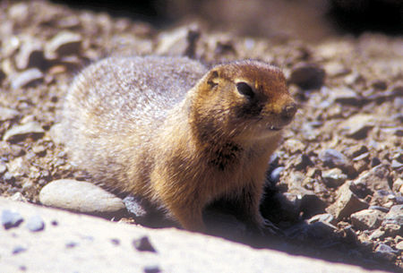
Marmot along Wonder Lake road
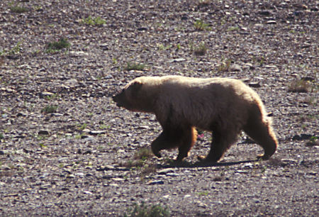
Grizzly Bear along Wonder Lake road
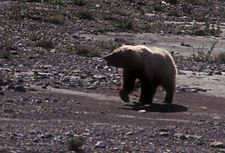
Grizzly Bear onalong Wonder Lake road
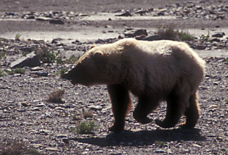
Grizzly Bear along Wonder Lake road
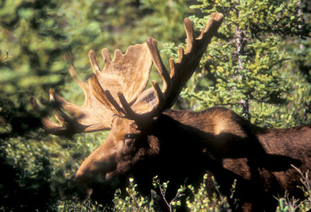
Large Moose near main Visitor Center
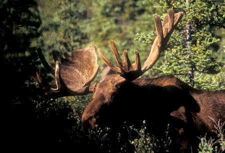
Large Moose near main Visitor Center
Spent my second night at the Riley Creek Park campground .


