Thursday, August 6, 1998
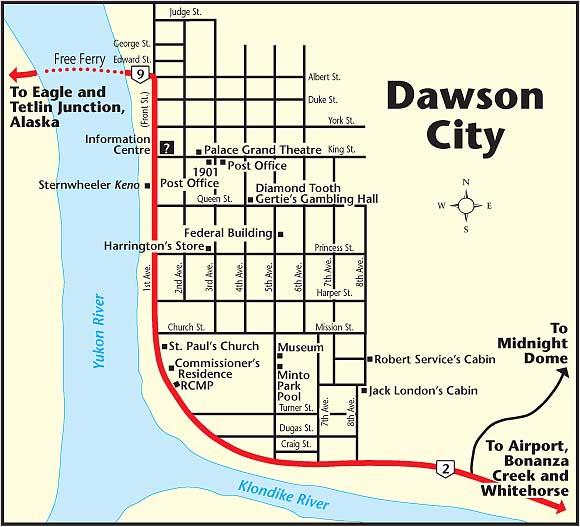
Drove out to the Discovery Claim where gold was discovered that started the Klondike Gold Rush . Most of the area is still covered by active mining claims - now using bulldozers and scoop shovels to process the ore.
Near by is a claim that is open to the public for panning - a person can stay only three days.
The steam bottoms have been processed by hand and by dredges multiple times over the years.
There is also gold on "benches" up on the hillsides where a river bottom existed prior to the last ice age (or something like that), anyway historically they also used water cannon to wash the hillsides down (like was done in northern California) and now use bulldozers.
Parks Canada has acquired numerous things related to the gold rush and are refurbishing them and offering tours. I visited Gold Dredge #4, the largest wooden dredge in North America. There once was two of them, built and operated by the same company.
Restoration of the dredge started in 1991 and they offer tours now. It operated from 1913 to 1958, was refurbished several times along the way, was all electric powered using power brought in via pole lines from a power plant in the area.
The newer/larger dredges like this one got to the bottom of the gravel and even a few feet into the bed rock - very profitable operation.
It is a Canadian National Historical Site.
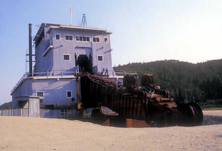 \
\Dredge #4 ore buckets, near Dawson City, Yukon Territory
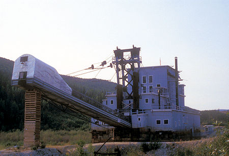
Dredge #4 waste conveyor, near Dawson City, Yukon Territory
Click for more Gold Drege #4
I then headed into Dawson City.
Visited the Robert Service Cabin (Parks Canada). They have readings twice a day of his works at the Robert Service Cabin. More about Robert Service here and the relocated Jack London Cabin (private).
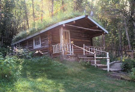
Robert Service Cabin, Dawson City, Yukon Territory
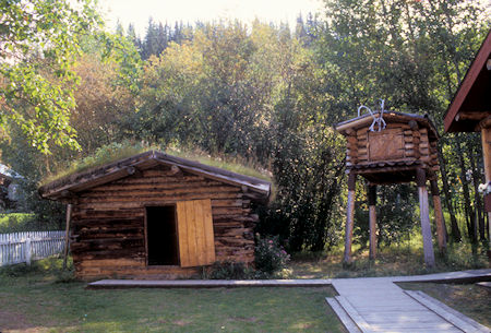
Jack London Cabin, Dawson City, Yukon Territory
Walked around town visiting various historical buildings and museums starting with the Volunteer Fire Department Museum (nice but small).
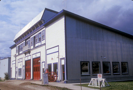
Dawson City Fire Department
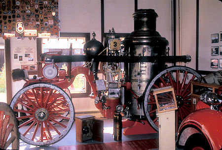
Dawson City Fire Department Museum
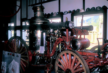
Dawson City Fire Department Museum
Then St. Mary Catholic Church built by Father William Henry Judge, this church has served Dawson City since it's earliest days in 1896. Father Judge also built a hospital in Dawson City. This is the second St. Mary's Church. The first one burnt to the ground in June 1898.
Father Judge worked tirelessly to look after the community's spiritual needs as well as tending to the sick and dying in the hospital. Exhaustion drove him to his bed, where he died of pneumonia on January 16, 1899. Father Judge is known as the Saint of Dawson.
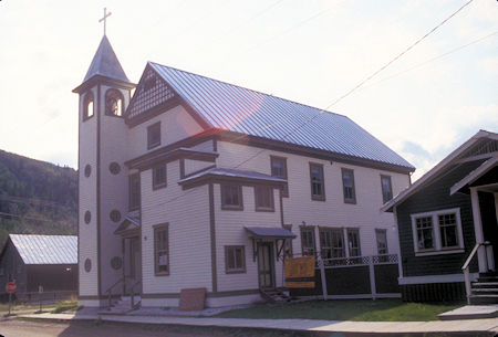
St. Mary Catholic Church 1904, Dawson City, Yukon Territory
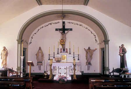
St. Mary Catholic Church 1904, Dawson City, Yukon Territory
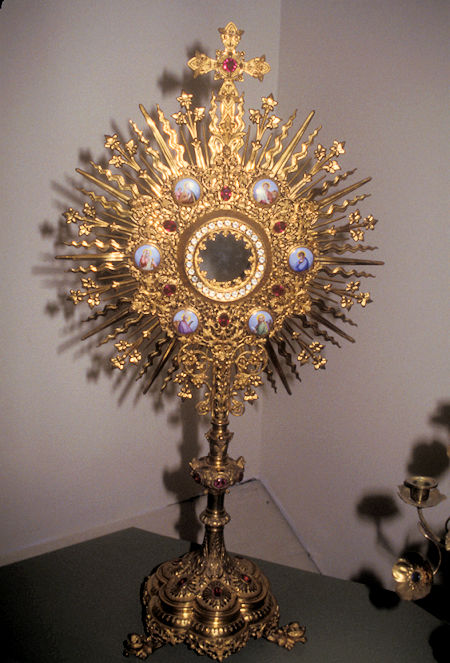
St. Mary Catholic Church 1904, Dawson City, Yukon Territory
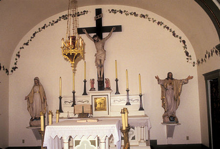
St. Mary Catholic Church 1904, Dawson City, Yukon Territory
I then took the Parks Canada tour of the Commissioners House (same as governor).
Only the downstairs has been restored - it was interesting but not as fancy as places like the Daly and Conrad Mansions I've seen previously.
During the gold rush, Dawson City (and other towns) were basically "American" towns in Canada - most miners were Americans.
The Canadian government was concerned about this - not wanting any moves to get started to annex the areas to Alaska - so they built five or six major buildings and installed Mounties and other government functions to assert a Canadian presence.
It also kept Dawson from becoming a rowdy, drunken wide open town like many in the American gold rush.
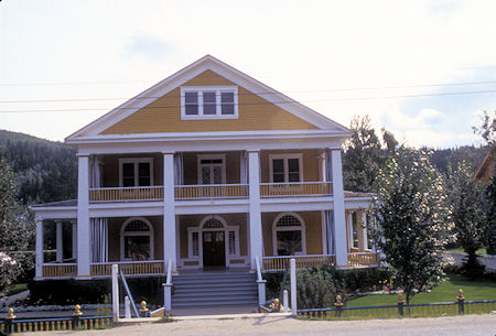
Commissioner Residence 1901, Dawson City, Yukon Territory
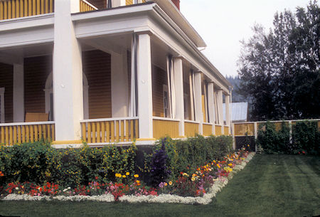
Commissioner Residence 1901, Dawson City, Yukon Territory
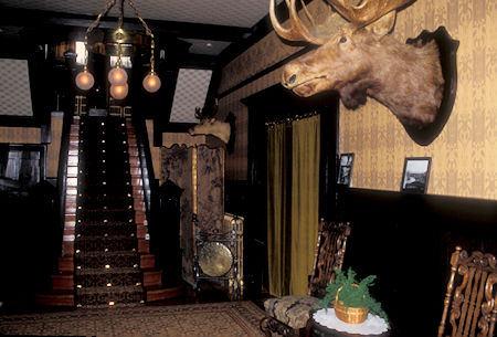
Commissioner Residence 1901, Dawson City, Yukon Territory
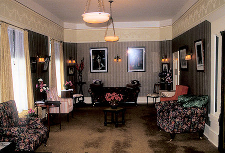
Commissioner Residence 1901, Dawson City, Yukon Territory
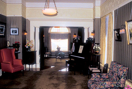
Commissioner Residence 1901, Dawson City, Yukon Territory
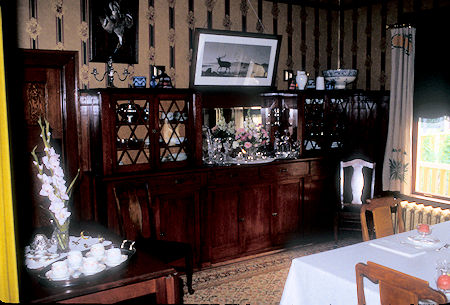
Commissioner Residence 1901, Dawson City, Yukon Territory
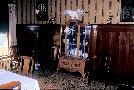
Commissioner Residence 1901, Dawson City, Yukon Territory
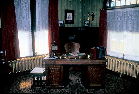
Commissioner Residence 1901, Dawson City, Yukon Territory
Next I took a picture of St. Paul's Anglican Church. St. Paul's Anglican Church is a historic Carpenter Gothic style Anglican church building built of wood in 1902. It once served as the cathedral of the Anglican Diocese of Yukon until the diocese was moved to Whitehorse in 1953.
Its steep pitched roof, its pointed arch entry through its belfry tower and its lancet windows are typical of Carpenter Gothic churches. St. Paul's was designated a National Historic Site of Canada on June 1, 1989.
I visited the 'original' Post Office at King Street and Third Avenue in Dawson Historical Complex National Historic Site - very interesting - still has the original interior.
The two-storey Post Office, also known as the Former Post Office, is a substantial wooden building, which stands out at the corner of King Street and Third Avenue in the Dawson Historical Complex National Historic Site of Canada.
It is a prominent local landmark, distinguished by its three-storey octagonal corner entrance tower. Its regularly spaced windows and pedimented doorway, as well as the detailing of its decorative wood trim, reflect a classical source for its design. The walls are clad in horizontal wood siding.
The Post Office is an important example of the work of Thomas W. Fuller prior to his becoming Chief Architect of the Department of Public Works. The building is an excellent example of a pre-First World War post office executed in wood, and it is unique in Canada in that, although built in wood, it is clearly a federal building and carries many of the features of the more substantial masonry federal buildings in southern communities.
It is an example of the adaptation of design to local construction conditions, materials and skills available in an area where masonry construction was impractical but the design requirements were similar.
The Post Office was built in 1900 to designs by Thomas W. Fuller. It served as the city post office until 1923 after which it had a variety of owners until 1970, when it was re-purchased by the federal government. The Post Office was designated of national significance by the Historic Sites and Monuments Board of Canada in 1967.
In 1974, the building was stabilized and repaired by Parks Canada and opened to the public as a part of Klondike National Historic Sites. Environment Canada is custodian of the building.
History of Postal Service in Dawson City
Unofficial postal service began in Dawson City in 1896. The first post office consisted of a canvas wall tent on Front Street, from which members of the North West Mounted Police (NWMP) distributed mail.
In 1897 the Canadian government asked Frank Harper to assume the role of postmaster, with the NWMP acting as his staff. At this time, the post office moved to Fort Herchmer in the Government Reserve.
The volume of mail increased dramatically in 1898 as the bulk of the Klondike stampeders reached Dawson City. The government acquired a saloon owned by James Terry to compliment the Fort Herchmer facilities.
The post office relocated again during the summer of 1898, this time to one of Alex McDonald’s buildings on Front Street. This building was destroyed by fire on October 14th, 1898. Around the same time, a new government appointed postmaster, Isaac J. Hartman, arrived in Dawson to improve the postal service.
The government then leased the Brewery Saloon before finally committing federal funding toward the design and construction of an official post office in 1899. Government architect, Thomas W. Fuller, designed the building for the corner of Third Avenue and King Street. It opened in November 1900.
In the late 19th and early 20th centuries, mail was delivered to and from Dawson by canoes and steamers in the summer, and by dog teams during the winter. The NWMP was responsible for winter mail freighting until 1899 when the government contracted-out mail delivery to private express companies.
Following the completion of the Overland Trail in 1902 stage coaches succeeded dog teams as the primary means of transporting mail between Dawson City and Whitehorse. Over the next decades, trucks and caterpillar tractors in-turn replaced horse transportation, and the last Royal Mail stage ran in 1921. Private airmail carriers operated between Whitehorse and Dawson as early as 1927, but there was no official government airmail until 1937.
Postal services in Dawson City were conducted in the post office on Third and King Street until 1924. At that time the post office moved to the Old Territorial Administration Building on Fifth Avenue. In about 1960 the post office relocated to a new federal building on Fifth Avenue near Queen Street, where it remained until a new post office opened on Third Avenue in January 2002.
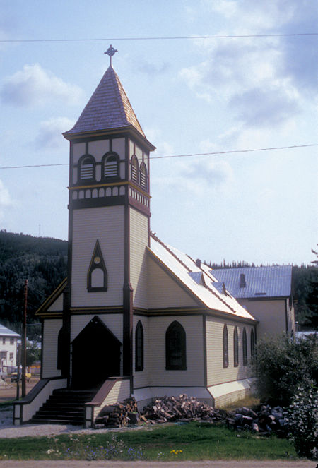
St. Paul's Anglican Church 1902, Dawson City, Yukon Territory
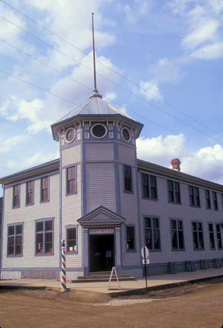
Original Post Office, Dawson City, Yukon Territory
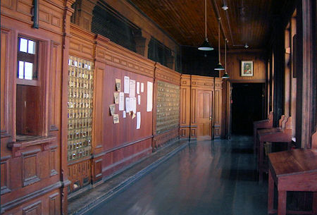
Original Post Office, Dawson City, Yukon Territory
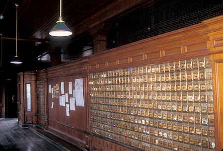
Original Post Office, Dawson City, Yukon Territory
Took the Palace Grand Theatre tour (Parks Canada). Had a very nice guide who put on a grand performance.
The Palace Grand Theatre opened in gala style July 1899. The theatre was a combination of a luxurious European opera house and a boomtown dance hall. It was built by "Arizona Charlie Meadows", a wild west showman who came to Dawson City during the Klondike Gold Rush.
The Palace Grand played host to a variety of entertainment, from wild west shows to opera. When the show got slow "Arizona" himself would get on stage and perform shooting tricks for the audience.
The guy who built it was a real promoter and built a very nice theatre. He made his money by "mining the miners" - he had all sorts of ways of getting the miners to part with their gold.
The building was also a dance hall and he gave the girls all sorts of incentives and tricks to use to get even more of the miners gold. Very interesting.
Came out of the Theatre to find the air heavy with smoke from a forest fire that was many miles away.
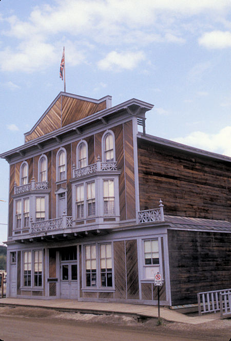
Palace Grand Theatre, Dawson City, Yukon Territory
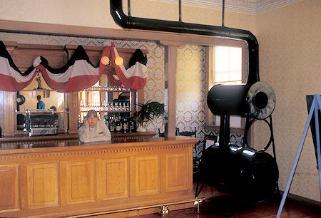
Bar in Palace Grand Theatre, Dawson City, Yukon Territory
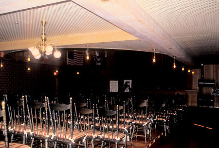
Auditorium seating in Palace Grand Theatre, Dawson City, Yukon Territory
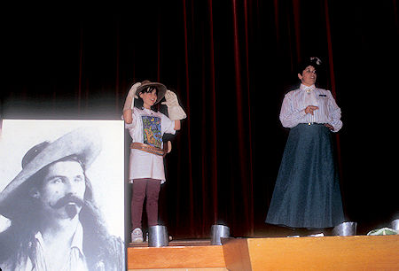
Stage in Palace Grand Theatre, Dawson City, Yukon Territory
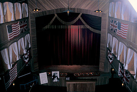
Stage in Palace Grand Theatre, Dawson City, Yukon Territory
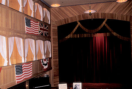
Stage in Palace Grand Theatre, Dawson City, Yukon Territory
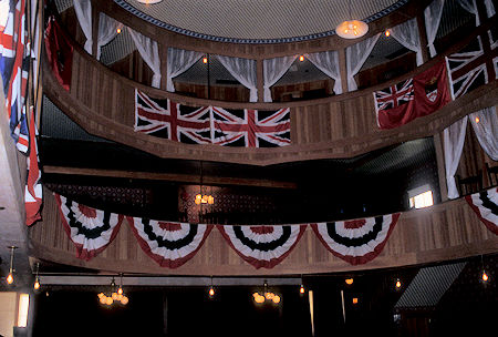
Mezzanine in Palace Grand Theatre, Dawson City, Yukon Territory
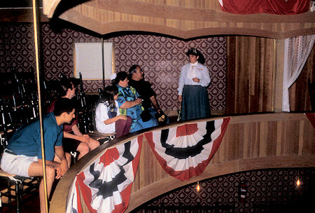
Mezzanine with tour group in Palace Grand Theatre, Dawson City, Yukon Territory
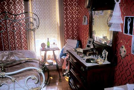
Klondike Kate's room in Palace Grand Theatre, Dawson City, Yukon Territory
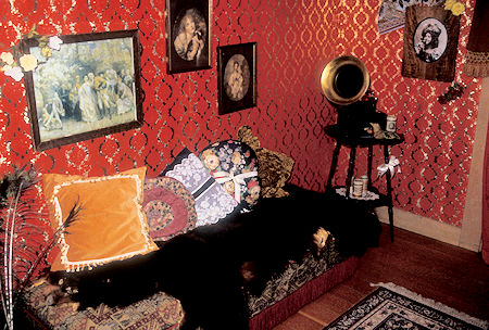
Klondike Kate's sitting room in Palace Grand Theatre, Dawson City, Yukon Territory
Headed back to Klondike River Yukon campground for the night.
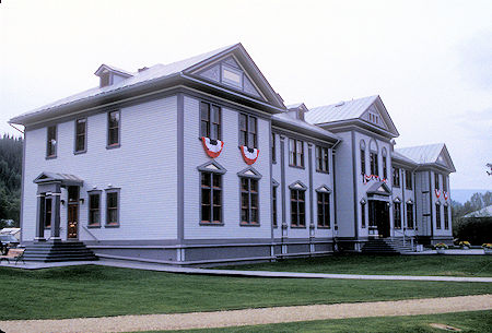
Dawson City Museum, Dawson City, Yukon Territory
Friday, August 7, 1998
Drove back into Dawson City to see some more of the sights. Walked around town checking out numerous historical buildings - none of which were fixed up for interior viewing.
It is an interesting town and should be more interesting as Parks Canada gets its restoration work done, etc.
Visited the Dawson City Museum which is in a large building that once housed the Yukon Territorial Government when Dawson City was the capital (before the capital was moved to Whitehorse).
The building has seen many uses over the years. The local court chambers are still used as such on the second floor, but most of the building is used by the museum.
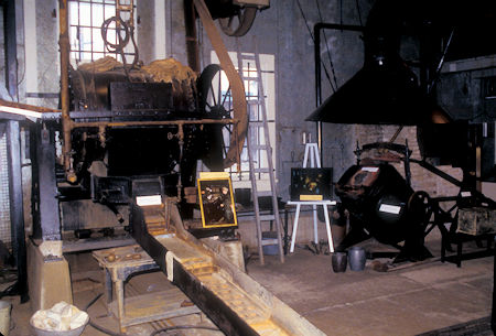
Gold recovery facilities at Bear Creek Gold Camp
near Dawson City, Yukon Territory
Headed out of town to the Bear Creek Gold Camp (AKA Bear Creek Compound) for the Parks Canada tour. This was the headquarters of the mining company that operated a large number of dredges, supplied electric power, operated a "ditch" system (much of it in pipes) that provided water under high pressure for the cannons used to wash down the hillsides and for other mining.
It operated from the early 1900's until about 1966. At one time as many as 700 people worked at the camp. A large machine shop provided facilities to make and repair parts for the dredges. Toward the end, they were making parts to replace broken/worn out dredge parts originally made in the early 1900's - as long as 50 years ago.
They also had major warehouses here for supplies, stuff brought in during the summer to tide them over the winter. Much of the stuff is still here - just abandoned when they closed down.
This is also where the gold from all the dredges was brought, cleaned of fine rocks and sand that didn't get removed during the processing at the dredges, further refining to get every last ounce of gold out of the "ore" and then heated and turned into gold bars for shipment to the Canadian mint for final purification. Our guide made it all very interesting.
Click for more Bear Creek Gold Camp
Headed on down the road on a smoky late afternoon and stopped for the night at Moose Creek Yukon campground - fortunately pretty much out of the smoke.
Saturday, August 8, 1998
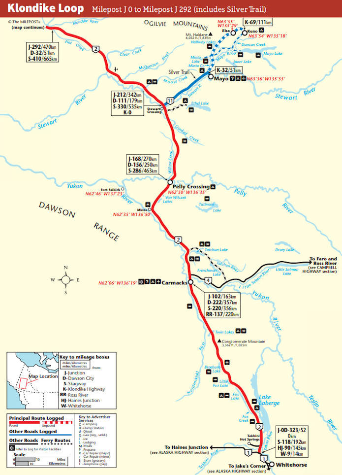
Continued south on the North Klondike Highway. Turned off at Stewart Crossing and drove out to Keno City - site of major silver mining until most mines closed in the 60's.
Two Moose crossed the road in front of me. The road is paved as far as Mayo, then very good gravel through Elsa to Keno City.
Elsa is a company town and the mine there still operates to some extent.
In Keno City I checked out the mining museum - interesting but nothing special if you've seen other mining museums.
Walked around town a little to see some of the history - nothing special.
Drove up to Keno Summit at 6066 feet, site of the first silver claim in 1919 and a fine view of the McQuesten River valley - cloudy weather sort of dimmed the views.
There is a signpost mounted here that has arrows pointing to various places around the world with distances shown.
After lunch on the summit, headed back down the road toward Mayo.
Along the way a Fox was in the road. It wasn't particularly afraid of me - would run along the road as I drove alongside - it would stop, I would stop to get a picture and it would start again. Not sure whether I got a good picture or not.
A black bear with three cute cubs crossed the road in front of me as I proceeded. Great wildlife day. The bears didn't wait for me to take pictures.
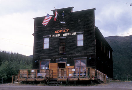
Keno City Mining Museum, Keno City, Yukon Territory
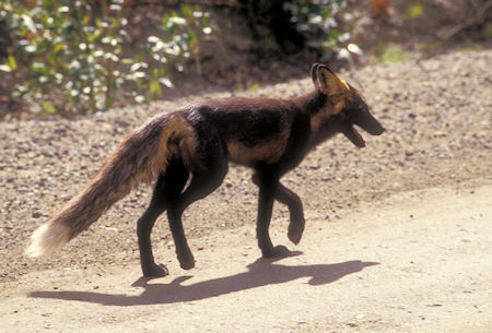
Fox along Keno City road
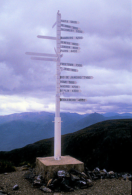
Keno Summit Signpost, Keno City, Yukon Territory
Visited the Benet House Interpretive Centre in Mayo - local history but nothing special - drove around town a little - the town is on the Stewart River and was an important river boat and transportation spot before roads were built.
Returned to the main highway and continued south. The fire that had been smoking up Dawson City was about a mile and a half from Stewart Crossing (according to an FM radio emergency advisory in the area). I could see the smoke but the fire didn't seem to be doing much and the smoke was blowing away from the highway.
I continued south through pleasant country - many of the aspen or birch trees were turning yellow as fall approaches. Nice views of the Yukon River.
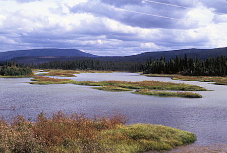
Yukon River about 25 miles north of Carmacks
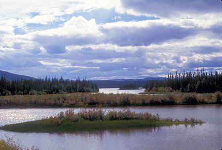
Yukon River about 25 miles north of Carmacks
Stopped at Five Finger Rapids view point where you can see five columns of basalt that stick up in the Yukon River to form the rapids. The Five Finger Rapids is mentioned in Jack London's novel The Call of the Wild.
The Five Finger islands and riverbank are composed of conglomerate rock (pebbles and boulders embedded in a sand-to-mud matrix) that is more resistant to erosion than surrounding mudstone layers.
Only one of the Five Finger channels (the one closest to the highway) was deep enough for the sternwheelers, and the current remained very strong. At low water, the boats could steam right up through it. At high water, the falls created a 1-2 foot shelf. A sternwheeler ascending the rapids could only move up over the shelf until the wheel lifted out of the water and then the vessel lost power.
A cable was attached to the rocks so sternwheelers could winch themselves up stream. It took 15-20 minutes for a power-capstan on the deck to pull the sternwheeler through the channel.
In 1903, the sternwheeler Mary F. Graff touched bottom at Five Fingers and cracked several hull frames. In 1911 there were complaints that nearly every season there was an accident caused by a steamer striking the rocks at Five Finger.
Blasting work started at Five Finger in 1900 and continued until at least 1927. Rock was removed and the channel widened by 20 feet.
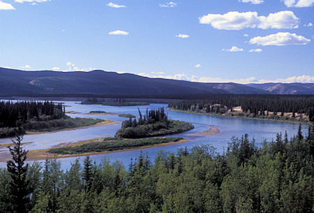
Yukon River near Five Finger Rapids, Yukon Territory
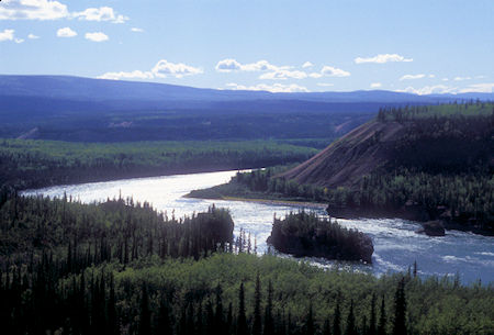
Five Finger Rapids on Yukon River, Yukon Territory
Stopped for the night at Tatchum Creek Yukon campground .
Sunday, August 9, 1998
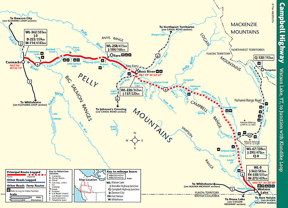
It was COLD this morning as I continued south to Carmacks for gas, then backtracked to the Campbell Highway turnoff. My plan was to take the Campbell Highway to Watson Lake.
I enjoyed a pleasant drive on good gravel with some paved sections through mountains with a variable forest, views of the Yukon River, Little Salmon River, 22 mile long Salmon Lake and Magundy River. More trees turning yellow added to the beauty.
Took the short side road to Faro, site of "the worlds largest lead-zinc open pit mine". The mine has changed owners several times in recent years and been open and closed. Is open now but the town is suffering from the on again/off again mine. They too are working on the tourist angle.
Back on the Campbell Highway I continued a pretty drive through colorful forest with numerous ponds and lakes of various sizes. Took the short side trip to the town of Ross River, another historic town. Nothing much to see there.
Early in World War II the Army decided they needed a pipeline from oil fields in the Northwest Territories of Canada to a refinery at Whitehorse (I think) - anyway, they built a road and four inch pipeline that passed through Ross River - cost 136 million dollars in 1944. This was to supply fuel for Alaskan military operations because of a feared Japanese invasion - and Japanese closing of the sea lanes which would have cut off fuel, etc.
The invasion never happened and the sea lanes remained open so the project was abandoned as too costly to operate less than a year after the refinery was completed. The CANOL (for Canada Oil) road still exists as a Yukon highway. It has been improved some but is still a narrow winding gravel road.
At the turnoff for Rose River there was a sawhorse out in the road and a sign on the Campbell Highway that said FIRE KM 166 - indicated a fire 166 kilometers from Watson Lake on the Campbell Highway and implying that the road was closed there. That was some 100 miles further on from where I was.
I thought about continuing on the Campbell Highway hoping that the road would be open, but I didn't really want to have to come back if it was closed - a 200 mile round trip - SOOOO, I decided to take the South Canol Road south to the Alaska Highway instead.
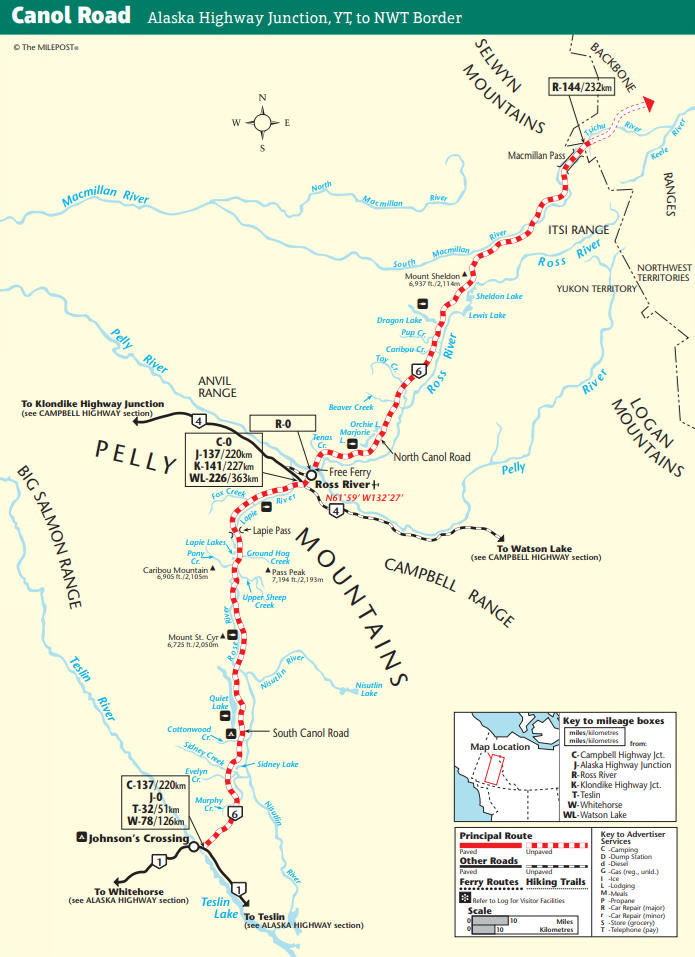
This turned out to be a fine choice as the scenery along the South Canol Road was great and the road was smooth gravel for the most part - a 30 to 35 MPH road in most places, slow due to the winding curves and roller coaster hills.
Many scenic views of the Lapie River, variable forest, beautiful Lapie Lakes at the river headwaters and Lapie Pass.
Saw a pair of what looked like deer to me. Descending past Rose Lake and along Rose River on the other side of Lapie Pass was not as scenic but the road was straighter too.
Started to sprinkle pretty steadily as the afternoon wore on - made the road a little slippery in spots.
I soon arrived at 17 mile long Quiet Lake and stopped at the Quiet Lake Yukon campground - lightly used - for the night.
Monday, August 10, 1998
Another COLD morning as I headed south to the Alaska Highway, then east toward Watson Lake.
Nice scenery as the highway followed the shore of gigantic Tetlin Lake.
Stopped at the Continental Divide for lunch and arrived in Watson Lake shortly after 2 p.m.
Got a room at the Gateway Motor Inn, refueled, picked up some groceries, then spent two and a half hours searching the famous Signpost Forest for a sign that Gil and Isabelle Beilke had put up there in 1973.
They had given me some clues, but I couldn't find their sign or some of the ones they said were in the same place.
The "forest" has grown tremendously since 1973 and there is a new Visitor Center building and changes in the road and parking - the bottom line is that their sign is apparently gone - they will have to come back and put up a new one <grin>.


