On November 28-30, 1975 with Mike Cassiday, Joe Crimi, Cody Christenson, and Iver Lien we backpacked the Pat Keyes Trail. The trail is on Inyo National Forest and Bureau of Land Management lands. In 1994 the Inyo Mountains Wilderness was created and much of the trail is now in that Wilderness.
The Inyo Mountains historically have had a large amount of mining activity. Numerous trails were created to access the mines and to connect the various mine sites. In the 1990's volunteers explored the area searching out these old trails, most of which were not on maps. Many miles of trails have now been mapped. The Lonesome Miner Trail is a combination of trails stretching 40 miles from near Reward in the Owens Valley to Hunter Canyon in the Saline Valley.
You can Google both Lonesome Miner Trail and Pat Keyes Trail for additional information.
At the time of our trip, we utilized the Independence and Waucoba Wash 15-minute topographic maps. The trail is also shown on the Bee Springs Canyon and Pat Keyes Canyon 7.5-minute topographic maps which are used for the maps on this page.
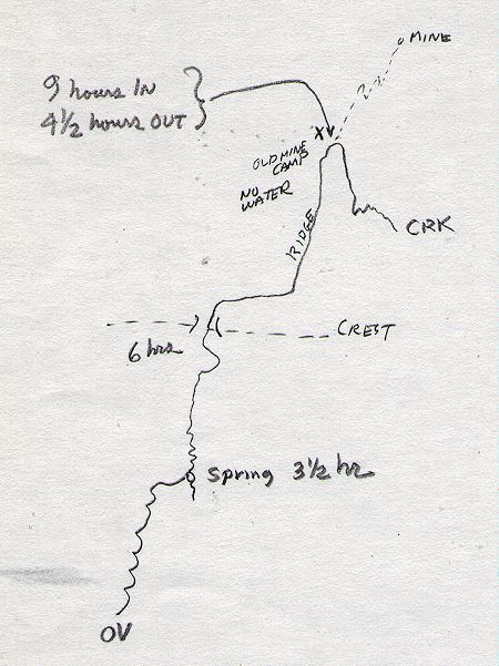
Sketch map of Pat Keyes Trail route we took
We hit the trail near the Reward Mine at 3840' at 6:30 a.m. just as it was getting light. The first three hours was open country but in the shadow of the mountains at this hour. We then hit the tree line (Pinyon's) and an old wire fence gate.
About half an hour later we arrived at a spring which has a small camp nearby. The spring was frozen but had water. About two hours later at noon we stopped for lunch at a flat just below the top of the ridge. After lunch we quickly made the ridge (Pat Keyes Pass) and continued over to the saddle on the ridge we would follow out toward Saline Valley.
We followed this ridge for what seemed a long time until we reached ruins of a cabin. After looking around we got the map out and got our directions straight - then went hunting for the trail down to Pat Keyes Canyon. We weren't having much luck and it was 4 p.m. so we returned to the cabin site and made camp.
All day had been broken clouds and occasional snow flurries - around 7 p.m., after supper, it started snowing lightly but quit after we went to bed without leaving much snow. During the night it got windy several times and blew some of the snow away. In the morning it was zero degrees when we got up around 6:30 a.m.
After breakfast we set out to find the trail to the canyon and get water - which we did right off - in beautiful sunny weather - We got to the canyon in quick time and found an old mill site with arrastra (2) and old steam engine, etc. We found a cyanide operation covered up for the winter - seems three local people (Akin father and son, Dickman) were working the dump from the old crushing and panning operation.
We looked through the ruins of the original operation, got our water and ate some snacks, then headed back to camp, arriving about 2 p.m. We then took the short hike out the ridge to some mines (Pat Keyes Mine) Mike had located in the morning while looking for the trail. We found one tunnel with an ore bucket partly caved in and decided it wasn't safe to explore, but lower down was another tunnel with all sorts of workings.
We went back into the main tunnel about 100 feet and one side tunnel. It was quite interesting. Then back to camp and supper. The next morning we got up to +10 temperatures around 6:30 and after breakfast hit the trail around 8:45. We made the ridge (Pat Keyes Pass) about 10 and headed down to the car.
It took about 9 hours to reach camp coming in and about 4 1/2 hours going out. It was quite a climb coming in but was an enjoyable trip. Water is the only problem - but it can be managed. We each took two quarts - some three. Due to the shortage of water this trip is best done in the fall or spring to avoid summer heat. We enjoyed the trip.
The following are my notes on the route. There are differences in distances from the map below.
| Location | Distance (miles) | Accumulated Distance (miles) | Elevation (feet) | Time (hours) |
|---|---|---|---|---|
| Trailhead | 0.0 | 0 | 3840 | 0.0 |
| Tree Line - old fence gate | 3.0 | 3 | 7000 | |
| Trailhead to Spring | 0.5 | 3.5 | 7800 | 3.5 |
| Lunch Saddle | 1.0 | 4.5 | 8500 | 5.5 |
| Pat Keyes Pass (ridge/crest) | 1.0 | 5.5 | 9500+ | 6.0 |
| Saddle | 0.75 | 6.25 | 9200 | |
| Ridge Campsite (no water) | 2.0 | 8.25 | 8200+ | 9.0 |
| Pat Keyes Millsite (creek for water) | 1.75 | 6900 | Side trip from camp | |
| Pat Keyes Mine | 0.5 | |
7700+ | Side trip from camp |
To reach the trailhead, take the Manzanar-Reward Road east from U.S. 395. As you approach the Reward Mine, pay attention to the map and follow the blue line to the trailhead. High clearance 4WD vehicle may be required near the trailhead as the road is not maintained.
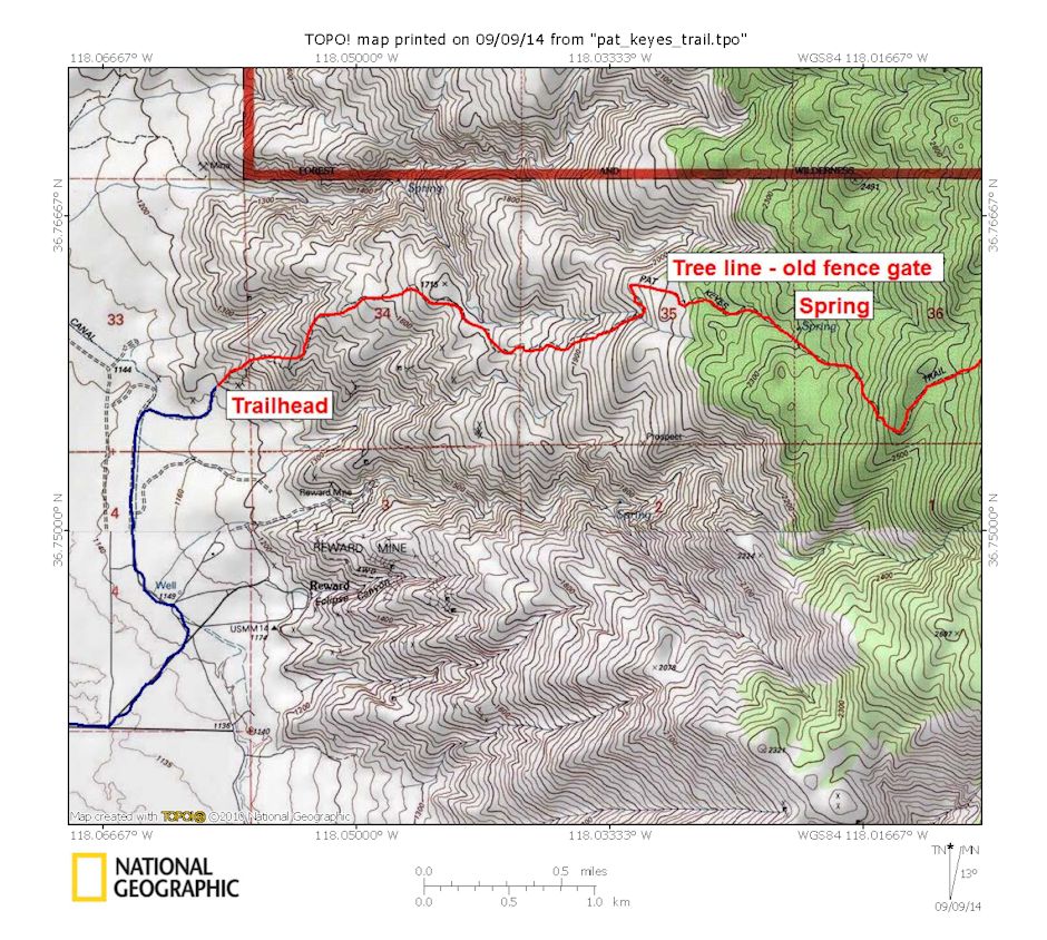
First half of Pat Keyes Trail Route
The route shown below from the campsite to the arrastras (Pat Keyes Millsite) is approximate. In 1975 there was a defined trail. When the mines were in operation, this trail would have been used to haul the ore down to the arrastra and to get water for the mine camp.
NOTE: The heavy red line on the maps is the Inyo Mountains Wilderness boundary.
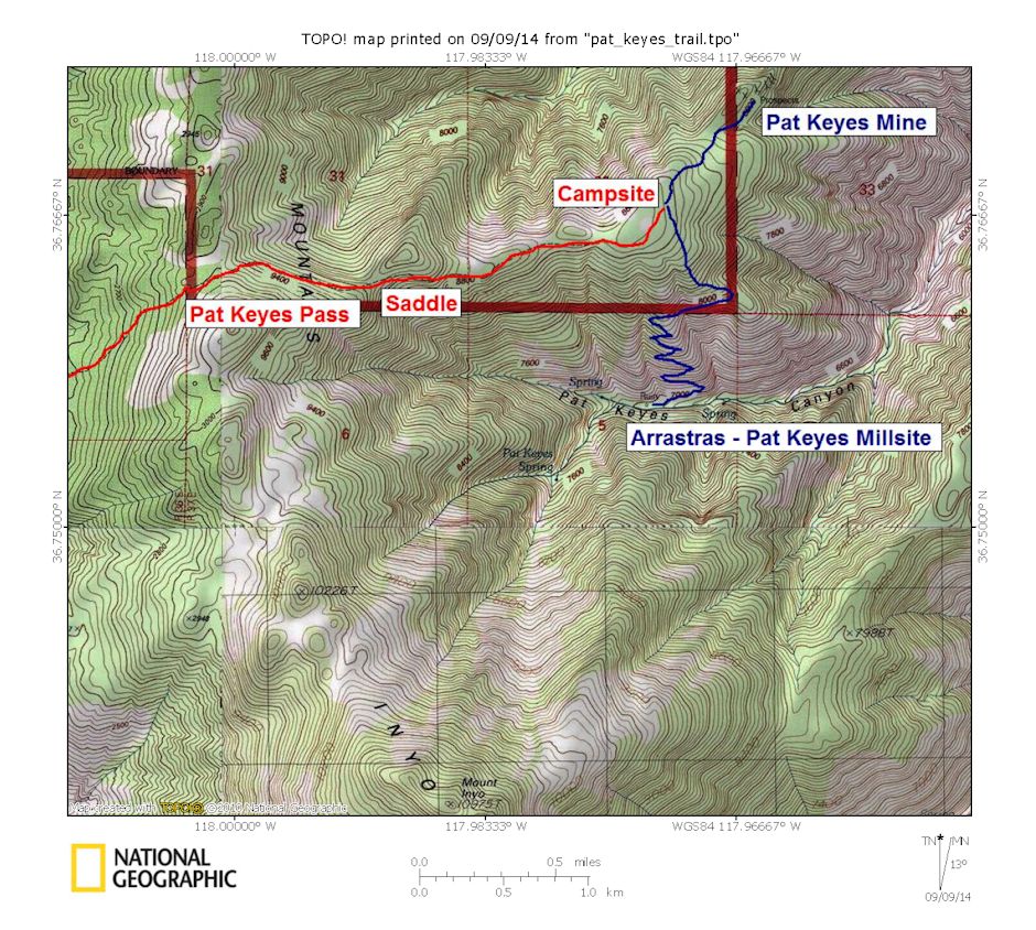
Second half of Pat Keyes Trail Route

Pat Keyes Trail Route Profile From Trailhead To Campsite. Side Trips Not Included
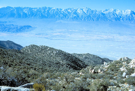
Looking at Owens Valley from near Pat Keyes Pass
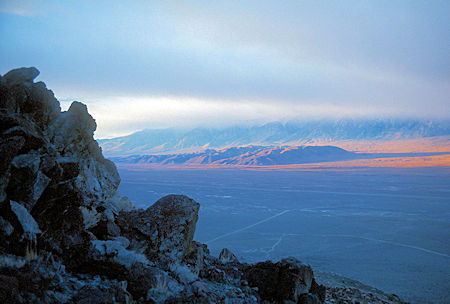
Looking down into Owens Valley at the Alabama Hills near Lone Pine
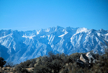
Mt. Whitney from saddle
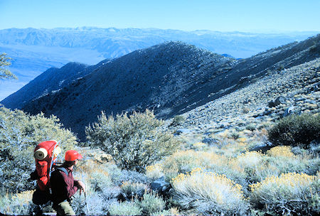
Looking from the 'saddle' along the ridge to Pat Keyes Pass
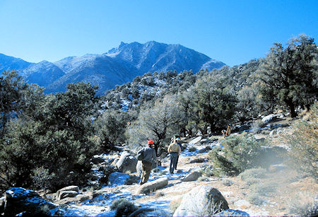
Mt. Inyo from the trail down to Pat Keyes Canyon
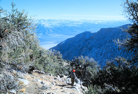
View toward Saline Valley from the trail down to Pat Keyes Canyon
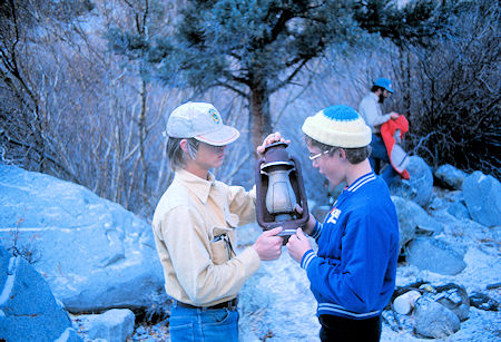
Old lantern at Pat Keyes Millsite
Iver Lien, Cody Christenson and Mike Cassiday
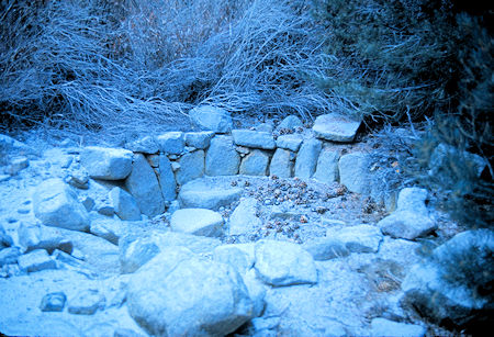
Arrastra at Pat Keyes Millsite
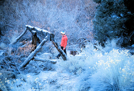
Cody Christenson examines arrastra at Pat Keyes Millsite
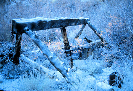
Arrastra at Pat Keyes Millsite
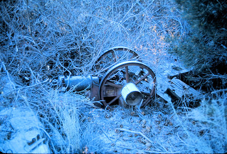
Gasoline engine at Pat Keyes Millsite, probably used to drive arrastra
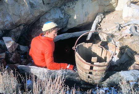
Cody Christenson and old ore bucket at a tunnel entrance at Pat Keyes Mine
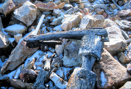
Old crank shaft/handle at Pat Keyes Mine
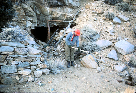
Joe Cremi examines pick at entrance to a tunnel at Pat Keyes Mine
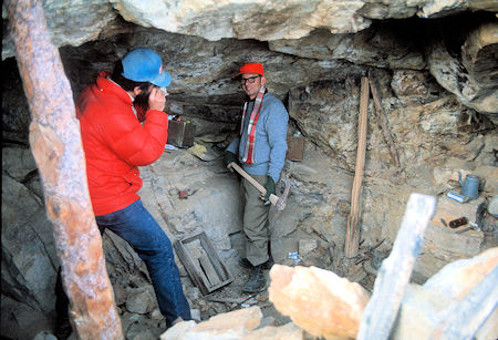
Mike Cassiday photographs Joe Cremi with pick at entrance to
one of the tunnelsat Pat Keyes Mine
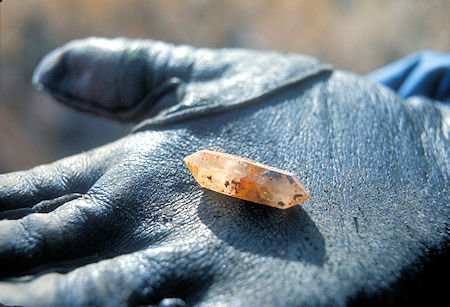
A crystal we found at the Pat Keyes Mine
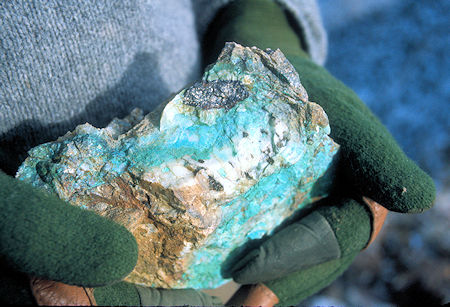
Colorful rock (ore?) we found at Pat Keyes Mine
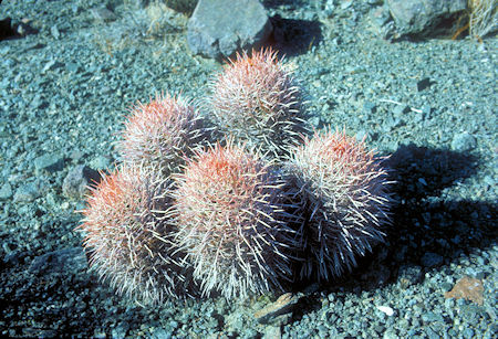
Barrel Cactus at Pat Keyes Mine
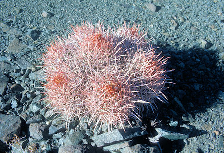
Barrel Cactus at Pat Keyes Mine