Stan Haye and I did an overnight car trip on October 2-3, 1976 which included day hikes to the top of Waucoba Mountain 11,123' (highest peak in the Inyo Mountains) and Andrews Mountain 9,460'. Total trip 116 miles RT from Independence.
We left Independence about 8:30 a.m. and drove up Mazourka Canyon to Badger Flat and the Blue Bell Mine (site), then via jeep road to a saddle near Side Hill Spring and on to within a mile of Waucoba Mountain at about 10,300' which we climbed. About 28 miles from US395 south of Independence.
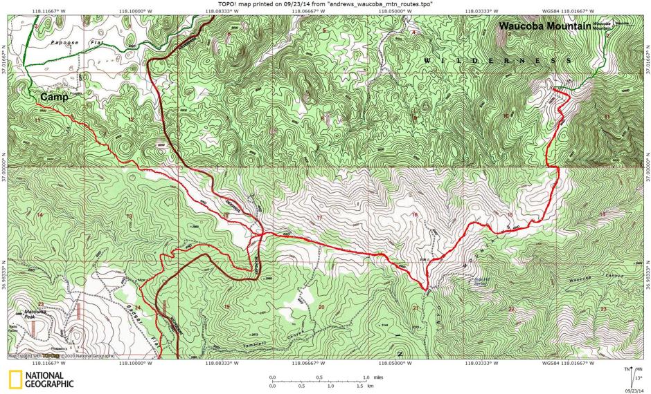
Waucoba Mountain Route Map
The RED line is the road route to the parking place to climb Waucoba Mountain, then back tracking to near Papoose Flat. The GREEN line at the upper right is the hiking route to the top of Waucoba Mountain. The GREEN line in the upper left above the CAMP is the second day's road route.
There is an alternate shorter route from the east reached by driving east from Big Pine on Hwy. 168, turning southeast on the Death Valley Road, then south on the Waucoba-Saline road through Whippoorwill Canyon and exiting onto a dirt road that takes you perhaps a half mile up a canyon at the base of Waucoba for a three mile, 3,000' gain hike.
You can Google "Waucoba Mountain" to find a variety of routes/trip reports. This one covers one of them.
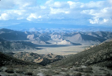
Squaw Flat from road to Waucoba Mountain
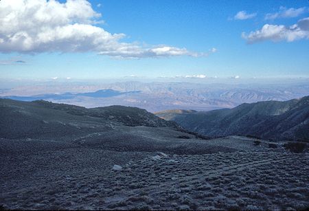
Road to Waucoba Mountain
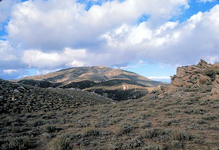
Waucoba Mountain from road
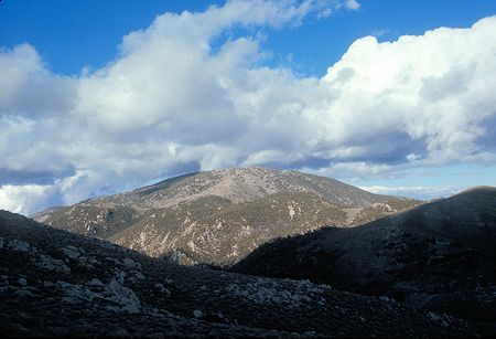
Waucoba Mountain from road

Waucoba Mountain
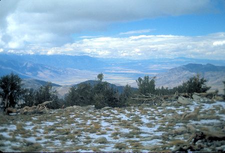
Toward Bishop from Waucoba Mountain
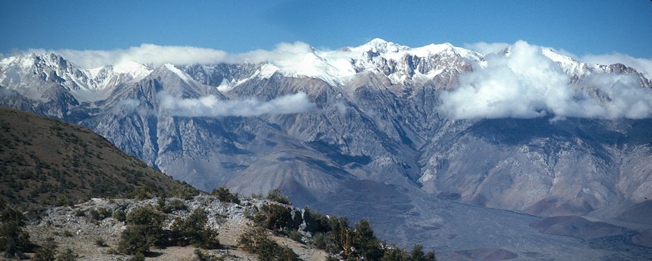
Sierra Nevada from Waucoba Mountain
After hiking up Waucoba Mountain we returned to the road and took the route to Papoose Flat, stopping for the night at a saddle around 8600'.
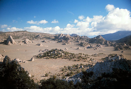
Papoose Flat - Inyo Mountains - October 3, 1976
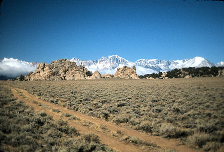
Sierra from Papoose Flat - October 3, 1976
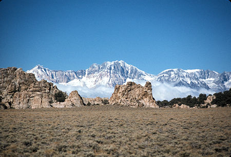
Sierra from Papoose Flat - October 3, 1976
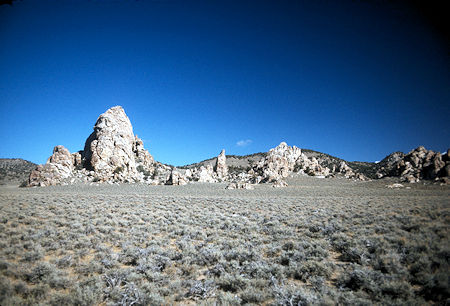
Papoose Flat - Inyo Mountains - October 3, 1976
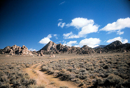
Papoose Flat - Inyo Mountains - October 3, 1976
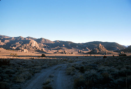
Papoose Flat - Inyo Mountains - October 3, 1976
On November 20, 1976 I returned to Papoose Flat with some friends from Lone Pine who did some rock climbing while I took pictures.
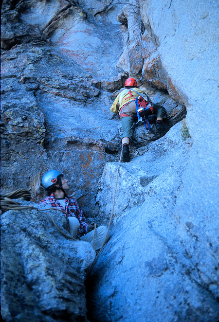
Rock Climbing in Papoose Flat - November 20, 1976
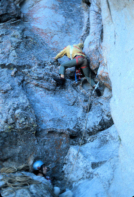
Rock Climbing in Papoose Flat - November 20, 1976
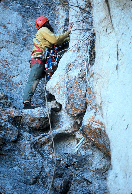
Rock Climbing in Papoose Flat - November 20, 1976
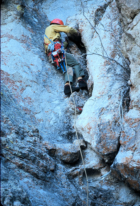
Rock Climbing in Papoose Flat - November 20, 1976
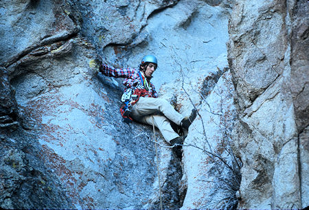
Rock Climbing in Papoose Flat - November 20, 1976
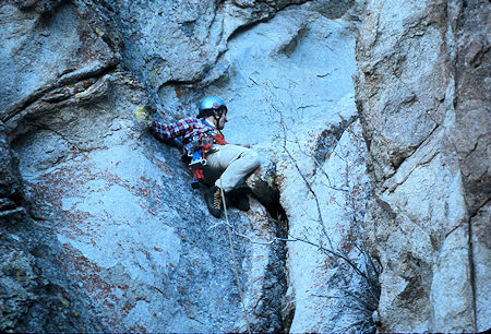
Rock Climbing in Papoose Flat - November 20, 1976
The next day, from camp, we continued on down the road into Papoose Flat, then turned right on road to Squaw Flat, then left on road down to the Narrows and on to within a short distance of the Waucoba-Saline Road, then doubled back on the Hines Road.
We took the left road junction to the mine at a saddle just west of Andrews Mountain (Helm No. 1 Mine). We climbed the short distance to the top of Andrews Mountain and enjoyed good views of the entire area.
We then returned to the car and went back to the main road and turned left going back to Papoose Flat, thus completing the "Around Andrews Mountain" loop. We then turned around and drove back down the road to the Waucoba-Saline Road and Big Pine and home.
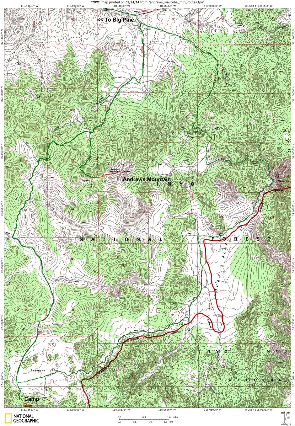
Andrews Mountain Route Map
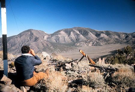
Stan looking toward Squaw Peak, Waucoba Mountain and Squaw Flat
from Andrews Mountain
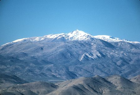
White Mountain from Andrews Mountain

Squaw Peak, Waucoba Mountain, Squaw Flat and Papoose Flat Panorama from Andrews Mountain
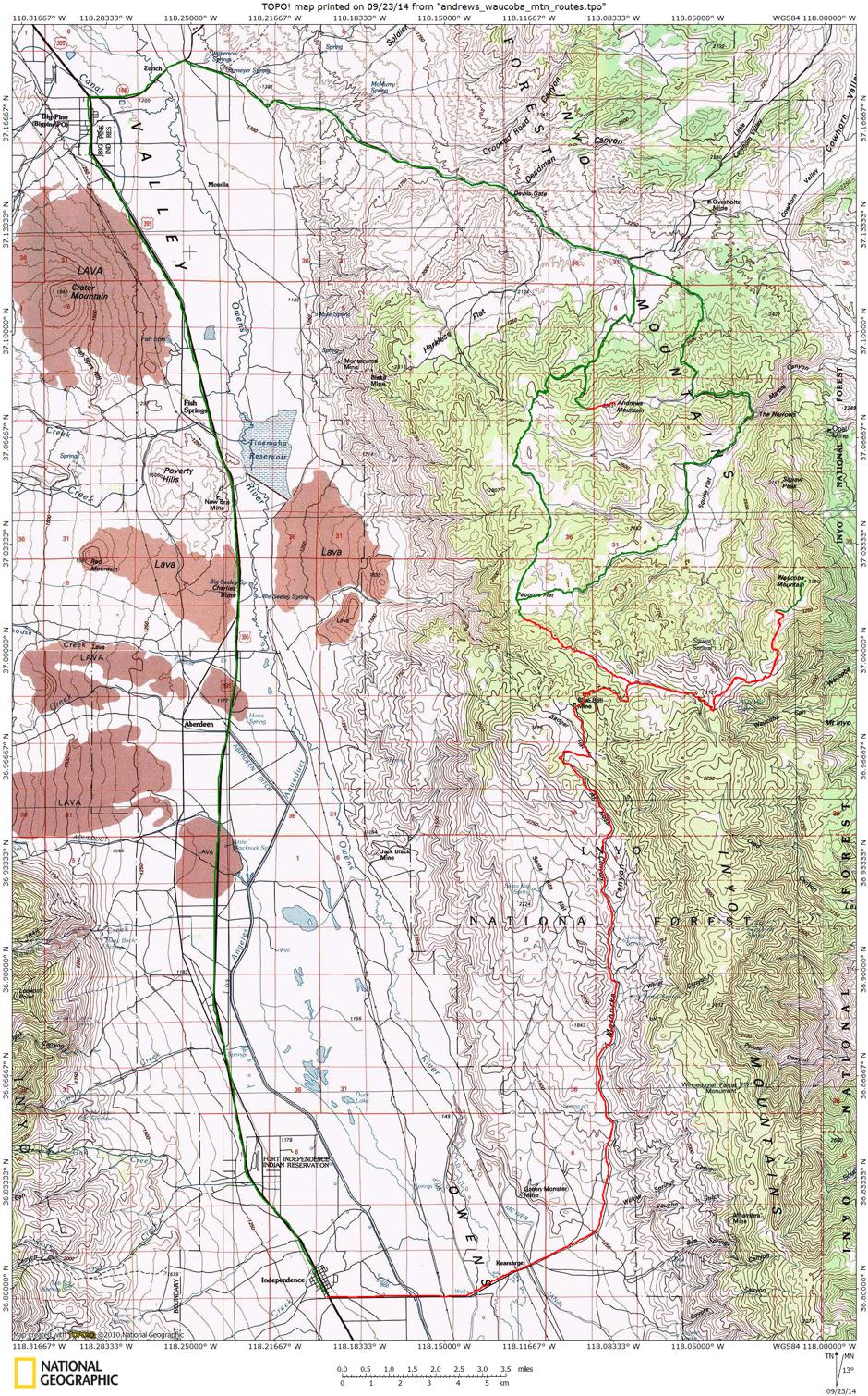 Route Map for Waucoba and Andrews Mountain trip