Joe Crimi, Ralph Nicholas, Tom Lanshaw and myself did a day hike to Seep Hole Spring on December 18, 1976 while I was living in nearby Lone Pine, California.
Left Lone Pine about 7:30 a.m. and arrived at trail head about 8:30 a.m. The good trail climbed steadily to a large scrubby meadow at 9400'+, then drops slightly to Seep Hole Spring.
At the spring, which really isn't much more than a seep but has been dug out some, we found a small campsite for lunch - we arrived about 11:15 a.m. Lots of deer apparently visit the spring for water as we saw lots of tracks.
We followed the trail a short distance beyond the spring to a ridge from which we could see Winnedumah Paiute Monument about three and a half miles south. The trail continues, dropping into Lead Canyon and eventually Saline Valley.
After lunch and a little laying around we headed back - taking our time in the "meadow" looking for arrowheads. Found many pieces of Obsidian - Ralph found a partial arrowhead.
We started down the trail about 2:45 and were at the car by 4 p.m. There was only a slight breeze and the temperatures were mild - a great day.
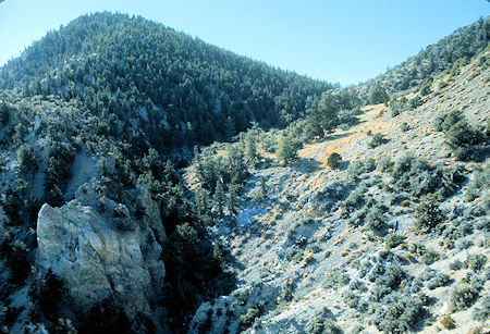
On the way to Seep Hole Spring
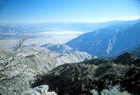
Looking southeasterly toward Saline Valley
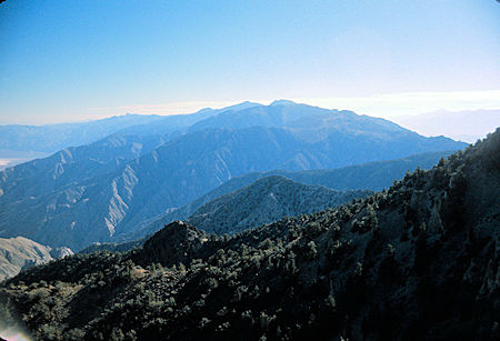
View from the trail to Seep Hole Spring
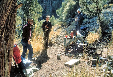
Joe Crimi, Ralph Nicholas and Tom Lanshaw at Seep Hole Spring campsite
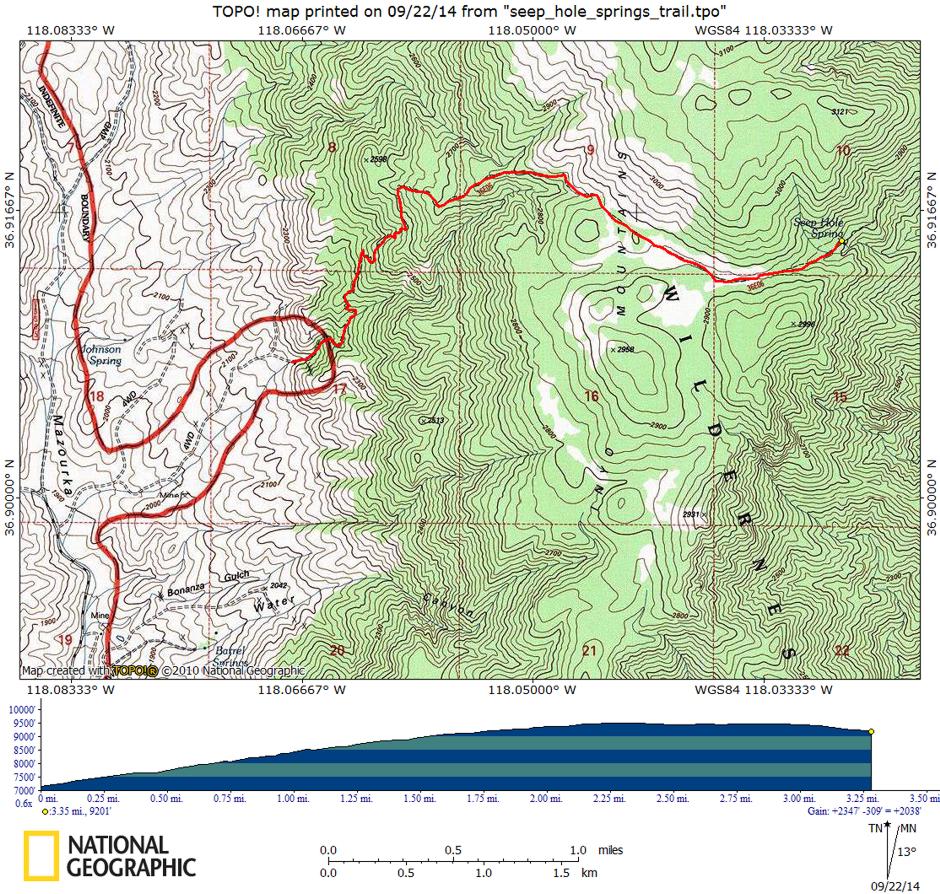
From US395 south of Independence, take the Mazourka Canyon County Road east and north about 12 miles to Forest Service Road 13S05H on the right. Follow the dirt 4WD road about a mile and a half to the trailhead as shown on the map.
This trip report by another party in October 2012 provides some information and pictures.