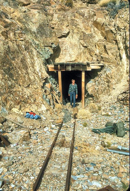
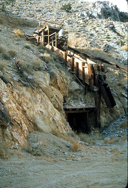
Stan Haye, myself and Ralph Nickolas visited the Betty Jumbo Mine on December 26, 1976 while I was living in nearby Lone Pine, California.


From "Mines and Prospects of the Andrews Mountain, Mazourka, and Paiute Roadless Areas, Inyo County, California," U.S. Geological Survey, 1987, by Steven W. Schmauch:
Summary: Tactite bodies were formed along and near igneous-sedimentary rock contacts. Sheelite is present in fine disseminations, coarse aggregates, and along hairline fractures in tactite. The two largest tactite bodies were developed at the east and west adits. At the east adit an original resource was about 125 feet long, 20 feet wide, and 10 feet thick. The west adit is centered on the thickest part of a tactite outcrop that is partially exposed for 450 feet. It ranges from 2 to 28 feet thick and is 100 feet wide, as developed at the west adit. The adit also exposes a copper- and gold-bearing shear zone that is 46 feet long and 2.5 feet thick. The Betty Jumbo no. 6 contains a gold-bearing shear zone that is 38 feet long and 1.5 feet thick.
Workings: The east, west, and south adits total over 1,200 feet of mostly single level development. Other workings nearby include two shafts no more than 25 feet deep, two trenches, three pits, and three adits 10, 60, and 75 feet long. Production from the property in 1918 and 1951 totals 1,037 lb tungsten, 5,575 lb copper, and 46 ounces of silver. An additional estimated 18,750 lb of tungsten were recovered from a 1952 shipment, but were not recorded.


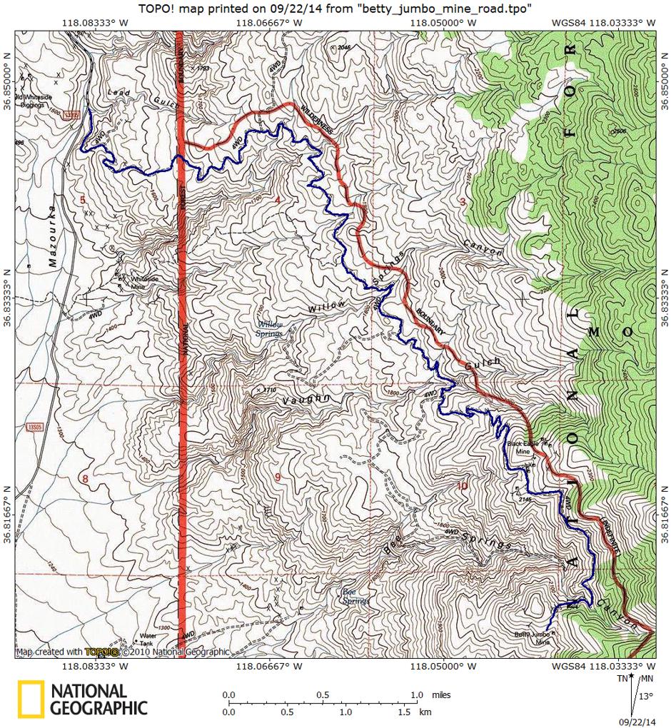
From US395 on the south side of Independence, California, take the Mazourka Canyon Road east and north for 8.4 miles to the Betty Jumbo Mine Road on the right.
The Forest Service Betty Jumbo Mine road (36E401) is about 7.5 miles long from the Mazourka Canyon Inyo County Road. It climbs in a little over two miles from about 4800' to about 6100' and then runs relatively level for about three miles. It then climbs to about 7400' before dropping slightly with some ups and downs to the mine at about 7000'. It parallels the Inyo Mountains Wilderness boundary to the east.
The road is subject to rock fall so you should check locally or with the Forest Service regarding the current status before attempting this route.
This trip report from 2012 by an unrelated person Mazourka Canyon Exploration will give you a feel for the area.