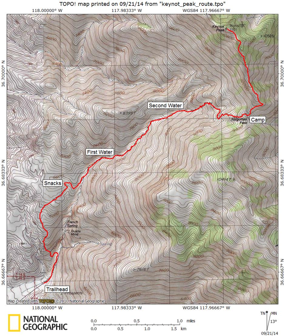
I climbed Keynot Peak, 11,101', second highest in the Inyo Mountains, on April 22-23, 1978 on a beautiful spring weekend. Wacouba Mountain at 11,123' is the highest. Stan Haye and I left my apartment in Lone Pine shortly after 7 a.m. and drove to the trailhead below French Spring - hitting the trail about 8 a.m. The trailhead is at about 4600 feet. The trail is good all the way with only a few washed out spots, none presenting any problem.
After about two hours we stopped for snacks on top of the ridge at about 6600 feet. The trail continues up the ridge then contours around and drops into the main canyon well above the French Spring area. Continuing up the canyon bottom we arrived at running water about 11:30 a.m. at about 7000 feet.
We ate lunch and rested until about 12:30. The trail continues steadily up the canyon bottom and at about 8300 feet comes to another spring. Both of these last two water sources probably dry up during the summer.
The trail now switchbacks up the side of the canyon and contours around to the saddle south of Keynot at 9600 feet (Forgotten Pass) where we arrived between 4:30 and 5. Many peak climbers apparently camp around 8000 feet and ascend directly to the peak from there.
In the morning, Stan took a leisurely return to the car while I headed out for Keynot Peak about 9 a.m. after breaking camp. I followed the ridge to about 10200 and discovered some technical rock ahead if I stayed on the ridge.
The best route except for snow would probably have been to traverse around on the East side, however, I decided to drop down and contour around under the pinnacles on the west side.
Unfortunately I climbed back to the ridge too soon and had to drop down some again. After a lot of up and down I finally made the easy peak itself about 1 p.m. Signed the register and enjoyed reading entries back to 1945.
After an hour on top in beautiful weather with great views of the Inyo range and the Sierra, I headed back to camp about 2. To avoid all the up and down I traversed along the East side on much loose and very tiring shale - arriving at camp at the saddle at about 3:30.
After resting and packing I headed down the trail about 4 p.m. Took 30 minutes to the 8300 foot water, 30 minutes to the 7000 foot water and made the car about 6:45 pm. as it was getting dark. Round trip was about 14 miles.

Sierra Nevada from Keynot Peak

Sierra Nevada from Keynot Peak
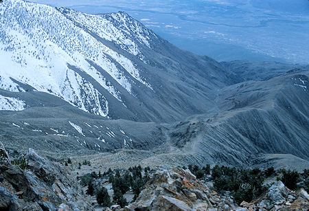
Route from French spring to Keynot Peak
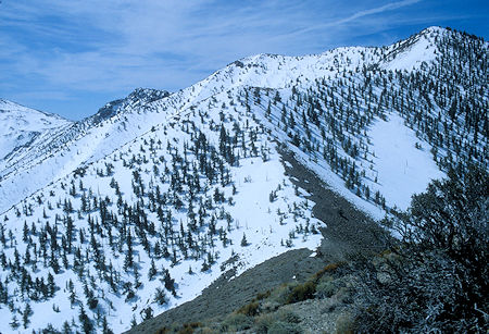
Keynot saddle - Forgotten Pass
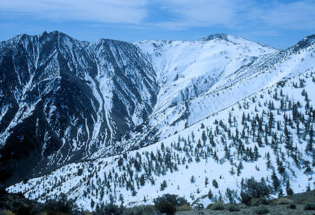
New York Butte and route down to Beveridge Mill Site
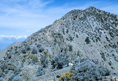
Keynot Ridge
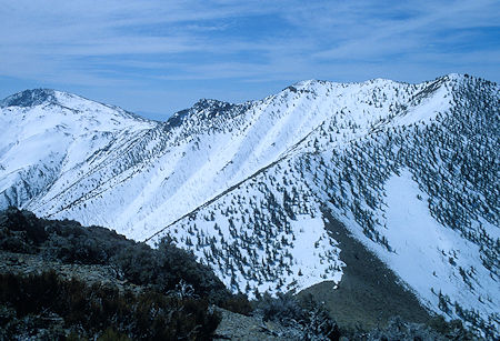
New York Butte and Keynot saddle (Forgotten Pass)
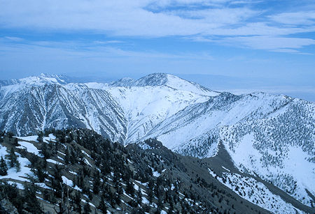
Inyo Mountains crest south of Keynot Peak
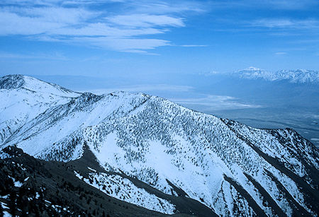
Inyo Mountains crest, Owens Lake, Olancha Peak from Keynot Peak
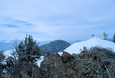
Mount Inyo from Keynot Peak
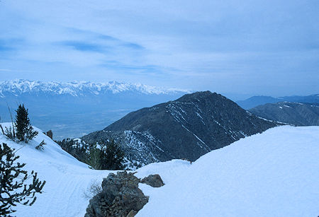
Mount Inyo from Keynot Peak
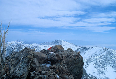
Keynot Peak with New York Butte in the background
