On August 16-30, 1958 I did a solo 85 mile (including 5 days cross-country) backpack loop out of Glacier Point including portions of the John Muir Trail in Yosemite National Park. This was my second visit to the Sierra Nevada.
This was my first trip on the John Muir Trail. I covered the section from Yosemite Valley to Thousand Island Lake. From the beginning of the John Muir Trail at Happy Isles in Yosemite National Park I hiked the Muir trail to Tuolumne Meadows, then south over Donohue Pass to Thousand Island Lake. I then turned west on a cross-country route over Lake Catherine Pass north of Banner Peak and worked my way to the Merced River headwaters then followed the river back to Yosemite Valley.
These pictures are primarily of that trip, however I visited the area additional times shown in some of the pictures.
I parked my car at Glacier Point with its tremendous views of the Yosemite Valley and Half Dome. My first day took me over a familiar trail past Illilouette Fall, Panorama Cliff to Nevada Falls where I made camp on the Merced River in Little Yosemite Valley next to a sandy beach.
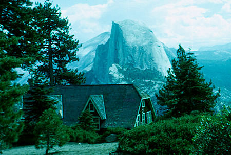
Glacier Point Hotel and Half Dome at Glacier Point
Yosemite National Park 16 Aug 1958
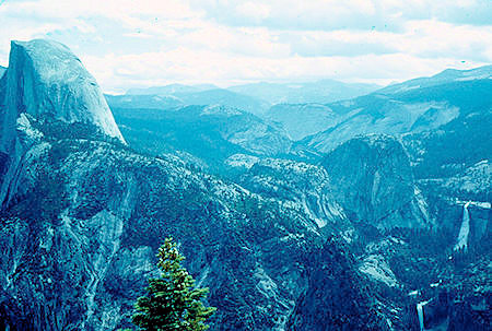
Half Dome, Nevada Falls, Vernal Falls from Glacier Point
Yosemite National Park 16 Aug 1958
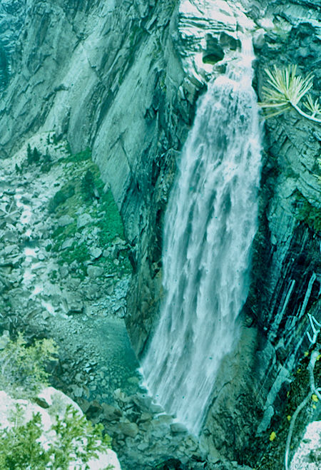
Illilouette Falls - Yosemite National Park 16 Aug 1958
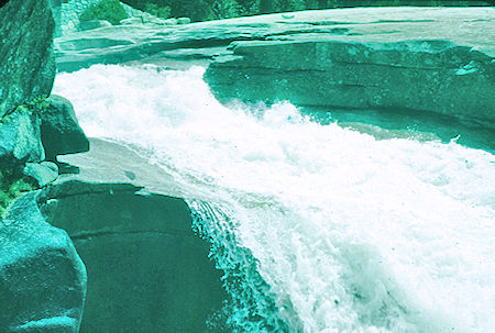
Nevada Falls - Yosemite National Park 16 Aug 1958
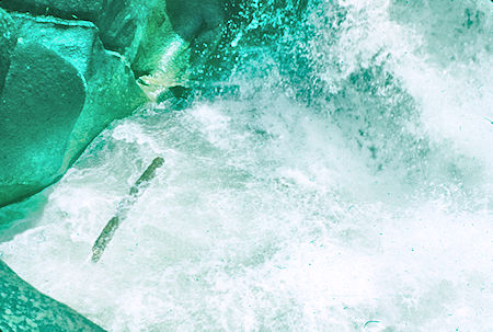
Nevada Falls - Yosemite National Park 16 Aug 1958
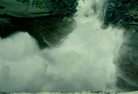
Looking down Nevada Falls - Yosemite National Park - 16 Aug 1958
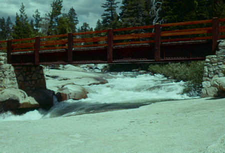
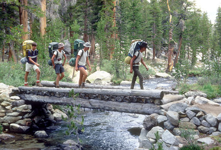
Bridge at Nevada Falls - Yosemite National Park - 16 Aug 1958
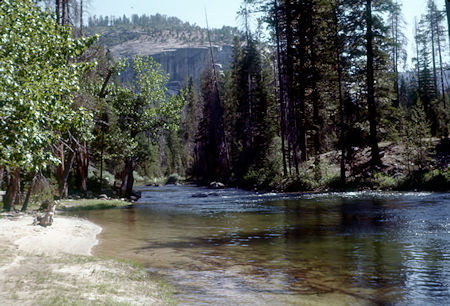
Merced River at Sunrise Trail Junction
Yosemite National Park - 16 Aug 1958
Need NEVADA FALLS TOP pictures
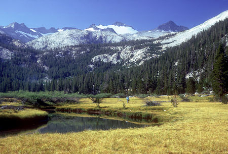
A rainy day took me up the long climb past the Half Dome side trail to Long Meadow which I had all to myself (now there is a High Sierra Camp there).
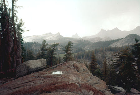
Storm over Long Meadow, John Muir Trail
Yosemite National Park - 17 Aug 1958
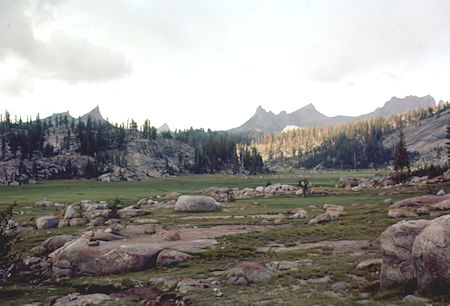
Long Meadow, John Muir Trail - Yosemite National Park - 17 Aug 1958
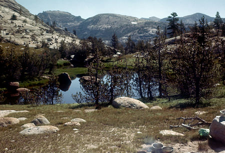
Long Meadow near camp, John Muir Trail
Yosemite National Park - 17 Aug 1958
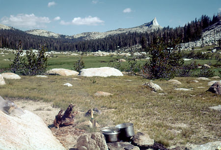
Long Meadow from camp, John Muir Trail
Yosemite National Park - 17 Aug 1958
Long Meadow and the views as I hiked past the Cathedral Peaks over Cathedral Pass to Tuolumne Meadows were beautiful. I hiked across Tuolumne Meadows to the Sierra Club camp and Soda Springs, then turned back to the nearby car camp.
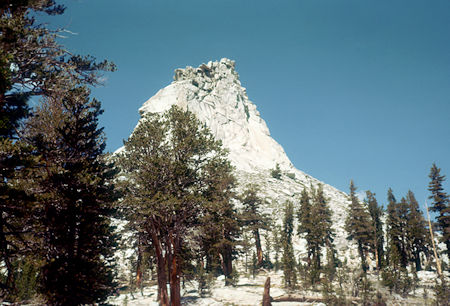
Columbia Finger, John Muir Trail - Yosemite National Park - 18 Aug 1958
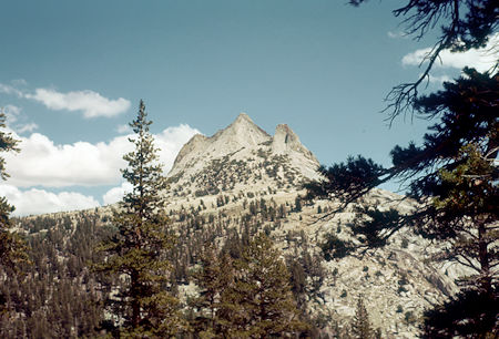
Unicorn Peak, John Muir Trail - Yosemite National Park - 18 Aug 1958
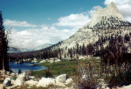
Upper Cathedral Lake, Cathedral Peak from near Cathedral Pass
John Muir Trail - Yosemite National Park - 18 Aug 1958
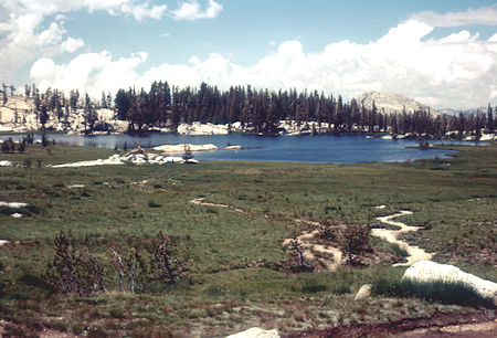
Upper Cathedral Lake at Cathedral Pass - John Muir Trail
Yosemite National Park - 18 Aug 1958
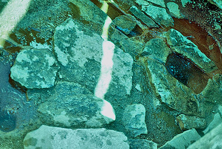
Soda Spring at Tuolumne Meadows - Yosemite National Park 18 Aug 1958
Morning found me on the long flat Lyell Fork of the Tuolumne River. The day ended with a good pull up from lower - past middle - to upper Lyell Base Camp where I met an Explorer Post from the San Francisco area.
We also found a young boy in bad condition who had been left by his YMCA group when they proceeded over Donohue Pass. He was so sunburned he couldn't get in his sleeping bag. We finally were able to send a message with a hiker going to Tuolumne and a Ranger and horse came to evacuate him. I later received a thank you note from his parents.
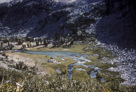
Upper Lyell Base Camp - Yosemite National Park - Aug 1961 by Gil Beilke
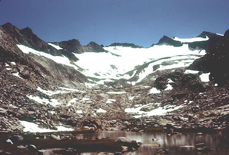
Mt. Lyell from Donahue Pass Trail - Yosemite National Park - Aug 1958
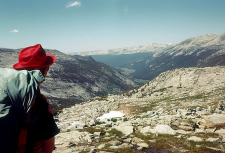
Lyell Fork from Donahue Pass - Yosemite National Park - Aug 1958
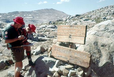
On top of Donahue Pass - Yosemite National Park - Aug 1958
Tuolumne Meadows Approach
The John Muir and Pacific Crest Trails lead from Tuolumne Meadows in Yosemite National Park south over Donohue Pass and Island Pass to Thousand Island Lake. Banner Peak is the pointy peak in front, Mt. Ritter is behind.
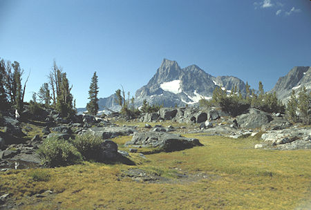
Banner Peak from meadow near Island Pass - Ansel Adams Wilderness - Aug 1988
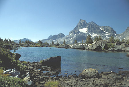
Island Pass Lake and Banner Peak - Ansel Adams Wilderness - Aug 1988
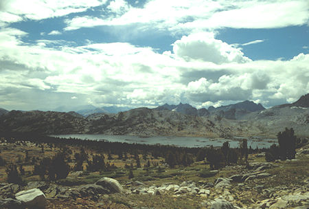
Thousand Island Lake from above Island Pass - Ansel Adams Wilderness - Aug 1988
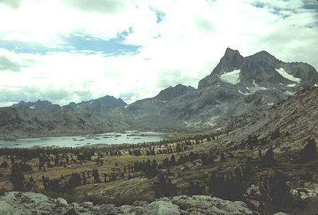
Banner Peak over Thousand Island Lake from above Island Pass
Ansel Adams Wilderness - Aug 1988
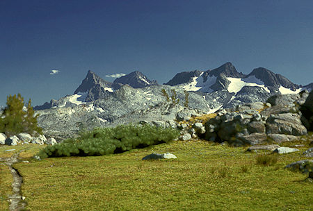
Banner Peak, Mt. Ritter, Mt. Davis in the Ritter Range from near Island Pass
Ansel Adams Wilderness - Aug 1966
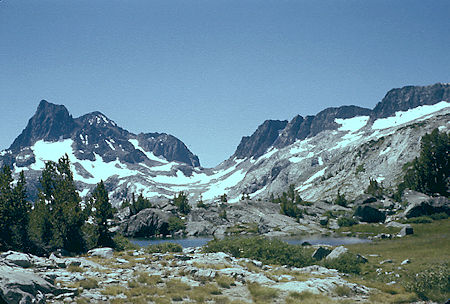
Banner Peak, Mt. Ritter (in back), the pass to Lake Catherine, Mt. Davis (right edge)
from Island Pass - Ansel Adams Wilderness - Aug 1958
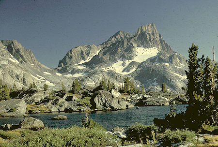
Mt. Ritter (in back) and Banner Peak from near Island Pass
Ansel Adams Wilderness - Aug 1966
Thousand Island Lake and Banner Peak Views
At Thousand Island Lake there are many fine views of the lake and Banner Peak.

Banner Peak over ice covered Thousand Island Lake, Mt. Davis, Rogers Peak, Mt. Lyell - Ansel Adams Wilderness - Jul 1980
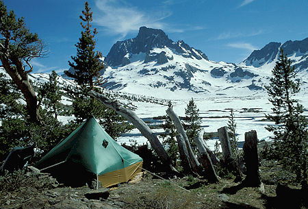
Banner Peak over frozen Thousand Island Lake from camp
Ansel Adams Wilderness - Jul 1980
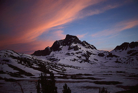
Sunset on Banner Peak - Ansel Adams Wilderness - Jul 1980
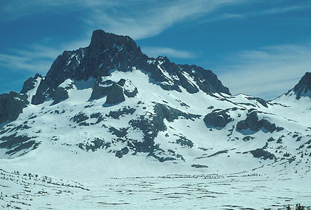
Banner Peak and Thousand Island Lake with saddle to Lake Catherine on the right
Ansel Adams Wilderness - Jul 1980
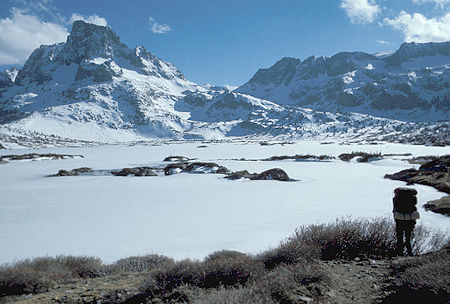
Frozen Thousand Island Lake and Banner Peak. You can see the sloping route on the right leading to the Lake Catherine pass - Ansel Adams Wilderness - Jul 1977
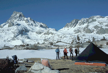
Banner Peak on the left and the Lake Catherine pass in the center from camp - Ansel Adams Wilderness - Jul 1977
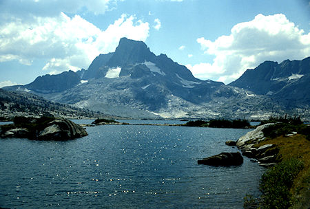
Banner Peak over Thousand Island Lake - Ansel Adams Wilderness - Aug 1988
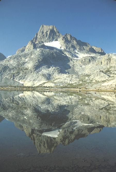
Banner Peak and reflection in Thousand Island Lake - Ansel Adams Wilderness - Aug 1988
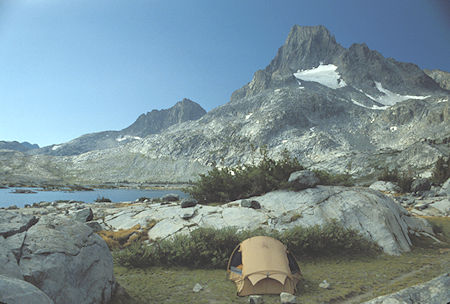
Banner Peak and camp at Thousand Island Lake - Ansel Adams Wilderness - Aug 1988
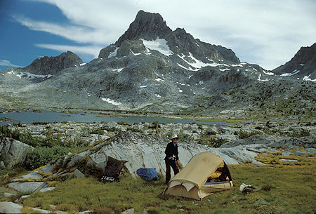
Banner Peak, Thousand Island Lake, Gil Beilke at our camp
Ansel Adams Wilderness - Aug 1991
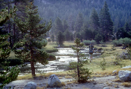
Lyell Fork Tuolumne River - Yosemite National Park - 24 Aug 1966
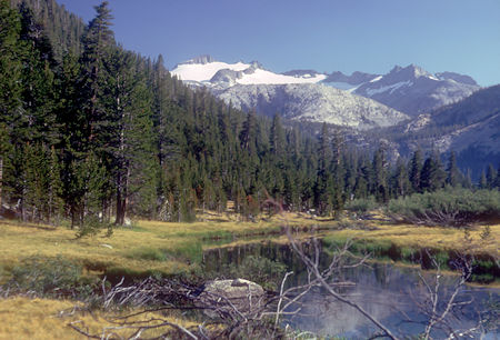
Mt. Lyell over Lyell Fork Tuolumne River
Yosemite National Park - 24 Aug 1966
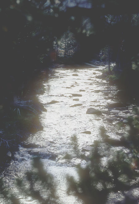
Lyell Fork Tuolumne River - Yosemite National Park - 24 Aug 1966
Mt. Lyell over Lyell Fork Tuolumne River
Yosemite National Park - 24 Aug 1966
Bridge at Middle Lyell Base Camp - Yosemite National Park 24 Aug 1966
Mt. Lyell from just below Lower Lyell Base Camp
Yosemite National Park 24 Aug 1966
Mt. Lyell over Upperr Lyell Base Camp
Yosemite National Park 24 Aug 1966
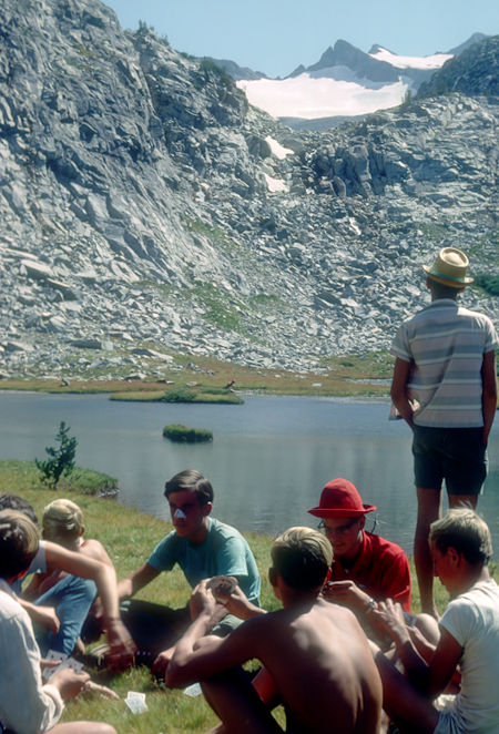
Regreation at Upperr Lyell Base Camp
Yosemite National Park 24 Aug 1966
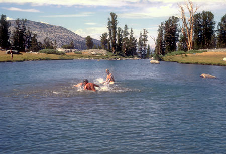
Regreation at Upperr Lyell Base Camp
Yosemite National Park 24 Aug 1966
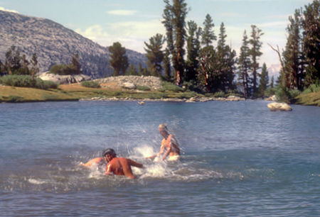
Regreation at Upperr Lyell Base Camp
Yosemite National Park 24 Aug 1966
The next day we headed over Donahue Pass.
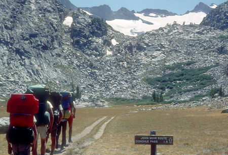
On the trail to Donahue Pass, Mount Lyell - John Muir Trail
Yosemite National Park - 26 Aug 1966
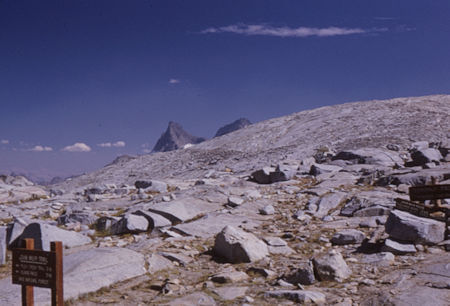
Donahue Pass
Yosemite National Park/Ansel Adams Wilderness - 26 Aug 1966
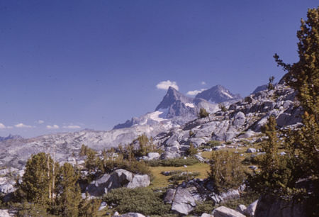
Banner Peak and Mt. Ritter - Ansel Adams Wilderness - 26 Aug 1966
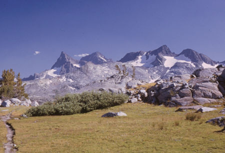
Banner Peak, Mt. Ritter, Mt. Davis
Ansel Adams Wilderness - 26 Aug 1966
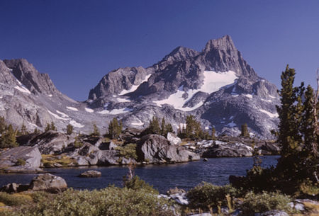
Banner Peak (rear), Mt. Ritter from near Island Pass
Ansel Adams Wilderness - 26 Aug 1966
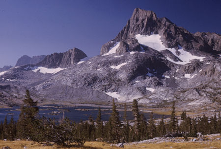
Banner Peak, Thousand Island Lake
Ansel Adams Wilderness - 26 Aug 1966
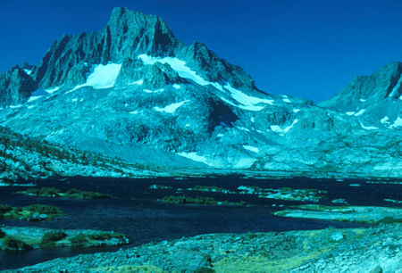
Banner Peak, Banner/Davis Pass, 1000 Island Lake
Ansel Adams Wilderness - 26 Aug 1966
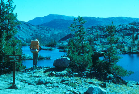
Emerald Lake - Ansel Adams Wilderness - 26 Aug 1966
The next morning one of the boys in the Explorer Post started off back down the trail toward Tuolumne and they had to chase him down and convince him to go on with them. We all finally hit the trail with wonderful views of Mt. Lyell and its glacier as we climbed over Donahue Pass and descended into the Rush Creek drainage.

Upper Lyell Base Camp from Donahue Pass Trail - John Juir Trail
Yosemite National Park - Aug 1961

Mount Lyell from Donahue Pass Trail - John Muir Trail
Yosemite National Park - Aug 1958

Lyell Fork Canyon from Donahue Pass - John Muir Trail
Yosemite National Park - Aug 1958

Top of Donahue Pass - John Muir Trail - Yosemite National Park - Aug 1958
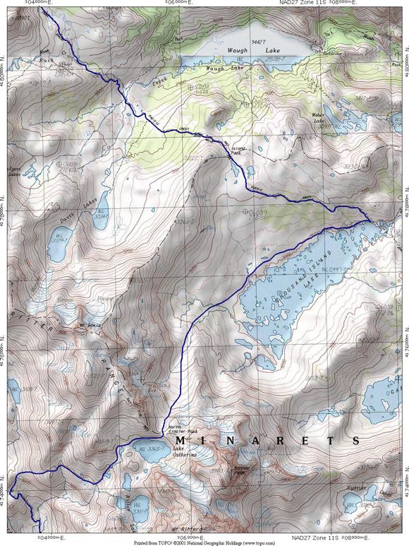
Island Pass to Lake Catherine map
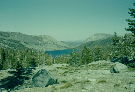
Waugh Lake from near 1000 Island Lake
Ansel Adams Wilderness - Aug 1958
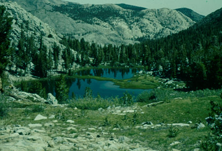
Lakes on way over Island Pass - Ansel Adams Wilderness - Aug 1958
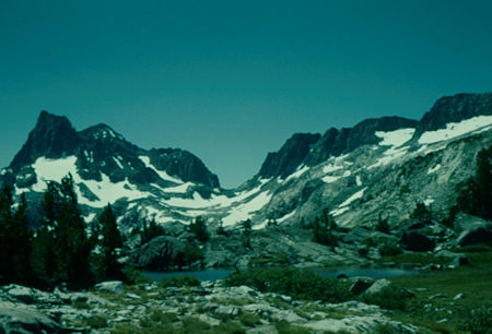
Banner Peak, Mt. Ritter, Banner/Davis Pass, Mt. Davis
Ansel Adams Wilderness - Aug 1958
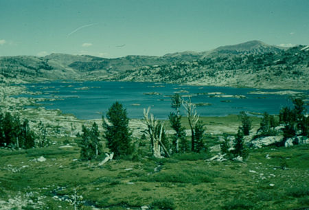
Thousand Island Lake from route to Banner/Davis Pass
Ansel Adams Wilderness - Aug 1958
At Thousand Island Lake I left the trail and proceeded cross-country toward a pass and Lake Catherine just north of Banner and Ritter Peaks. The lake still had an icy snowbank on its edge. In-route I passed a grave of someone who apparently died while on a trip in the area some years ago.
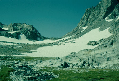
Near top of Banner/Davis Pass - Ansel Adams Wilderness - Aug 1958
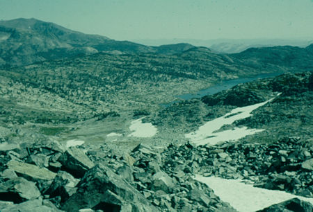
Thousand Island Lake, Island Pass ridge from near Banner/Davis Pass
Ansel Adams Wilderness - Aug 1958
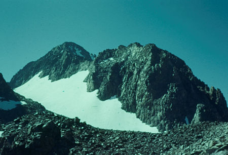
Mt. Ritter and top edge of Banner/Davis Pass
Ansel Adams Wilderness - Aug 1958
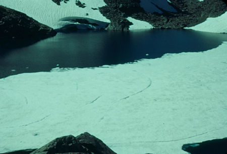
Lake Catherine from top of Banner/Davis Pass
Ansel Adams Wilderness - Aug 1958
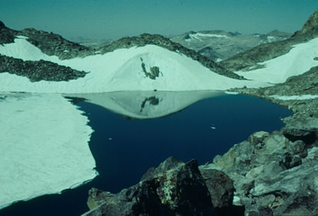
Lake Catherine from below Banner/Davis Pass
Ansel Adams Wilderness - Aug 1958
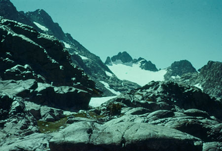
Route to west side of Mt. Ritter from Lake Catherine
Ansel Adams Wilderness - Aug 1958
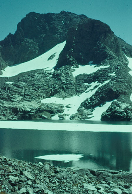
Banner Peak from Lake Catherine - Ansel Adams Wilderness - Aug 1958
The cross-country route down the North Fork of the San Joaquin River headwaters was spectacular and exciting. There are a series of shelves and you keep worrying about ending up on top of a cliff - but a break always appears at the last minute. Evidence of mining operations add interest.
Toward the end of this day's hike I had to be careful in making the proper right turn up Bench Canyon. Two canyons joined the river at a point close together and I wanted to make sure I ended up in the right one. I over did it and missed them both by going down the left side of an "island" and made camp at Hemlock Crossing about 5 miles below my intended canyon.
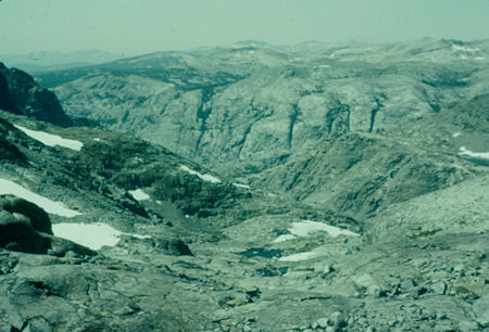
Drop into North Fork San Joaquin from below Lake Catherine
Ansel Adams Wilderness - Aug 1958
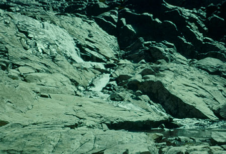
Water cascading from Lake Catherine
Ansel Adams Wilderness - Aug 1958
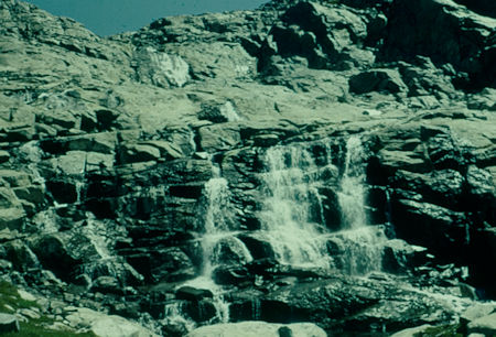
Water cascading from Lake Catherine
Ansel Adams Wilderness - Aug 1958
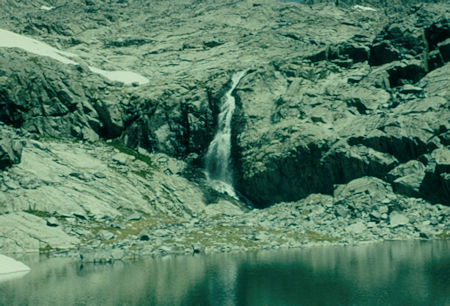
Waterfall below Lake Catherine - Ansel Adams Wilderness - Aug 1958
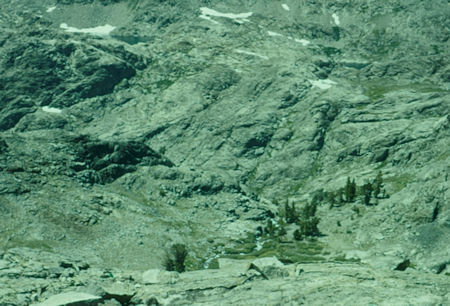
Looking down cliff on descent from Lake Catherine
Ansel Adams Wilderness - Aug 1958
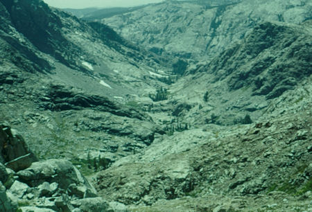
North Fork San Joaquin from below Lake Catherine
Ansel Adams Wilderness - Aug 1958
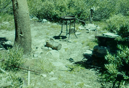
Old mining tools on descent from Lake Catherine
Ansel Adams Wilderness - Aug 1958
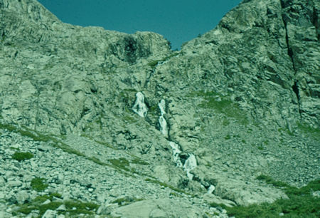
Trail on left from lunch at top of waterfall below Lake Catherine
Ansel Adams Wilderness - Aug 1958
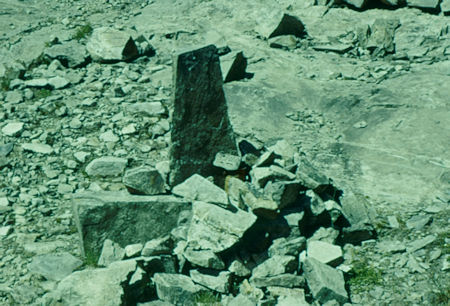
August 1955 quartz mining claim marker on route down
from Lake Catherine - Ansel Adams Wilderness - Aug 1958
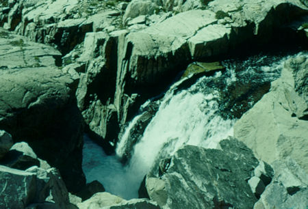
Waterfall from along the trail down from mine claim area
Ansel Adams Wilderness - Aug 1958
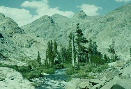
Looking upstream on North Fork San Joaquin
Ansel Adams Wilderness - Aug 1958
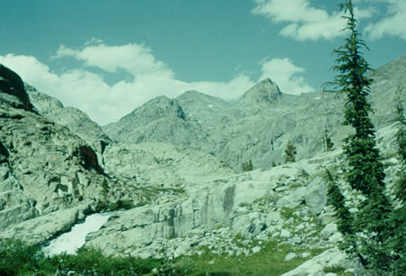
Looking upstream on North Fork San Joaquin
Ansel Adams Wilderness - Aug 1958
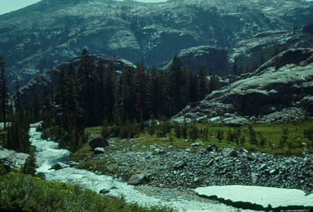
Looking downstream on North Fork San Joaquin
Ansel Adams Wilderness - Aug 1958
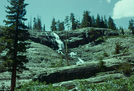
North Fork San Joaquin below Bench Canyon
Ansel Adams Wilderness - Aug 1958
The next day I proceeded along the steep valley slopes into Bench Canyon. As I approached its upper end it appeared that I was in a box canyon with no exit - but again, a break opened in the cliff and I made camp in good shape.
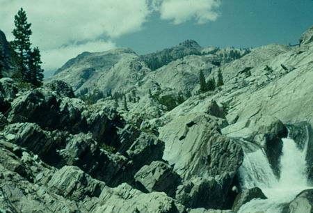
Looking up Bench Canyon - Ansel Adams Wilderness - Aug 1958
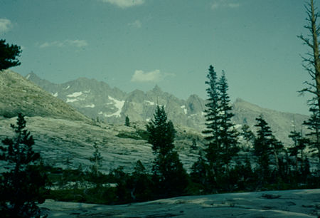
Looking toward Minarets from bench in Bench Canyon
Ansel Adams Wilderness - Aug 1958
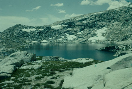
Blue Lake near Foerster Peak Pass - Ansel Adams Wilderness - Aug 1958
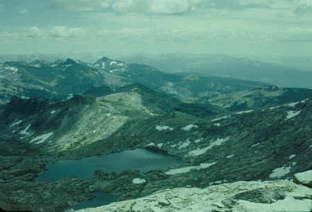
Looking across Blue Lake toward North Fork San Joaquin from Foerster
Peak Pass - Ansel Adams Wilderness/Yosemite National Park - Aug 1958
The next day involved crossing a "bouldery" pass next to Forester Peak and I took it slow. The views were great. Over the pass I dropped down toward the Merced River. Here I came upon a plateau which dropped off steeply to the river so I followed along the plateau until I intersected a trail near Lewis Creek where I made camp on some flat rocks after a tiring day.
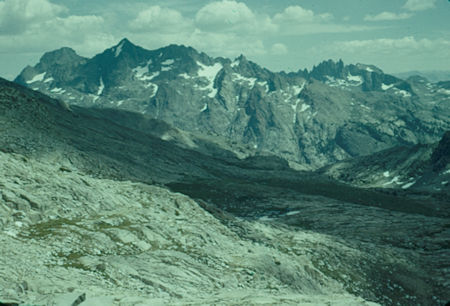
Minarets from Foerster Peak Pass
Ansel Adams Wilderness/Yosemite National Park - Aug 1958
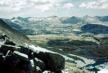
Looking over Foerster Peak Pass toward Merced River
Yosemite National Park - Aug 1958
I was beginning to tire of the lonesomeness of this trip so I charged on for sixteen miles the next day. Part of this was spent with some other hikers I met in-route as we passed Merced Lake and made camp in Little Yosemite Valley.
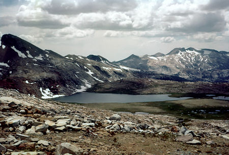
Harriet Lake - Yosemite National Park - Aug 1958
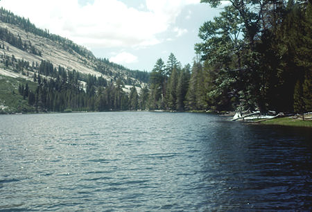
Merced Lake - Yosemite National Park - Aug 1958
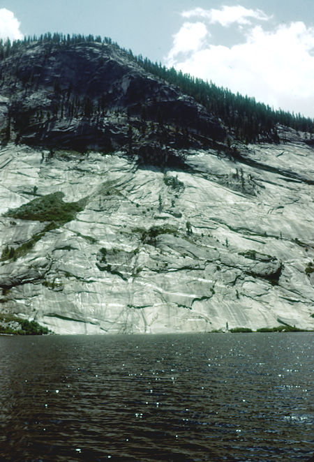
Merced Lake - Yosemite National Park - Aug 1958
The last day took me back up the familiar trail to Glacier Point. Having completed my hike early, I took time to visit Sentinel Dome, the Wawona Tunnel and then drove the old one lane Tioga Pass Road (now replaced by a modern paved highway). This was a pleasant drive through scenic country including Tenaya Lake. I descended the narrow winding Tioga Pass road to U.S. 395 and proceeded to Mammoth Lakes and Devil's Postpile which I explored including a visit to Rainbow Falls before heading for home.
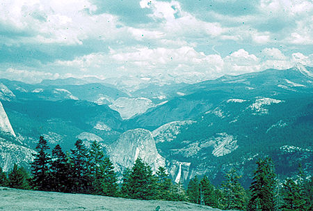
Merced Canyon from Sentinel Dome - Yosemite National Park Aug 1958
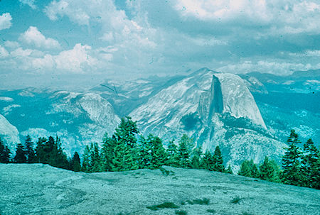
Half Dome from Sentinel Dome - Yosemite National Park Aug 1958
I stopped by the Devil's Postpile and Rainbow Falls on the way home.
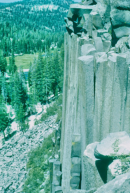
Devil's Postpile - Devil's Postpile National Monument Aug 1958
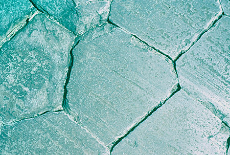
Devil's Postpile - Devil's Postpile National Monument Aug 1958
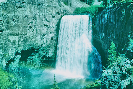
Rainbow Falls - Devil's Postpile National Monument Aug 1958