On June 9-11, 1961 myself, Jim Moore, Kevin Barry, John Butler and John Hooper climbed 13,715' Mt. Abbot.
Mount Abbot is a mountain in California's Sierra Nevada, in the John Muir Wilderness. It is located between Mount Mills and Mount Dade along the Sierra Crest and straddles the border between Fresno and Inyo counties.
The peak was named for Henry Larcom Abbot who, in 1855, was a member of the Williamson party of the Pacific Railroad Surveys in California and Oregon. He retired from the United States Army as a brigadier general in 1904.
We drove up from San Diego on Friday night and got an early start from the Rock Creek trailhead on Saturday. Hiked 4 miles to Treasure Lakes arriving at noon.
Left camp at 12:30 and climbed Mt. Abbot (11200' to 13,715') arriving on top at 6p.m. back in camp at 8:30p.m. just as it got dark - were we beat. The climb up to and along part of the main ridge above the snowfield is upper class 3 - approaches class 4 in spots.
Had a lazy Sunday - back to the cars at noon. Visited Hot creek and arrived home around 11p.m.
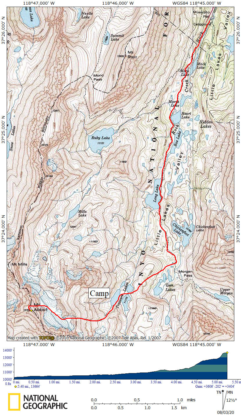
Mt. Abbot Route Map - Approximate Route in RED
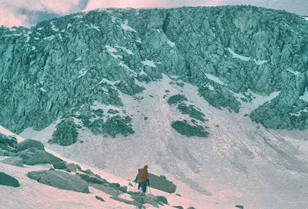
Route to climb Mt. Abbot ridge
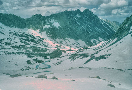
Mills Lake Basin from snow slope below Mt. Abbot (east slope)
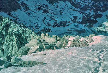
Looking back on ridge from near top of Mt. Abbot
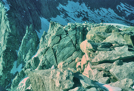
Looking back along Mt. Abbot ridge
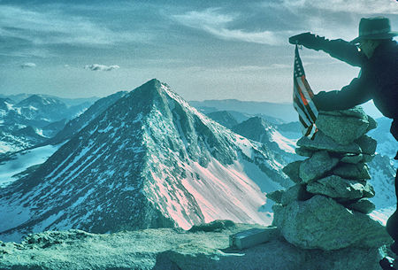
Mt. Gabb from top of Mt. Abott (Mt. Hilgard barely visible behind)
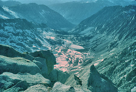
Mills Lake on Mills Creek leading into Second Recess (west slope)
from top of Mt. Abott
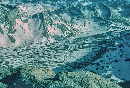
Frozen Lake Italy and Toe Lake from top of Mt. Abbot
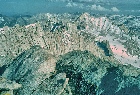
Mt. Dade and Bear Creek Spire from top of Mt. Abbot
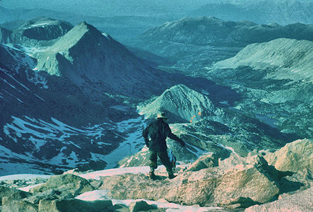
View east from top of Mt. Abbot
Mono Pass and Mt. Starr on left, Rock Creek on right