On August 19-27, 1966 I backpacked 67 miles with Explorer Post 360 (23 boys, 3 men) and Explorer Post 251 (9 boys, 3 men) (38 total) on a modified John Muir Trail Trek from Yosemite Valley to Reds Meadow. Fifteen of us climbed Half Dome on August 21, 1966. Thirteen climbed Mt. Lyell on August 25, 1966. Some 6 boys climbed Vogelsang Peak.
We road a bus to Yosemite Valley and started up the John Muir Trail from Happy Isles headed for Little Yosemite Valley where we camped.
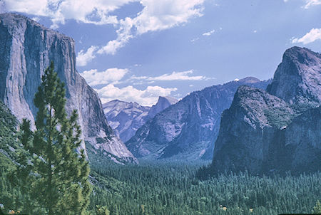
Yosemite Valley from Wawona Tunnel - Yosemite National Park 20 Aug 1966
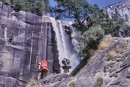
Vernal Falls - Yosemite National Park 20 Aug 1966
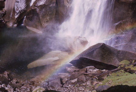
Vernal Fall - Yosemite National Park - 20 Aug 1966
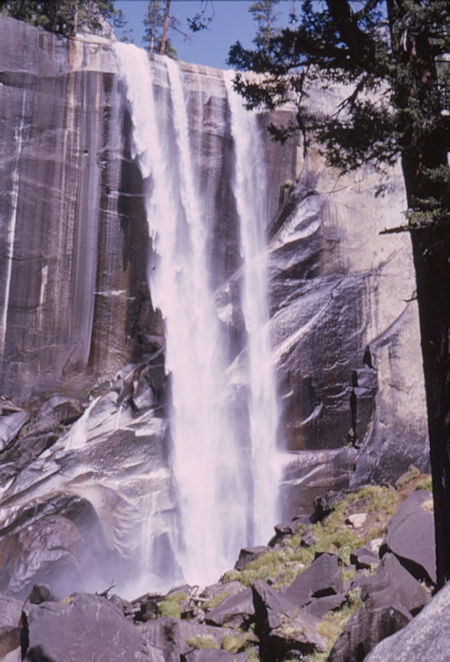
Vernal Fall from Mist Trail - Yosemite National Park - 20 Aug 1966
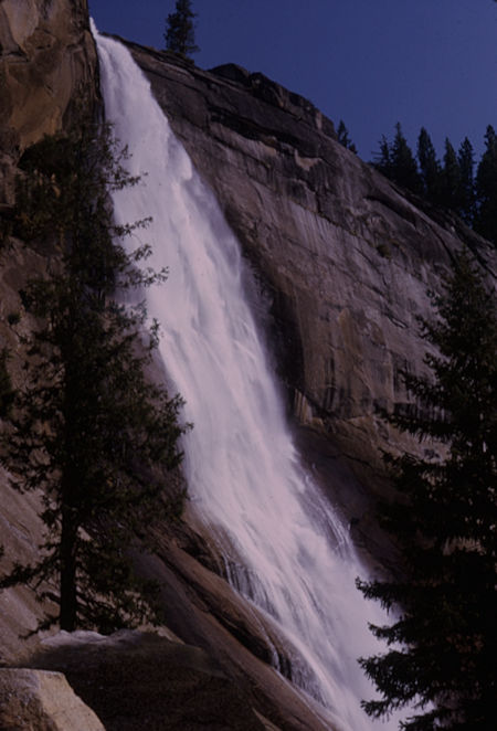
Nevada Fall from Mist Trail - Yosemite National Park - 20 Aug 1966
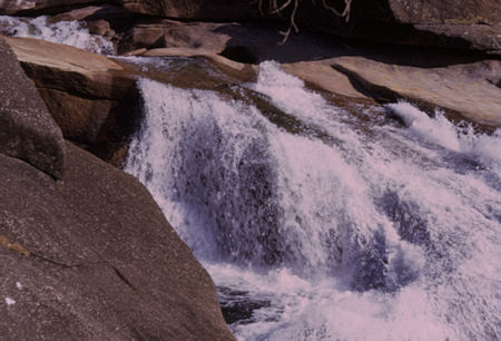
Top of Nevada Fall - Yosemite National Park - 20 Aug 1966
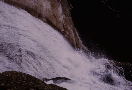
Looking down Nevada Fall - Yosemite National Park - 20 Aug 1966
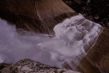
Looking down Nevada Fall - Yosemite National Park - 20 Aug 1966
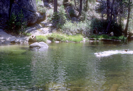
Swimming in Merced River at Little Yosemite Valley - John Muir Trail
Yosemite National Park - 21 Aug 1966
We climbed Half Dome on August 21, 1966 from our camp at Little Yosemite Valley.
Half Dome is a granite dome at the eastern end of Yosemite Valley in Yosemite National Park, California. It is a well-known rock formation in the park, named for its distinct shape. One side is a sheer face while the other three sides are smooth and round, making it appear like a dome cut in half. The granite crest rises more than 4,737 feet above the valley floor.
The impression from the valley floor that this is a round dome that has lost its northwest half, is just an illusion. From Washburn Point, Half Dome can be seen as a thin ridge of rock, an arête, that is oriented northeast-southwest, with its southeast side almost as steep as its northwest side except for the very top. Although the trend of this ridge, as well as that of Tenaya Canyon, is probably controlled by master joints, 80 percent of the northwest "half" of the original dome may well still be there.
Hikers use cables to ascend Half Dome. As late as the 1870s, Half Dome was described as "perfectly inaccessible" by Josiah Whitney of the California Geological Survey. The summit was finally reached by George G. Anderson in October 1875, via a route constructed by drilling and placing iron eyebolts into the smooth granite.
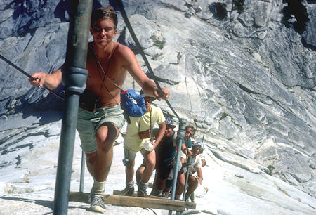
Steve Henderson leads Explorer Post 360 group climbing the cables on Half Dome
Yosemite National Park - 21 Aug 1966
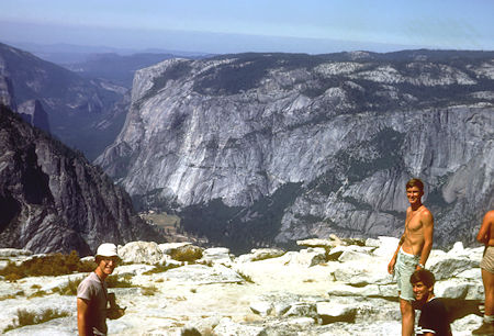
Art Ravenscroft, Steve and Scott Henderson on top of Half Dome
Teneya Canyon and Washington Column - Yosemite National Park - 21 Aug 1966
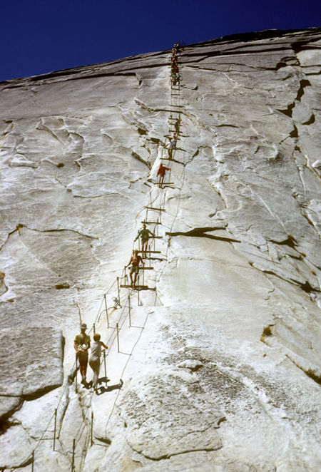
The cables going up Half Dome - Yosemite National Park - 21 Aug 1966
Click Here For More Half Dome
Instead of following the John Muir Trail to Tuolumne Meadows we took an alternate route up the Merced River and rejoined the John Muir Trail in the Lyell Canyon.
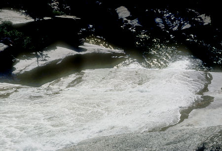
Merced River - Yosemite National Park - 21 Aug 1966
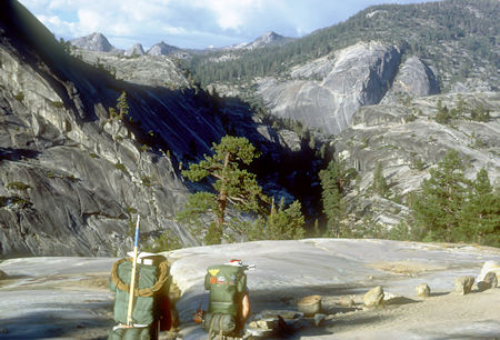
View up Merced Canyon - Yosemite National Park - 21 Aug 1966
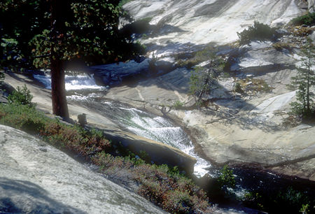
Merced River - Yosemite National Park - 22 Aug 1966
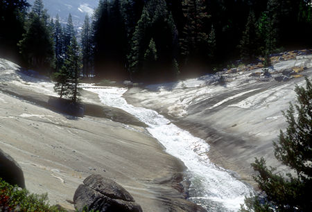
Merced River - Yosemite National Park - 22 Aug 1966
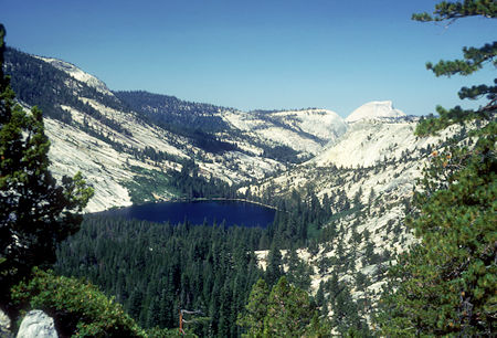
Merced Lake, Half Dome - Yosemite National Park - 22 Aug 1966
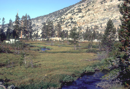
Head of Lewis Creek - Yosemite National Park - 23 Aug 1966
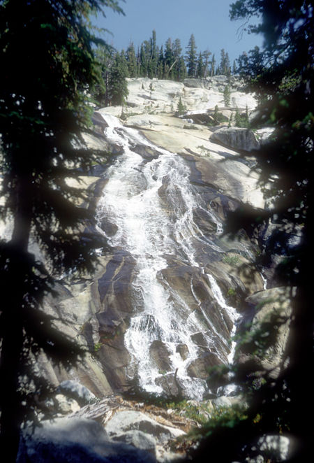
Florence Creek - Yosemite National Park - 23 Aug 1966
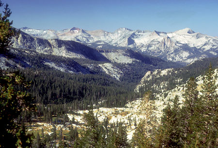
Lewis Creek - Yosemite National Park - 23 Aug 1966
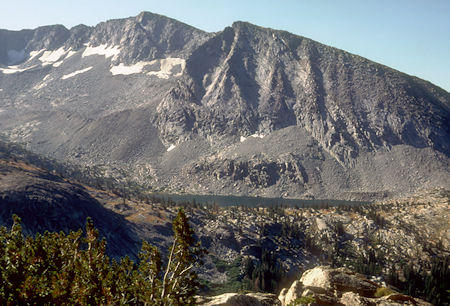
Bernice Lake, Mt. Florence - Yosemite National Park - 23 Aug 1966
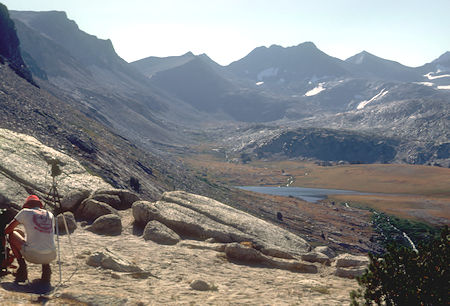
Gallison Lake - Yosemite National Park - 23 Aug 1966
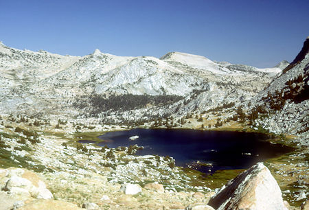
Vogelsang Lake - Yosemite National Park - 23 Aug 1966
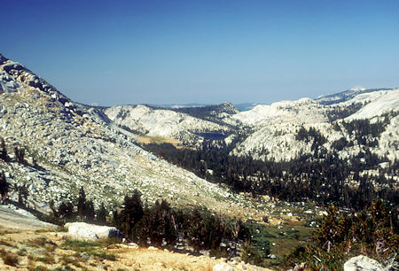
Fletcher Creek, Emeric Lake - Yosemite National Park - 23 Aug 1966
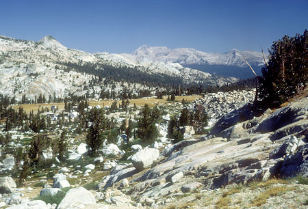
Vogelsang Camp - Yosemite National Park - 23 Aug 1966

Vogelsang Camp - Yosemite National Park - 23 Aug 1966
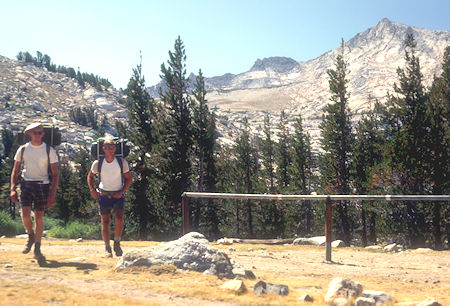
Vogelsang Camp, Vogelsang Peak - Yosemite National Park - 23 Aug 1966
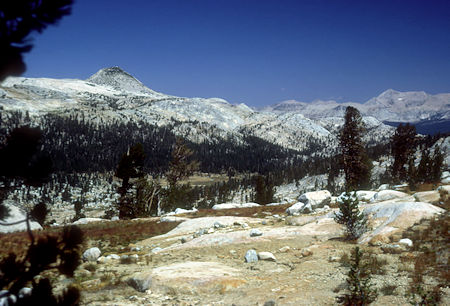
Rafferty Creek - Yosemite National Park - 23 Aug 1966
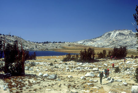
Evelyn Lake - Yosemite National Park - 23 Aug 1966
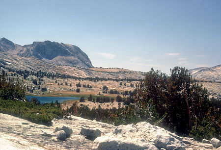
Looking back toward Evelyn Lake - Yosemite National Park - 23 Aug 1966
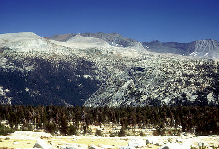
Kuna Crest - Yosemite National Park - 23 Aug 1966
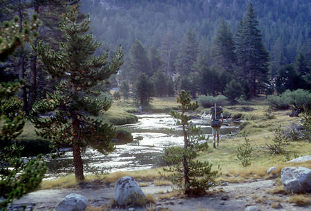
Lyell Fork Tuolumne River - John Muir Trail - Yosemite National Park - 24 Aug 1966
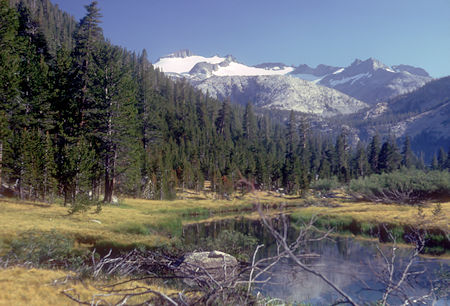
Mount Lyell, Lyell Fork Tuolumne River - John Muir Trail
Yosemite National Park - 24 Aug 1966
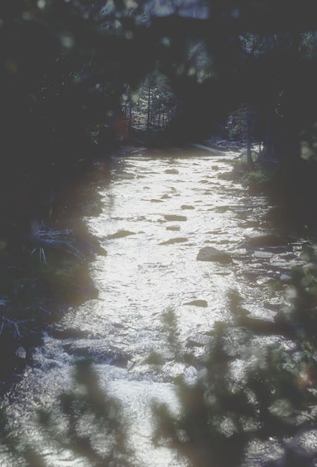
Lyell Fork Tuolumne River - John Muir Trail - Yosemite National Park - 24 Aug 1966
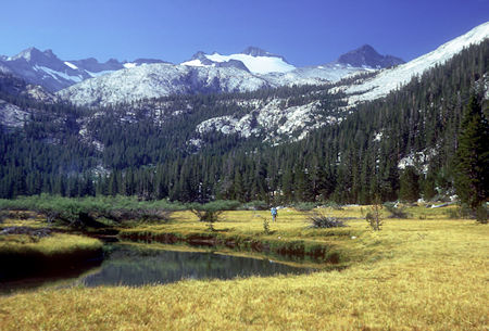
Mount Lyell, Lyell Fork Tuolumne River - John Muir Trail
Yosemite National Park - 24 Aug 1966
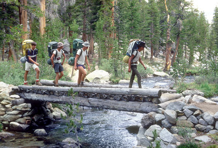
Crossing Lyell Fork Tuolumne River at Middle Lyell Base Camp
John Muir Trail - Yosemite National Park - 24 Aug 1966
We climbed Mount Lyell on August 25, 1966 from our camp at Upper Lyell Base Camp.
Mount Lyell is the highest point in Yosemite National Park, at 13,114 feet. It is located at the southeast end of the Cathedral Range, 1.2 miles northwest of Rodgers Peak. The peak as well as nearby Lyell Canyon is named after Charles Lyell, a well-known 19th century geologist. The first ascent was on August 29, 1871 by John Boies Tileston.
The peak had one of the last remaining glaciers in Yosemite, Lyell Glacier. The Lyell Glacier is currently considered to be a permanent ice field, not a living glacier.
Mount Lyell divides the Tuolumne River watershed to the north, the Merced to the west, and the Rush Creek drainage in the Mono Lake Basin to the southeast.
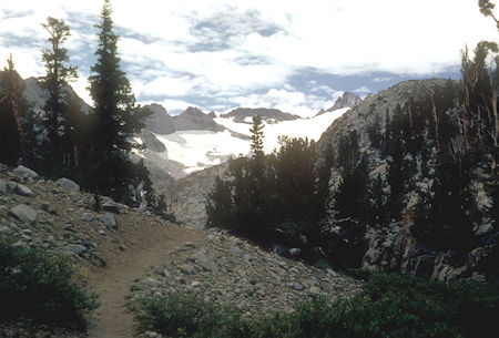
Mount Lyell from just before Upper Lyell Base Camp - John Muir Trail
Yosemite National Park - 24 Aug 1966
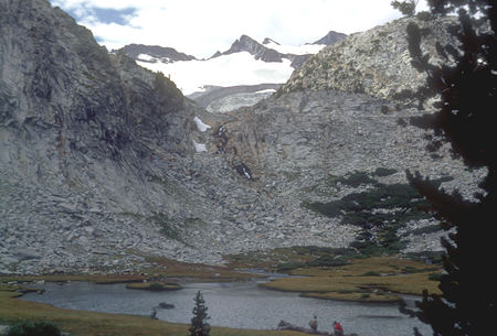
Mount Lyell from Upper Lyell Base Camp - John Muir Trail
Yosemite National Park - 24 Aug 1966
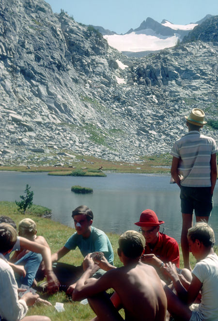
Mount Lyell, Card game at Upper Lyell Base Camp - John Muir Trail
Yosemite National Park - 24 Aug 1966
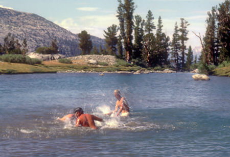
Swimming at Upper Lyell Base Camp - John Muir Trail
Yosemite National Park - 24 Aug 1966
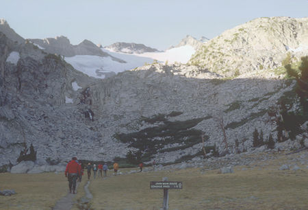
Heading out to climb Mount Lyell from Upper Lyell Base Camp
Yosemite National Park - 25Aug 1966
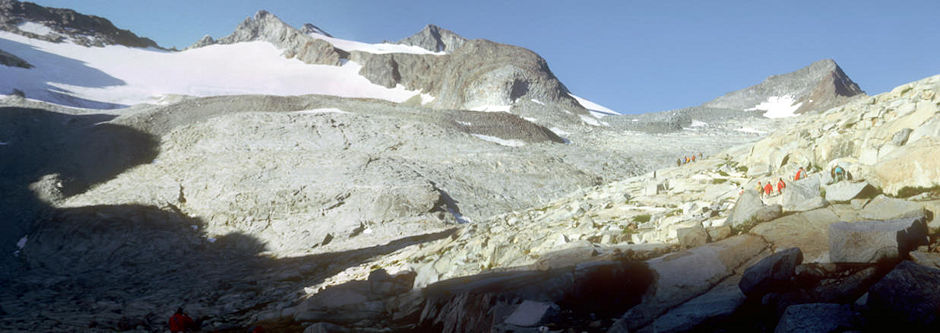
On the way up Mount Lyell - Yosemite National Park - 25 Aug 1966
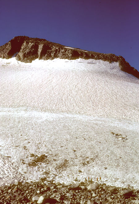
Mount Lyell - Yosemite National Park - 25 Aug 1966
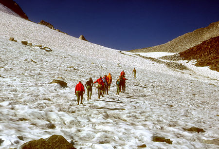
Crossing Mount Lyell glacier - Yosemite National Park - 25 Aug 1966
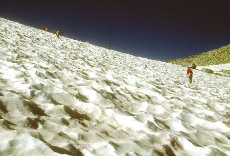
Crossing Mount Lyell glacier - Yosemite National Park - 25 Aug 1966
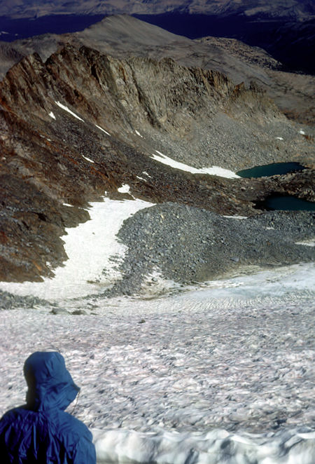
Amelia Earhart Peak and Potter Point from Mount Lyell glacier
Yosemite National Park - 25 Aug 1966
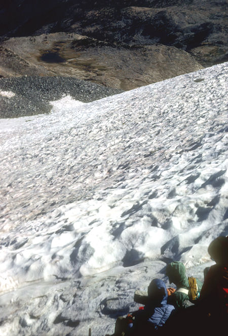
Camp from Mount Lyell glacier - Yosemite National Park - 25 Aug 1966
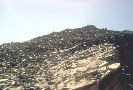
Approaching top of Mount Lyell - Yosemite National Park - 25 Aug 1966
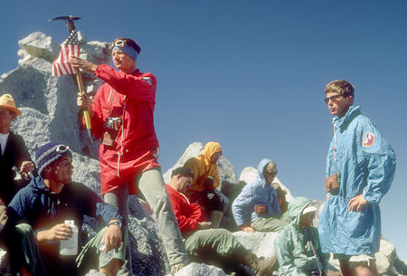
Explorer Post 360 on top of Mount Lyell - Yosemite National Park - 25 Aug 1966
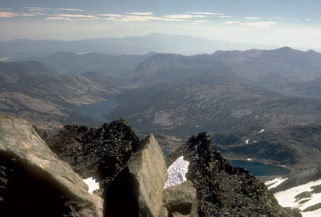
Marie Lakes (right) and Waugh Lake (left) from top of Mount Lyell
Yosemite National Park - 25 Aug 1966
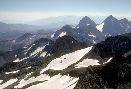
Banner Peak (left) and Mt. Ritter (right) from top of Mount Lyell
Yosemite National Park - 25 Aug 1966
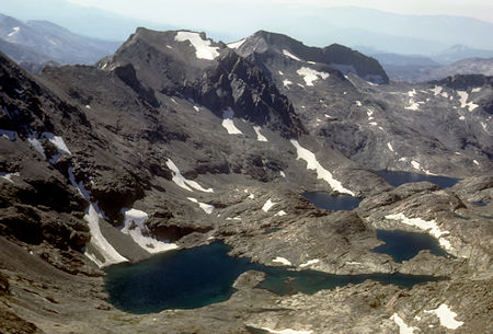
Lyell Fork Hutchings Creek Basin, Electra Peak from top of Mount Lyell
Yosemite National Park - 25 Aug 1966
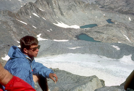
Lyell Glacier and moraine from top of Mount Lyell - Yosemite National Park - 25 Aug 1966
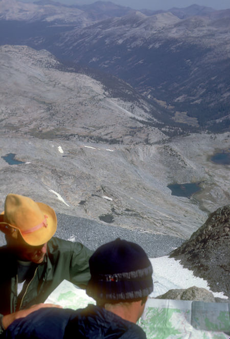
Lyell Canyon from top of Mount Lyell - Yosemite National Park - 25 Aug 1966
The next day we headed over Donahue Pass.
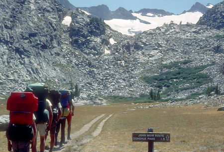
On the trail to Donahue Pass, Mount Lyell - John Muir Trail
Yosemite National Park - 26 Aug 1966
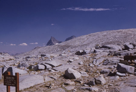
Donahue Pass - Yosemite National Park/Ansel Adams Wilderness - 26 Aug 1966
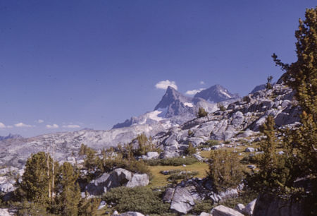
Banner Peak and Mt. Ritter - Ansel Adams Wilderness - 26 Aug 1966
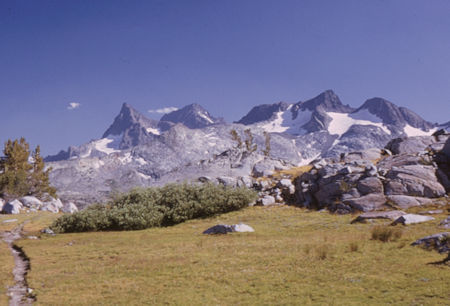
Banner Peak, Mt. Ritter, Mt. Davis - Ansel Adams Wilderness - 26 Aug 1966
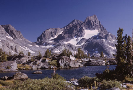
Banner Peak (rear), Mt. Ritter from near Island Pass
Ansel Adams Wilderness - 26 Aug 1966
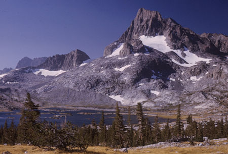
Banner Peak, Thousand Island Lake - Ansel Adams Wilderness - 26 Aug 1966
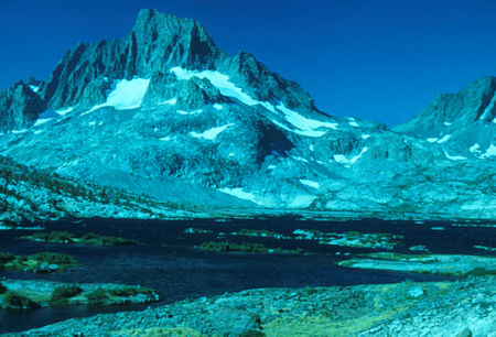
Banner Peak, Banner/Davis Pass, 1000 Island Lake - Ansel Adams Wilderness - 26 Aug 1966
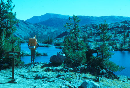
Emerald Lake - Ansel Adams Wilderness - 26 Aug 1966
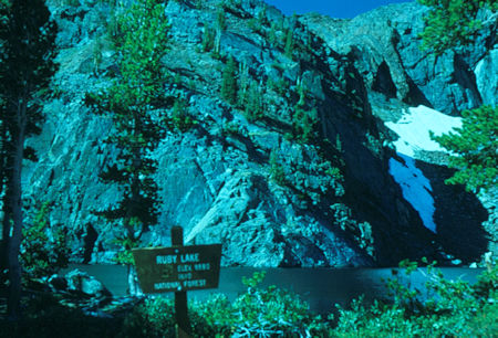
Ruby Lake - Ansel Adams Wilderness - 26 Aug 1966
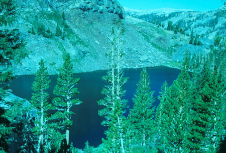
Ruby Lake - Ansel Adams Wilderness - 26 Aug 1966
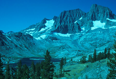
Mt. Ritter, Banner Peak over Garnet Lake - Ansel Adams Wilderness - 26 Aug 1966
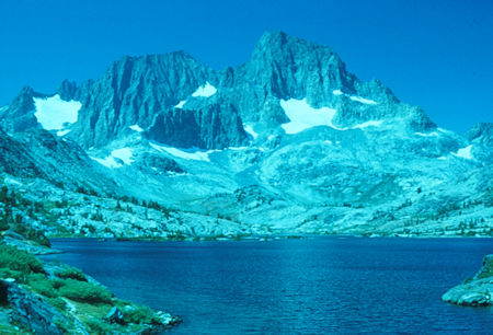
Mt. Ritter, Banner Peak over Garnet Lake - Ansel Adams Wilderness - 26 Aug 1966
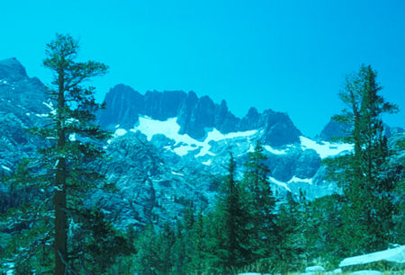
Minarets - Ansel Adams Wilderness - 26 Aug 1966
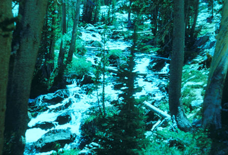
Shadow Creek - Ansel Adams Wilderness - 26 Aug 1966
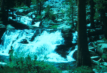
Shadow Creek waterfall - Ansel Adams Wilderness - 26 Aug 1966
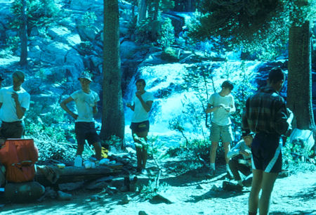
Shadow Creek camp - Ansel Adams Wilderness - 26 Aug 1966
The next day we continued to Red's Meadow and Devil's Postpile.
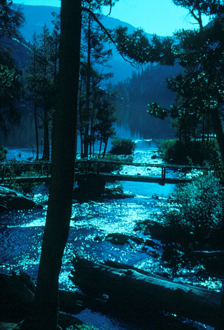
Shadow Lake - Ansel Adams Wilderness - 27 Aug 1966
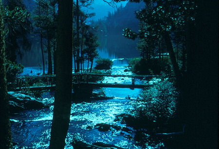
Shadow Lake - Ansel Adams Wilderness - 27 Aug 1966
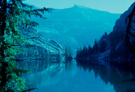
Shadow Lake - Ansel Adams Wilderness - 27 Aug 1966
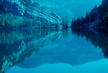
Shadow Lake - Ansel Adams Wilderness - 27 Aug 1966
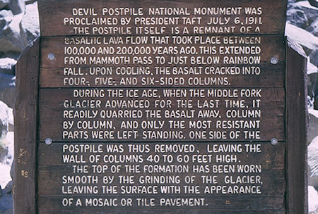
Devil's Postpile Information - Devil's Postpile National Monument 27 Aug 1966
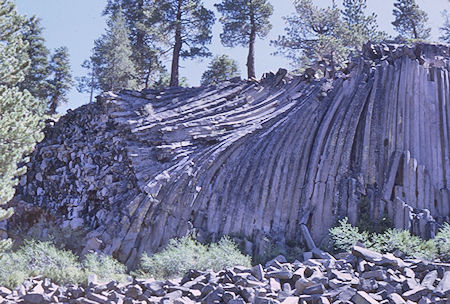
Devil's Postpile - Devil's Postpile National Monument 27 Aug 1966