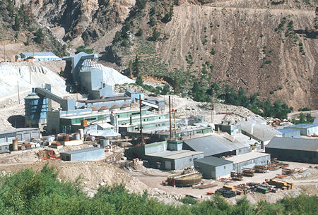
Union Carbide Pine Creek Mill at the trailhead - 04 Jul 1975
On July 4-6, 1975 myself, Gordon Lee, John Lee, Kim Breedlove, Scott Morton, Brian Jordan and two "Cubic" friends of Scott's climbed 13,253' Royce Peak on an 18 mile round trip backpack.
The San Diego crew drove up to my house in Lone Pine Thursday night and were all aboard by about 11:30 p.m. and we hit the sack.
We got up up at 6 a.m. and after breakfast hit the road for Pine Creek where we arrived about 9 a.m. or so. We hit the trail in fine shape, taking advantage of numerous water stops on the lower trail and along the Brownstone Mine road.
Great views of Pine Creek and cascades and the the Union Carbide Tungsten Mine.
Gordon and I stopped for a long snack just below the Brownstone Mine where a pipe had been placed in the rock to tap underground water.
Shortly we left the mine road and continued on trail to Lower Pine Lake where we caught up with the rest of the crew and ate lunch about 1 p.m.
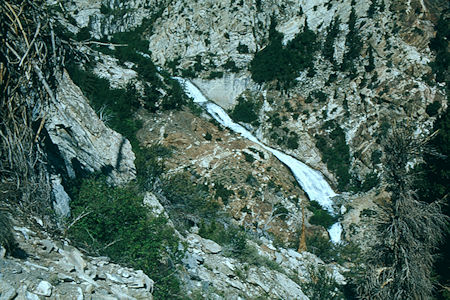
Pine Creek - John Muir Wilderness 04 Jul 1975
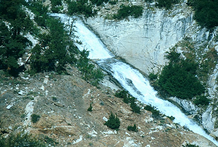
Pine Creek - John Muir Wilderness 04 Jul 1975
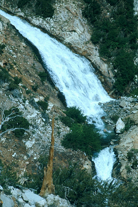
Pine Creek - John Muir Wilderness 04 Jul 1975
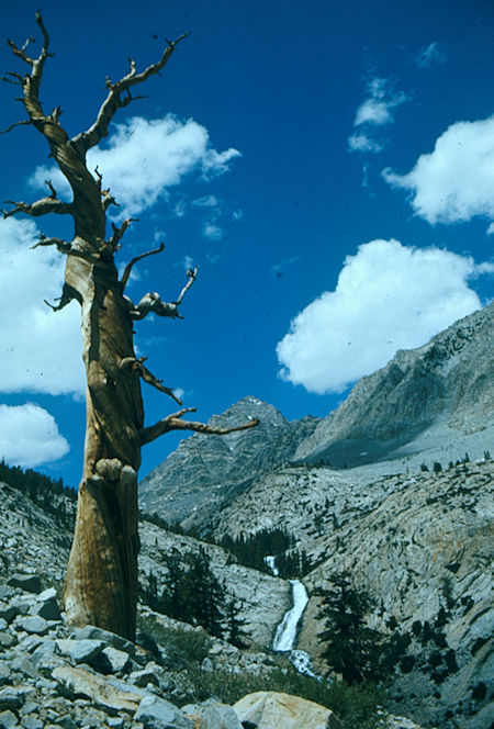
Pine Creek - John Muir Wilderness 04 Jul 1975
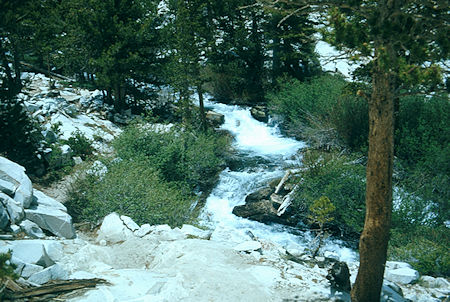
Pine Creek - John Muir Wilderness 04 Jul 1975
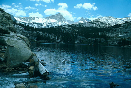
Lower Pine Lake - John Muir Wilderness 04 Jul 1975
After a nice rest we hit the trail again. When crossing the stream above Lower Pine Lake we got off the trail and soon found myself, Gordon, Kim and John wandering around. Climbing a low ridge I located upper Pine Lake and the trail - but we miss-placed John - Kim went out and found John and in the process aggravated a knee problem. With Kim limping along (as fast as I wanted to hike with no injury) we continued on to Pine Creek Pass where we arrived about 5 p.m. and found the rest of the gang.
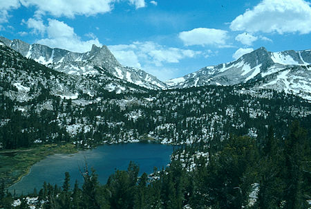
Upper Pine Lake, Pine Creek Pass - John Muir Wilderness 04 Jul 1975
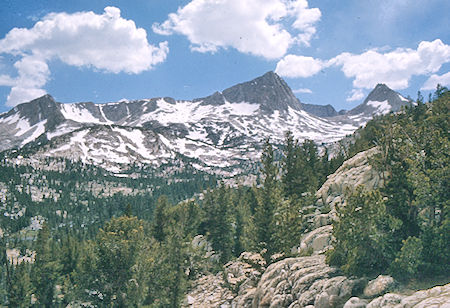
View toward Royce Lake Pass - John Muir Wilderness 04 Jul 1975
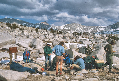
Pine Creek Pass - John Muir Wilderness 04 Jul 1975
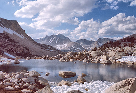
Lake on Pine Creek Pass - John Muir Wilderness 04 Jul 1975
After a rest we continued cross-country over easy terrain to Royce Lake #2 where we arrived around 7 p.m. Two other parties were camped on the hill nearby but we made use of some rough campsites closer to the lake. After making camp we fixed supper and finally got to bed about 10 p.m. after a hard day.
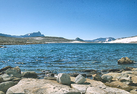
Royce Lake #2, Mt. Humphrey (left skyline) - John Muir Wilderness 05 Jul 1975
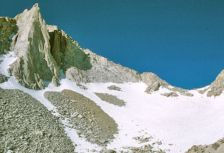
Mirriam Peak, Merriam-Royce Pass - John Muir Wilderness 05 Jul 1975
Gordon got us going around 5:30 in the morning and after breakfast we hit the trail (route) for Merriam and Royce Peaks. John & Kim headed up the snow toward Royce/Merriam Pass and turned toward a chute and after some rock climbing made the ridge and on to Merriam Peak.
Gordon and I headed directly for the Pass, followed later by Scott and Brian. From the easy pass Gordon and I headed for Royce Peak while Scott and Brian headed for Merriam Peak. Brian's knee gave him some trouble on top of Merriam Peak so he headed back to camp while John, Kim and Scott also climbed Royce Peak where Gordon and I waited.
Royce Peak is located just over French Canyon, between the North Lake trailhead and the Pine Creek trailhead. Royce Peak's remote location makes it a very long day hike, but it can be easily done as part of an overnight.
The easiest route up is a class 2 traverse from the saddle between Royce Peak and Merriam Peak, which can be approached either from the east or west. From the tallest of the three summits on Royce one commands a view of a 10 square mile area. Stretching from Bear Creek Spire in the North to Mt Darwin in the South, Mt Tom in the East and Mt Hooper to the west.
First ascent June 23, 1931 by Nathan Clark and Roy Crites.
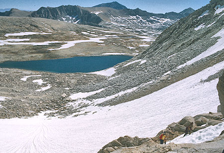
Royce Lake #2 from Merriam-Royce Pass - John Muir Wilderness 05 Jul 1975
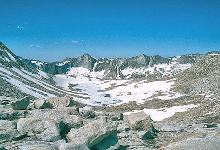
West of Merriam-Royce Pass - John Muir Wilderness 05 Jul 1975
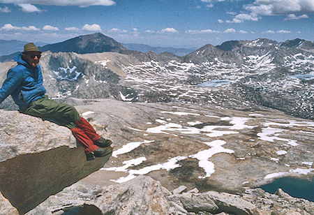
Gordon Lee, Mt. Tom, Pine Creek Pass, Royce Lake #2 from Royce Peak
John Muir Wilderness 05 Jul 1975
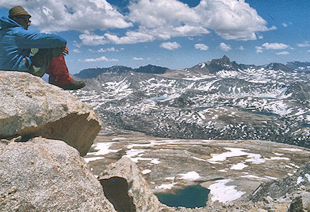
Gordon Lee, Mt. Humphrey, Royce Lake #2 from Royce Peak
John Muir Wilderness 05 Jul 1975
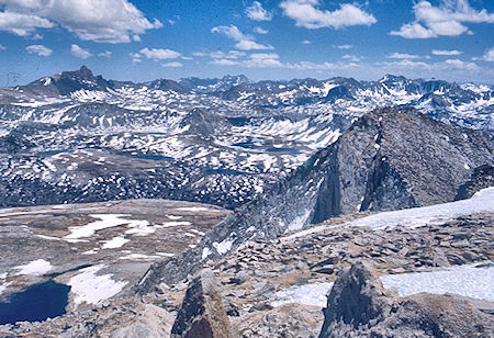
Mt. Humphrey (left skyline), Royce Lake #2, Merriam Peak from Royce Peak
John Muir Wilderness 05 Jul 1975
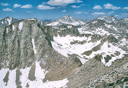
Feather Peak north of Royce Peak - John Muir Wilderness 05 Jul 1975
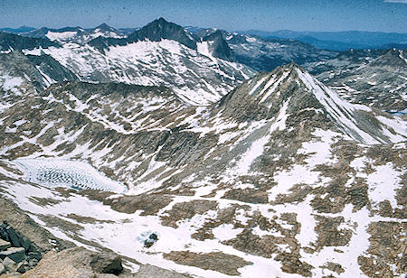
Seven Gables, pass from Bear Lakes basin to Merriam Lake basin from Royce Peak
John Muir Wilderness 05 Jul 1975
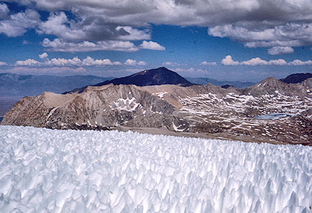
Mt. Tom and snow on Royce Peak - John Muir Wilderness 05 Jul 1975
Kim's knee wasn't giving him significant trouble. While climbing to the pass we caught and passed a group of four high school/college age boys from Connecticut who had been camped on the hill and who were backpacking over the pass to Merriam Lake. They were having a great time. Three of them also climbed Royce Peak.
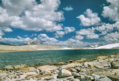
Mt. Humphrey (left skyline), Royce Lake #2 - John Muir Wilderness 05 Jul 1975
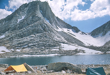
Merriam Peak, Merriam Peak/Royce Peak pass from camp at Royce Lake #2
John Muir Wilderness 05 Jul 1975
The five of us on Royce Peak descended to camp together after spending a couple hours on the peak. Made camp around 3:30 p.m. and took a short nap before fixing supper. After supper we strolled over to the lower end of the lake where we could look down on Royce Lake #1 - didn't appear to have any very good campsites and only some scrub bushes. The two none climbers had tried a little fishing without much luck. There are fish.
We got to bed fairly early and were up at 5:30 again the next morning. After breakfast and packing up we headed over easy terrain for the outlet saddle of Royce Lake #4. Lake number 3 was mostly frozen, and Lakes 4 and 5 were fully frozen. Great views back at Royce Peak and Merriam Peak. Good campsites at #4 later in the season.

Mt. Humphrey, Royce Lake plateau, Royce Lake #2, Merriam Peak, Merriam/Royce Pass - John Muir Wilderness 06 Jul 1975
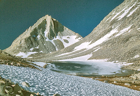
Merriam Peak, Royce Lake #3 - John Muir Wilderness 06 Jul 1975
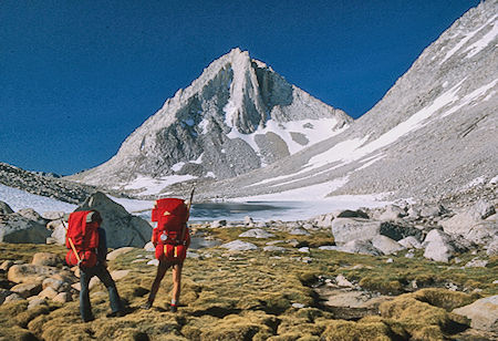
Merriam Peak, Royce Lake #3 - John Muir Wilderness 06 Jul 1975
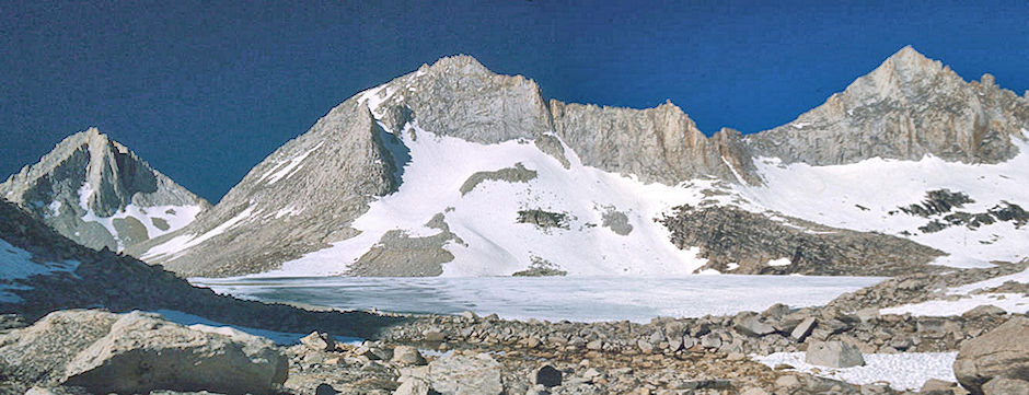
Merriam Peak, Royce Peak, Royce Lake #4, Feather Peak - John Muir Wilderness 06 Jul 1975
From the "saddle" we had good views of Honeymoon and Upper Pine Lakes - and a great route down to the Italy Pass trail. Also would be a good route into the area - probably best to take Pine Creek Pass Trail to Golden Lake, then contour over to this route.
As we neared Honeymoon Lake on the easy descent, we go a little too far to the right and had to work around some rocks, It would be best to stay to the right of all streams and work more toward the Pine Creek Pass trail.
We had good views of Honeymoon Lake as we hit the Italy Pass trail and followed it around the lake. Soon we hit the Pine Creek Pass Trail and descended to Upper and Lower Pine Creek Lake. We stopped at Lower Pine Creek Lake for lunch and Kim and John did a high dive into the lake off one of the rocks. Something to be done only by experienced high divers and strong swimmers. We hit the final trail about 1 p.m. and arrived at the cars in fine shape around 2:30. (We may have been earlier). We headed home after an outstanding trip. Great scenery - few bugs - good peaks.
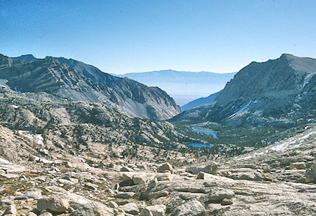
Honeymoon Lake, Upper Pine Creek Lake from 'Royce' Pass
John Muir Wilderness 06 Jul 1975
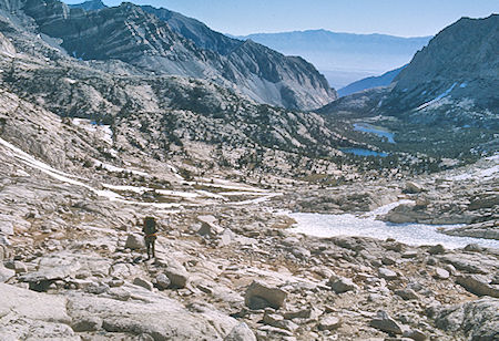
Honeymoon Lake, Upper Pine Creek Lake from 'Royce' Pass
John Muir Wilderness 06 Jul 1975
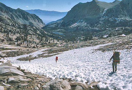
Descending to Honeymoon Lake from 'Royce' Pass - John Muir Wilderness 06 Jul 1975
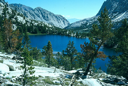
Honeymoon Lake - John Muir Wilderness 06 Jul 1975