On August 22-29, 1981 myself and Jim White backpacked sixty sevem miles starting at Cottonwood Lakes and exiting at Shepherd Pass (Symmes Creek). Along the way we climbed Mount Whitney (my fourth time, Jim's first).

This was supposed to be the annual Deck Trek with six people, however, John Roberts couldn't go because his football coach wouldn't let him off and Matt Hastings, Mark Budke and Larry Ellis got in trouble with the law (the Pepper Caper) and couldn't go. That left Jim White and I and we enjoyed the trip.
Friday, Jim got a call from friends down south asking for help with a car shuttle on Friday night. They finally arrived about midnight and wanted a shuttle from South Lake. Jim finally got home about 3:30 a.m. in the morning. When his alarm went off Saturday morning he rolled over and went back to sleep. He woke up about 8 a.m. - the time he was supposed to be at my house. He still had to pack so it was 9:30 by the time he got to Lone Pine.
Vincent Yoder, manager of the apartment house I lived in, rode up to Horseshoe Meadows roadhead with Jim and I and after taking a day hike brought my car down for the Jim's parents to shuttle to the Shepherd Pass trailhead.
Jim and I were on the trail about 10:15 or so. We stopped at the first creek for lunch and Jim needed a nap. I headed up the trail about 2:30 and Jim set his alarm watch to wake him up at 1:00. He woke up before the alarm went off and soon jointed me on Cottonwood Pass. His lack of sleep, etc. was beginning to tell on him so he wasn't feeling too good as we continued on the trail past Chicken Spring Lake. We arrived at the planned campsite about 5 p.m. and found water in the creek (something I wasn't sure of in this dry year). Another couple was camped nearby which also was a surprise. Jim was really wiped out so I put him to bed and fixed him some soup and vegetables. He then rested a while before fixing the rest of supper, finishing the dishes in the dark.
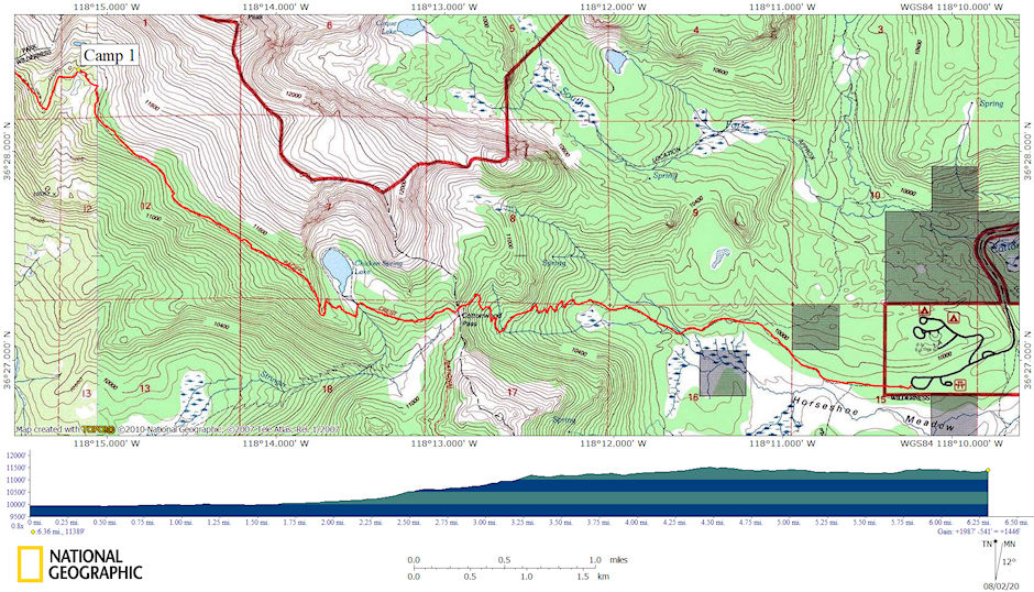
1981 Deck Trek Day 1 map
Sunday we got off to a slow start but hit the trail about 10:30. The trail today was mostly downhill which helped. We arrived at the Army Pass trail junction about noon and had lunch and a nice rest. We then headed down the trail to Rock Creek and continued a pleasant hike down the creek. About 3 p.m. we arrived at the Pacific Crest trail junction on Rock Creek and found a nice campsite on the nearby creek - cold pure water. We made camp, washed clothes and rested up before supper. During the evening we saw deer in the beautiful meadow our camp overlooked. We hung the food from bears.
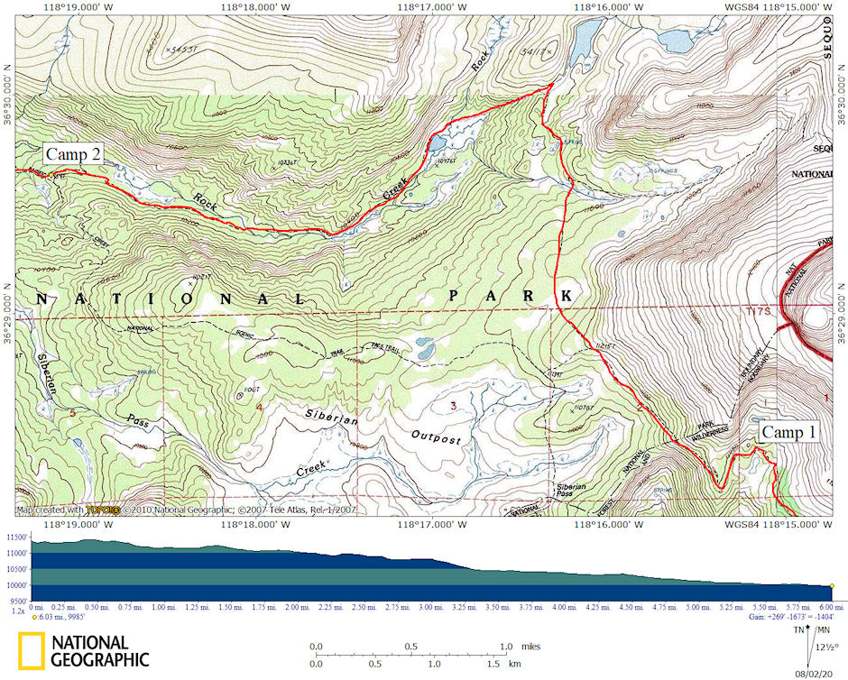
1981 Deck Trek Day 2 map
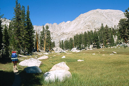
On the trail to Rock Creek (south) - Sequoia National Park 24 Aug 1981
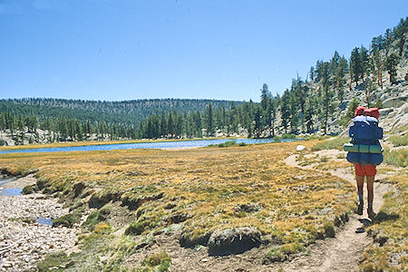
Upper Rock Creek Lake - Sequoia National Park 24 Aug 1981
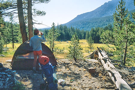
Second night camp on Rock Creek - Sequoia National Park 24 Aug 1981
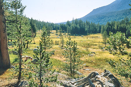
Meadow near camp - Sequoia National Park 24 Aug 1981
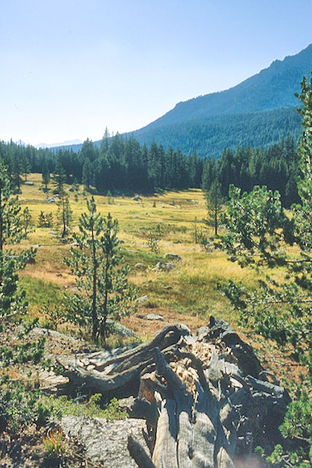
Meadow near camp - Sequoia National Park 24 Aug 1981
Monday we continued down Rock Creek and up to Guyot Creek where we stopped for lunch. We continued over Guyot Saddle and after another food stop headed for Lower Crabtree Meadow where we arrived about 3 or 4 p.m. We found a campsite along the creek and set up camp. I took a bath and washed clothes in the creek and then took a nap before supper. After some difficulties we were able to hang the food from bears.
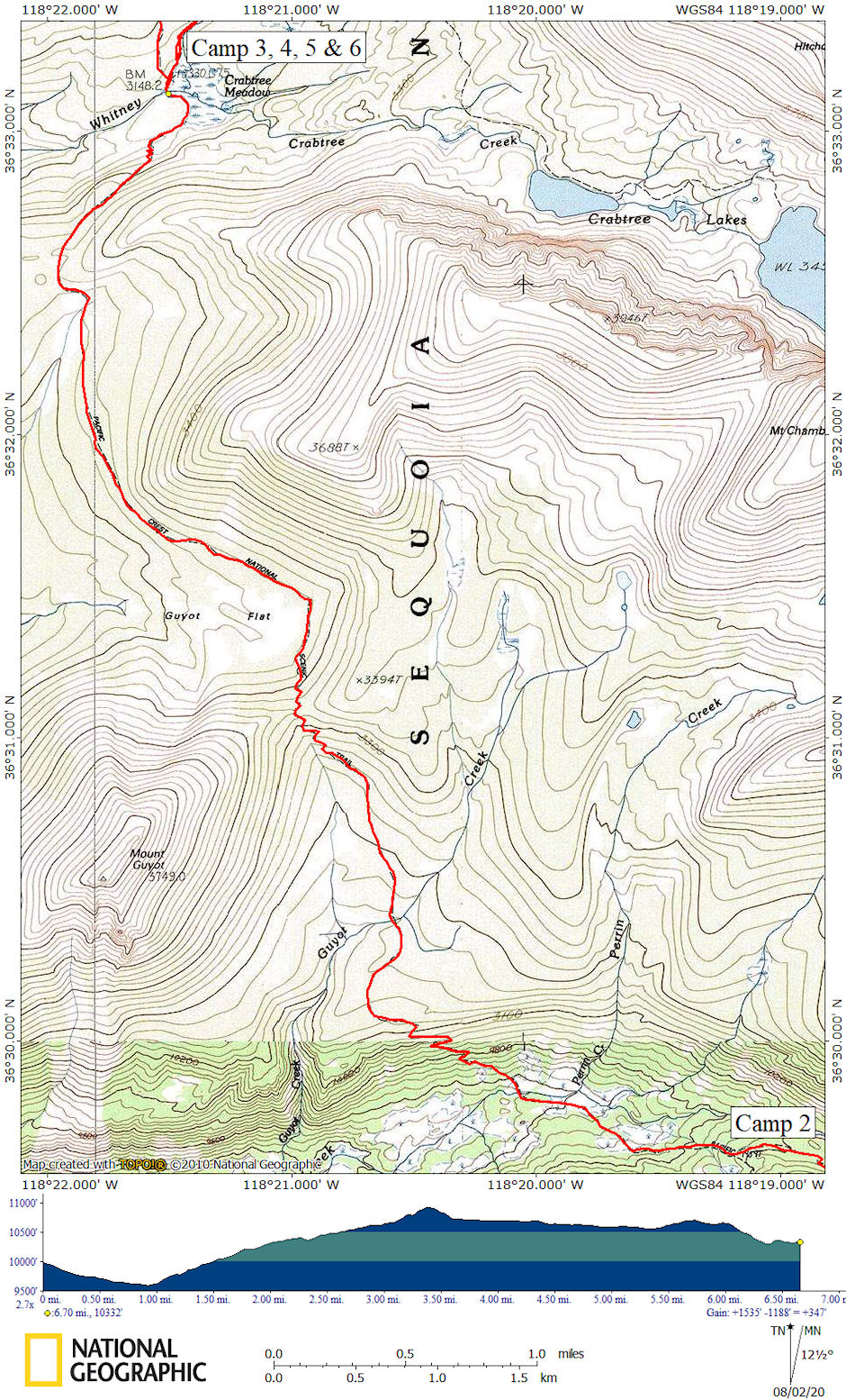
1981 Deck Trek Day 3 map
Tuesday was a layover day in preparation for the climb of Mt. Whitney. Stan and Robbie Haye who we had expected to show up Monday had not arrived. It turned out they had decided not to come and had sent a message out via packer but it never reached me. I took it easy washing clothes, burning trash, and taking a nap.
Meanwhile Jim took a hike to climb Mt. Hitchcock and visit the Crabtree Lakes. About 4 p.m. I decided to hike up to the Ranger Station to see if Stan had gone there by chance and to get some exercise myself. I returned about 5 p.m. without finding Stan and Jim returned about 6 p.m. after a good hike. After supper we hit the sack early. By the way a bird or something got into Jim's lunch cookies in the bear bag again just like on the Milestone 1981 trip.
Wednesday, August 26, 1981, Jim got on the trail for Whitney about 7:45 and I followed about 8:00. Jim made good time and was on top about noon. I stopped at the Guitar Lake creek for food about 10:00 and made the Trail Crest junction about noon where I ate lunch and headed for the peak about 1p.m.
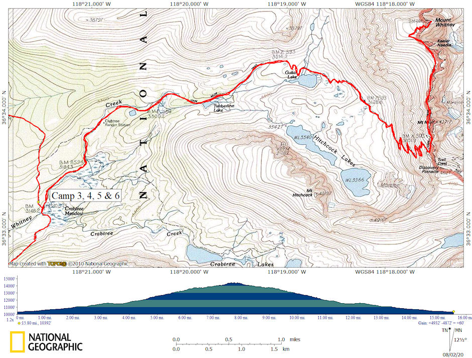
1981 Deck Trek Day 5 map
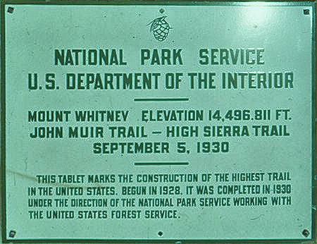
Plaque on top of Mount Whitney. Note: Actual elevation currently is listed as 14,505'
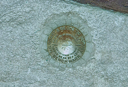
Geodetic survey bench mark
Mount Whitney is the tallest mountain in the contiguous United States and the Sierra Nevada, with an elevation of 14,505 feet. It is located in East–Central California, on the boundary between California's Inyo and Tulare counties, 84.6 miles west-northwest of the lowest point in North America at Badwater Basin in Death Valley National Park at 282 feet below sea level.
The west slope of the mountain is in Sequoia National Park and the summit is the southern terminus of the John Muir Trail which runs 211.9 mi from Happy Isles in Yosemite Valley. The east slope is in the Inyo National Forest in Inyo County.
The estimated elevation of the summit of Mount Whitney has changed over the years. The technology of elevation measurement has become more refined and, more importantly, the vertical coordinate system has changed. The peak was commonly said to be at 14,494 ft and this is the elevation stamped on the USGS brass benchmark disk on the summit. An older plaque on the summit (sheet metal with black lettering on white enamel) reads "elevation 14,496.811 feet" but this was estimated using the older vertical datum (NGVD29) from 1929. Since then the shape of the Earth (the geoid) has been estimated more accurately. Using a new vertical datum established in 1988 (NAVD88) the benchmark is now estimated to be at 14,505 ft.
The summit of Mount Whitney is on the Sierra Crest and the Great Basin Divide. It lies near many of the highest peaks of the Sierra Nevada. The peak rises dramatically above the Owens Valley, sitting 10,778 feet or just over two miles above the town of Lone Pine 15 miles to the east, in the Owens Valley. It rises more gradually on the west side, lying only about 3,000 feet above the John Muir Trail at Guitar Lake.
The mountain is partially dome-shaped, with its famously jagged ridges extending to the sides. Mount Whitney is above the tree line and has an alpine climate and ecology. Very few plants grow near the summit: one example is the sky pilot, a cushion plant that grows low to the ground. The only animals are transient, such as the butterfly Parnassius phoebus and the gray-crowned rosy finch.
In July 1864, the members of the California Geological Survey named the peak after Josiah Whitney, the State Geologist of California and benefactor of the survey. During the same expedition, geologist Clarence King attempted to climb Whitney from its west side, but stopped just short. In 1871, King returned to climb what he believed to be Whitney, but having taken a different approach, he actually summited nearby Mount Langley.
Upon learning of his mistake in 1873, King finally completed his own first ascent of Whitney, but did so a month too late to claim the first recorded ascent. Just a month earlier, on August 18, 1873, Charles Begole, A. H. Johnson, and John Lucas, all of nearby Lone Pine, had become the first to reach the highest summit in the contiguous United States. As they climbed the mountain during a fishing trip to nearby Kern Canyon, they called the mountain Fisherman's Peak.
In 1881 Samuel Pierpont Langley, founder of the Smithsonian Astrophysical Observatory remained for some time on the summit, making daily observations on the solar heat. Accompanying Langley in 1881 was another party consisting of Judge William B. Wallace of Visalia, W. A. Wright and Reverend Frederick Wales. Wallace later wrote in his memoirs that "The Pi Ute [Paiute] Indians called Mt. Whitney "Too-man-i-goo-yah," which means "the very old man." They believe that the Great Spirit who presides over the destiny of their people once had his home in that mountain." The spelling Too-man-i-goo-yah is a transliteration from the indigenous Paiute Mono language. Other variations are Too-man-go-yah and Tumanguya.
In-route I met Jim returning and he said he was going to climb Mt. Muir and return to camp. I went on to Whitney arriving on top about 2:30. There were about 20 or 30 people on top or coming and going including some planning to spend the night. I left about 3 p.m., reached the Trail Crest junction about 4 and headed down as clouds gathered. There was lightning and thunder on Whitney but I only got a few sprinkles. I arrived back at camp, dog tired, about 7 p.m.
Meanwhile, Jim had changed his plans. After climbing Mt. Muir he headed on over to Discovery Pinnacle and then dropped down the south slope to the lake west of Mt. McAdie (below the pass over to Sky Blue Lake) and then hiked down past the Crabtree Lakes back to camp - arriving just 15 minutes before I did.
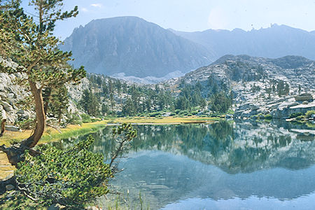
Mount Whitney over Timberline Lake - Sequoia National Park 26 Aug 1981
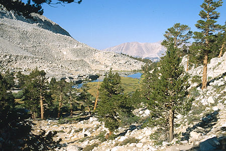
Timberline Lake - Sequoia National Park 26 Aug 1981
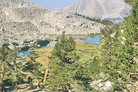
Timberline Lake - Sequoia National Park 26 Aug 1981
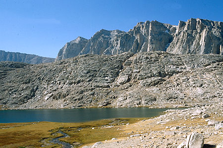
Guitar Lake, Mount Hitchcock - Sequoia National Park 26 Aug 1981
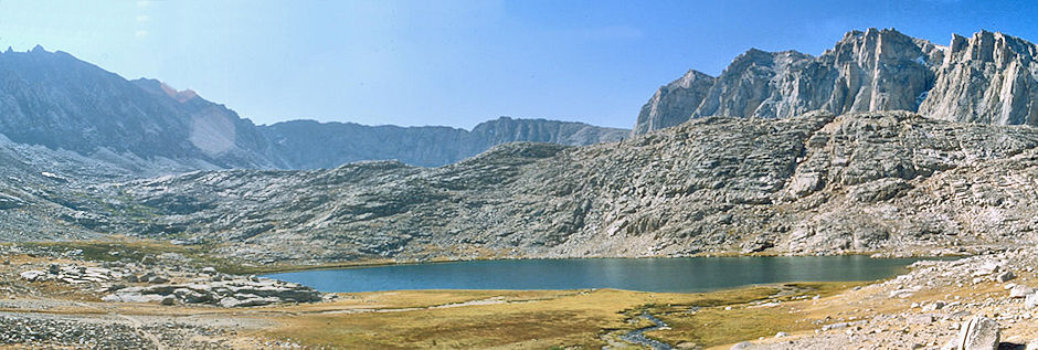
Guitar Lake, Mount Hitchcock - Sequoia National Park 26 Aug 1981
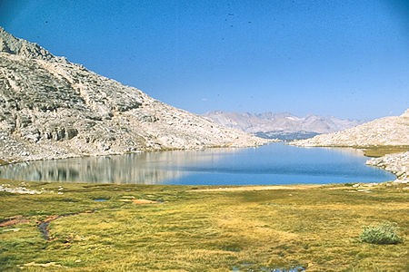
Guitar Lake - Sequoia National Park 26 Aug 1981
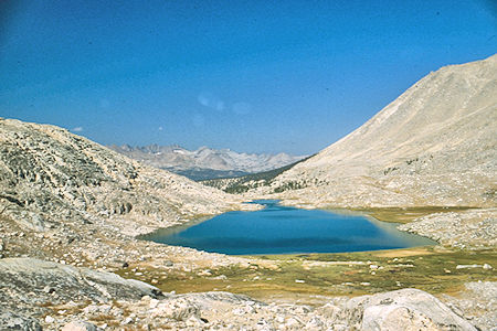
Guitar Lake - Sequoia National Park 26 Aug 1981
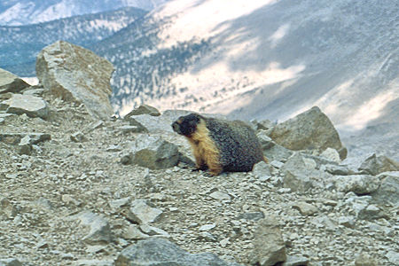
Marmot at Trail Crest Pass - Sequoia National Park 26 Aug 1981
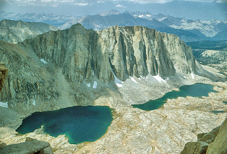
Mount Hitchcock and Lakes - Sequoia National Park 26 Aug 1981
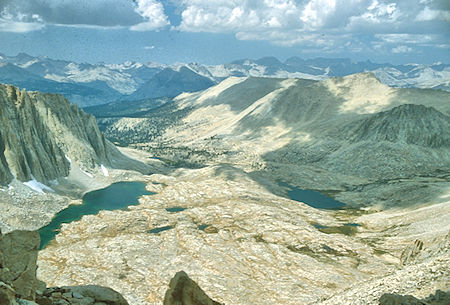
A Hitchcock Lake and Guitar Lake - Sequoia National Park 26 Aug 1981
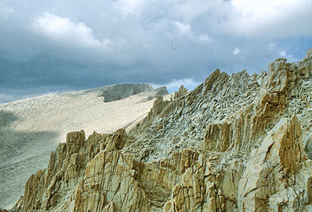
Route to summit of Mount Whitney - Sequoia National Park 26 Aug 1981
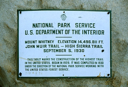
Plague on top of Mount Whitney - Sequoia National Park 26 Aug 1981
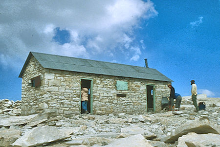
Smithsonian Cabin on summit of Mount Whitney - Sequoia National Park 26 Aug 1981
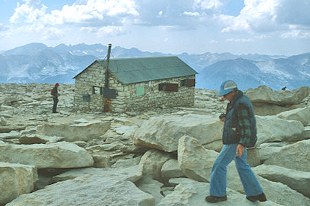
Smithsonian Cabin on summit of Mount Whitney - Sequoia National Park 26 Aug 1981
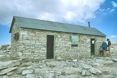
Smithsonian Cabin on summit of Mount Whitney - Sequoia National Park 26 Aug 1981
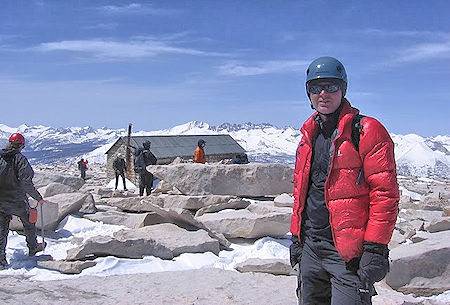
Jim White on Mount Whitney after climbing Mountaineer's Route - 16 Apr 2010
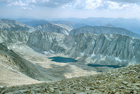
Mount Hitchcock and Lakes from Mount Whitney - Sequoia National Park 26 Aug 1981
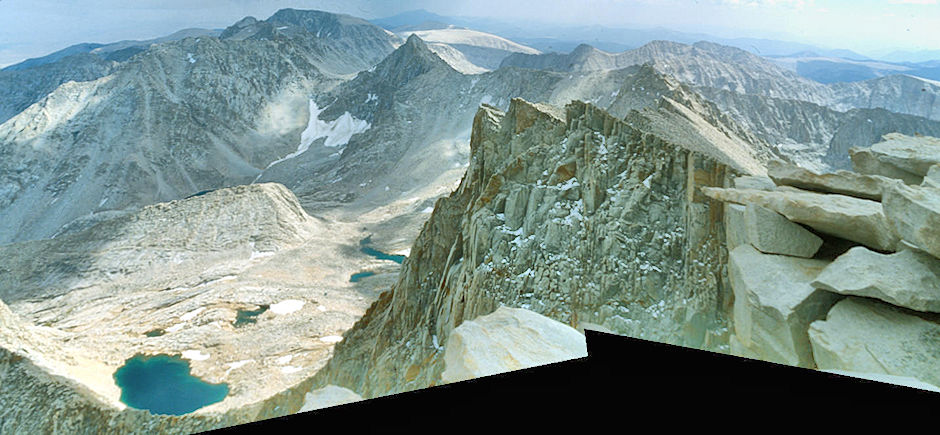
South from Mount Whitney, Whitney Pass, Discovery Pinnacle - John Muir Wilderness 26 Aug 1981
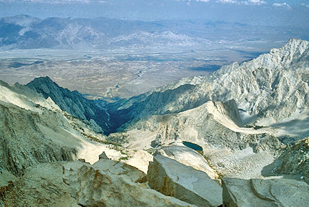
Lone Pine Creek, Owens Valley from Mount Whitney - John Muir Wilderness 26 Aug 1981
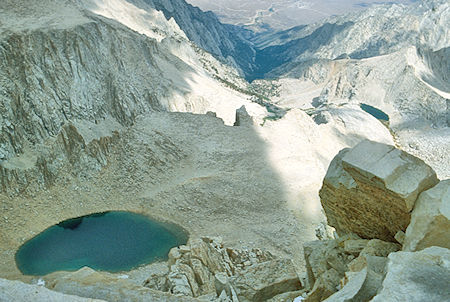
Iceberg Lake (left), Consultation Lake (right), Lone Pine Creek from Mount Whitney
John Muir Wilderness 26 Aug 1981
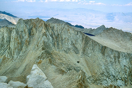
Mount Russell, Tulainyo Lake, Mount Carillion from Mount Whitney
John Muir Wilderness 26 Aug 1981
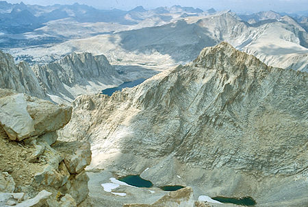
Wales Lake, Artic Basin from Mount Whitney - Sequoia National Park 26 Aug 1981
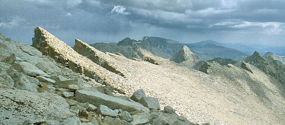
Whitney Crest, Mt. Muir, Discovery Pinnacle - Sequoia National Park 26 Aug 1981
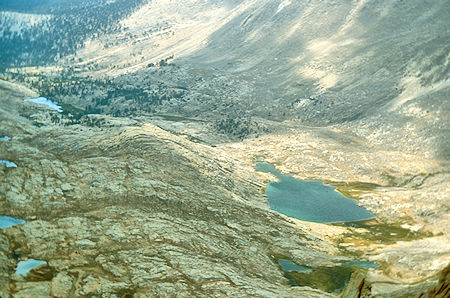
Guitar Lake (right), Timberline Lake (left rear) - Sequoia National Park 26 Aug 1981
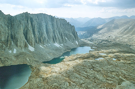
Mount Hitchcock, Hitchcock Lakes - Sequoia National Park 26 Aug 1981
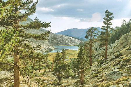
Timberline Lake - Sequoia National Park 26 Aug 1981
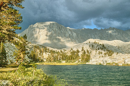
Mount Whitney, Timberline Lake - Sequoia National Park 26 Aug 1981
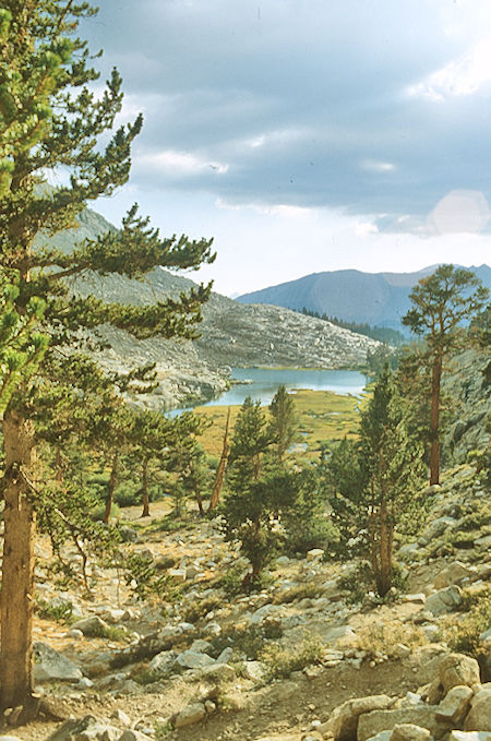
Timberline Lake - Sequoia National Park 26 Aug 1981
Thursday, August 27, 1981 we were both still pretty tired so we decided to layover and rest. Again we hardly left the tent. About 3 p.m. it started to rain and we discovered that the "Super Dome" tent leaked. The rainfly was not waterproof, only water repellant as was the tent floor and sidewalls. We put the emergency space blanket on the floor inside the tent and put sleeping bags, etc. in plastic bags. Jim went outside and dug ditches to promote drainage around the tent and built little dikes under the edges of the floor to keep water running down the tent walls from running under the floor. As a result we stayed dry and the rain soon stopped. We had a late supper and hit the sack after a good rest.
Friday, August 28, 1981, we got started about 9:30 or so and headed for Wallace Creek where we had lunch after a pleasant hike. We were in good shape from previous hiking and enjoying the country. After lunch we decided to stay on the John Muir Trail and camp at the lakes northwest of Tawny Point (not dropping into Tyndall Creek) instead of going up into the Wright Lake Basin. (We had used up the layover day planned for climbing Mt. Tyndall and the weather was questionable.) We made camp about 3 p.m. or so without any rain developing. I took a bath in the lakes and washed some clothing while Jim took a nap. After supper we saved some hot water so Jim took a sponge bath.
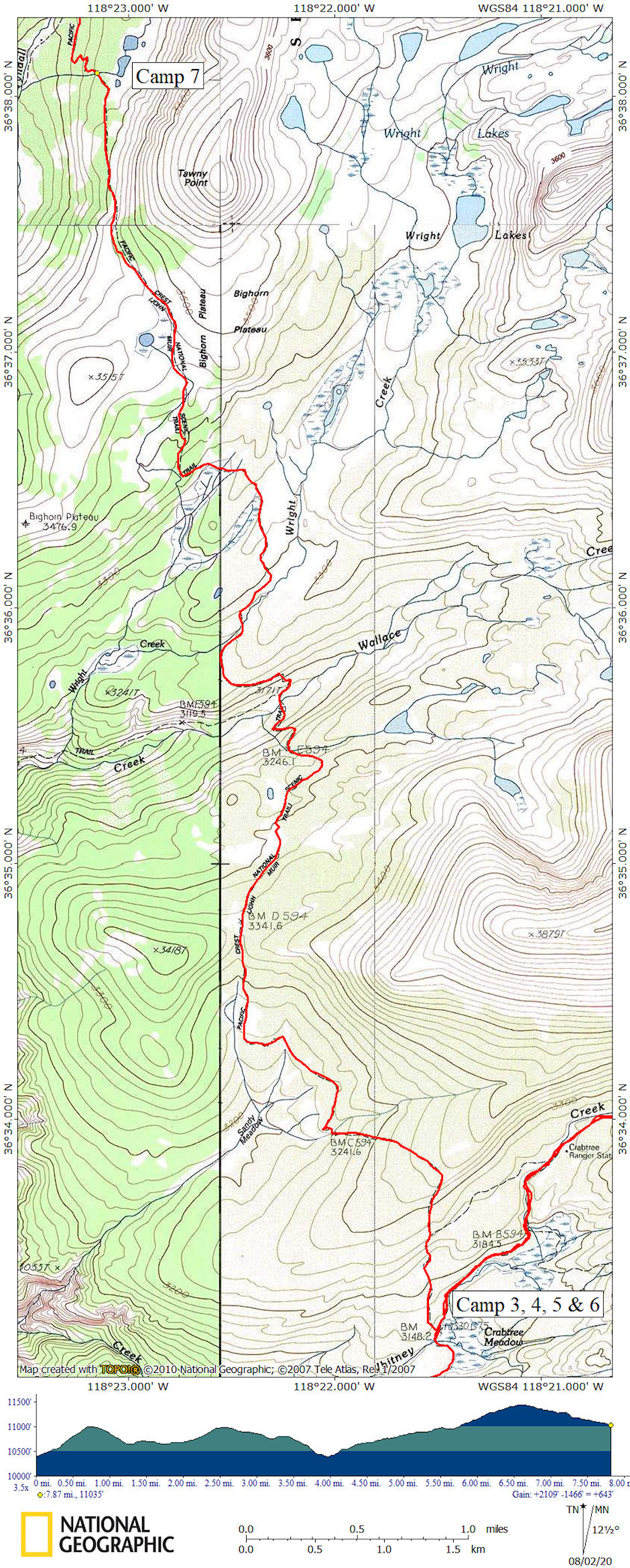
1981 Deck Trek Day 7 map
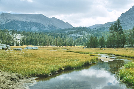
Lower Crabtree Meadow - Sequoia National Park 28 Aug 1981
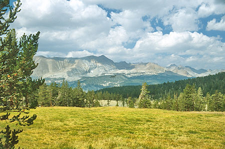
Sandy Meadow - Sequoia National Park 28 Aug 1981
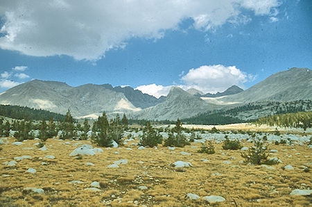
Wright Lake Basin - Sequoia National Park 28 Aug 1981
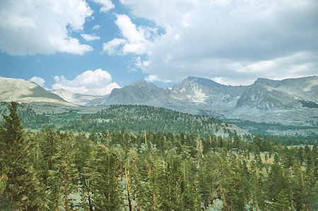
Mount Whitney from near Big Horn Plateau - Sequoia National Park 28 Aug 1981
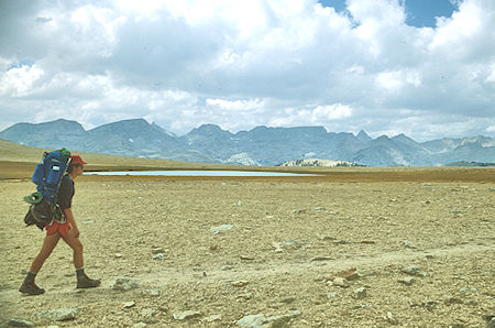
Big Horn Plateau, Jim White - Sequoia National Park 28 Aug 1981
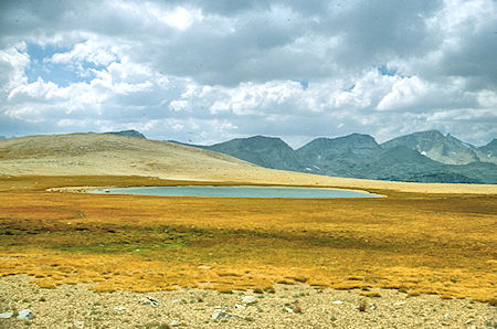
Big Horn Plateau - Sequoia National Park 28 Aug 1981

North of Big Horn Plateau, Jim White - Sequoia National Park 28 Aug 1981
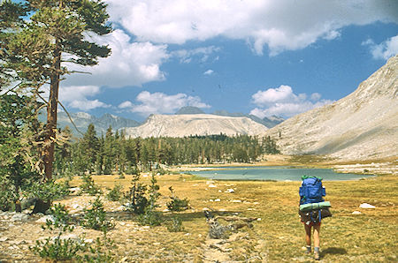
Lake northwest of Tawny Point, Diamond Mesa, Jim White
Sequoia National Park 28 Aug 1981
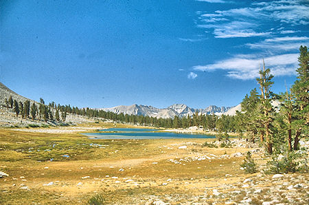
Lake northwest of Tawny Point - Sequoia National Park 29 Aug 1981
Saturday morning we got up lazily as usual. I wanted to get on the way so we could reach Anvil Camp by 3 p.m. or so to beat any rain and to have time to rest before fixing supper, etc. Jim felt lazy and didn't want to get going. I got a little upset and broke camp on top of him which made him unhappy. I hit the trail about 10:30 and he was to follow later.
Click your cursor on the map and then use the arrow keys on your keyboard to scroll right/left to see the entire map.
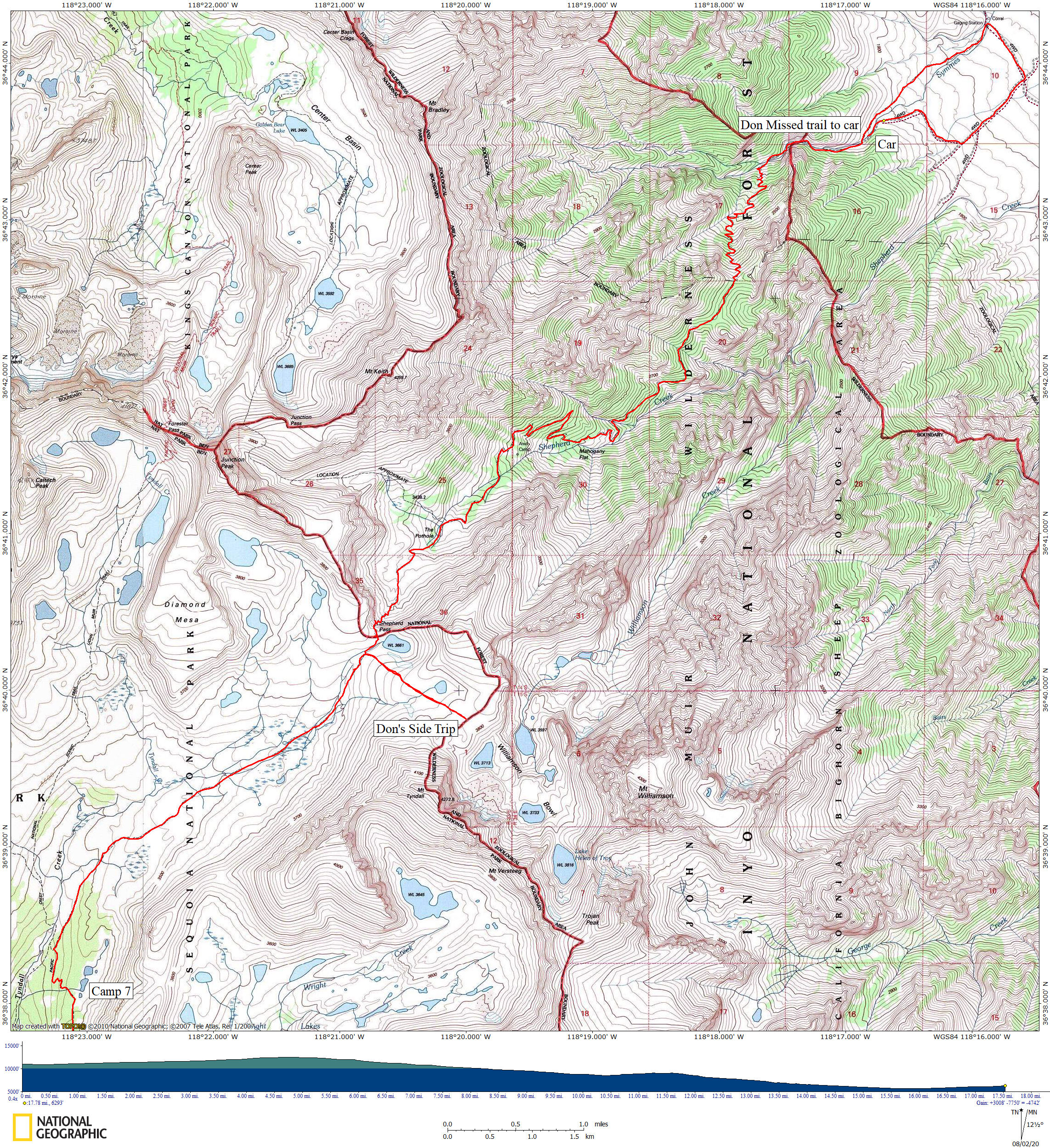
1981 Deck Trek Day 8 map
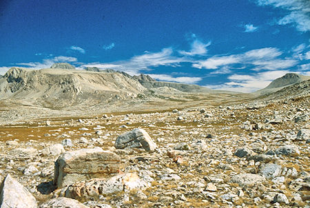
Diamond Mesa, Shepherd Pass - Sequia National Park 29 Aug 1981
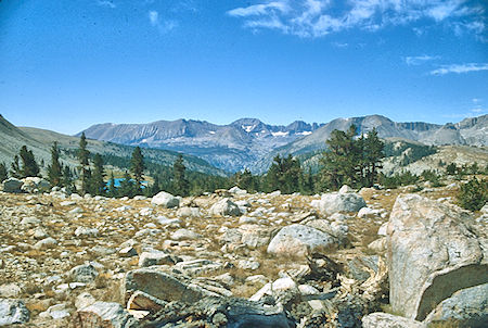
Kaweah Range - Sequoia National Park 29 Aug 1981
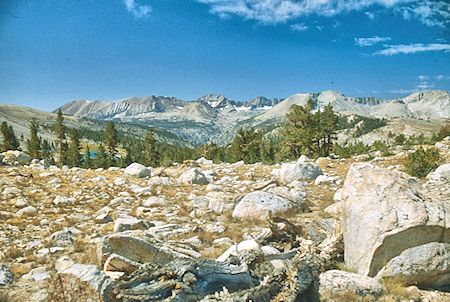
Kaweah Range - Sequoia National Park 29 Aug 1981
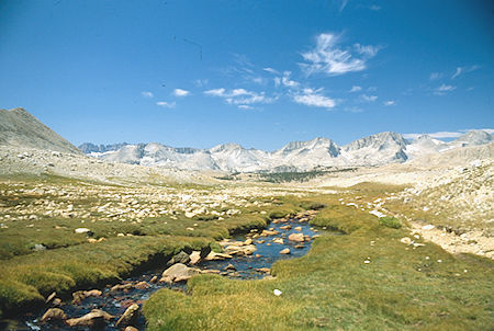
Tyndall Creek - Sequoia National Park 29 Aug 1981
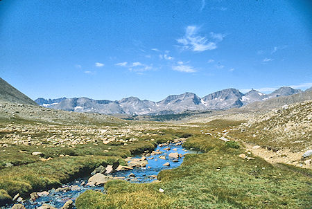
Tyndall Creek - Sequoia National Park 29 Aug 1981
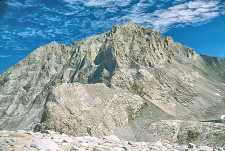
West side of Mount Williamson - Sequoia National Park 29 Aug 1981
I hiked over the ridge north of the lakes and soon joined the trail to Shepherd Pass. I stopped for lunch about a mile or so below the pass at noon. As I left at 1:00 I didn't see Jim with my binoculars, however, he apparently saw me. Just before reaching the pass I decided to take a side trip to the lake basin west of Mt. Williamson to see what the terrain was like.
I left my pack off the trail next to a rock but failed to leave any sign for Jim. The side hike turned out to be a 3 mile round trip and took longer than I had planned. I returned to my pack about 3 p.m. and headed over the pass. No one I talked to had seen Jim, but I wasn't sure whether he was ahead or behind me. It turned out he was ahead of me.
The net result was that Jim hiked out ahead of me and went all the way to his home covering about 21 miles. I followed late and eventually reached my car at the trailhead covering about 18 miles and spent the night, reconnecting with Jim in the morning.

Mount Williamson (west side), Trojan Peak, Mount Versteeg from near Shepherd Pass - Sequoia National Park 29 Aug 1981
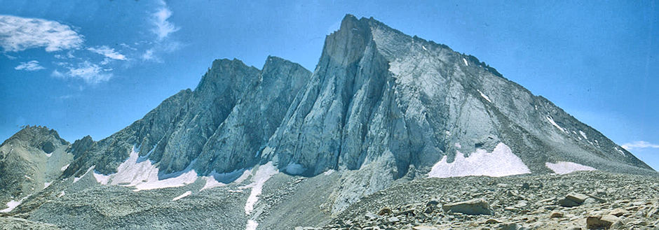
Mount Versteeg, Mount Tyndall from near Shepherd Pass - Sequoia National Park 29 Aug 1981

Diamond Mesa, Junction Peak, Junction Pass from near Shepherd Pass - Sequoia National Park 29 Aug 1981
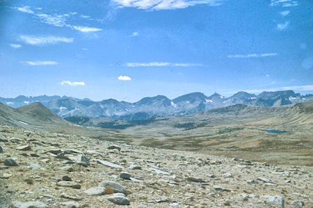
Tyndall Creek Basin, Milestone Peak - Sequoia National Park 29 Aug 1981
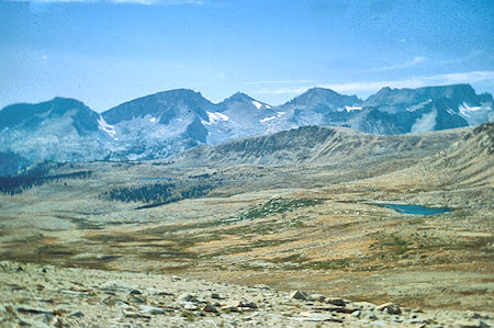
Tyndall Creek Basin, Milestone Peak - Sequoia National Park 29 Aug 1981
Sunday was spent resting and recuperating at home instead of hiking down the hot trail in the sun. May not have been such a bad deal after all.
In retrospect the trip was a good trip. I made several mistakes the last day but we both learned from the results. I got to climb Whitney again after about 15 years and Jim got several peaks and quite a bit of cross-country experience.