During August 19-26, 1962 myself, Bob Brooks, Jay Burdine, Clint Powell, Bruce Webb and Mike Warren did a 46 mile Deck Trek from Tuolumne Meadows in Yosemite National Park to Twin Lakes near Bridgeport, California. Along the way we climbed Matterhorn Peak.
Saturday night we drove to Bridgeport and camped at Twin Lakes.
Sunday, August 19, 1962 we left a car at Twin Lakes and drove to Tuolumne Meadows, then backpacked 5 miles to Glen Aulin to camp.
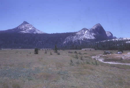
Cathedral Peak, Fairview Dome - Yosemite National Park - 19 Aug 1962
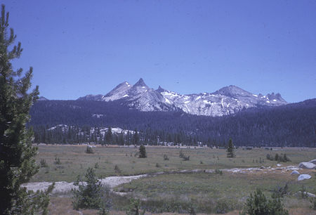
Unicorn Peak, Columbia Finger - Yosemite National Park - 19 Aug 1962
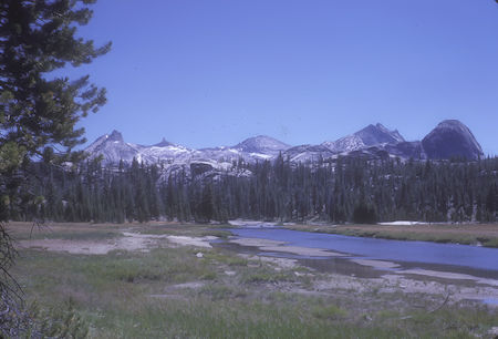
Unicorn Peak, Cathedral Peak, Columbia Finger, Fairview Dome
Yosemite National Park - 19 Aug 1962
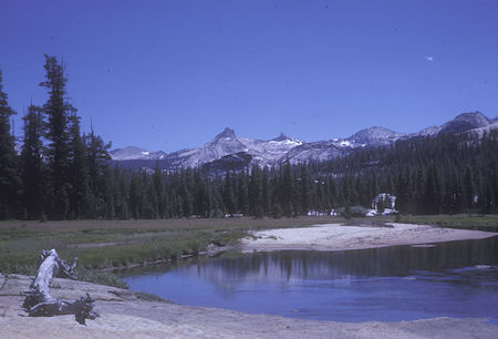
Unicorn Peak, Cathedral Peak, Columbia Finger, Tuolumne River
Yosemite National Park - 19 Aug 1962
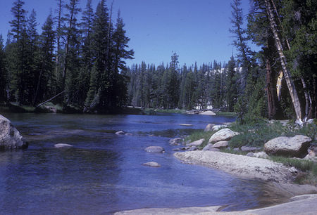
Tuolumne River - Yosemite National Park - 19 Aug 1962
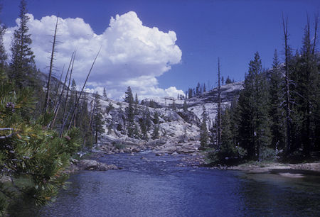
Tuolumne River - Yosemite National Park - 19 Aug 1962
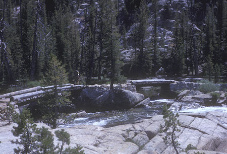
Bridge above Tuolumne Falls - Yosemite National Park - 19 Aug 1962
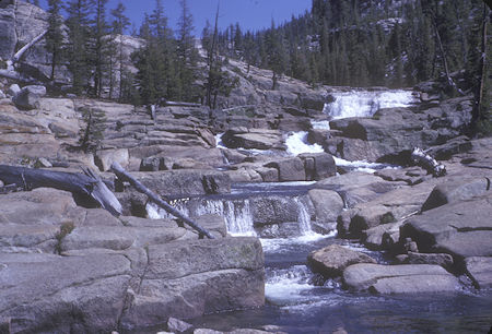
Cascades - Yosemite National Park - 19 Aug 1962
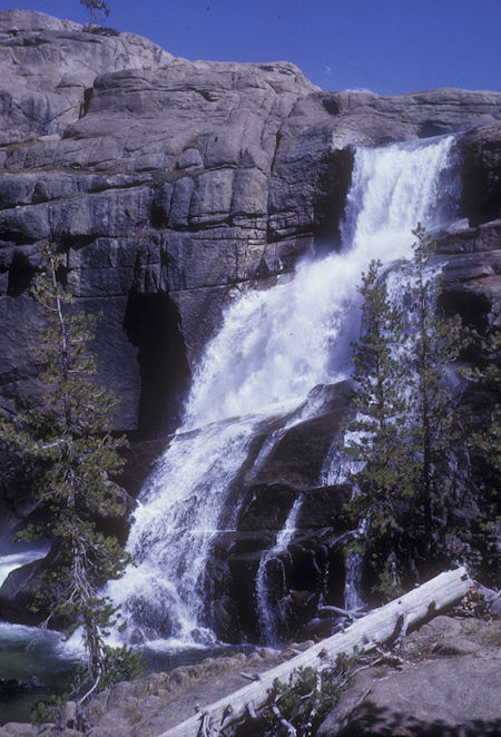
Tuolumne Falls - Yosemite National Park - 19 Aug 1962
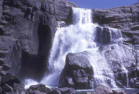
Tuolumne Falls - Yosemite National Park - 19 Aug 1962
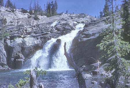
White Cascade at Glen Aulin - Yosemite National Park - 19 Aug 1962
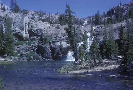
White Cascade and stream near Glen Aulin - Yosemite National Park - 19 Aug 1962
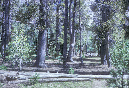
Campsite along Tuolumne River - Yosemite National Park - 19 Aug 1962
Hiked down to Waterwheel Falls (6 miles+ RT) Beautiful Falls on Tuolumne River.
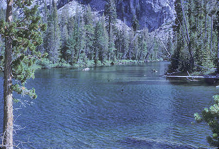
Tuolumne River - Yosemite National Park - 19 Aug 1962
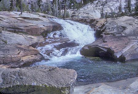
Lower California Falls - Yosemite National Park - 19 Aug 1962
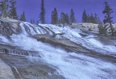
Waterwheel Falls - Yosemite National Park - 19 Aug 1962
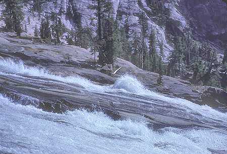
Waterwheel Falls - Yosemite National Park - 19 Aug 1962
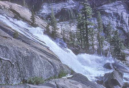
Waterwheel Falls - Yosemite National Park - 19 Aug 1962
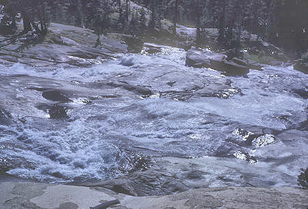
Waterwheel Falls - Yosemite National Park - 19 Aug 1962
Monday, August 20, 1962 we headed up Cold Canyon - beautiful trees and meadow - and down into Virginia Canyon.
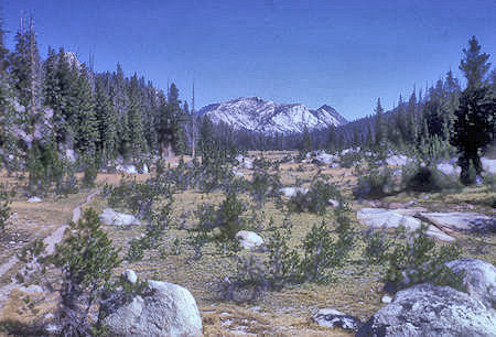
Upper meadow of Cold Canyon - Yosemite National Park - 20 Aug 1962
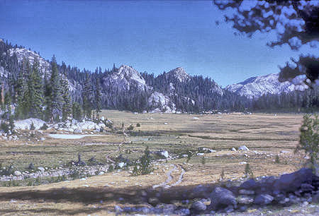
Meadow at head of Cold Canyon - Yosemite National Park - 20 Aug 1962
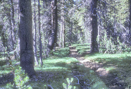
Cold Canyon trail - Yosemite National Park - 20 Aug 1962
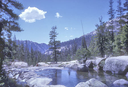
Return Creek in Virginia Canyon - Yosemite National Park - 20 Aug 1962
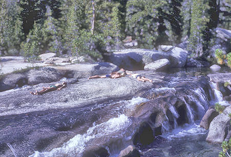
Sun bathers by Return Creek in Virginia Canyon - Yosemite National Park - 20 Aug 1962
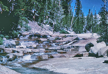
Spiller Creek on trail from Virginia Canyon to Matterhorn Canyon
Yosemite National Park - 21 Aug 1962
Tuesday, August 21, 1962 we headed to Matterhorn Canyon via Spiller Creek.
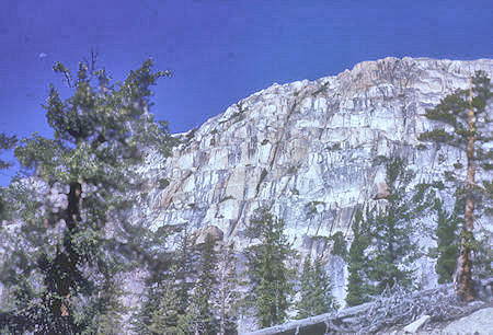
View on top of first grade to Matterhorn Canyon
Yosemite National Park - 21 Aug 1962
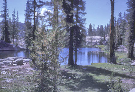
Unnammed lake on Virginia Canyon to Matterhorn Canyon trail
Yosemite National Park - 21 Aug 1962
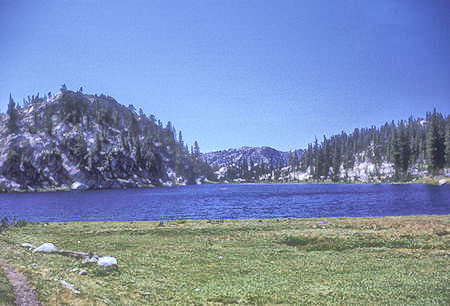
Miller Lake on trail from Virginia Canyon to Matterhorn Canyon
Yosemite National Park - 21 Aug 1962
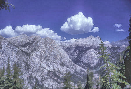
Matterhorn Canyon and Sawtooth Ridge, Doghead Peak, Quarry Peak, Whorl Mountain
Yosemite National Park - 21 Aug 1962
Wednesday, August 22, 1962 we proceeded up Matterhorn Canyon to Burro Pass and camp just below the pass on North Side (My 30th Birthday).
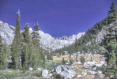
Matterhorn Canyon toward Burro Pass and Sawtooth Range
Yosemite National Park - 22 Aug 1962
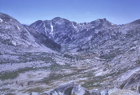
Matterhorn Canyon from Burro Pass - Yosemite National Park - 22 Aug 1962
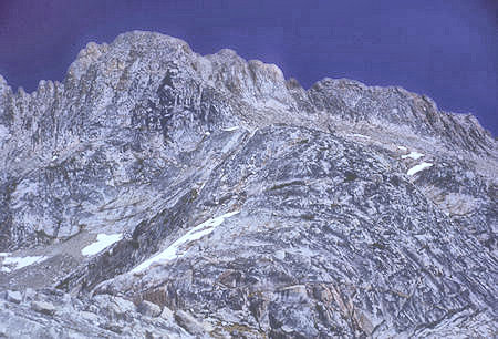
Matterhorn Peak from Burro Pass - Yosemite National Park - 22 Aug 1962
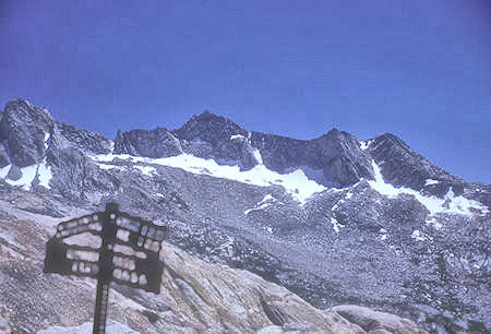
Whorl Peak from Burro Pass - Yosemite National Park - 22 Aug 1962
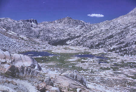
Slide Canyon, Slide Mountain, Slide Lake from Burro Pass
Yosemite National Park - 22 Aug 1962
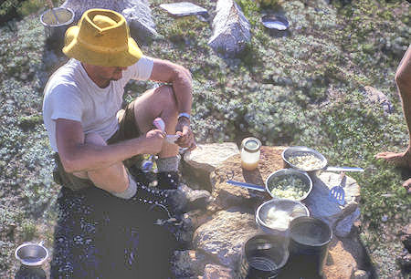
Bob Brooks fixing supper at Burro Pass camp - Yosemite National Park - 22 Aug 1962
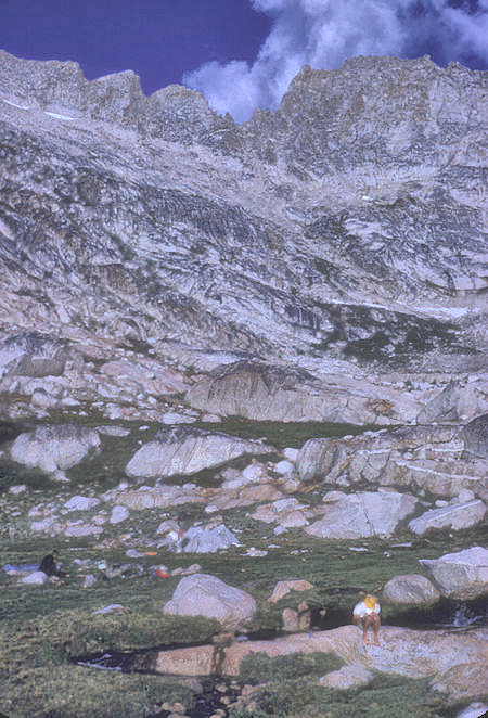
Matterhorn Peak at Burro Pass camp - Yosemite National Park - 22 Aug 1962
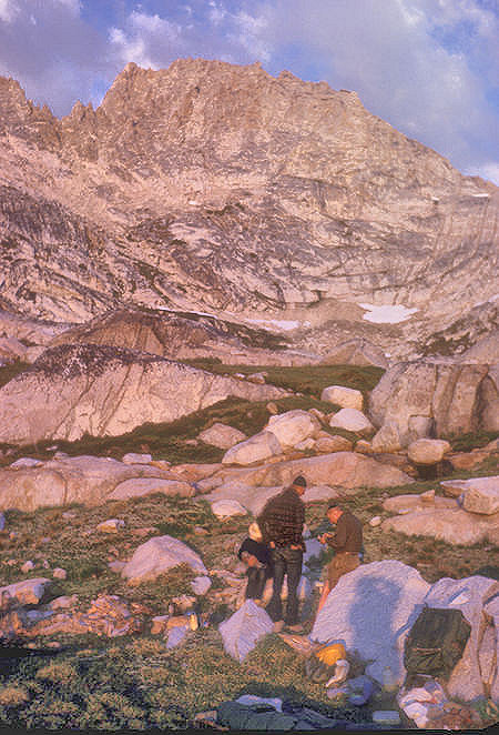
Alpen glow at Burro Pass camp - Yosemite National Park - 22 Aug 1962
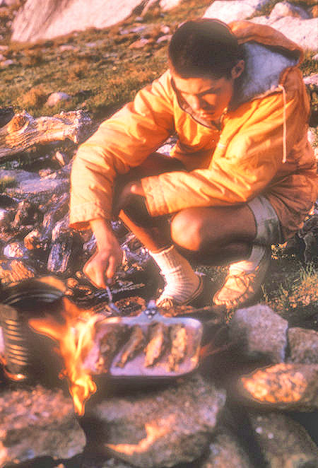
Mike Warren cooking fish in alpine glow at Burro Pass camp
Yosemite National Park - 22 Aug 1962
Thursday, August 23, 1962 we climbed 12,285' Matterhorn Peak in 1 1/2 hours. Route was easy 2nd Class with a tendency to 3rd Class near top. Beautiful views of area - then down to Slide Canyon.
Matterhorn Peak lies on the northern boundary of Yosemite National Park. At 12,285 feet elevation, it is the highpoint of the impressive Sawtooth Ridge. It is the northernmost 12,000-foot peak in the Sierra Nevada and there are no higher peaks north of Matterhorn in the entire Sierra Nevada.
The peak also supports the Sierra's northernmost glacier system. It was named after the Matterhorn in the Alps. Matterhorn Peak is quite near to Twin Peaks, and just north, of Whorl Mountain.
The peak was made famous by Jack Kerouac who wrote about climbing the peak in his 1958 book, The Dharma Bums. It was first climbed in 1899 by M. R. Dempster and party. It is an easy class 2 climb via the southwest side from Burro Pass. There are also numerous technical climbing routes.
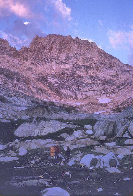
Alpine glow at Burro Pass camp - Yosemite National Park - 22 Aug 1962
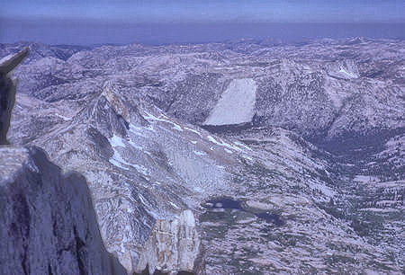
Finger Peaks, the Slide, Slide Mountain from top of Matterhorn Peak
Yosemite National Park - 23 Aug 1962
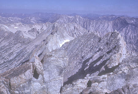
Matterhorn Ridge north from top of Matterhorn Peak
Yosemite National Park - 23 Aug 1962
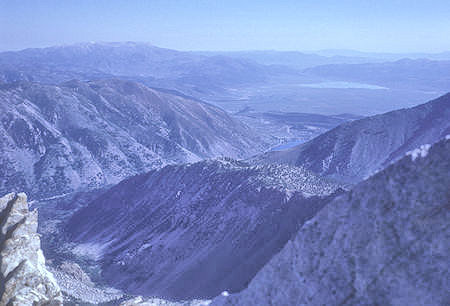
Twin Lakes and Bridgeport Valley from top of Matterhorn Peak
Yosemite National Park - 23 Aug 1962
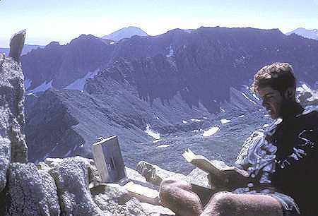
Clint Powell reading register on top of Matterhorn Peak, Twin Peaks, Virginia Peak,
Camiaca Peak in rear - Yosemite National Park - 23 Aug 1962
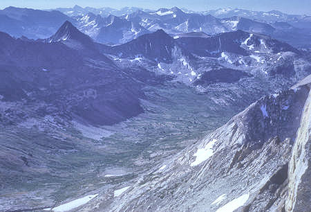
Spiller Creek from top of Matterhorn Peak, Mt. Conness & glacier,
Virginia and Stanton Peaks - Yosemite Ntional Park - 23 Aug 1962
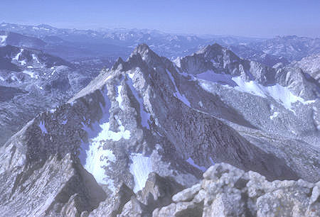
View south from top of Mattehorn Peak, Whorl Mountain
Yosemite National Park - 23 Aug 1962
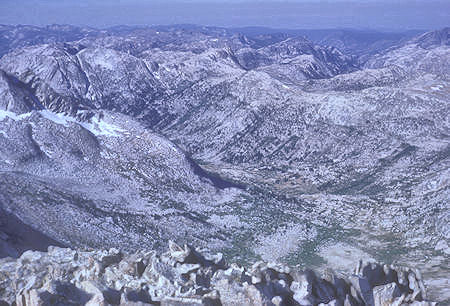
Matterhorn Canyon from top of Matterhorn Peak - Yosemite National Park - 23 Aug 1962
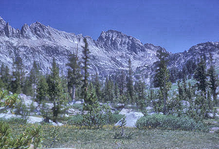
Matterhorn Peak from Slide Canyon - Yosemite National Park - 24 Aug 1962
On December 31, 1970-January 2, 1971 I was part of an Explorer Post 360 group and friends (14 people) that attempted a winter ascent of Matterhorn Peak.
The road from Bridgeport was plowed to Mono Village. We had a good hike into camp on snowshoes - camped in Horse Creek Valley at 8500 feet. New Year's Day we attempted Matterhorn Peak - got to 11,200 feet and it started snowing so returned to camp. Light snow during night. Hiked out in light snows - drove home in beautiful weather - great scenery.
Friday, August 24, 1962 we proceeded via a high climb over Mule Pass crest near Slide Mtn and out of Yosemite Park - cross-country down to Barney Lake - 3-4 miles following markers for new surveyed trail soon to be built. Easy route except last couple of miles through marsh and rocks above Barney Lake - Crown Lake and others beautiful.
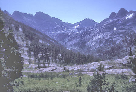
Sawtooth Ridge and Matterhorn Peak from trail over Mule Pass
Yosemite National Park - 24 Aug 1962
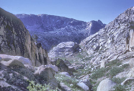
View toward Slide Canyon from trail - Yosemite National Park - 24 Aug 1962
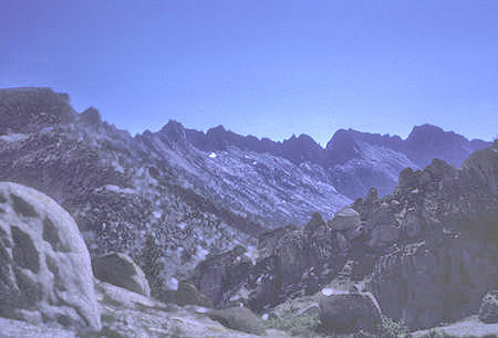
Sawtooth Ridge from Mule Pass Trail - Yosemite National Park - 24 Aug 1962
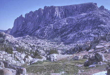
VIew back from trail - Yosemite National Park - 24 Aug 1962
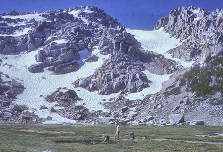
Meadow at top of Mule Pass grade - Yosemite National Park - 24 Aug 1962
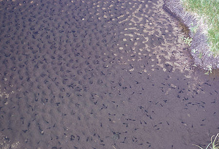
Polywogs along the trail - Yosemite National Park - 24 Aug 1962
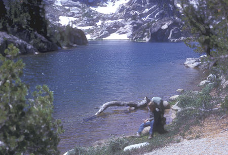
Crown Lake - Hoover Wilderness - 24 Aug 1962
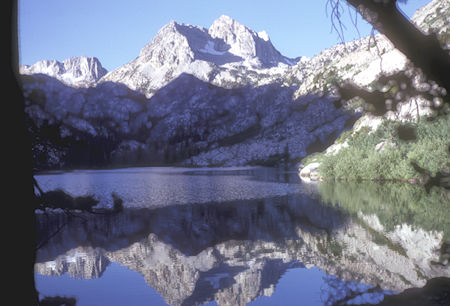
Morning reflection on Barney Lake - Hoover Wilderness - 25 Aug 1962
Saturday, August 25, 1962 we headed down to Twin Lakes and the car - visited Lundy and Bodie then drove to Yosemite Valley via the Tioga Road for Firefall and night. Sunday, August 26, 1962 we headed home - GOOD TRIP.

Tuolumne Meadow, Matterhorn Peak, Twin Lakes trip map - Approximate route in RED. Waterwheel Falls and Matterhorn Peak in BLUE. They are NOT included in the profile. The route near Crown Lake follows the new trail, however that trail did NOT exist at the time of this trip and we were following survey markers for the route so our actual route may have been different.