On August 4-5, 1973 myself, Dan Curley, Gil & Isabelle Beilke, Scott & Marilyn Morton backpacked into the Hilton Lakes and climbed 12,851' Mt. Stanford.
Located along the Kings-Kern Divide in the Kings Canyon National Park backcountry, Mt. Stanford is one of the highest peaks in California, and frequently cited as one of the best scrambles in the Sierra.
Norman Clyde's description is fitting: "Along the Kings-Kern Divide, slightly to the south of Mt. Brewer, are numbers of lofty peaks, the finest of which is Mt. Stanford. It has twin peaks of almost equal height, the northern one being perhaps a few feet the higher. The most southerly of these can be readily scaled from the upper Kern, but few care to traverse the ragged knife-edge that connects it to the more northerly one."
The peak's south ridge (the "ragged knife-edge" described by Clyde) was the route of first ascent in 1896 by Bolton Brown, and is a short but enjoyable class 3 scramble from Gregory's Monument, the lower south summit.
The east face offers a more sustained class 3 scramble, and is an excellent climb from the Pacific Crest Trail (PCT) in the vicinity of Center Basin. The west face (descended by Bolton Brown after his climb of the south ridge) and north ridge (first climbed by Brower and Clyde in 1939) are also both rated class 3.
I left Fletcher Hills shortly after 5 p.m. and picked up Gil on Kearny Mesa about 5:50 p.m. We arrived at Tinemaha campground south of Big Pine about midnight. Up at dawn and on to trailhead at Rock Creek where we hit the trail about 8:15 a.m.
After a relatively easy 4 mile trail we arrived and setup camp before noon at Fourth Lake. A Sierra Club backcountry camp occupied most of the campsites. We had a suitable site near the outlet and later found other sites near the inlet and on the southwest shore (best).
Camping would also be nice in the meadow areas above the lake. After lunch, Gil, Dan, Scott and I headed for Mt. Stanford. It is a steep but pleasant and easy hike up the valley above the lake. Near the head of the valley you climb an easy scree slope to a ridge, then contour around the upper basin above Lake Stanford on more easy Class 2 terrain.
We climbed some easy Class 3 to the top of the ridge leading to the Sierra Crest. This is not necessary, instead, contour further to the east and up slightly to the bottom of an easy slope leading west to the peak. The ridge line leads to a false summit. The true summit is a short distance north of the ridge summit.
It was cloudy and windy with occasional sun breaking through. This made it cold. A few snow flurries fell and the wind occasionally stopped. We signed the register and took in the outstanding views of Pioneer Basin, Third and Fourth Recess, and McGee Creek basin. You get a very good picture of the country from this peak.
It is perhaps the best peak I have climbed in terms of ease of route and resulting fine views. Clouds didn't do much for pictures, but I took many anyway. Arrived on top shortly after 3 p.m. (early birds about 2 p.m.) and spent about an hour, leaving about 4 p.m.
Found one Bighorn 3heep antler in the rocks on the way down. It was a nice hike down and made it back to camp about 6 p.m. where Gil and Dan (speedier) had supper underway. It sprinkled off and on during the evening and all night.
Sunday we awoke to cloudy skies. Gil climbed Mt. Huntington while we broke camp. The girls and Dan (sprained ankle) headed for the car about 9 a.m. while Scott and I hiked up to Fifth Lake and took pictures while waiting for Gil to return.
Gil took about two hours to climb Mt. Huntington (up). We regrouped, ate lunch, and headed down about 11 a.m. and were back at the roadhead around 1 p.m. We headed home about 1:50. A pleasant trip despite the cloudy weather - it kept things cool.
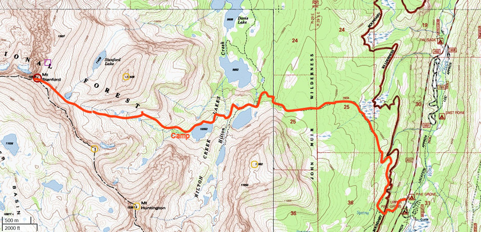
Mount Stanford Topo Map with route
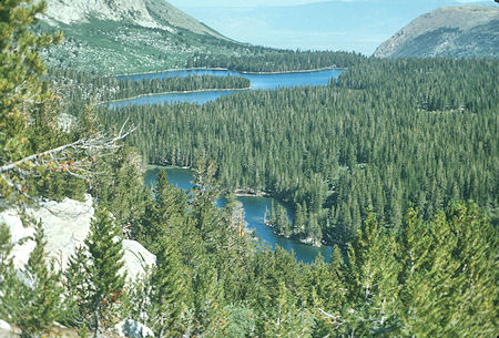
Davis (1st) Lake and 2nd Lake from 3rd Lake outlet
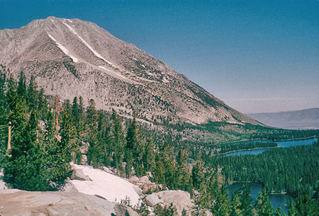
Unnamed peak above Hilton Lakes and Davis Lake - view east
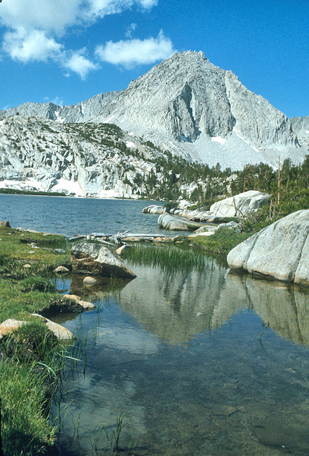
3rd Lake - Hilton Lakes
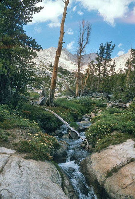
Hilton Creek above 4th Hilton Lake
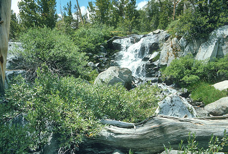
Cascades on the way up Mt. Stanford
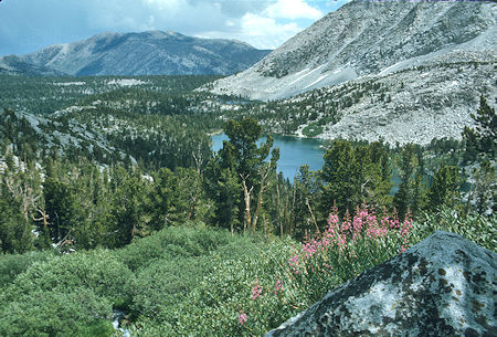
4th Hilton Lake from route up Mt. Stanford

Valley above Hilton Lake #4 on way to Mt. Stanford
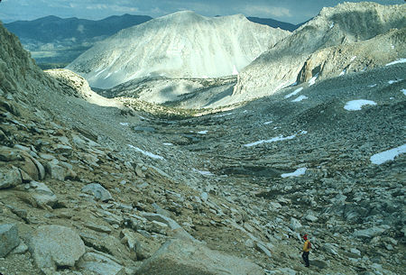
The route to Mt. Stanford above 4th Hilton Lake
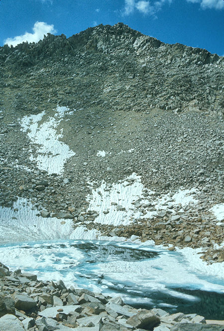
Southeast slope of Mt. Stanford
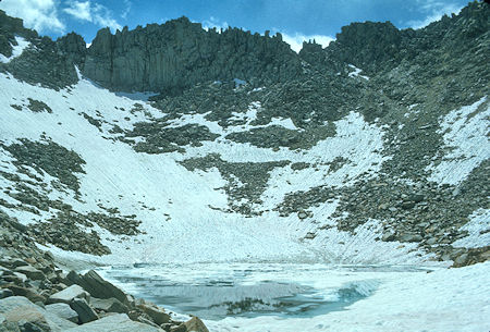
View south of Mt. Stanford
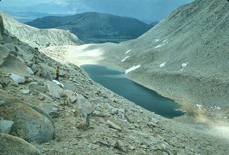
Stanford Lake
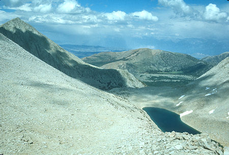
View east over Stanford Lake
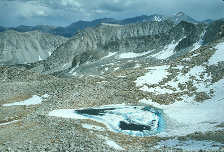
Looking south from Mt. Stanford ridge over the route up
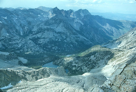
Steelhead Lake and McGee Creek valley
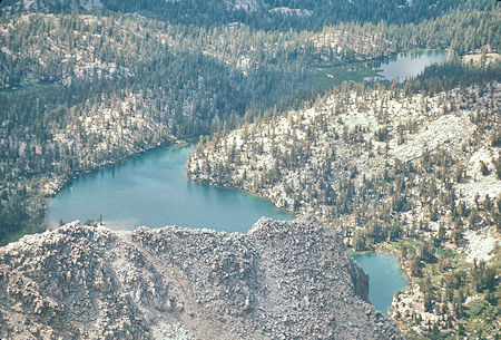
Steelhead Lake near McGee Creek valley from Mt. Stanford
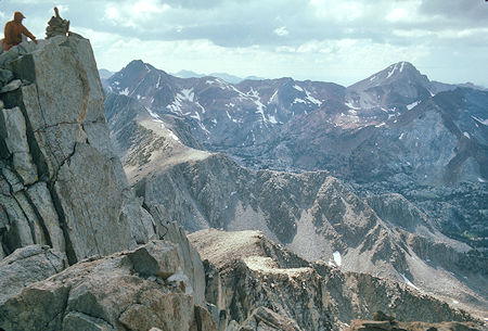
Red & White and Red Slate peaks west of Mt. Stanford
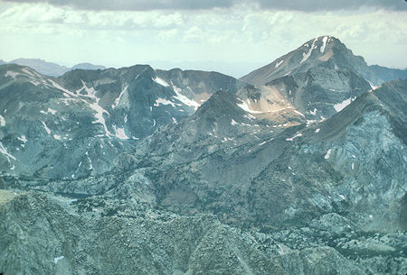
Red Slate peak from Mt. Stanford
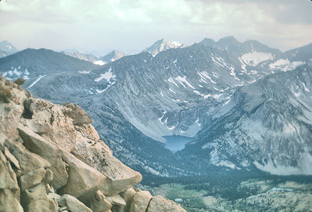
Mono Pass and Fourth Recess from Mt. Stanford
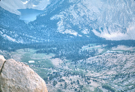
Fourth Recess Lake and Lower Pioneer Basin Valley from Mt. Stanford
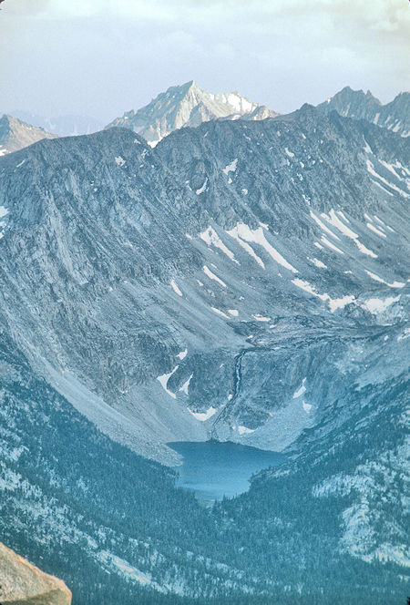
Fourth Recess from Mt. Stanford

Fourth Recess and Third Recess from Mt. Stanford
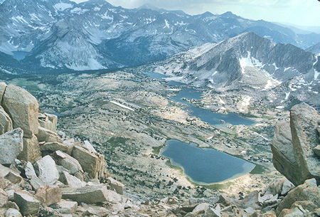
Fourth Recess, Third Recess and Pioneer Basin from Mt. Stanford
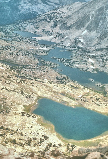
Pioneer Basin lakes from Mt. Stanford

Pioneer Basin lakes from Mt. Stanford

Looking west over Hilton Creek Lake #5
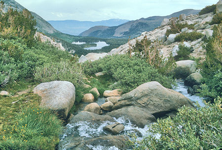
Davis Lake from Fifth Lake outlet
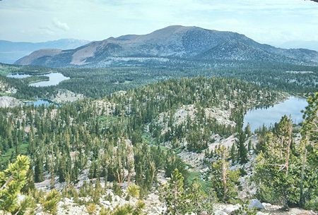
1st (Davis), 2nd and 3rd Hilton Lakes
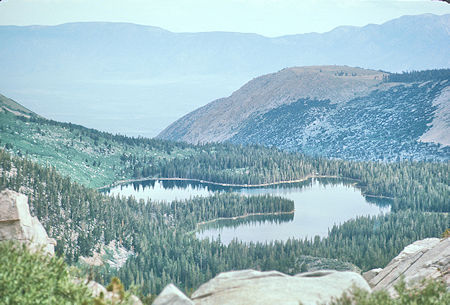
Davis Lake from 5th Hilton Lake
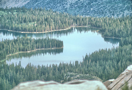
Davis Lake from 5th Hilton Lake
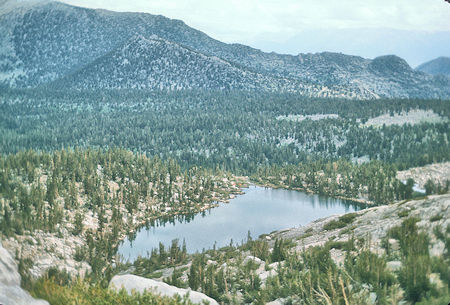
Third Hilton Lake from Fifth Hilton Lake
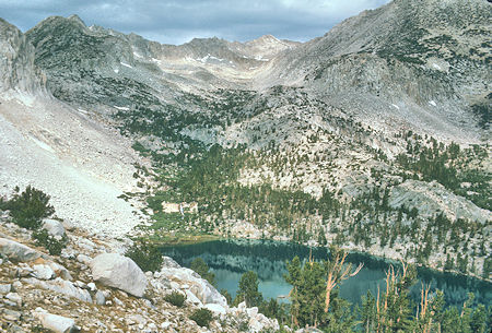
Fourth Hilton Lake and route to Mt. Stanford
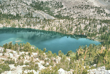
Fourth Hilton Lake
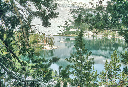
Fourth Hilton Lake
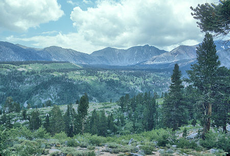
Wheeler Crest area - Rock Creek
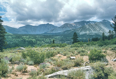
Wheeler Crest area - Mt. Morgan on far right - Rock Creek