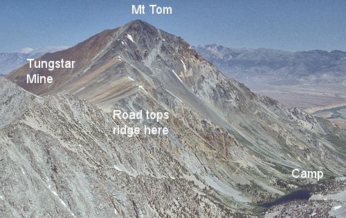
Route to Mt Tom from Horton Lake as viewed from Four Gables
You can see the old mine road as it leaves the lake
On June 21-23, 1968 I climbed 13,652' Mt. Tom with Explorer Post 360 on a 14 mile round trip via Horton Lake. Of the 29 people in the group, 8 men and 2 boys made the top.
On Friday we drove from Fletcher Hills (El Cajon/La Mesa) to Lone Pine and sacked out in the Alabama Hills.
Saturday we drove to the locked gate on the Horton Lake road in Buttermilk Country west of Bishop and hiked up the road to Horton Lake where we made camp at a nice campsite.
A few of us explored about a mile up stream from the lake. The fishermen caught lots of small fish.
On Sunday, while some stayed in camp to fish, the climbers headed up the Tungstar/Hanging Valley mine road to the ridge at 11,800'. We then followed the mostly class 2 with some class 3 route up the ridge to the 13,652' peak where we spent an hour taking in the great views.
From the peak we dropped down the west side gullies to the Tungstar Mine and then followed the old road back to camp, arriving about 2-2:30. We returned to the cars by about 4:30 and arrived home in Fletcher Hills about 1-2 am. It was a great trip!
The Tungstar Mine got its name from movie stars who invested in the mine such as Shirley Temple.
See also the Gable Lakes Trail which offers an alternate route to Mt. Tom with more pictures.

View from top of Mt Tom
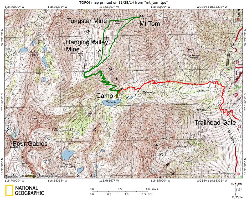
The RED line is the backpack route to camp; the GREEN line is the climbing route to Mt. Tom

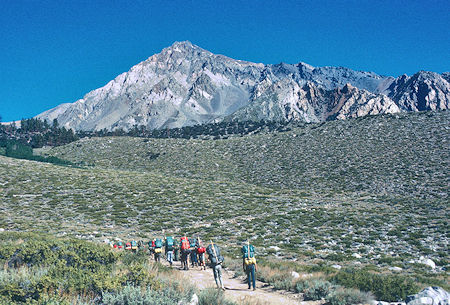
Mt. Tom from the trailhead gate
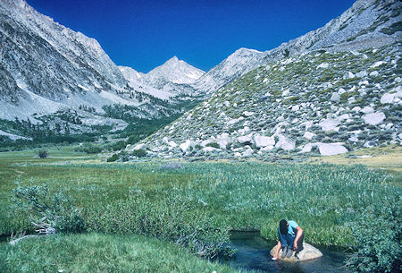
Looking up Horton Creek valley toward Four Gables
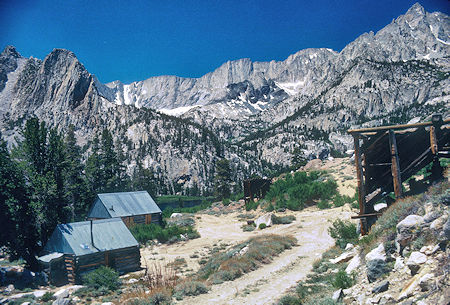
Mine buildings at Horton Lake looking toward Four Gables
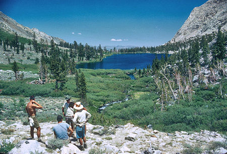
Looking back at Horton Lake from above
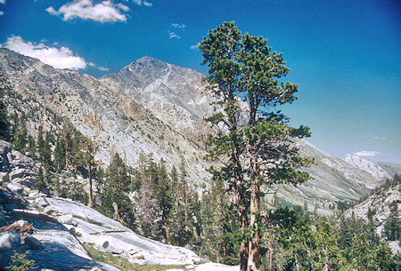
Looking northeast toward Mt Tom from the southwest above Horton Lake
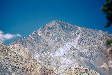
Telephoto of Mt Tom looking northeast from southwest above Horton Lake
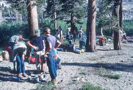
Cooking supper at Horton Lake campsite
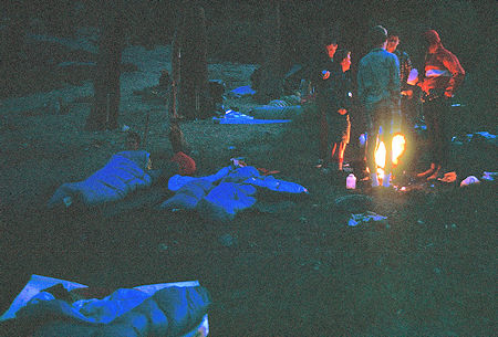
Time for breakfast at Horton Lake campsite
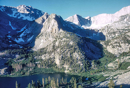
Horton Lake at 7am
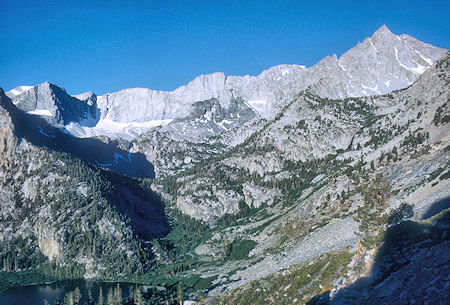
Horton Lake and Four Gables at 7 a.m.
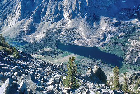
Looking down at Horton Lake from the ridge to Mt Tom
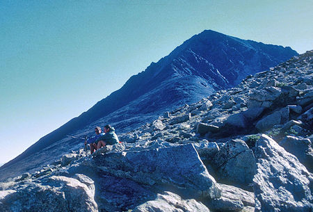
Looking up the ridge toward Mt Tom
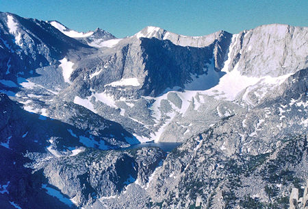
Upper Horton Lake basin
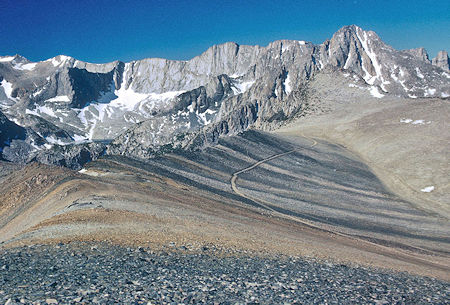
Looking down the Mt Tom ridge. Upper Horton Lake on the left. Four Gables on the right. The road comes from the saddle above Horton Lake toward the Tungstar mine out of the picture to the right
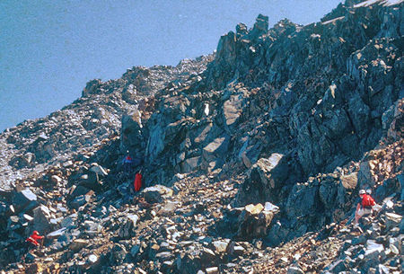
As we near the peak the terrain becomes more difficult class 3
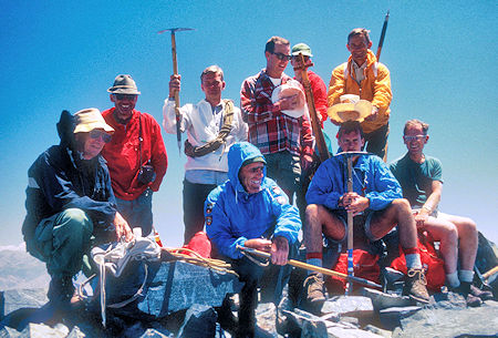
The summit party: Kevin Barry, Gordon Lee, Glenn Wyatt, Allan VanNorman, Roger Hardy Sr, Birt Lyttle, Bob Johnson, Gil Beilke, Jim Polak - photo by Don Deck
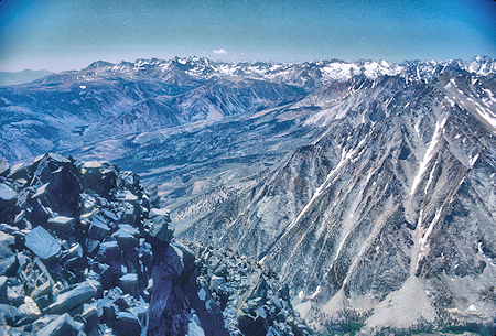
Mt Sill and Palisade Glacier, Bishop Creek, Buttermilk Country, Horton Lake, Basin Mtn from Mt Tom
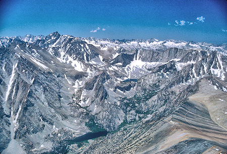
Mt Humphrey, Glacier Divide, Upper Horton Lake from Mt Tom
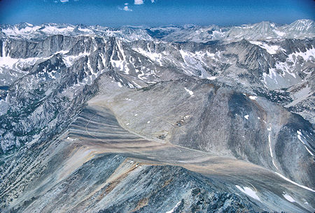
Looking down the Mt Tom ridge from Mt Tom toward Four Gables, French Canyon in back on right, Hanging Valley mine in the center
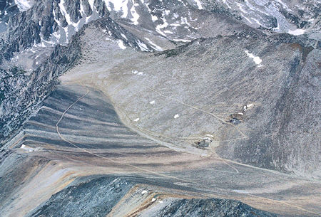
Looking down the Mt Tom ridge from Mt Tom - Hanging Valley Mine on the right
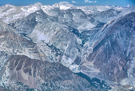
From Mt Tom looking at Pine Creek to the left, Morgan Creek and the Pine Creek Tungsten Mine to the right. Bear Creek Sphire, Mt Dade, Mt Abbot, Mt Mills on the skyline
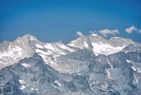
Bear Creek Sphire, Peak 13268, Mt Dade, Mt Abbot and Mt Mills from Mt Tom
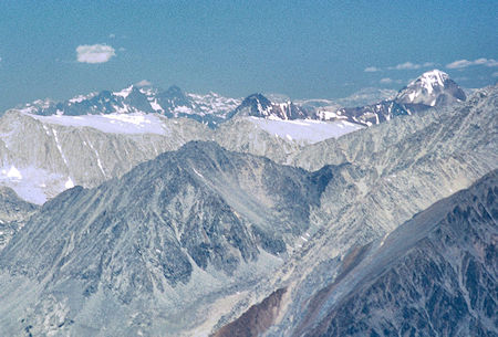
Telephoto from Mt Tom - Banner Peak and Mt Ritter to the left, Red & White Mtn to the right
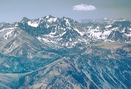
Telephoto from Mt Tom - Mt Sill to the left, Mt Whitney in the distance, Bishop Pass and Table Mountain
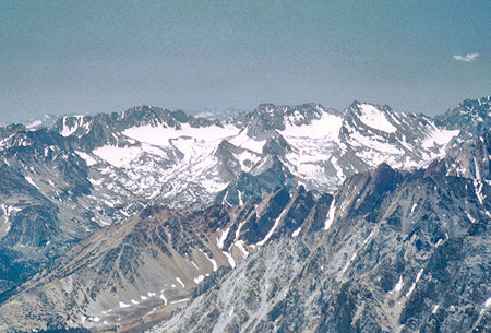
Telephone from Mt Tom - Mt Wallace, Mt Haekle, Darwin area
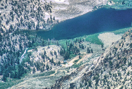
Horton Lake from Mt Tom - notice the mine buildings
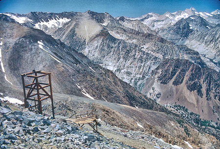
Tungstar Mine, Pine Creek across the center, Bear Creek Sphire far upper right
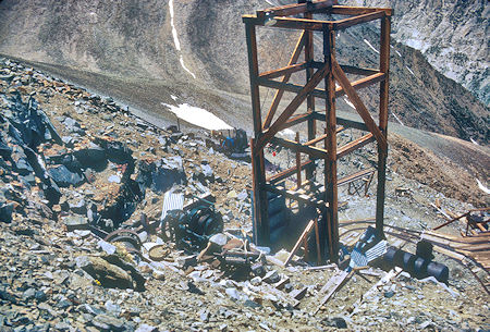
Tungstar Mine
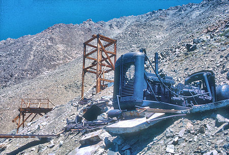
Tungstar Mine
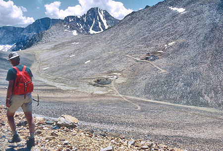
Looking toward Hanging Valley mine
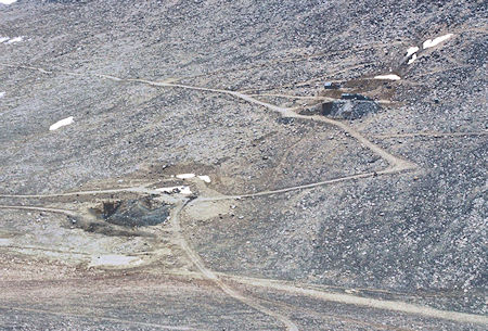
Looking toward Hanging Valley Mine
See also the Gable Lakes Trail which offers an alternate route to Mt. Tom with more pictures.