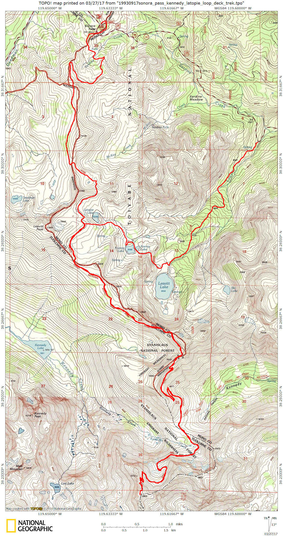
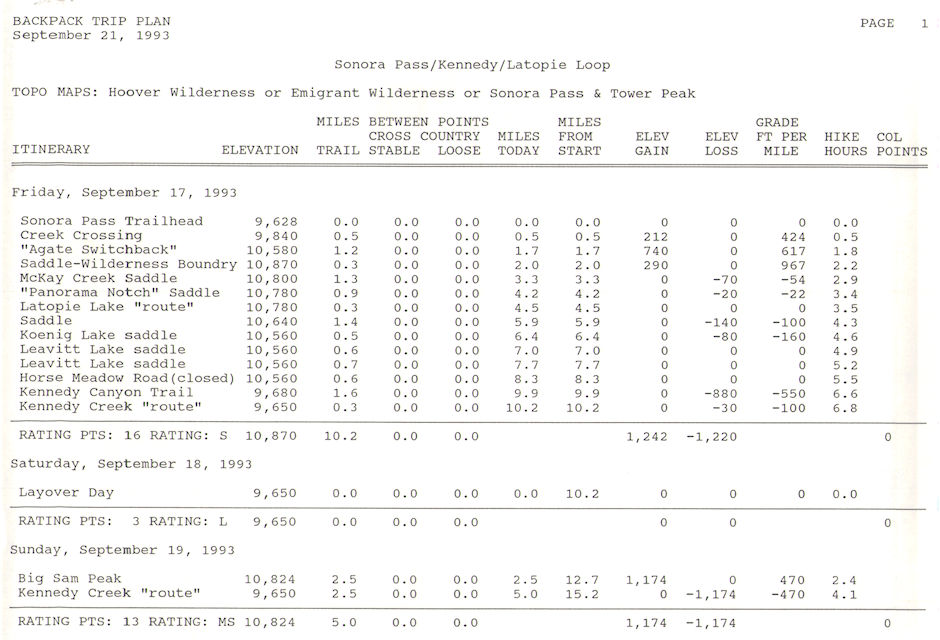
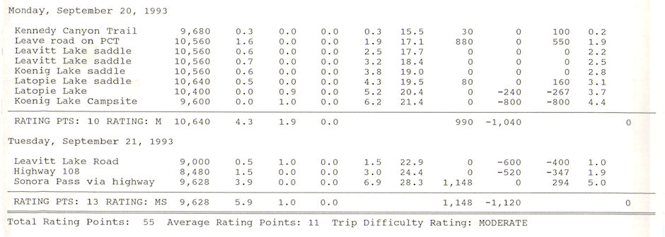
On September 17-21, 1993 I did a 28 mile backpack loop trip from Sonora Pass on Highway 108 along part of the Pacific Crest Trail and climbed 10,825' Big Sam. The route to the top of Big Sam is an old mining road. I had previously hiked over Big Sam on August 18, 1993 with Gil Beilke but threatening weather and the possibility of lightning prevented us from stopping on top.
The night before the trip I drove from Lone Pine to the Pacific Crest Trail trailhead on Sonora Pass and slept in my vehicle in the parking lot.
Friday, I headed out on the Pacific Crest Trail (PCT) with a slight dusting of fresh snow. The trail follows along or very close to the Pacific Crest in and out of the Hoover and Emigrant Wilderness areas for seven miles to where it meets the old mine road coming up from Leavitt Lake that Gil Beilke and I backpacked in mid-August. Outstanding views.
Staying on the PCT which now followed the old mine road I continued down to the saddle/pass between Kennedy Creek/Lake to the west and Kennedy Canyon to the east where the PCT turns east down into Kennedy Canyon. I camped nearby.
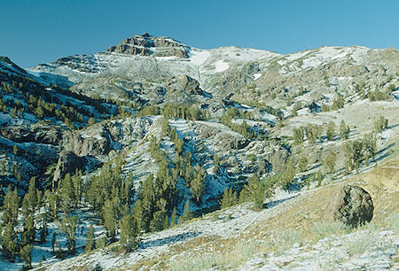
Hitting the Pacific Crest Trail south from Sonora Pass with fresh snow
Emigrant Wilderness - Sep 1993
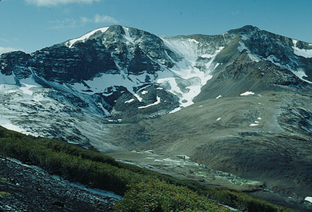
Leavitt Peak from Pacific Crest Trail, unnamed lake, fresh snow
Emigrant Wilderness - Sep 1993
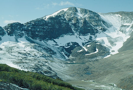
Leavitt Peak from Pacific Crest Trail, unnamed lake, fresh snow
Emigrant Wilderness - Sep 1993
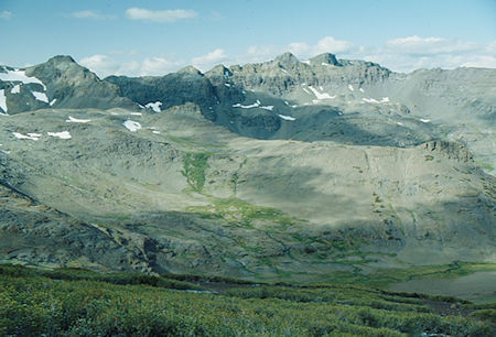
Night Cap Peak from Pacific Crest Trail across Blue Canyon
Emigrant Wilderness - Sep 1993
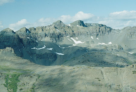
Night Cap Peak from Pacific Crest Trail across Blue Canyon
Emigrant Wilderness - Sep 1993
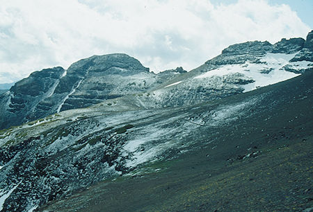
Toward Panorama Gap, McKay Creak drainage - Hoover Wilderness - Sep 2993
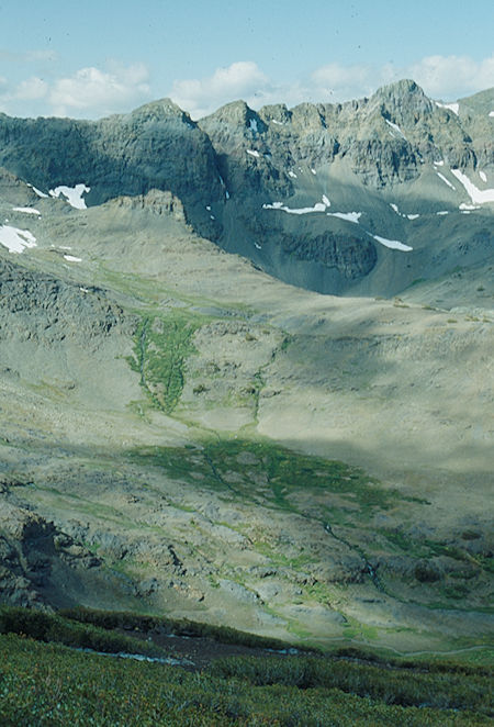
Night Cap Peak ridge from Pacific Crest Trail - Emigrant Wilderness - Sep 1993
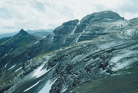
Above McKay Creek - Hoover Wilderness - Sep 1993
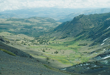
McKay Creek above Sardine Falls from Pacific Crest Trail - Hoover Wilderness - Sep 1993
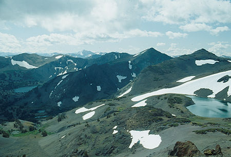
Leavitt Lake (left rear), Koenig Lake, Latopie Lake (right) from Panorama Gap
Hoover Wilderness - Sep 1993
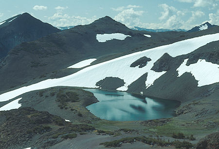
Latopie Lake from Panorama Gap - Hoover Wilderness - Sep 1993
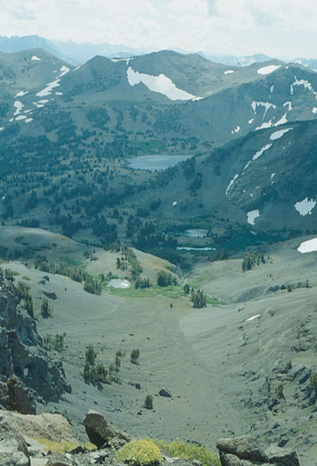
Levitt Lake, Koenig Lake from Panorama Gap - Hoover Wilderness - Sep 1993
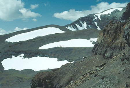
Trail and slopes of Leavitt Peak from Panorama Gap - Hoover Wilderness - Sep 1993
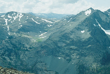
Lost Lake and Kennedy Peak from Pacific Crest Trail - Emigrant Wilderness - Sep 1993
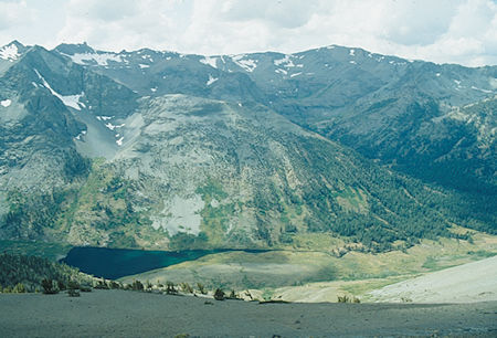
Kennedy Peak, Kennedy Lake, Soda Canyon (right) from Pacific Crest Trail
Emigrant Wilderness - Sep 1993
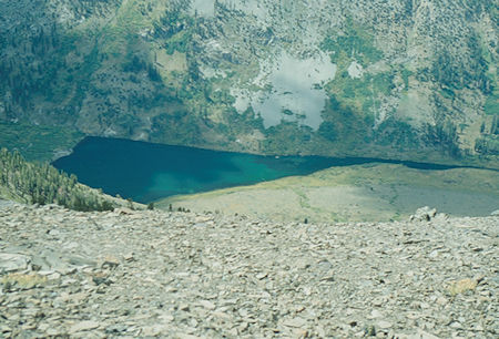
Kennedy Lake from Pacific Crest Trail - Emigrant Wilderness - Sep 1993
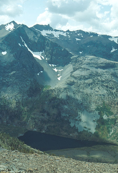
Kennedy Peak, Kennedy Lake from Pacific Crest Trail - Emigrant Wilderness - Sep 1993
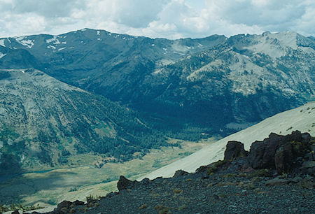
Kennedy Creek, Soda Canyon, Relief Peak from Pacific Crest Trail
Emigrant Wilderness - Sep 1993
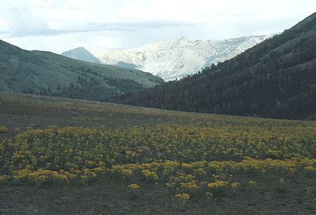
Kennedy Canyon toward Walker Meadows at saddle - Emigrant Wilderness - Sep 1993
Saturday, I laid over reading a book. Turns out it was the opening weekend of hunting season and I heard other campers nearby. A Fish and Game Warden stopped by. He was checking on the hunters to make sure they didn't start hunting before the season actually opened.
Sunday, I decided to hike to the top of Big Sam Peak. The route is an old mining road that goes into the Emigrant Lakes basin and beyond. The road goes almost over the top of Big Sam. Great views.
The rocky summit provides excellent views, especially to the south and west. The actual summit is located just east of where the road/trail tops off. Peaks in the area include Leavitt Peak, Kennedy Peak, Molo Mountain, and Tower Peak. At certain times of year there is a great wildflower display on the peak. Although this may not be a technically demanding peak, the great views make it worthwhile.
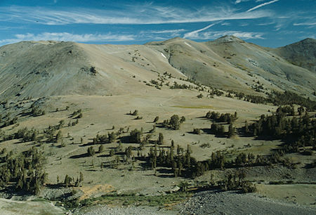
Kennedy saddle and road/trail to Levitt Lake from Big Sam mining road/trail
Emigrant Wilderness - Sep 1993
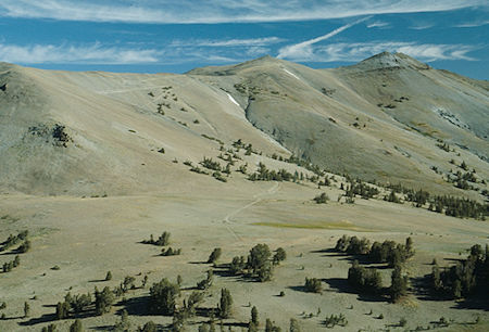
Kennedy saddle and road/trail to Levitt Lake from Big Sam mining road/trail
Emigrant Wilderness - Sep 1993
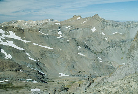
Lost Lake from near top of Big Sam - Emigrant Wilderness - Sep 1993
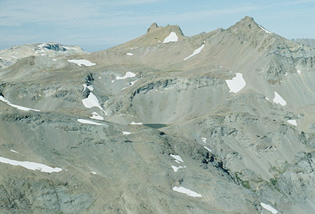
Lost Lake from near top of Big Sam - Emigrant Wilderness - Sep 1993
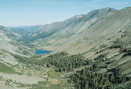
Kennedy Lake and Creek from Big Sam mining road/trail
Emigrant Wilderness - Sep 1993
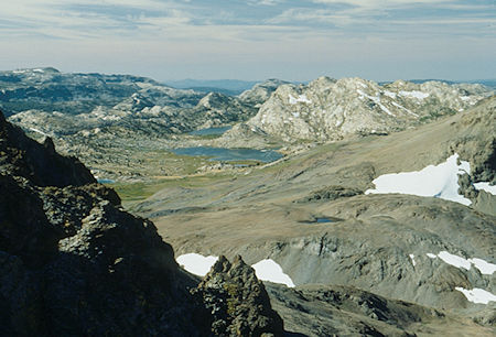
Emigrant Meadow Lake, Middle Emigrant Lake from near top of Big Sam
Emigrant Wilderness - Sep 1993
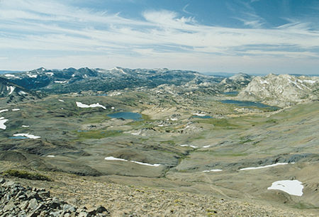
Emigrant Lakes from top of Big Sam - Emigrant Wilderness - Sep 1993
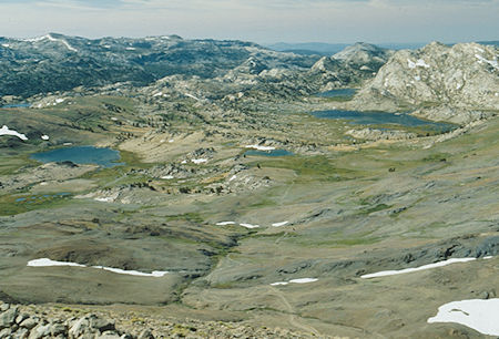
High Emigrant Lake, Red Bug Lake, Emigrant Meadow Lake, Middle Emigrant Lake
from top of Big Sam - Emigrant Wilderness - Sep 1993
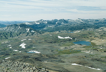
Grizzly Peak, High Emigrant Lake, Snow Lake, etc. from top of Big Sam
Emigrant Wilderness - Sep 1993
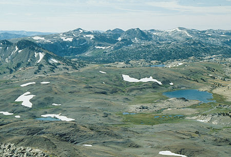
Grizzly Peak, High Emigrant Lake, Snow Lake, etc. from top of Big Sam
Emigrant Wilderness - Sep 1993
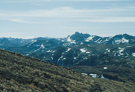
Tower Peak from top of Big Sam - Emigrant Wilderness - Sep 1993
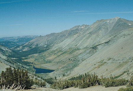
Kennedy Lake and Creek from Big Sam road/trail - Emigrant Wilderness - Sep 1993
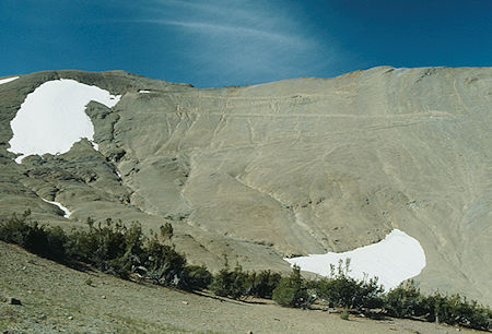
Big Sam road/trail - Emigrant Wilderness - Sep 1993
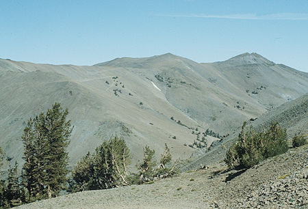
Road/trail to Leavitt Lake from Big Sam road/trail - Emigrant Wilderness - Sep 1993
Monday, I headed back on the Pacific Crest Trail toward Sonora Pass. At the east side of Leavitt Peak I dropped down cross-country to Latopie Lake and continued cross-country to Koenig Lake to camp.
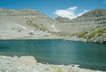
Latopie Lake and Panorama Gap - Hoover Wilderness - Sep 1993
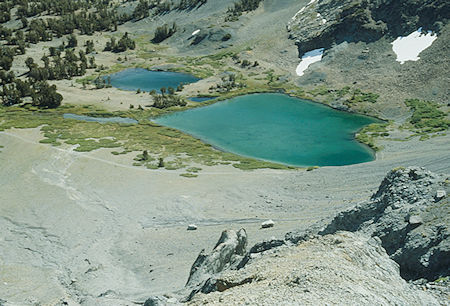
Koenig Lake - Hoover Wilderness - Sep 1993
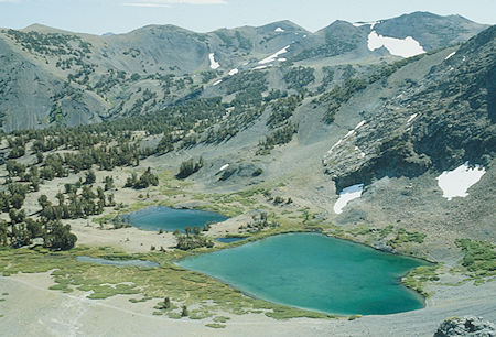
Koenig Lake - Hoover Wilderness - Sep 1993
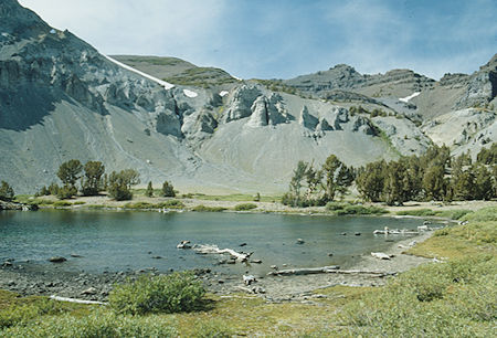
Looking over Koenig "pond" toward Panorama Gap - Hoover Wilderness - Sep 1993
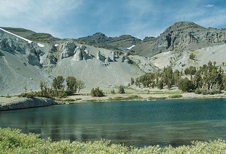
Looking over Koenig "pond" toward Panorama Gap - Hoover Wilderness - Sep 1993
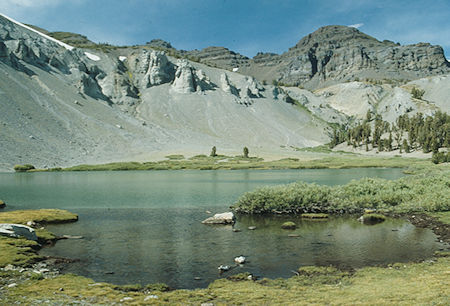
Looking over Koenig Lake toward Panorama Gap - Hoover Wilderness - Sep 1993
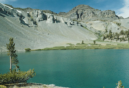
Looking over Koenig Lake toward Panorama Gap - Hoover Wilderness - Sep 1993
Tuesday, I headed cross-country to Leavitt Lake and then followed the jeep road out to Highway 108. This is where the road over Big Sam and beyond starts. I then hiked almost four miles on Highway 108 back to my vehicle at Sonora Pass. Along the way I saw the same Fish and Game Warden I had met on Saturday.
