On June 23-24, 1962 I climbed 13,899' Mt. Agassiz with a group from San Diego consisting of (Explorer Post 360, Explorer Post 500 & Sierra Club) - Don Deck, Bob Brooks, Mike Smith, Clint Powell, Brad Sonka, Mike Harris, John Butler, Allen Sanford, Dick Pasek, Art Ravenscroft, Skip Anderson, Chuck Meyer, Mike Warren, John Burdine, Jay Burdine, Wendell Stewart, James Stewart, Dick Fiske, Skip Gray, Bill Thomas, Topper Thomas, Ron Gibbs, Rossella Kimble, Stretch Kimble, Tom Beeler, Jocelyn Ingram, Mary Peters, Paul Hession, John Miller (Ireland), Steve Barinka, John Hoffman, Ray Bond, Henry Mandolf, Vincent Henrissy, Howard Jordan, Laurence Ressiguie, Jim Moore, Meldon Merrill, Larry Stickney.
After driving up from San Diego it was an easy 6 mile hike into Saddlerock Lake. Saddlerock Lake was frozen and there was some snow on the trail. Long Lake partly frozen. Found minimal but adequate camping at Saddlerock Lake. Bill Thomas + 4 climbed Mt. Goode Saturday afternoon - easy. Twenty two made the top of Agassiz on Sunday. It was a snow climb to Bishop Pass, then a rock scramble with little snow to the peak. We were able to glissade over 1000 feet down from the peak to the pass. Wonderful weather and views. Took 4 hours to peak (slow) and 2 hours down. Total trip was 16 miles round trip. See map at end of page.
Mount Agassiz, at 13,899 feet, is one of the twenty highest peaks of California. It is the northernmost and easiest to climb of the major Palisades summits. This peak is not to be confused with the 9967ft peak by the same name in Desolation Wilderness, also in the California Sierra.
Agassiz is at the north end of the Palisades in the eastern Sierra Nevada, near Bishop Pass. It stands on the boundary between Kings Canyon National Park and Inyo National Forest, and Fresno and Inyo counties.
In 1879, Lilbourne Winchell named it Agassiz Needle for Harvard University professor of zoology and geology Louis Agassiz. Later, the USGS recognized it by its current name.
There are three major routes to Agassiz's summit. Norman Clyde made the first recorded ascent on August 30, 1925. The easiest is the west slope, both for its non-technical ascent and proximity to the Bishop Pass Trail. From South Lake, the trail climbs gently to Bishop Pass, and the summit route begins there. An attempt to ascend from the west via a chute can lead off route, to areas requiring more technical mountaineering skills and equipment.
Another class 2 scrambling route is the southeast face by way of the south ridge, from Agassiz Col.
A more technical route is the northeast face, which requires class 4 climbing. Norman Clyde established it by following a canyon, couloir and arête from Fifth Lake.
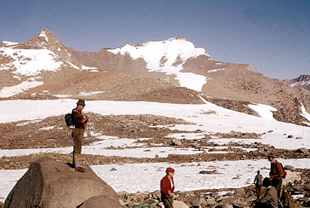
Mt. Goode from Bishop Pass - John Muir Wilderness 24 Jun 1962
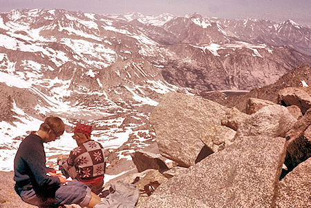
Saddlerock Lake Basin, South Lake, looking north from top of Mt. Agassiz
John Muir Wilderness 24 Jun 1962
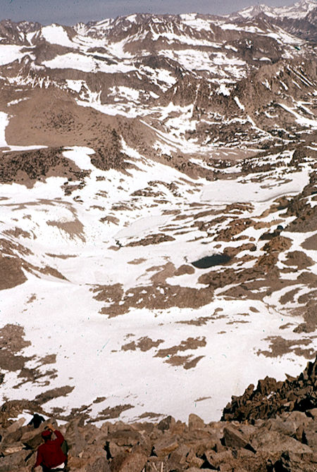
Looking down slope from Mt. Agassiz into Saddlerock Lake Basin
John Muir Wilderness 24 Jun 1962
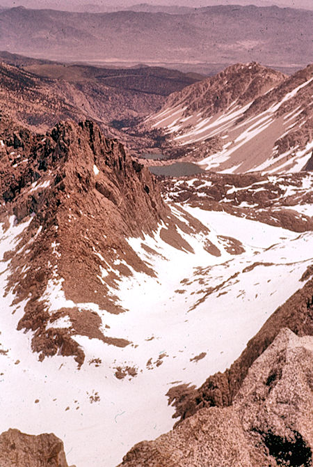
View east down Big Pine Creek from Mt. Agassiz - John Muir Wilderness 24 Jun 1962
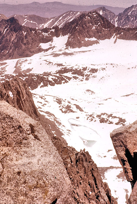
Palisade Glacier, Mt. Gayley, Temple Crag, unnamed lake from Mt. Agzssia
John Muir Wilderness 24 Jun 1962
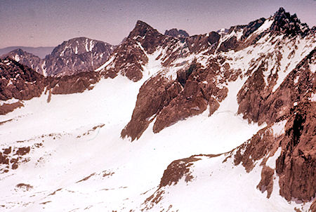
Mt. Gayley, Mt. Sill, North Palisade, Palisade Glacier from Mt. Agassiz
John Muir Wilderness 24 Jun 1962
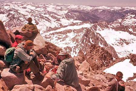
View west from Mt. Agassiz (includes John Miller from Ireland)
John Muir Wilderness 24 Jun 1962
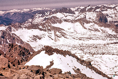
View south to headwaters of Kings Canyon from Mt. Agassiz
John Muir Wilderness 24 Jun 1962
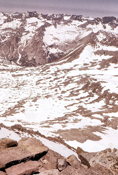
LeConte Canyon and Dusy Basin from Mt. Agassiz - John Muir Wilderness 24 Jun 1962
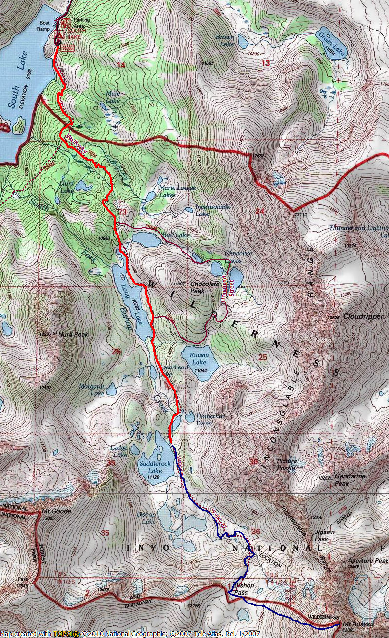
The RED line is the backpack route, the BLUE line is the approximate climb route for Mt. Agassiz
Fifteen years later, on May 14-15, 1977 myself, Tom Lanshaw, Frank Nikolaus and Mike Gianitsis set out to climb Mt. Agassiz. We hit the trail at South Lake about 8:30 a.m. and immediately had several inches of snow on the trail. This presented no real problem except made the going slow.
We stopped about 11:30 for lunch about half way along Long Lake. The snow got a little more troublesome as we climbed the final hill to Saddlerock Lake. I fell one foot in the creek and Mike had some problems, but we made the lake and camp about 4 p.m.
We had a pleasant day and camp. Tom had forgotten his sunglasses and had some eye burn. All of us had sunburn with Mike and Frank getting some blisters. We therefore decided not to try a peak in order not to get much more sun. We left about 11 a.m. and after a brief lunch stop, made the car shortly after 2 p.m. It was a great weekend, even though we didn't make the peaks.
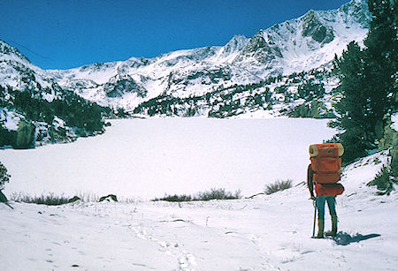
Long Lake - John Muir Wilderness - 14 May 1977
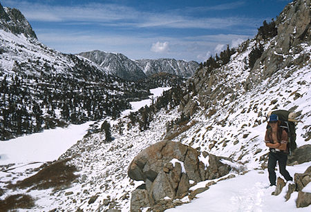
Long Lake and Spearhead Lake - John Muir Wilderness 14 May 1977
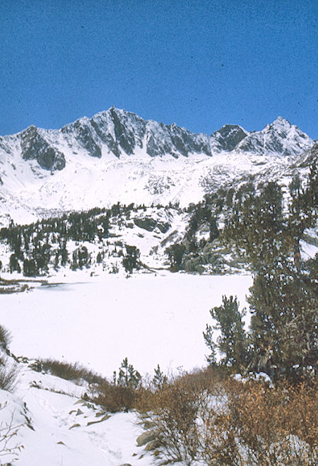
Long Lake - John Muir Wilderness - 14 May 1977
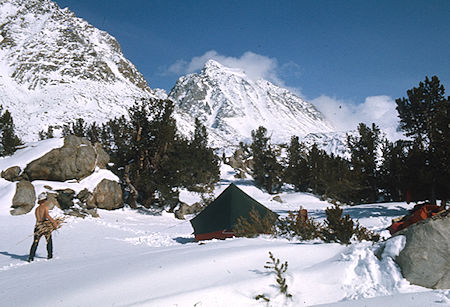
Camp at Saddleback Lake, Frank Nickolaus gathering wood
John Muir Wilderness 14 May 1977