On July 19-20, 1975 I attempted to climb 12,520' Mt. Tinemaha with Gil Beilke and Scott & Marilyn Morton on a 12 mile round trip. Gil and Scott made the peak while I had to stop due to route/time problems.
Mt. Tinemaha lies to the east of the Sierra Crest due east of Mt. Prater and northeast of Split Mountain which I climbed on a Sierra Club trip in 1960. From the summit, the views include the massive Birch Mountain to the north, the expanse of the Owens Valley from the northeast to the southeast, Split Mountain to the southwest, and an awesome view of the Sierra Crest stretching northwest to the Palisades.
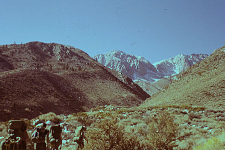
Mt. Tinemaha - John Muir Wilderness
Hitting the trail up Red Mountain Creek 1960
The standard route (South Drainage from the East) is via Red Lake, then up a low angle drainage to a ridge. The summit is then just a short distance to the right (east). This route is simple Class 2. Unfortunately I got off route and didn't make it to the top of Mt. Tnemaha.
Access to the Red Lake trailhead may be the most difficult part of climbing Mt. Tinemah. You will need a high clearance vehicle. 4WD is probably not necessary under normal conditions, but is recommended. In addition, be prepared for scratched paint as the road is narrow and overgrown in some portions and the desert shrubs will add some nice pin-striping to your vehicle if you come into contact with them.
We left Lone Pine about 7 a.m. and drove to the Tinnemaha campground and up the usual road to Red Mountain Creek. We found locked gates and after talking to the land owner, drove cross-country around his fence line. It seems the only road is from Big Pine via McMurry Meadows, which is the way we came out. As of January 2015 you will find detailed driving information here. For U.S. Forest Service information about the trailhead and trail click here.
At the roadhead we climbed straight up the steep hill over 500 feet to the trail which then goes almost level along the hillside to some forks in the creek. Then climbs steeply up a gully, then rounds a ridge and climbs to within a few feet of the creek - the first water in several miles.
Gil had gone on and made the lower lake where we camped at about 12:30. I made the creek about 1, and stopped for a hour lunch rest. Marilyn was going slow and Scott stayed with her.
Above my lunch stop the trail is overgrown with bushes which you thread your way through. Finally you break out into a fairly good open trail for the final climb to the lower lake. A rough trail extends to Red Lake nearby. I left my lunch stop at 2 and made camp by 4, while Gil went back down to give Marilyn a hand.
I took a pleasant swim and sunbathed for about half an hour, then began supper preparations about the time Gil arrived with Marilyn's pack (around 5:30) - Marilyn and Scott arrived about 6:30 and we enjoyed a good supper.
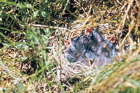
Toward the end of supper we discovered a bird nest with three young birds on the ground in the grass near where we were cooking - this explained the constant chirping of mother and father in nearby bushes. We moved to a new location so the bird parents could take care of their young.
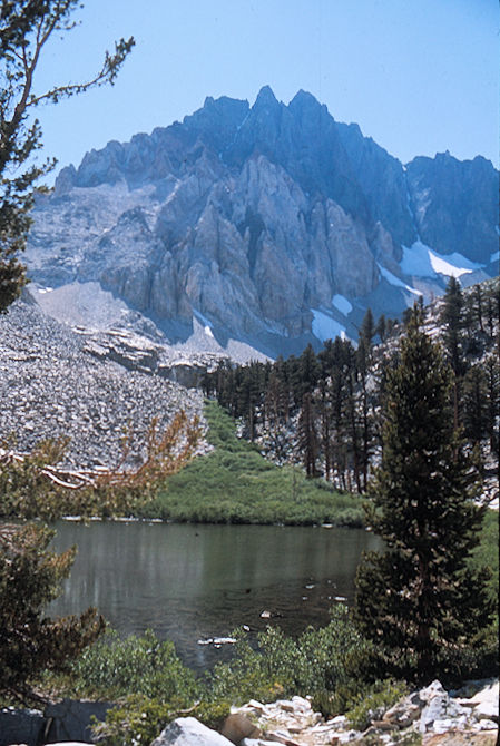
Mt. Tinemaha - John Muir Wilderness
Split Mountain over lower Red Lake
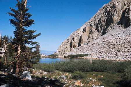
Mt. Tinemaha - John Muir Wilderness - Lower Red Lake
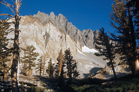
Mt. Tinemaha - John Muir Wilderness - Split Mountain
Sunday, Gil had us up about 5:30 a.m. and after breakfast we headed for Mt. Tinemaha. Gil and Scott took a ridge route while I took the class 2 southwest slope route. I climbed to the ridge too soon and ran into the same pinnacles that Gil and Scott found. Gil worked his way through the pinnacles to the peak while Scott descended 200 feet and climbed back up to reach the peak.
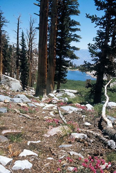
Mt. Tinemaha - John Muir Wilderness - Lower Red Lake
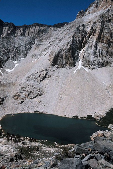
Mt. Tinemaha - John Muir Wilderness
Red Lake and Split Mountain
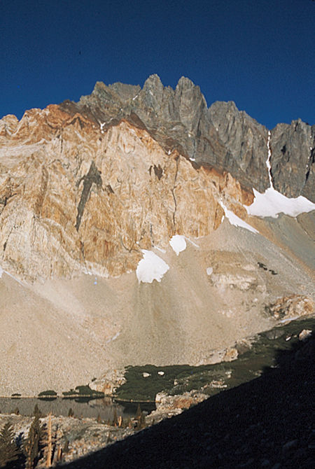
Mt. Tinemaha - John Muir Wilderness
Red Lake and Split Mountain
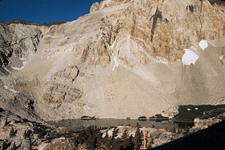
Mt. Tinemaha - John Muir Wilderness
Red Lake and Split Mountain
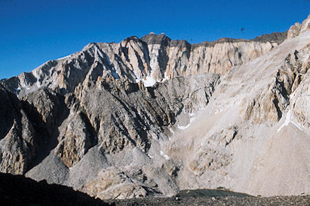
Mt. Tinemaha - John Muir WildernessRed Lake and Southern Ridge of Split Mountain
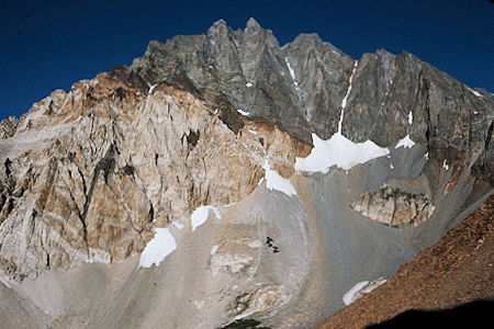
Mt. Tinemaha - John Muir Wilderness - Split Mountain
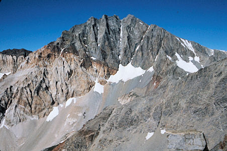
Mt. Tinemaha - John Muir Wilderness
Split Mountain from Mt. Tinemaha ridge
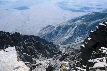
Mt. Tinemaha - John Muir Wilderness - Looking down on
Red Mountain Creek from 12,000' on Tinemaha ridge
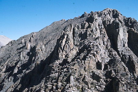
Mt. Tinemaha - John Muir Wilderness
Tinemaha ridge and peak
I was out of time and energy so stopped at this point - missing only the views into Tinemaha Creek - I reached about 12,200 feet at about 9 a.m. Meanwhile, Gil traversed west and climbed another unnamed peak slightly higher than Tinemaha. We all started down from our respective perches about 10:15 and followed the westerly valley back to camp - arriving about noon.
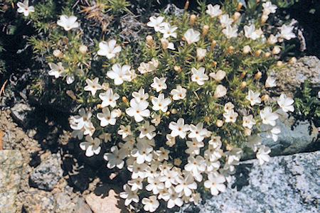
Mt. Tinemaha - John Muir Wilderness
Flowers along Red Mountain Creek
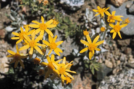
Mt. Tinemaha - John Muir Wilderness
Flowers along Red Mountain Creek
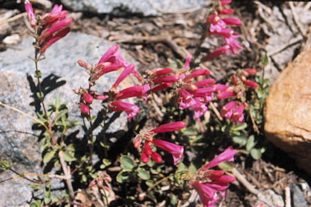
Mt. Tinemaha - John Muir Wilderness
Flowers along Red Mountain Creek
Mt. Tinemaha - John Muir Wilderness
Hungry birds along Red Mountain Creek
After a quick lunch we headed down for the cars - taking about 2 hours and arriving around 3 p.m. We drove back to the highway via the McMurry road to Big Pine and were back in Lone Pine about 5 p.m. where the south landers headed for home. It was a tiring but pleasant trip - great scenery in the upper reaches.

