I backpacked in the Kennedy Meadows Area three times and did a day hike once. The area is in the Golden Trout and South Sierra Wilderness (which didn't exist at the time) and includes some privately owned land that is used for cattle grazing. There is a 4-Wheel Drive road available to the public in this area.
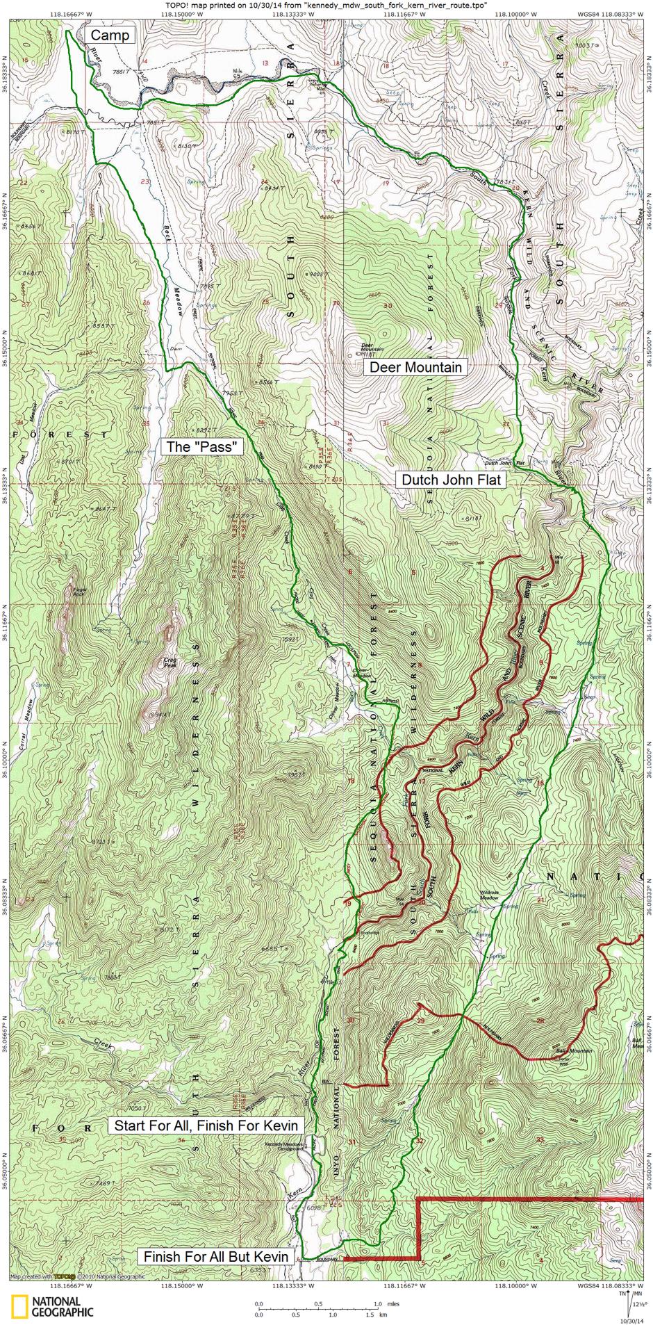
My fourth trip was a backpack on November 4-5, 1972 with myself, Kevin Twohey, Lawrence O'Leary, George Brady, Brian Twohey and Paul Robotta started from Kennedy Meadow campground in light intermittent snowfall with intent of going to Deer Mountain and Dutch John Flat. Much of the first day's route would be designated as part of the Pacific Crest National Scenic Trail which was created in 1968.
In about 7 miles with a climb of about 1900 feet we got to the "pass" and the trail junction at 8088' (high point of the trip). It was snowing heavily and most of the group wasn't prepared for the wind so we changed our plans and stayed lower and headed toward Beck Meadow at about 7860'.
The storm cleared so we continued on to the southern end of Monache Meadows at about 7870' and camped near the South Fork Kern River which is now part of the South Fork Kern Wild And Scenic River. Day's hike was about 12 easy miles.
The next day (after a 3 degree night and an inch of ice on the river) we followed the river south and east to a trail junction at about 7750'. We continued over a ridge at 7900' and arrived at Dutch John Flat (7600') for lunch.
We then took the high trail (aka Wildrose Trail) east of the river which took us about eleven miles to the road about two miles south of the campground and car. George and I hiked the last mile or so in the dark, while Kevin, who made the road in faster time, hiked up and got the car. Kevin hiked about 18 miles for the day to total 30 miles. The rest of us hiked about 16 miles for the day to total 28 miles. Nice scenery but too long a hike for two days.
Most of this route is now in the South Sierra Wilderness created in 1984. Additional information here.

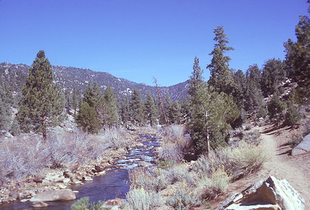
South Fork Kern River above Kennedy Meadow
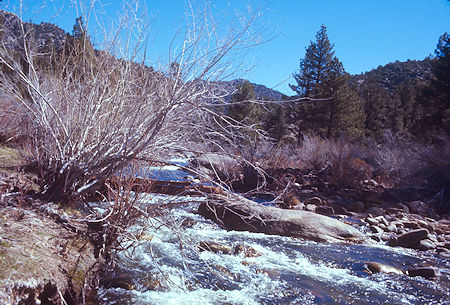
'Ford' two miles above Kennedy Meadow
on South Fork Kern River
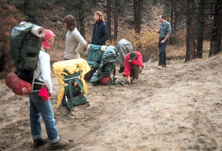
Catchup stop on trail from Kennedy Meadow
to Clover Meadow at Crag Creek
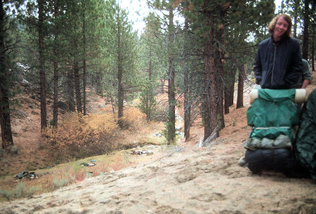
Crag Creek
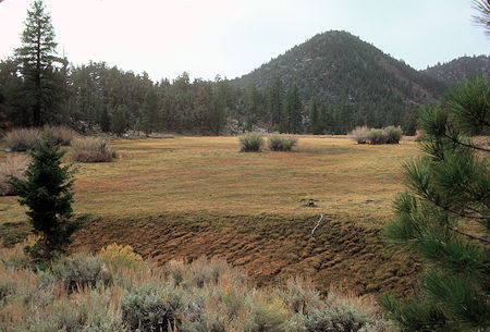
Lower Clover Meadow
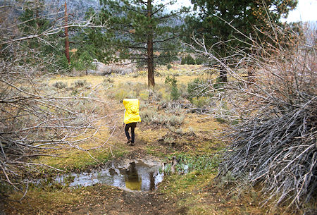
Lower Clover Meadow
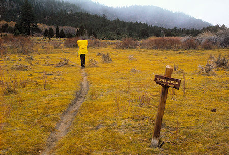
Clover Meadow
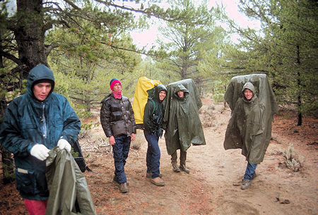
On 'pass' Crag Creek to Beck Meadow
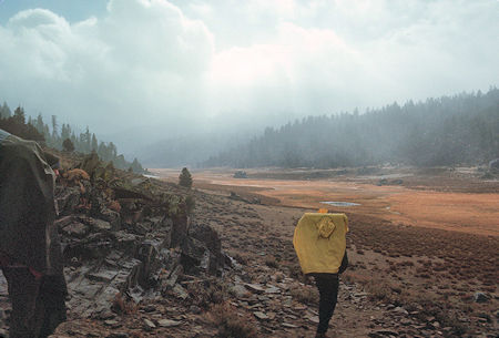
Upper Beck Meadow
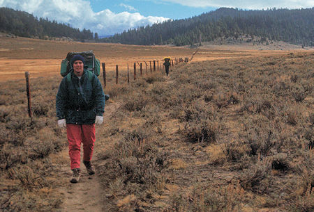
Looking south up Beck Meadow to Crag Peak and the 'pass'
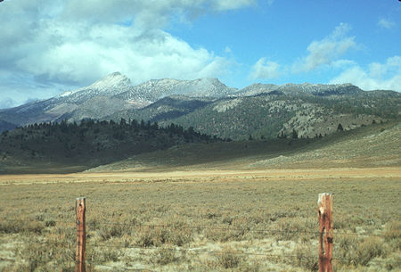
Olancha Peak from Beck Meadow
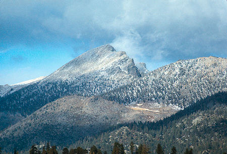
Olancha Peak from Beck Meadow
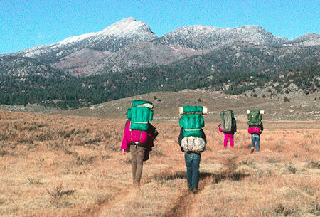
Lower Monache Meadow toward Olancha Peak
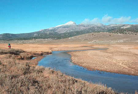
Olancha Peak over South Fork Kern River
at lower Monache Meadow
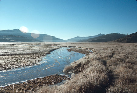
'Icy' South Fork Kern River in morning after a 3 degree night - looking south toward Beck Meadow
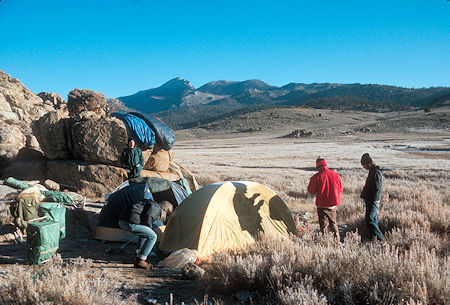
Olancha Peak from camp on South Fork Kern River
at Monache Meadow
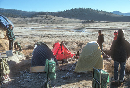
Camp on South Fork Kern River
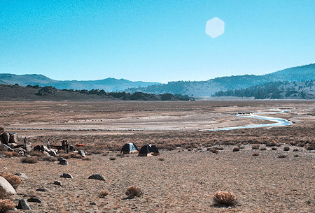
Looking down the South Fork Kern River from camp
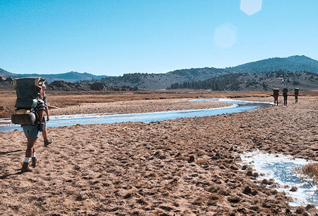
Hiking along South Fork Kern River
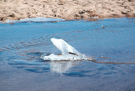
Ice Boat in South Fork Kern River after 3 degree night
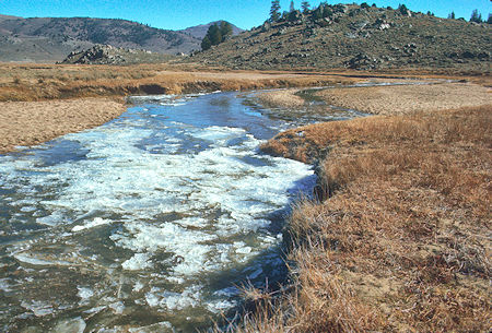
Ice jam in South Fork Kern River below Monache Meadow
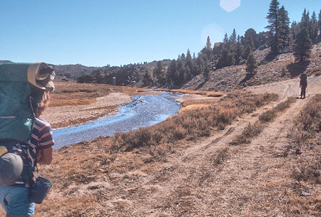
South Fork Kern River south of Monache Meadow
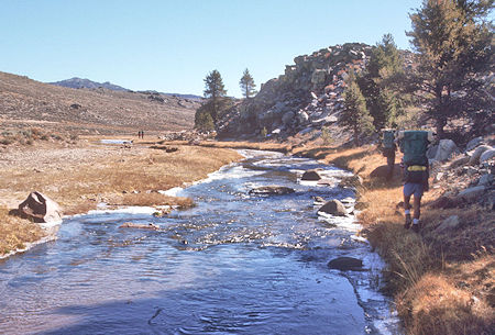
South Fork Kern River
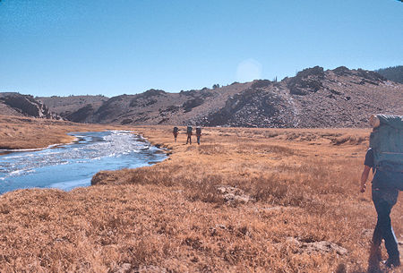
South Fork Kern River
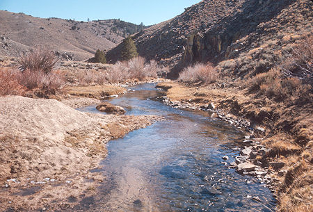
South Fork Kern River
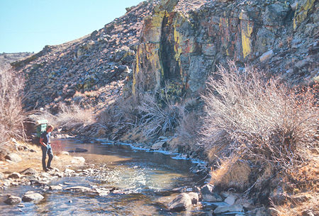
South Fork Kern River
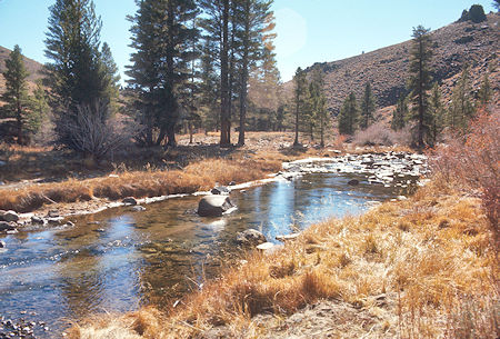
South Fork Kern River near end of road from Monache
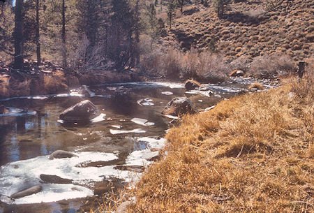
South Fork Kern River
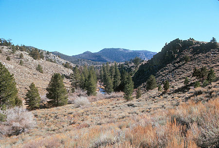
Leaving South Fork Kern River to climb over saddle
to Dutch John Flat
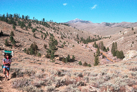
Looking back north over South Fork Kern River
on way to Dutch John Flat
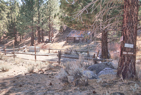
Dutch John Flat
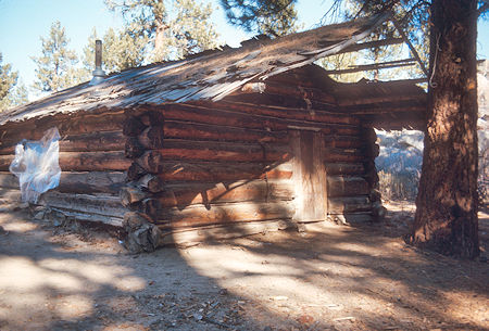
Cabin at Dutch John Flat
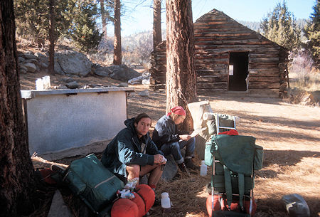
Lunch stop at Dutch John Flat