My first visit to the area was in September 1972 with Kevin Twohey, Paul Smith, Brian Twohey, Paul Robotta and Curt Sayer from San Diego ... we backpacked up Bloody Canyon from Walker Lake north of Silver Lake on the June Lake loop to Mono Pass and camped nearby while exploring the area on Labor Day weekend.
The "Mono Trail" up Bloody Canyon over Mono Pass was a major Trans-Sierra route for local Indians and for whites in the mid-1800's. Gold was found here by an Army patrol in 1852. The area became the Prescott mining district and Leroy Vining was one of the early prospectors.
In her book Mines of the Eastern Sierra, La Siesta Press, 1966 Mary DeDecker writes:
"At the very summit of Mono Pass, above timberline, are situated three mining claims, the Ella Bloss, Ella Bloss No. 2, and the Golden Queen. It is interesting to note that patents for the first two were granted to some of the principal stockholders of the Great Sierra Consolidated Silver Company, including Thomas Bennett, Jr., at about the same time that operations were resumed at the Tioga Mines after the sheriff's sale [see the book for details on this]. The Ella Bloss, with one corner in Tuolumne County, and in the Tioga [mining] District, is of particular interest because of the picturesque and well preserved old log mine buildings located upon it. Down the trail toward Dana Meadows, at the upper edge of the forest, the walls of a primitive log cabin still stand. One wonders if it might have served as the last outpost in the days when the Mono Trail was a well-traveled thoroughfare."
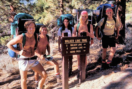
Paul Smith, Kevin Twohey,Brian Twohey, Paul Robotta and
Curt Sayer at the trailhead
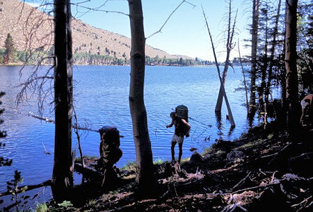
Walker Lake
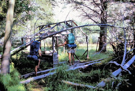
Tent cabin frame near Walker Lake
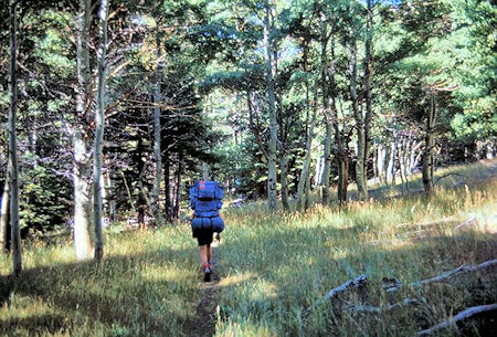
On the trail near Walker Lake
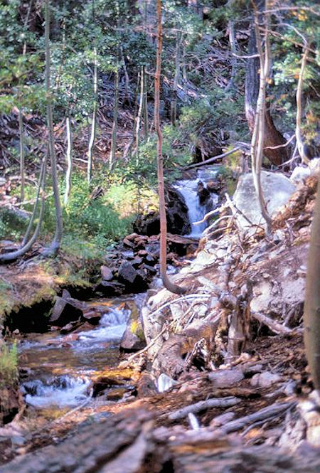
The stream in Bloody Canyon
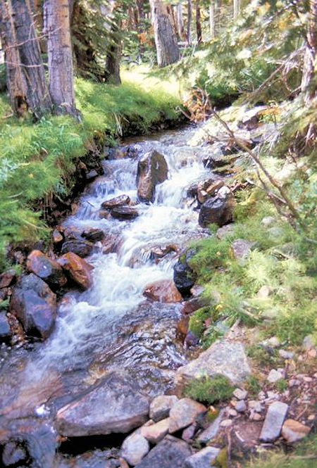
The stream in Bloody Canyon
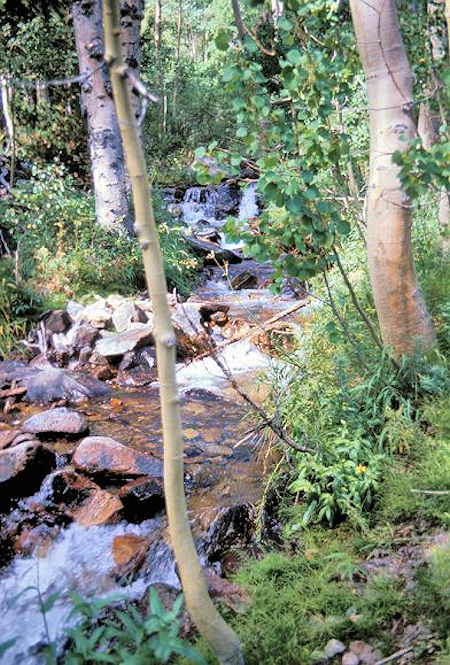
The stream in Bloody Canyon
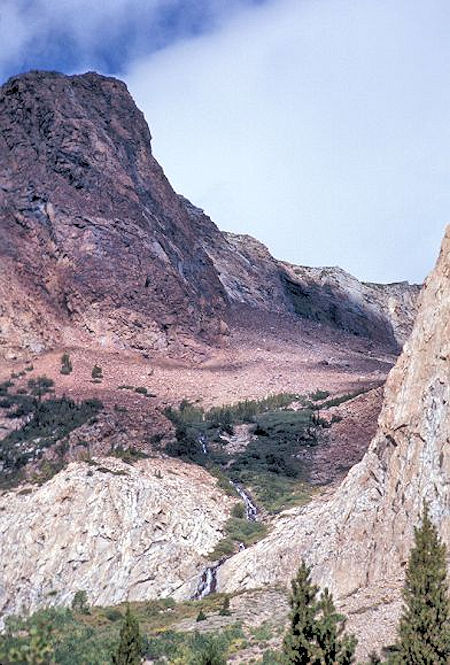
Side canyon from the Bloody Canyon trail
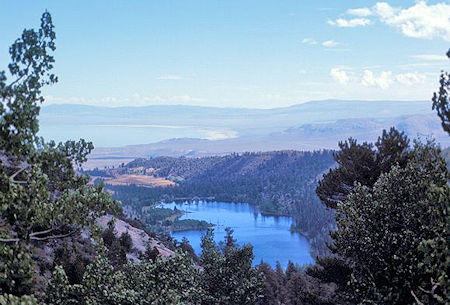
Mono Lake and Walker Lake from Bloody Canyon Trail
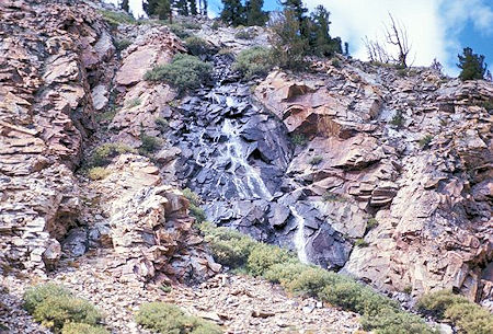
A cascade seen from the trail below Lower Sardine Lake
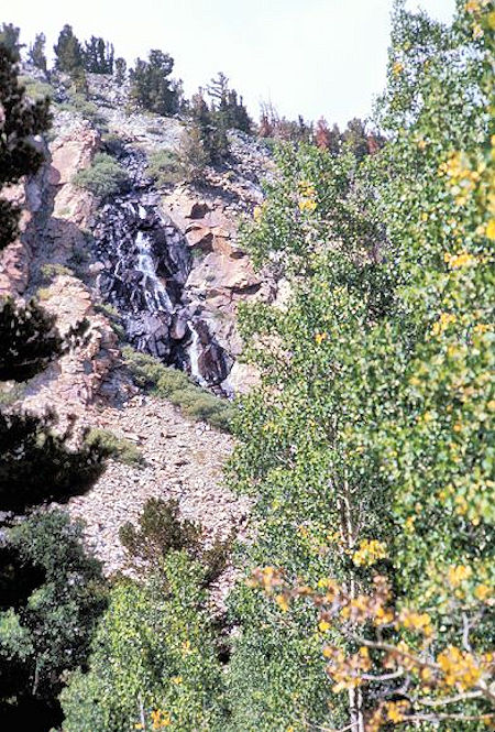
Waterfall in side canyon from Bloody Canyon Trail
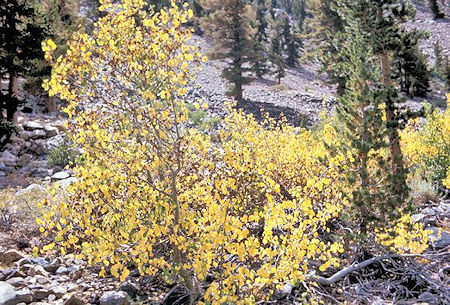
Fall colors along the Bloody Canyon Trail
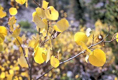
Fall colors along the Bloody Canyon Trail
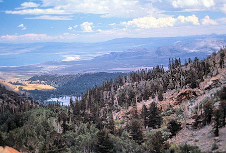
Walker Lake and Mono Lake from the trail
below Lower Sardine Lake
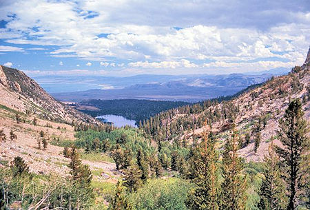
Walker Lake and Mono Lake from the trail
below Lower Sardine Lake
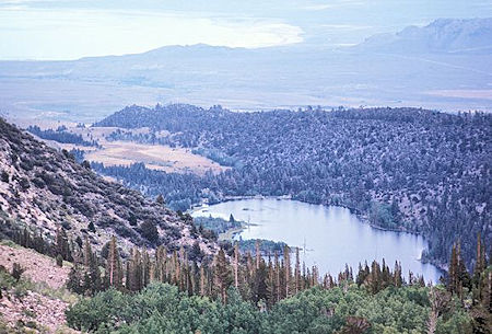
Telephoto of Walker Lake from the trail
below Lower Sardine Lake
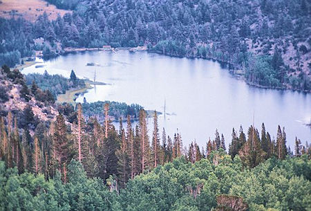
Telephoto of Walker Lake from the trail
below Lower Sardine Lake
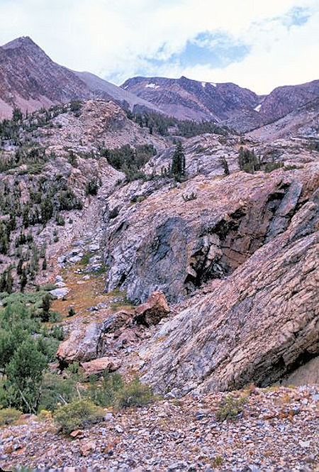
Scene along the trail just below Lower Sardine Lake
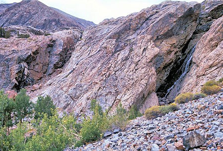
Cascade from the trail below Lower Sardine Lake
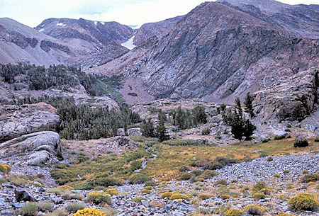
Scene along the trail just below Lower Sardine Lake
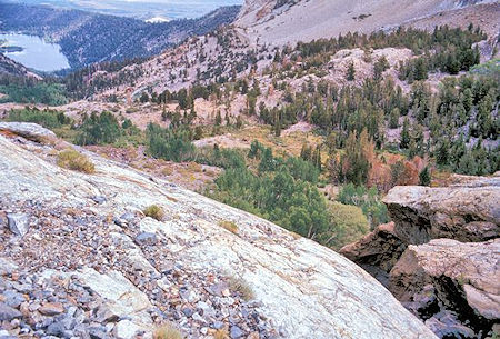
>From just below Lower Sardine Lake you get a good view of Walker Lake and the lay of the land. The trail from the Forest Service trailhead comes up over the ridge to the right of the lake, then drops down to the lake at its upper end
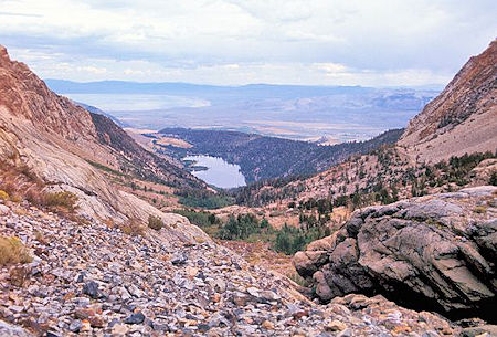
From just below Lower Sardine Lake you can see Walker Lake and part of Mono Lake. From Walker Lake the trail climbs just under 2000 feet in about 3 miles
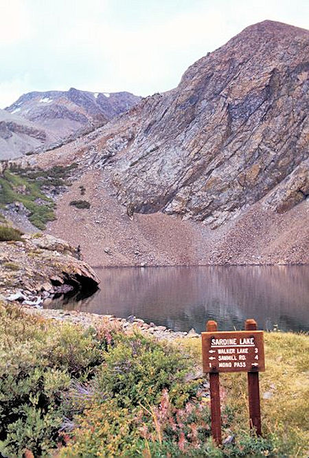
Lower Sardine Lake
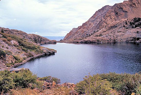
Lower Sardine Lake
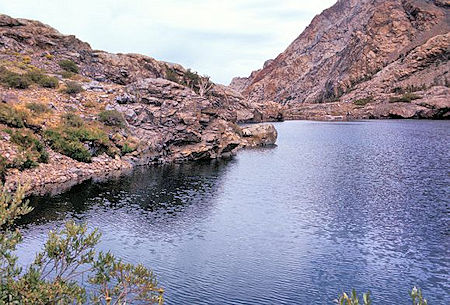
Lower Sardine Lake
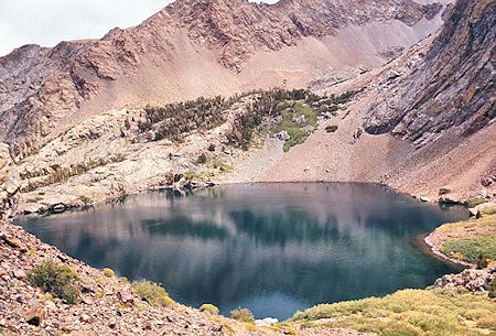
Lower Sardine Lake
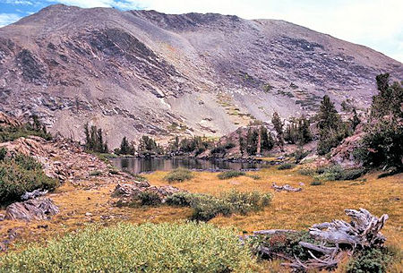
Shortly before arriving at Upper Sardine Lake the trail passes this pond. The high point on the left is at or near the top of Mt. Lewis>
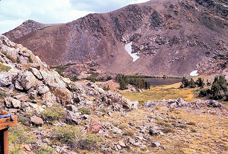
Upper Sardine Lake
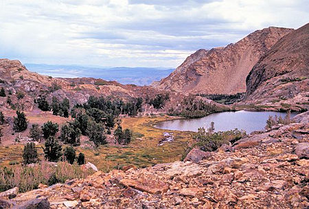
Upper Sardine Lake. A little of Mono Lake peeks over the ridge
on the left
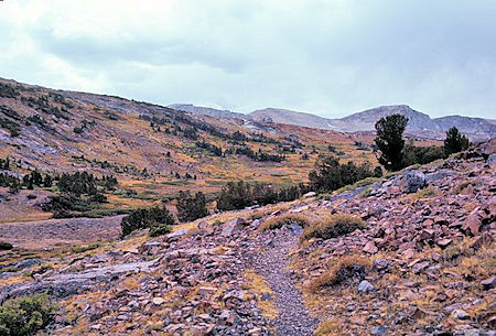
Approaching Mono Pass above Upper Sardine Lake
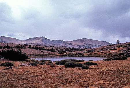
Summit Lake is just across the boundary at Mono Pass in
Yosemite National Park
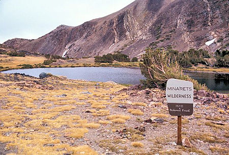
Summit Lake at the boundary between Yosemite National Park and Inyo National Forest at Mono Pass. The Minarets Wilderness has since been renamed the Ansel Adams Wilderness>
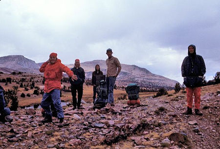
Curt Sayer "threatens" the photographer while Paul Robotta, Brian Twohey, Paul Smith and Kevin Twohey look on at Mono Pass
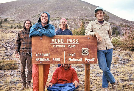
Brian Twohey, Kevin Twohey, Paul Robotta, Paul Smith .. and under the sign Curt Sayer at Mono Pass
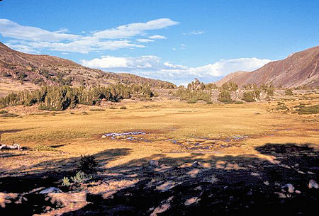
We camped in a clump of trees just west of Mono Pass inside the Park (which is now illegal.. no camping in the Dana Fork drainage) .. this is the view back toward Mono Pass
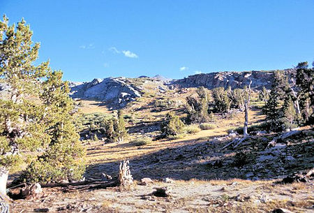
View southwest from our camp near Mono Pass
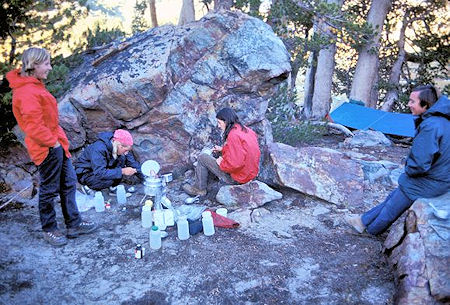
Paul Robotta cooks supper while Curt Sayer, Brian Twohey and
Kevin Twohey look on
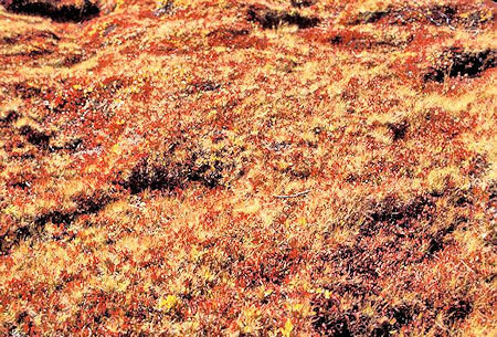
Colorful ground cover near Mono Pass
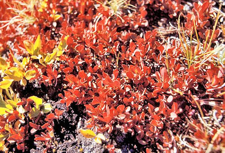
Colorful ground cover near Mono Pass
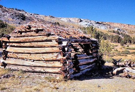
Mine cabin circa 1890's at Mono Pass
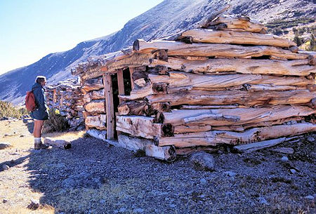
Kevin Twohey checks out mine cabins circa 1890's at Mono Pass
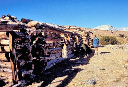
Kevin Twohey checks out mine cabins circa 1890's at Mono Pass
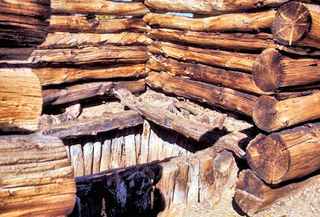
Vertical mine shaft and buildings at Mono Pass
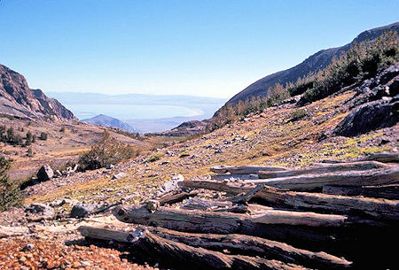
View of Mono Lake from mine cabins at Mono Pass
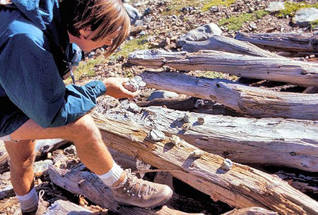
Kevin Twohey examines some "ore" samples at the mines
near Mono Pass
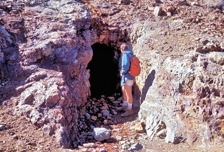
Kevin Twohey examines a mine tunnel near Mono Pass
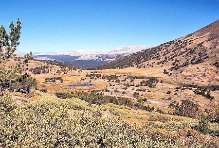
Looking northwest over Mono Pass down Dana Fork toward Tuolumne Meadows area from above the mine tunnel
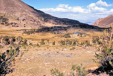
View on the way to Parker Pass
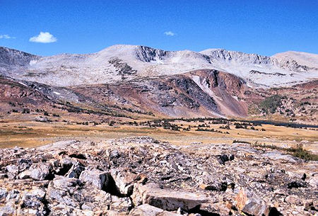
Looking generally west at the Kuna Crest skyline. Spillway Lake is barely visible on the right. The basin containing Helen Lake is on the left. Parker Pass is at or just beyond the left edge of the picture
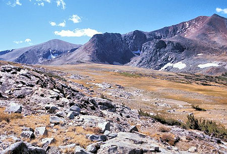
This is the view southeast across Parker Pass. The rounded gray peak on the left is Parker Peak. The depression in front of the black mountain is occupied by Parker Pass Lake
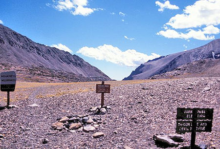
Looking southeast across Parker Pass at the boundary between Yosemite national Park and the Inyo National Forest. The Minarets Wilderness has since been renamed the Ansel Adams Wilderness
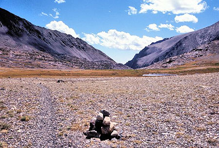
View southeast on Parker Pass
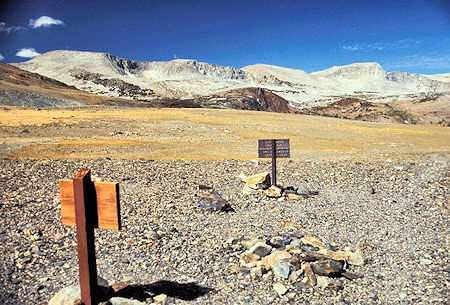
Looking westerly from Parker Pass you see the Kuna Crest. Helen Lake is located in the basin between the red and the gray rock on the left edge of the picture. There are also lakes in the two basins where you can see a small patch of snow
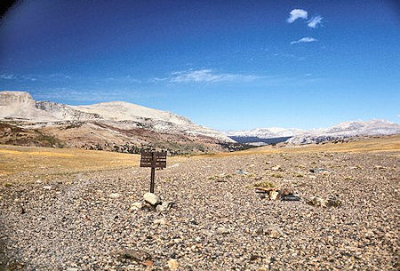
View from Parker Pass
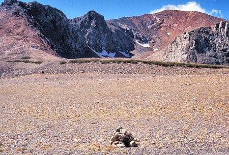
View from Parker Pass
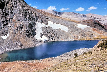
A short distance southwest of Parker Pass is Parker Pass Lake. Helen Lake is located behind the foreground ridge with the snow patches
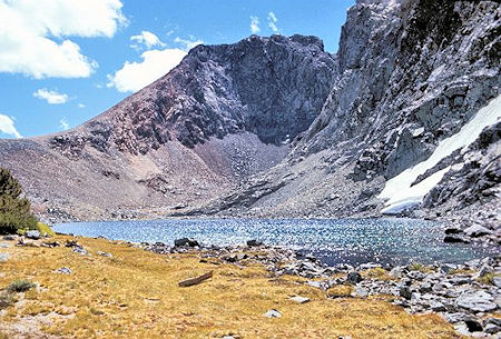
View of Parker Pass Lake from its outlet
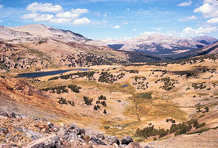
From the ridge between Parker Pass and Helen Lake you have this view of Spillway Lake and the Dana Fork. The large meadow in the trees is Dana Meadows just inside Yosemite National Park from Tioga Pass
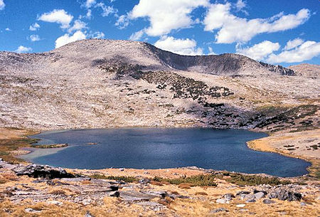
Helen Lake with the Kuna Crest on the skyline. There is a lake in the basin just right of center. It's a relatively easy hike up the slopes on the left to the top of the Kuna Crest
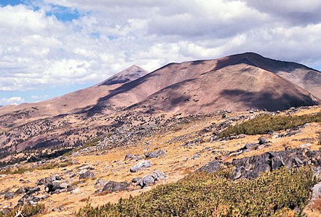
Peak on left is Mt. Dana behind Mt. Gibbs
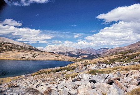
View from Helen Lake down the Dana Fork shows the Dana Meadows. Tioga Pass is just beyond the right end of the meadows
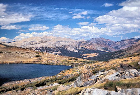
From Helen Lake looking down the Dana Fork you see the Dana Meadows. Tioga Pass is just beyond the right end of the meadows
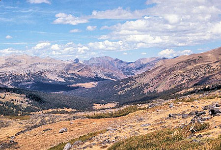
View from Helen Lake down the Dana Fork shows the Dana Meadows. Tioga Pass is just beyond the right end of the meadows
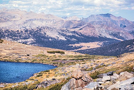
View from Helen Lake down the Dana Fork shows the Dana Meadows. Tioga Pass is just beyond the right end of the meadows
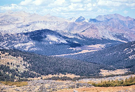
This telephoto picture from Helen Lake down the Dana Fork shows the Dana Meadows. Tioga Pass is just beyond the right end of the meadows
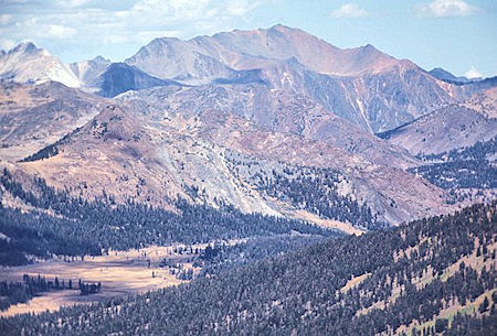
In this telephoto picture from Helen Lake you can see the Tioga Pass road along the far side of Dana Meadows. The pass and entrance station are just beyond the end of the meadow .. diagonally down from the grassy saddle on the left edge of the picture
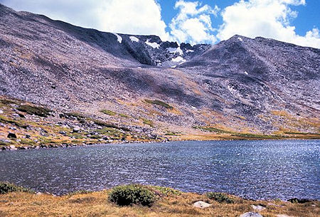
The Kuna Crest south of Helen Lake
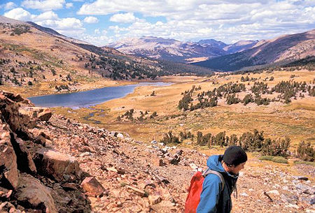
Spillway Lake and the Dana Fork while descending
from Helen Lake
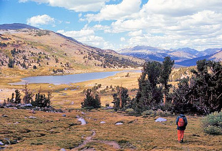
Spillway Lake on the way back to camp
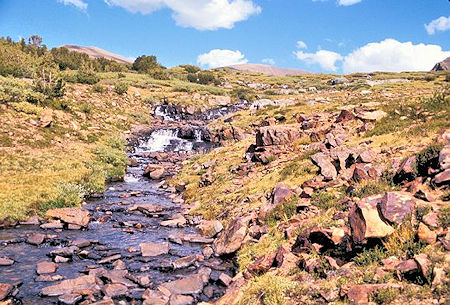
Cascading stream feeding Spillway Lake
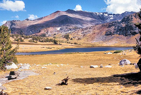
Looking across Spillway Lake toward the Kuna Crest. Helen Lake is in the basin behind the near ridge>