On September 27-28, 1975 Stan Haye and myself backpacked to the top of 9,930' Clouds Rest in Yosemite National Park.
We left Independence about 6 p.m. and after supper in Bishop proceeded to the Tuolumne Meadow campground, arriving around 10 p.m. We got up about 7:30 and after a cold breakfast got a Wilderness Permit at the Visitor Center and proceeded to the west end of Tenaya Lake, getting on the trail shortly after 9 a.m.
The hike was through pleasant forests with no water to the "pass" at the Sunrise Lake Trail junction where we arrived around 11 a.m. or so. We then dropped down and soon came to running water (after passing a dormant lake) where we ate lunch before proceeding to Clouds Rest.
We made the top via an easy trail about 2:30 p.m. and decided to spend the night. Campsites are limited but nine people ended up spending the night.
The views are great, however smoke from a fire obscured the valley and some other views.
Sunday morning, Stan headed out via the trail to Half Dome and down the Muir Trail and Mist Trail to Camp Curry in Yosemite Valley. Stan found water at several spots along the way to Half Dome.
Since I had climbed Half Dome in 1966, I headed by trail to the John Muir Trail at Sunrise Creek, up the Muir Trail to Long Meadow and the Sunrise High Sierra Camp, then via Sunrise Lakes back to the "pass" and down to the car which I drove down to Yosemite Valley and met Stan.
We then drove to Fresno for supper and a week of California State Appraiser training related to our jobs. This was a good trip - nice fall trip.
Lafayette H. Bunnell, a medical doctor with the Mariposa Battalion, notes that his party named the summit Clouds Rest because they returned to camp to avoid a snow storm after seeing "the clouds rapidly settling down to rest upon that mountain."
At 9,930' elevation, Clouds Rest is 1086 feet higher than 8,844' Half Dome.
Clouds Rest is an arête, a thin, almost knife-like, ridge of rock formed when glaciers eroded away solid rock to form Tenaya Canyon and Little Yosemite Valley. The northwest face, mostly solid granite, rises 5,000 feet above Tenaya Creek.
There are three main ways to access the summit of Clouds Rest; via the Sunrise Lakes Trailhead off of CA-120 (commonly known as the Northeast Ridge Route); via the Happy Isles Trailhead in Yosemite Valley (commonly known as the South Slope); or via the Northwest Face of the mountain.
The Sunrise Lakes Trail is a round trip hike of 14.5 miles that begins at an elevation of 8,150 feet and gains 1,776 feet over 7.25 miles to reach the summit at 9,930 feet. The summit has wide-ranging 360-degree panoramic views.
From the trailhead, you start the hike by following the trail markers for Sunrise High Sierra Camp. After the first 1.5 mile hike on the relatively flat trail, you begin to climb up the lower slope below Sunrise Mountain. The switchbacks on the slope will surely pound your heart as you are gaining 1,000 feet in elevation in just one mile before reaching the top of the slope.
On the top, you immediately encounter the Y junction for either Clouds Rest or Sunrise Lakes. Bear right for Clouds Rest and begin to follow the trail markers for it from now on. The trail beyond the junction (called Forsyth Trail) descends sharply for 0.5 miles until you reach the flat land below Sunrise Mountain. The trail on the land is about 1.7 miles long and traverses beautiful woods and a nice lake before you encounter the next junction.
Bear right at the T junction for Clouds Rest and you are about 1.5 miles away from it (though the marker says 2.5 miles). Since you're approaching Cloud's Rest from its back, you only begin to see it after passing the junction. Keep hiking up on the trail until you encounter the marker for Clouds Rest Foot Trail. Use extreme caution beyond this point as the passway on the top of Cloud's Rest is narrow and both sides are sheer drip-offs.
You can enjoy the spectacular views of Half Dome, Tenaya Canyon and surrounding mountains after a short scramble to the summit.
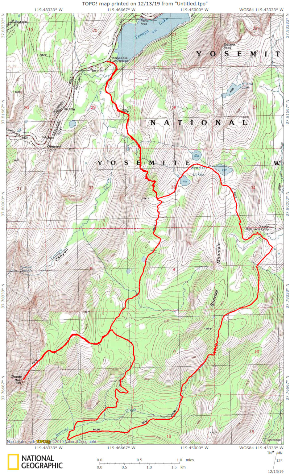
Clouds Rest Loop map
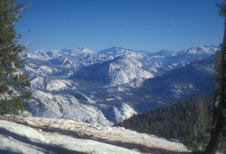
Tenaya Lake from Clouds Rest trail - Yosemite National Park - Sep 1975
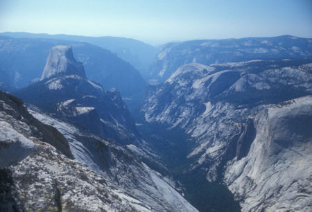
Half Dome, Yosemite Valley from Clouds Rest - Yosemite National Park - Sep 1975
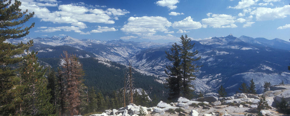
Cathedral Range, Merced Canyon, Mount Clark from Clouds Rest trail - Yosemite National Park - Sep 1975
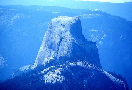
Half Dome from Clouds Rest - Yosemite National Park - Sep 1975
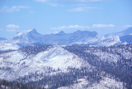
Cathedral Range from Clouds Rest - Yosemite National Park - Sep 1975

Tuolumne Peak, Tenaya Lake, Cathedral Range, Sunrise Ridge from Clouds Rest - Yosemite National Park - Sep 1975

Merced Canyon, Mount Clark and Clark Range from Clouds Rest - Yosemite National Park - Sep 1975
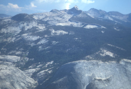
Mount Clark from Clouds Rest - Yosemite National Park - Sep 1975
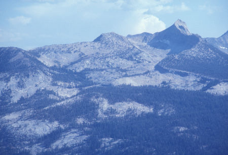
Mount Clark from Clouds Rest - Yosemite National Park - Sep 1975

Mount Starr King (left center) and Ridge, Southern Yosemite National Park, Half Dome, Yosemite Valley from Clouds Rest - Sep 1975
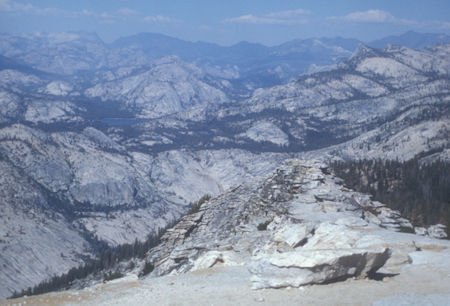
Tenaya Lake and Ridge from Clouds Rest - Yosemite National Park - Sep 1975
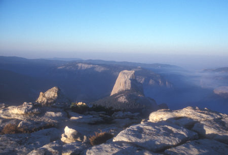
Morning light on Half Dome from Clouds Rest - Yosemite National Park - Sep 1975
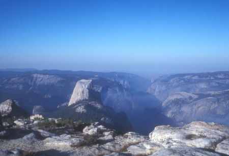
Morning light on Half Dome and Yosemite Valley from Clouds Rest
Yosemite National Park - Sep 1975
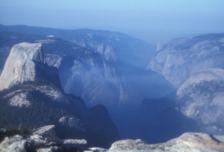
Morning light on Half Dome and Yosemite Valley from Clouds Rest
Yosemite National Park - Sep 1975
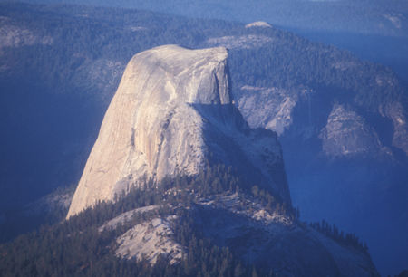
Morning light on Half Dome from Clouds Rest - Yosemite National Park - Sep 1975
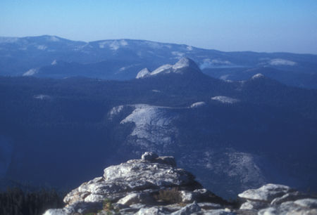
Morning light on Mount Starr King from Clouds Rest - Yosemite National Park - Sep 1975
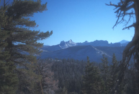
Cathedral Range from Sunrise Trail - Yosemite National Park - Sep 1975
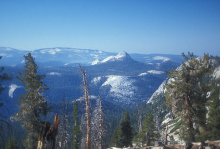
Mount Starr King from Sunrise Trail - Yosemite National Park - Sep 1975
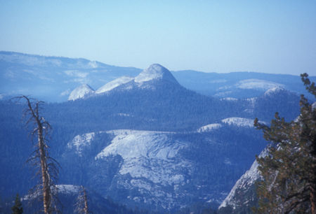
Mount Starr King from Sunrise Trail - Yosemite National Park - Sep 1975
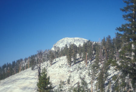
Clouds Rest from Sunrise Trail - Yosemite National Park - Sep 1975
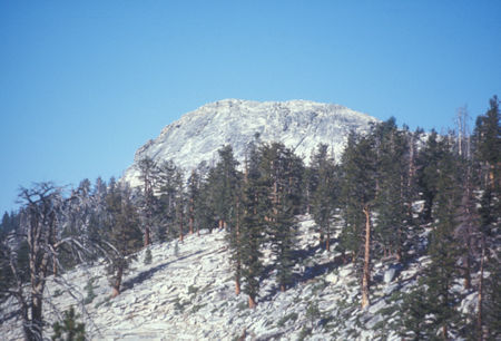
Clouds Rest from Sunrise Trail - Yosemite National Park - Sep 1975
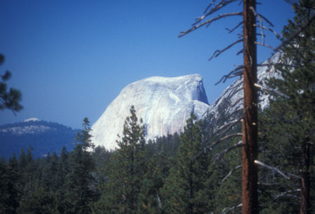
Sentinel Dome (left distance), Half Dome from Sunrise Trail
Yosemite National Park - Sep 1975
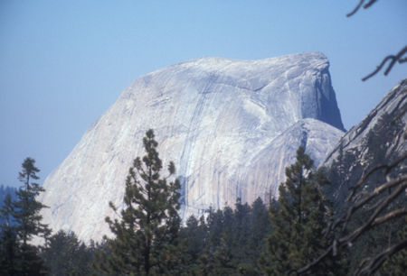
Half Dome from Sunrise Trail - Yosemite National Park - Sep 1975
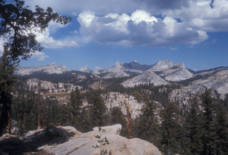
Long Meadow, Cathedral Range from Sunrise Trail - Yosemite National Park - Sep 1975
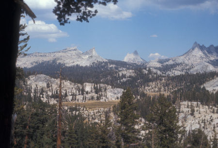
Long Meadow, Cathedral Range from Sunrise Trail - Yosemite National Park - Sep 1975
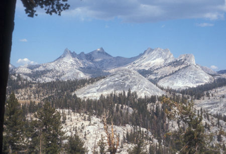
Long Meadow, Cathedral Range from Sunrise Trail - Yosemite National Park - Sep 1975
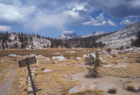
Long Meadow - Yosemite National Park - Sep 1975
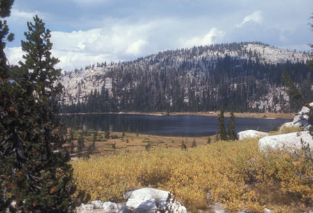
Upper Sunrise Lake - Yosemite National Park - Sep 1975
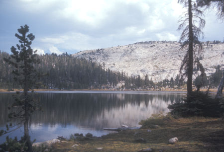
Upper Sunrise Lake - Yosemite National Park - Sep 1975
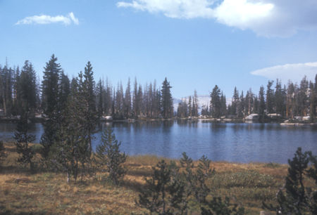
Middle Sunrise Lake - Yosemite National Park - Sep 1975
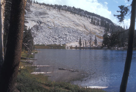
Lower Sunrise Lake - Yosemite National Park - Sep 1975
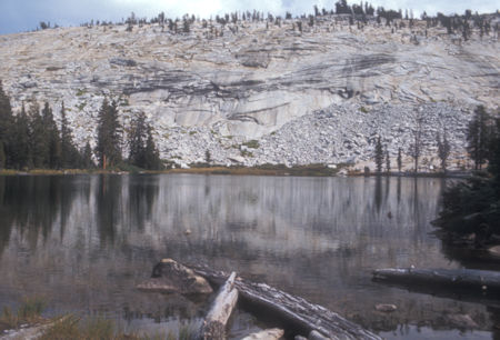
Lower Sunrise Lake - Yosemite National Park - Sep 1975