On August 16, 1986 I did a day hike from the Yosemite National Park Tioga Pass entrance station to the High Sierra Mine site and Gaylor Lakes.
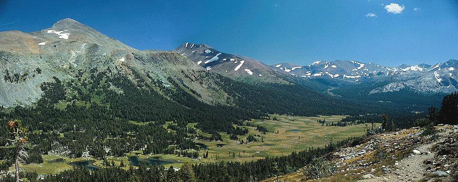
Mt. Dana, Mt. Gibbs, Parker Canyon, Tioga Pass - Yosemite National Park 1986
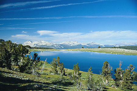
Middle Gaylor Lake, Cathedral Range - Yosemite National Park 1986
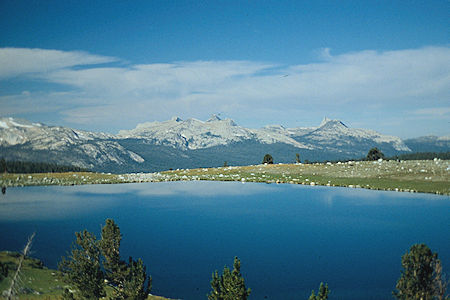
Middle Gaylor Lake, Cathedral Range - Yosemite National Park 1986
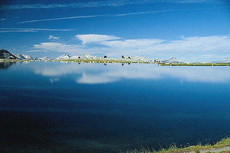
Middle Gaylor Lake, Cathedral Range - Yosemite National Park 1986
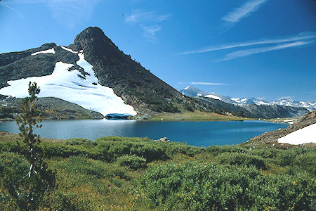
Gaylor Lake - Yosemite National Park 1986
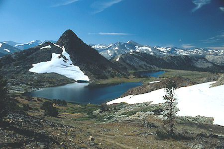
Upper and Middle Gaylor Lakes - Yosemite National Park 1986
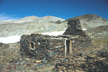
Cabin at Great Sierra Mine - Yosemite National Park 1986
Mining activity on the crest and eastern slope of the central Sierra Nevada is closely interwoven with events leading to the formation of Yosemite National Park. The Great Sierra Mine was the site of the most intensive, albeit unprofitable, silver mining effort within the present park boundary. The surviving cabin is architecturally significant; its type of masonry construction is rare and exhibits a high level of handcraftsmanship.
The Great Sierra Mine Historic Site preserves the site of the largest mining operation in what would become Yosemite National Park. The mine was located on Tioga Hill on the crest and eastern slope of the Sierra Nevada, one of several claims intended to work the Sheepherder silver lode.
The Sheepherder lode was discovered in 1860, and rediscovered by shepherd Thomas Brusky, Jr., who staked a number of claims in the area. In 1881 the Great Sierra Consolidated Silver Mining Company purchased all claims in the immediate vicinity of Tioga Hill. The company established the mountaintop community of Dana, including a post office branch, that same year, intending to work the mining operation year-round. Living conditions at and altitude of 11,000 feet were difficult and the miners soon relocated at Bennettville near the northern base of Tioga Hill.
Driving a tunnel into extremely hard rock required special drilling machinery. It took more than two months to haul eight tons of equipment the nine miles from the foot of Bloody Canyon to the Great Sierra Mine tunnel. The equipment was transported on six heavy sleds by ten to twelve men and two mules. One section required an almost vertical climb of 2,160 feet.
In 1884 the tunnel had been driven 1,784 feet and more than $300,000 expended when the Great Sierra Consolidated Silver Mining Company collapsed and closed down operations.
The claim changed hands several times and in 1933 work was resumed with modern equipment. The tunnel was driven several hundred feet further without striking the Sheepherder Lode and the second ill-fated operation ended. Today the National Park Service controls access to the mine tunnel.
The mining activity on Tioga Hill attracted hundreds of men and women to Yosemite's high Sierra region. Conservationists, already lobbying to establish a federal reserve that would abolish grazing in Tuolumne Meadows and the indiscriminate cutting of trees in the sugar pine tracts, agitated anew over the potential destruction of spectacular scenery caused by mining.
Mining activity on the crest and eastern slope of the central Sierra Nevada is closely interwoven with events leading to the formation of Yosemite National Park. The Great Sierra Mine was the site of the most intensive, albeit unprofitable, silver mining effort within the present park boundary. The surviving cabin is architecturally significant; its type of masonry construction is rare and exhibits a high level of handcraftsmanship.
In 1881 the Great Sierra Consolidated Silver Mining Company purchased all claims in the immediate vicinity of Tioga Hill. The company established the mountaintop community of Dana, including a post office branch, that same year, intending to work the mining operation year-round. Living conditions at and altitude of 11,000 feet were difficult and the miners soon relocated at Bennettville near the northern base of Tioga Hill.
Driving a tunnel into extremely hard rock required special drilling machinery. It took more than two months to haul eight tons of equipment the nine miles from the foot of Bloody Canyon to the Great Sierra Mine tunnel. The equipment was transported on six heavy sleds by ten to twelve men and two mules. One section required an almost vertical climb of 2,160 feet.
In 1884 the tunnel had been driven 1,784 feet and more than $300,000 expended when the Great Sierra Consolidated Silver Mining Company collapsed and closed down operations.
The claim changed hands several times and in 1933 work was resumed with modern equipment. The tunnel was driven several hundred feet further without striking the Sheepherder Lode and the second ill-fated operation ended. Today the National Park Service controls access to the mine tunnel.
The mining activity on Tioga Hill attracted hundreds of men and women to Yosemite's high Sierra region. Conservationists, already lobbying to establish a federal reserve that would abolish grazing in Tuolumne Meadows and the indiscriminate cutting of trees in the sugar pine tracts, agitated anew over the potential destruction of spectacular scenery caused by mining.
It is difficult to assess whether Tioga Hill and its environs would have been included in the boundaries delineating Yosemite National Park in 1890 if the Sheepherder Lode had proven to contain factual, instead of legendary, wealth.
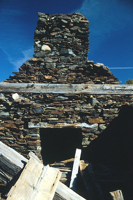
Cabin at Great Sierra Mine - Yosemite National Park 1986
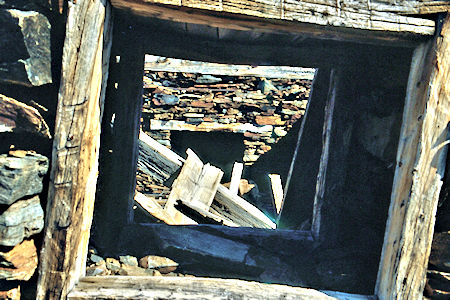
Window in Cabin at Great Sierra Mine - Yosemite National Park 1986
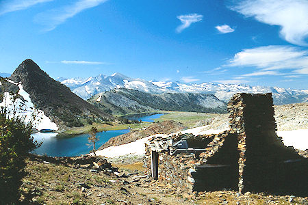
Gaylor Lakes and Cabin at Great Sierra Mine - Yosemite National Park 1986
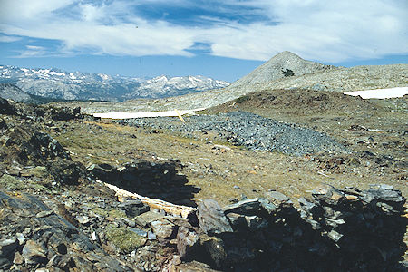
Great Sierra Mine - Yosemite National Park 1986
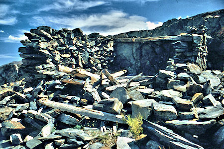
Great Sierra Mine - Yosemite National Park 1986
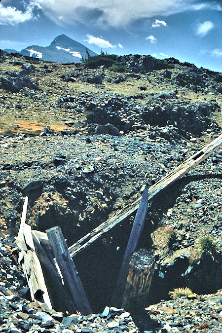
Great Sierra Mine - Yosemite National Park 1986
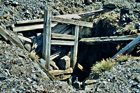
Great Sierra Mine - Yosemite National Park 1986
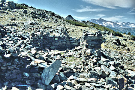
Great Sierra Mine - Yosemite National Park 1986
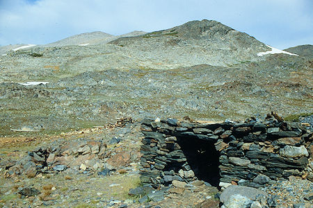
Great Sierra Mine - Yosemite National Park 1986
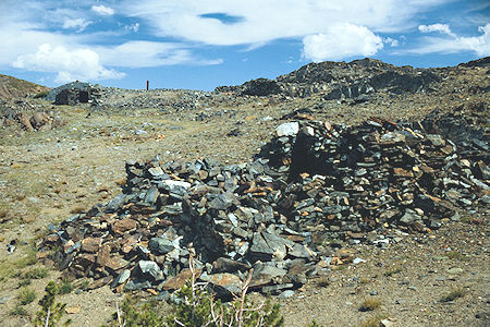
Great Sierra Mine - Yosemite National Park 1986
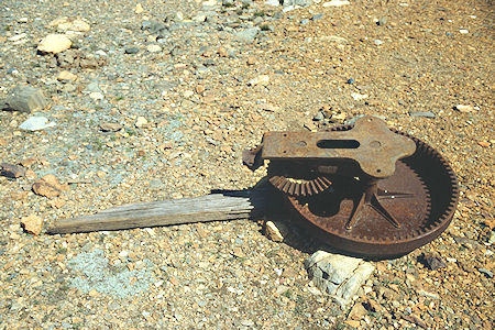
Great Sierra Mine - Yosemite National Park 1986
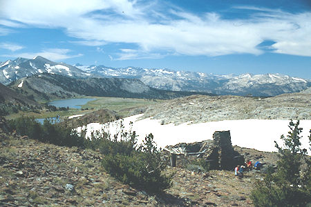
Great Sierra Mine - Yosemite National Park 1986
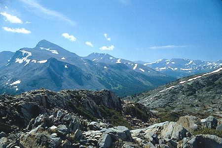
Mt. Dana and Mt. Gibbs from Great Sierra Mine - Yosemite National Park 1986
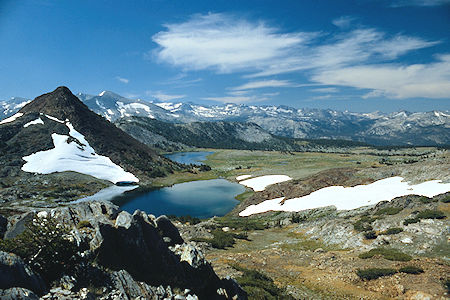
Gaylor Peak and lakes from Great Sierra Mine - Yosemite National Park 1986
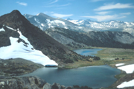
Gaylor Peak and lakes from Great Sierra Mine - Yosemite National Park 1986
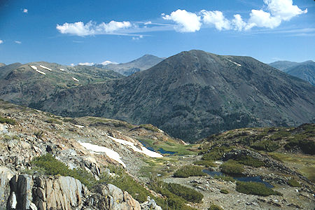
Warren Peak and canyon from Great Sierra Mine - Yosemite National Park 1986
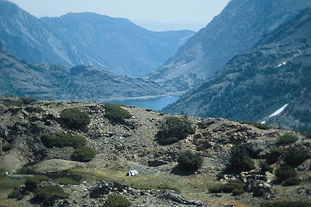
Tioga Lake from Great Sierra Mine - Yosemite National Park 1986
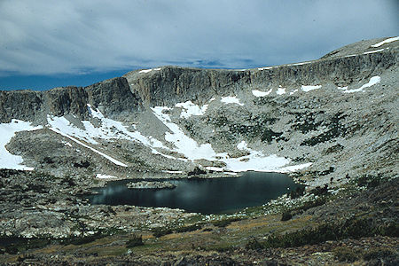
Upper Granite Lake - Yosemite National Park 1986
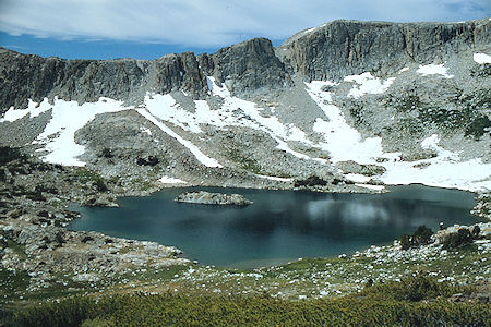
Upper Granite Lake - Yosemite National Park 1986
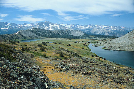
Middle Gaylor Lake, Lower Granite Lake - Yosemite National Park 1986
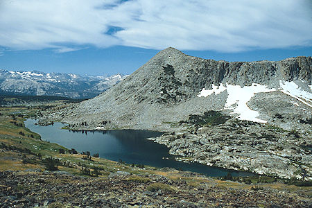
Lower Granite Lake - Yosemite National Park 1986
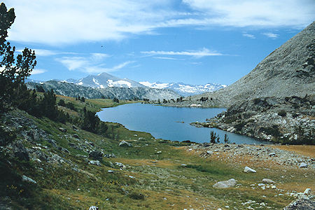
Lower Granite Lake - Yosemite National Park 1986
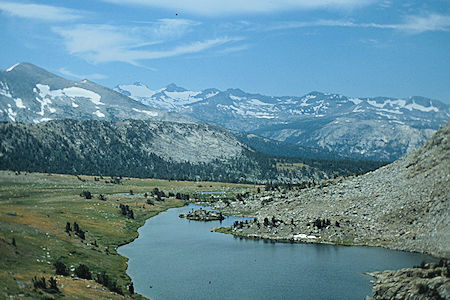
Lower Granite Lake - Yosemite National Park 1986
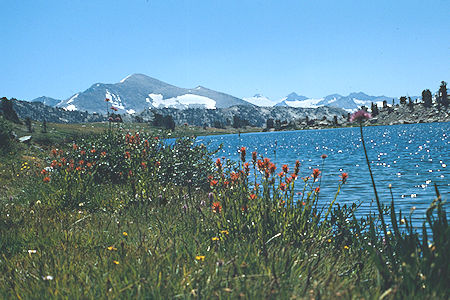
Flowers at Lower Granite Lake - Yosemite National Park 1986
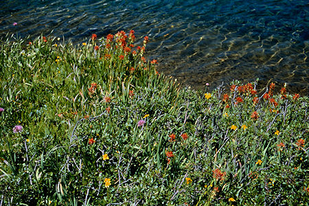
Flowers at Lower Granite Lake - Yosemite National Park 1986
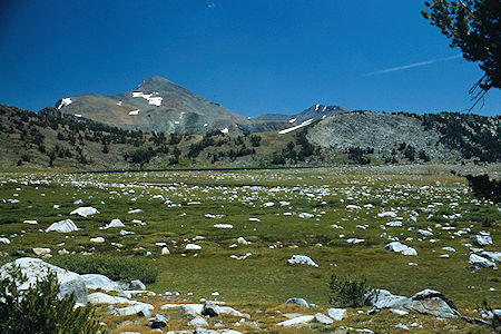
Mt. Dana, Middle Gaylor Lake - Yosemite National Park 1986
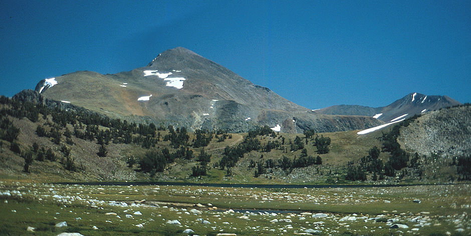
Mt. Dana, Middle Gaylor Lake - Yosemite National Park 1986
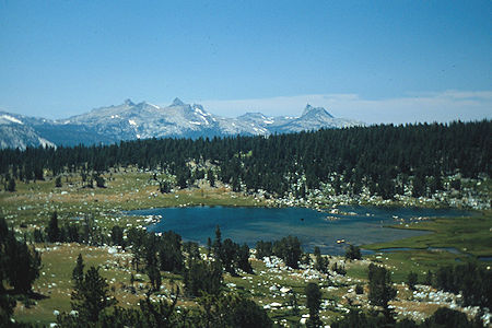
Lower Gaylor Lake, Cathedral Range - Yosemite National Park 1986
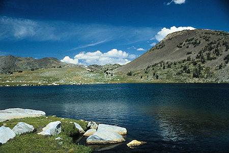
Middle Gaylor Lake looking toward Great Sierra Mine - Yosemite National Park 1986
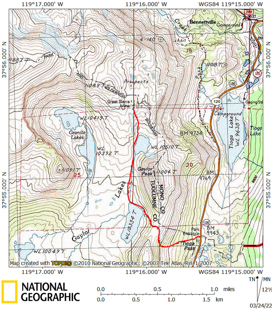
Gaylor Lakes Great Sierra Mine route map 1986