On July 21-22, 1962 I climbed 12,405' Mount Huntington on a fourteen mile round trip hike with Bill Thomas, Stretch Kimbel, Henry Mandolf and Meldon Merrill of the San Diego Sierra Club.
Mount Huntington is a mountain in the John Muir Wilderness north of Kings Canyon National Park. It is one of four peaks that surround Pioneer Basin, 5 miles (8.0 km) northwest of Mount Crocker, 2 miles (3.2 km) northeast of Mount Hopkins, and 1.8 miles (2.9 km) south-southwest of Mount Stanford.[2] The mountain was named for Collis Potter Huntington, one of the builders of the Central Pacific Railroad.
This peak has routes ranging from class 2 to class 3 on the majority of routes. First ascent was on July 14, 1934 by David Brower, Norman Clyde, and Hervey Voge.
We hiked from Lower Rock Creek Corral to Hilton Lakes and to the North Face of Mount Huntington. Bill Thomas, Stretch Kimbel and I climbed via a snow bowl to the top. Henry Mandolf and Meldon Merrill made top by another route. Both routes were new -Henry arrived 4 p.m. - we at 5 p.m. after waiting out a thunderstorm. We were back to cars between 8:30 and 9 p.m. Home on Sunday after sleeping in.
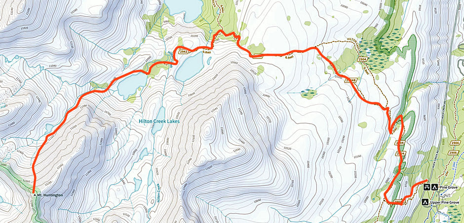
Mount Huntington Route Map 1962
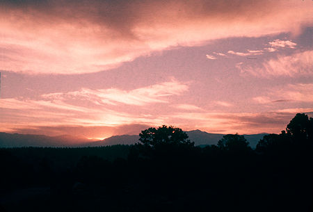
Sunrise from Rock Creek campground on 7-21-1962 Sierra Club trip

Approaching Hilton Lakes basin looking west on 7-21-1962
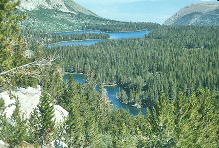
Davis (1st) Lake and 2nd Lake from 3rd Lake outlet
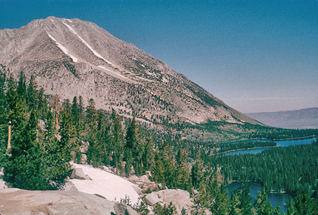
Unnamed peak above Hilton Lakes and Davis Lake - view east
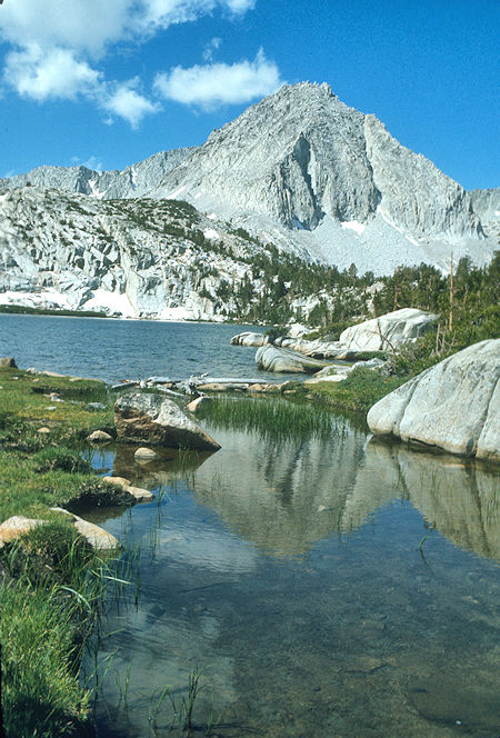
3rd Lake - Hilton Lakes
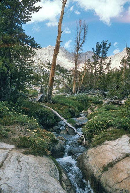
Hilton Creek above 4th Hilton Lake
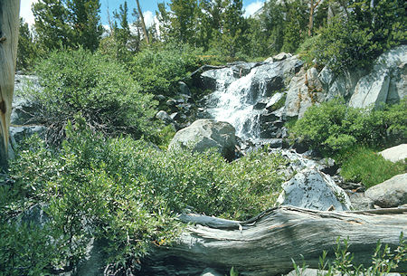
Cascades on the way up Mt. Huntingon
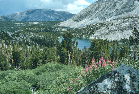
4th Hilton Lake from route up Mt. Huntington

Valley above Hilton Lake #4 on way to Mt. Huntington
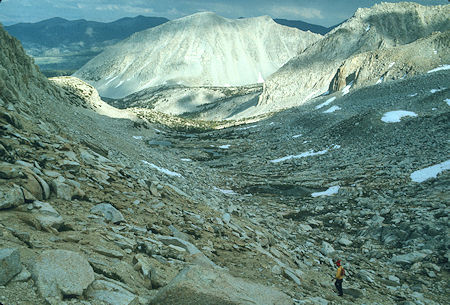
The route to Mt. Huntington above 4th Hilton Lake
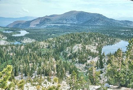
1st (Davis), 2nd and 3rd Hilton Lakes
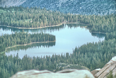
Davis Lake from 5th Hilton Lake
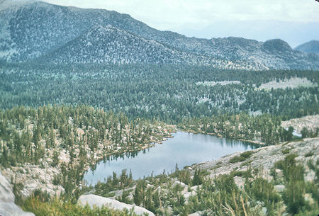
Third Hilton Lake from Fifth Hilton Lake
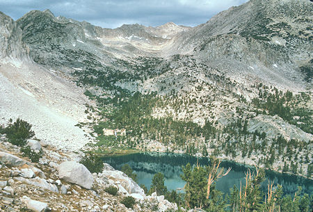
Fourth Hilton Lake and route to Mt. Huntington
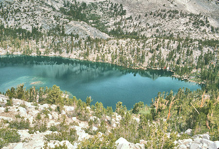
Fourth Hilton Lake
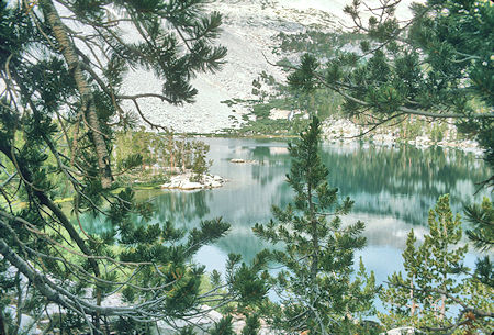
Fourth Hilton Lake
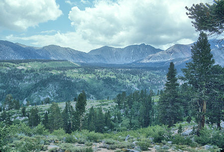
Wheeler Crest area - Rock Creek
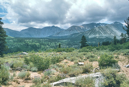
Wheeler Crest area - Mt. Morgan on far right - Rock Creek
