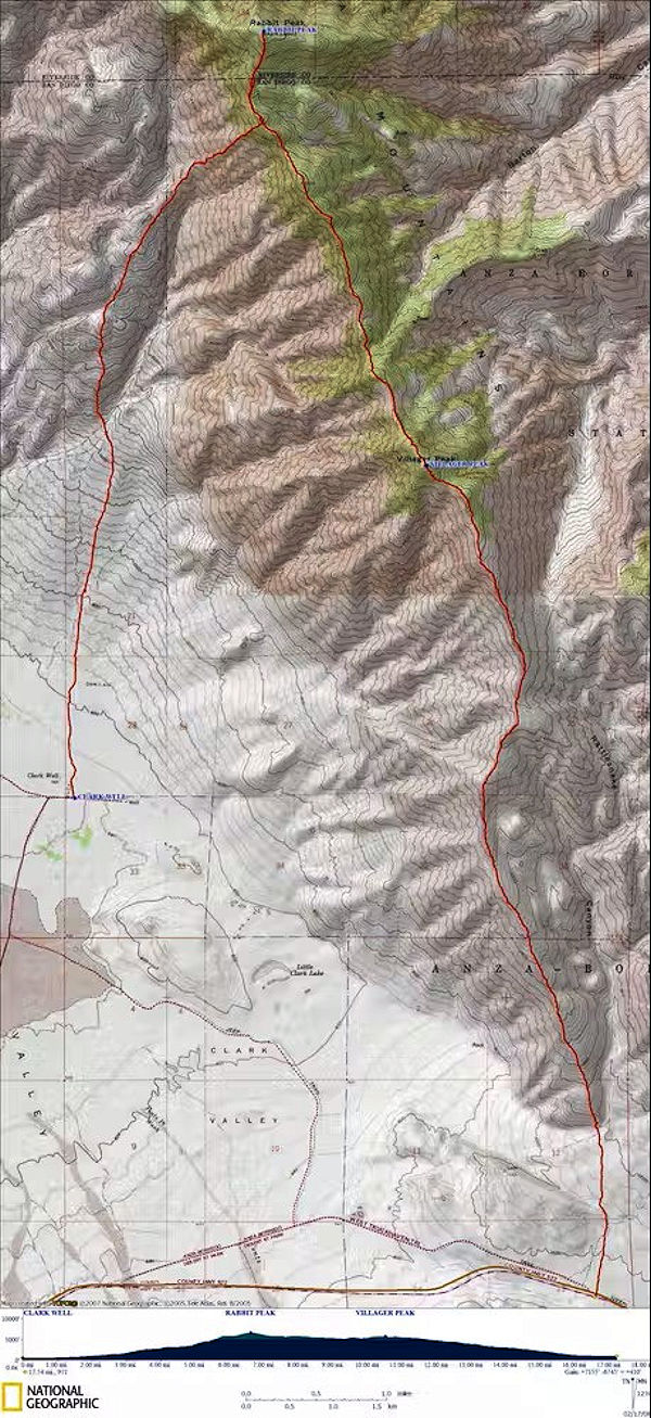
Rabbit Peak Topo Map with trails
Rabbit Peak lies along the southeast end of the remote Santa Rosa Range of Riverside county in Southern California. The summit features views along the Santa Rosa Range to the northwest, to the Anza-Borrego Desert State Park to the south, and the Coachella Valley and Salton Sea to the east. There is no higher peak further south in California, so the views in that direction can span to the Mexican border (and into Arizona as well) on a clear day.
I made three attemps to climb this 6,623' peak.
On April 7-8, 1962 I made a six mile round trip scouting trip. I didn't get near the peak - warm to hot - good sunning.
On February 8-9, 1964 I set out with Explorer Post 360 on a twelve mile round trip. We did not make the peak because of a chasm along route. We tried new route and got to 4700' from 688' but the chasm didn't show on the map - and we were worn out.
On November 30-December 1, 1968 Explorer Post 360 made the peak. I got sick and didn't make camp. Hiked 8 miles.
