On September 28, 1968 myself, Steve Henderson, Bob Johnson, Tim McSweeney day hiked to the top of 14,252' White Mountain Peak on a trip from San Diego. We also climbed Telescope Peak the next day.
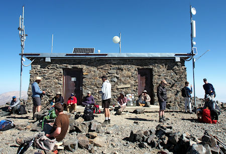
Hikers resting at the summit hut on the 2018 open gate day
It is the fourteenth most topographically prominent peak in the contiguous United States. White Mountain Peak is one of only two fourteeners (peaks above 14,000 feet) in California that are not in the Sierra Nevada, the other being Mount Shasta at the far northern end of the state in the Cascade Range. It is the only fourteener in the contiguous United States that is not in the Rocky Mountains, the Cascade Range, or the Sierra Nevada.
The University of California operates the White Mountain Research Center, comprising three high altitude research stations, on the mountain: Crooked Creek Station at 10,200 feet, Barcroft Station at 12,470 feet, and a small hut at the summit. The effects of altitude on physiology are studied at the Barcroft Station and summit hut.
There is a winding dirt road leading to the summit station that is usually cleared of snow between late June and November. Access is restricted to hikers only by a locked gate about 2 miles before Barcroft station, but White Mountain Research Station usually opens this locked gate at 11,680 feet once each year. Open gate days are typically on a Sunday in the summer.
The round-trip hike from the gate to the summit is about 14 miles with less than 2,600 feet of vertical gain. However, there are two different dips in the trail of about 250 feet each, adding up to a total elevation gain during the roundtrip of over 3500 feet. The open gate shaves about 4 miles and 790 feet of gain off the round trip. This route is popular with mountain bikers.
The summit and the weather station at 12,470 feet has an alpine tundra climate (Köppen climate classification: ET). Winters are extremely severe, with the peak receiving upwards of 13 feet) of snow annually.
We drove to Lone Pine Friday night. Saturday we got up at 7 a.m. and ate breakfast then drove to the gate 7 miles from the peak (2 miles from Barcroft Lab) arriving at 10 a.m. Left for the peak at 10:30 a.m.
Cold and windy. Altitude etc. got to us all. Made the Peak at 3:15 p.m. Got a ride with caretaker (what a road) back to Barcroft. Hiked two miles back to the car. Left the roadhead about 5:30 p.m. and drove to Big Pine for Supper, then to Mahogany Flat to climb Telescope Peak the next day.
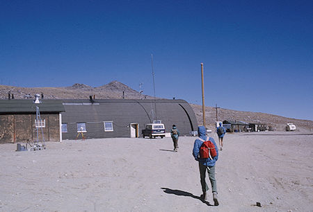
Barcroft Lab on White Mountain Peak - White Mountains - Sep 1968
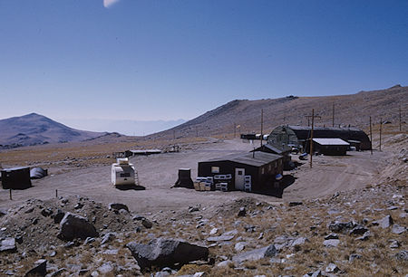
Looking back at Barcroft Lab on White Mountain Peak - White Mountains - Sep 1968
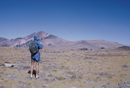
White Mountain Peak from near Barcroft Lab
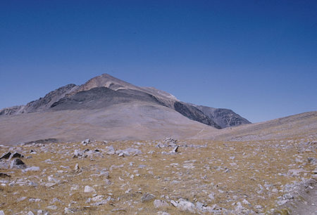
White Mountain Peak - White Mountains - Sep 1968
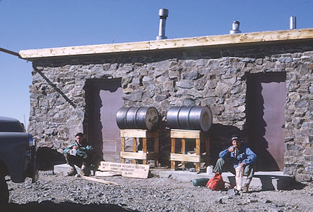
Lunch at the hut on the summit of White Mountain Peak - White Mountains - Sep 1968
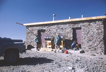
Hut on the summit of White Mountain Peak - White Mountains - Sep 1968
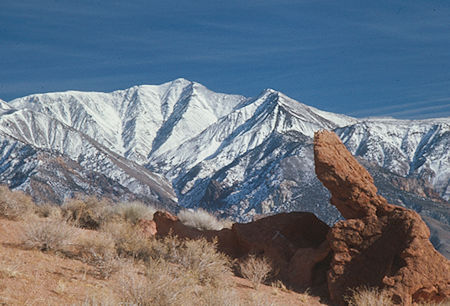
White Mountain Peak from Red Rock Canyon, Mono County - Jan 1975
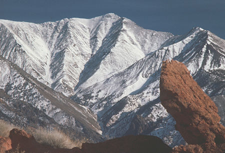
White Mountain Peak from Red Rock Canyon, Mono County - Jan 1975
On July 18, 1965 myself, Ann Culver, Bob Johnson, Gil Beilke, Robin Young, George... and Ed... climbed 12,497' Sheep Mountain on a four mile round trip day hike from camp at Patriarch Grove Picnic area on the White Mountain road. Good views of White Mountain Peak and the Sierra except for excessive clouds.
A Sierra Club backpack into the Sierra Nevada had gotten rained out so we drove to the Patriarch Grove Picnic area on the White Mountain road to camp. My car pooped out at 11,000 feet for lack of air. With the passengers out and pushing we got up the hill to our destination. It rained and hailed.
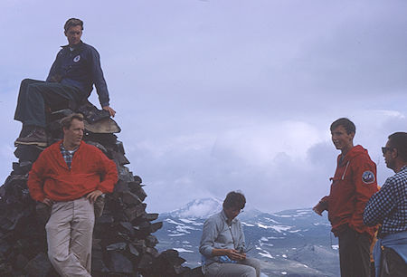
White Mountain Peak in back from top of Sheep Mountain - White Mountains - Jul 1965
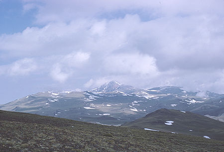
White Mountain Peak from top of Sheep Mountain - White Mountains - Jul 1965
The Patriarch Grove is home to the world's largest Bristlecone Pine, the Patriarch Tree. Its splendid remoteness and moonscape appearance gives the Patriarch Grove a surreal atmosphere.
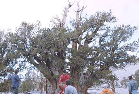
Patriarch Tree - White Mountains - Jul 1965
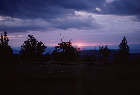
Sunrise at Patriarch Grove - White Mountains - Jul 1965
On March 21, 1981 myself and Jim White ski toured 4 miles round trip on the road. We drove to the locked gate at Vista Point and ski toured up the road to the cabin at the Bristlecone Pine area. My first time on skis in two years and Jims first time on his new skis. Had lunch at the cabin and were back to the car in about 20 minutes. Good area for cross-country touring.
On March 12, 1983 myself and Jim White ski toured 10 miles round trip on the road. We drove up to Westgard Pass and onto the Bristlecone Pine road. The snow was deep enough we had to park just a short way off the main road before getting to the summer entrance station. We skied up the road about five miles. It was pretty good skiing most of the time. Another party of two passed us and later returned ahead of us. We had a great time. The last mile was a bit sloppy on the way down but all in all it was a great day.