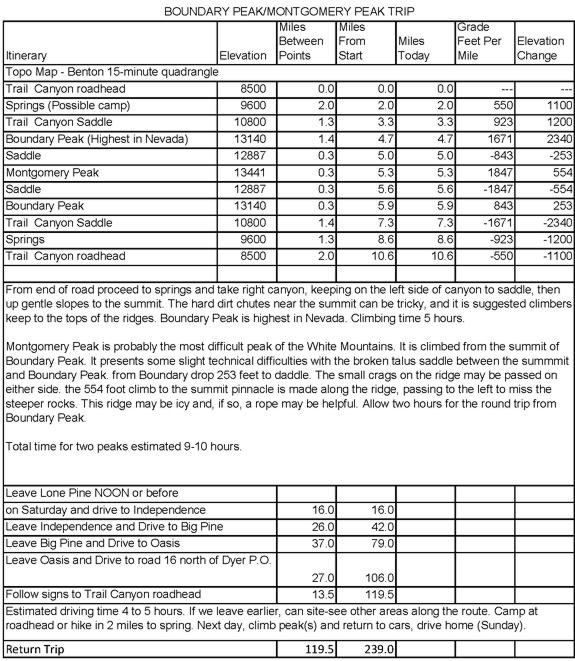
On the weekend of August 6-7, 1977, Don Deck, Gil Beilke, Uel Fisk, Stan Haye, Al Nikolaus and Bill Caipen climbed Boundary Peak 13,140', highest peak in Nevada. It is now located in the Boundary Peak Wilderness.
We left Lone Pine around 8 a.m. and picked up Stan, Al and Bill in Independence, then on to Big Pine where we left Gil's car (Gil & Uel were going on another trip after this one). We drove across Westgard Pass and on to Dyer, Nevada, then 16 miles to the Trail Canyon turnoff.
By not paying attention to my route information we made a wrong turn and ended up driving up Middle Creek canyon to the end of the road. We ate lunch by a nice stream, then backtracked and found the right road. This was a good road to its end at a small meadow.
We hiked about two miles up the canyon to camp at the springs around 9600' where the water starts. Cattle grazing in the area fouled the water but we were able to find a seep which we dug out and got good water. The campsite was open grass but nice.
Sunday morning we got up around 6 a.m. and after breakfast and packing headed for the peak about 7:20 a.m. We headed for Trail Canyon saddle, then up the ridge to Boundary Peak. (It is possible, but looser footing, to climb more directly up the left canyon).
On the way to the saddle we saw seven wild horses on the ridge and two more later, plus 5 deer. The route was steep in places but technically easy. At a false peak on the ridge at 12,000' Stan decided to stop. Bill Caipen and I made Boundary Peak about 11:15. The others had made it earlier and Gil and Al went on to Montgomery Peak while Uel stayed at Boundary.
Bill and I decided to forgo Montgomery although we probably should have done it. Gil and Al took a hour to go over, spent an hour on top, and took 45 minutes to return. We all headed down about 2:15 or so. We took the direct route down chutes to camp.
The views were okay but not great. It was smoky from many fires in California but even without the smoke the views would not have been tremendous. From camp it was a quick hike back to the car and we were on our way home around 5 p.m. I think. I was home about 8 p.m. after dropping everyone off. It was a good trip.
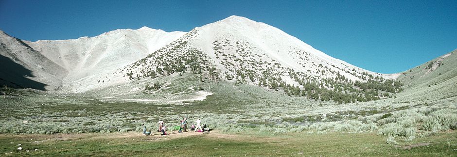
Boundary Peak to left, Trail Canyon Saddle to right - from camp
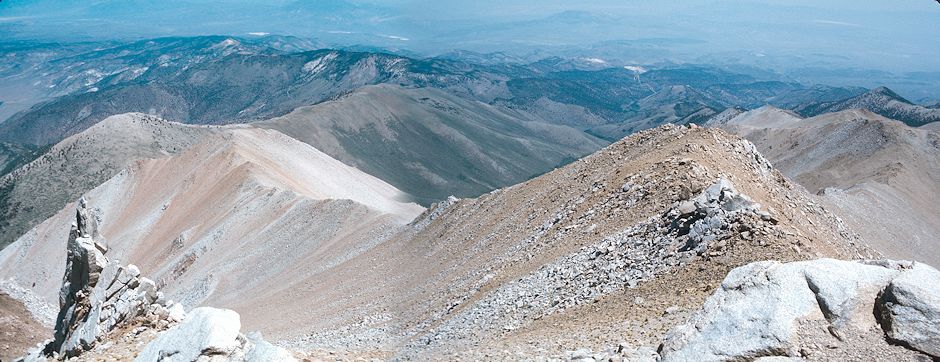
The ridge from Trail Canyon Saddle to Boundary Peak
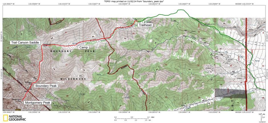
For more information and pictures check these links:
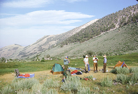
Boundary Peak campsite in Trail Canyon
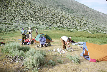
Boundary Peak campsite in Trail Canyon
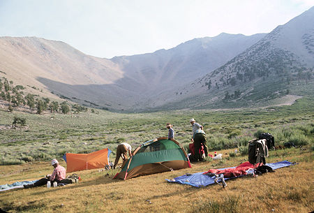
Boundary Peak campsite in Trail Canyon
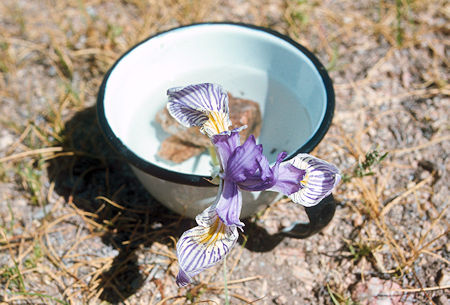
Flower at Boundary Peak campsite
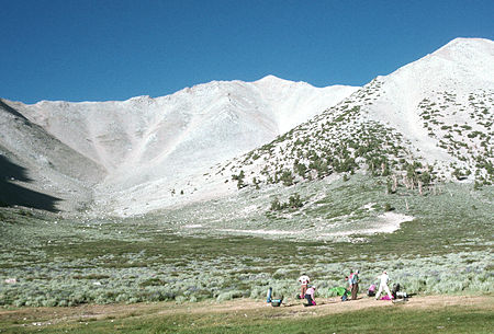
Boundary Peak from campsite
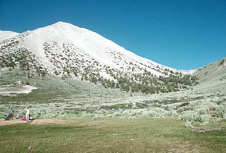
Trail Canyon Saddle on the right
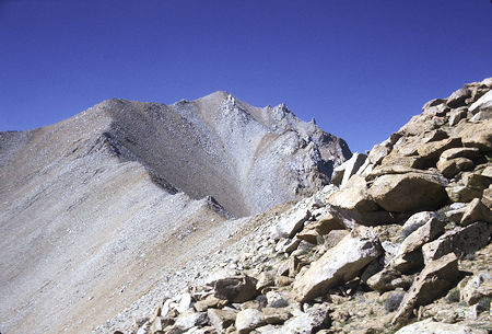
Boundary Peak and the ridge route
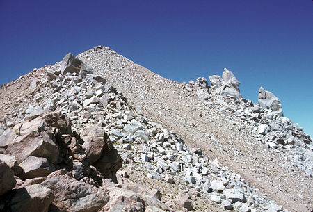
Boundary Peak
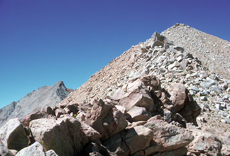
Montgomery Peak in back on the left, Boundary Peak on the right
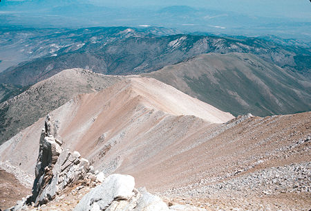
Looking down the ridge toward Trail Canyon Saddle from Boundary Peak
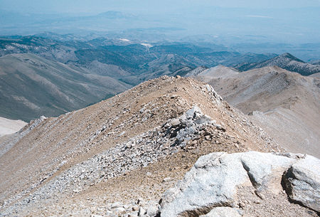
Upper ridge from Boundary Peak
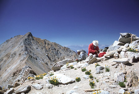
Montgomery Peak from Boundary Peak
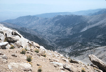
Middle Creek from Boundary Peak
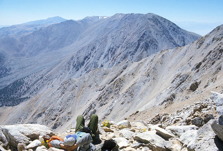
White Mountain in distance on the left, Mt. Dubois from Boundary Peak
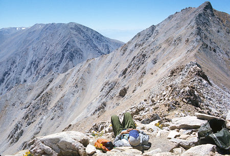
Montgomery Peak from Boundary Peak
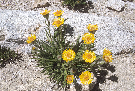
Flower on Boundary Peak