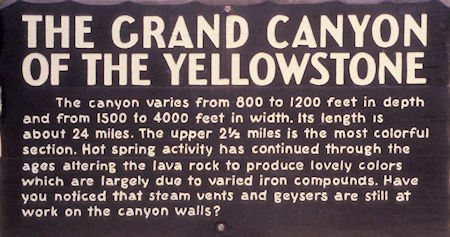
Grand Canyon of the Yellowstone sign
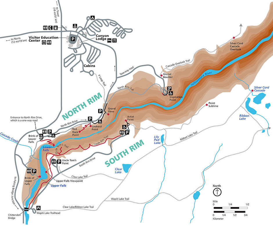
On August 10 and 11, 1997 I drove to Canyon Junction and near Canyon I took the loop road along the Grand Canyon of the Yellowstone stopping at all the viewpoints to take pictures.
The first stop on August 10 was Inspiration Point with views of the Grand Canyon of the Yellowstone River.
Starting with the Upper Falls of Yellowstone Falls, The Grand Canyon of the Yellowstone River runs northeast for over 20 miles, carving a 1,000-foot deep gash in the pine-covered landscape. The north and south rims are separated by a mere 3/4 of a mile, with treacherously steep canyon walls painted in oranges, yellows and reds.
While you can only see a sliver of Yellowstone Falls from Inspiration Point, there is plenty to get inspired about. The point, which was originally named Promontory Point in 1878, juts out from the rest of the canyon wall to offer panoramic views up and down the canyon.
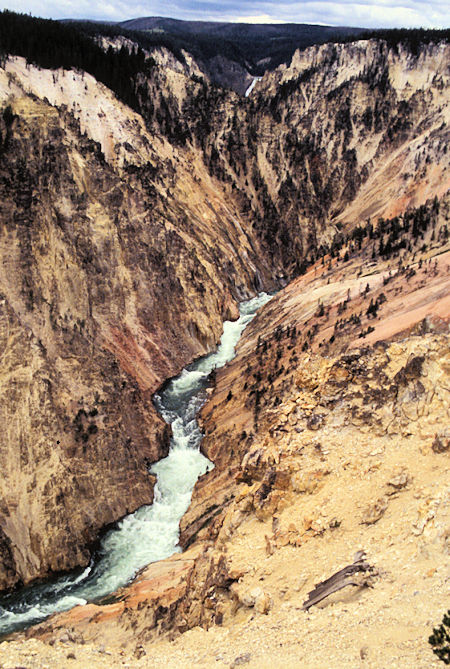
Grand Canyon of Yellowstone from Inspiration Point
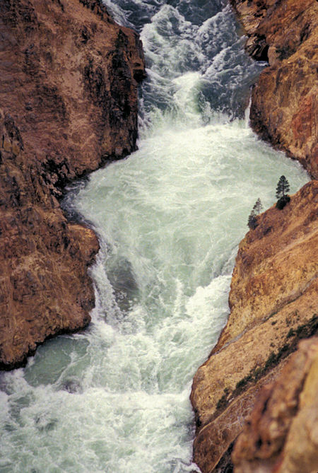
Grand Canyon of Yellowstone from Inspiration Point
Next is Grandview Point, which offers views north over the Grand Canyon of the Yellowstone's colorful smoking walls
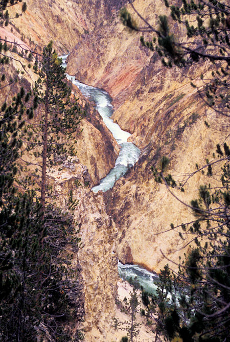
Grand Canyon of the Yellowstone from Grandview Point
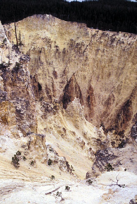
View of canyon walls from Grandview Point
Lookout Point offers the best views of the 308-foot Lower Falls. It was around here that iconic early painter Thomas Moran made the sketches for his famous painting of the canyon, allegedly weeping over the lack of colors in his palette.
Lower Falls is the largest volume waterfall in the Rocky Mountains. Watching the water Cascade over the ledge is a unique experience. The sound of the falls is equally as impressive and can be heard from miles away in the canyon area. Upper Falls dumps into a shallow pool that projects water back into the air at an impressive height upon impact.
The volume of water flowing over the falls can vary from 63,500 gallons/second at peak runoff in the spring to 5,000 gallons)/second in the autumn.
Further east down the North Rim Trail is Lower Lookout Point. Lower Lookout Point offers magnificent views of the canyon and the falls. Birds of prey can often be observed in their nests, which are perched on top of eroded spires within the canyon walls. While the falls are the main attraction, there are many impressive views all around you.
The Grand Canyon of the Yellowstone is an impressive geological site. The various colors that grace the canyon walls are the result of hydrothermal alterations created when the canyon was part of an active geyser basin. Today the iron-rich compounds in the rocks are oxidizing, which creates the incredible color palate that the Grand Canyon of the Yellowstone is so famous for.
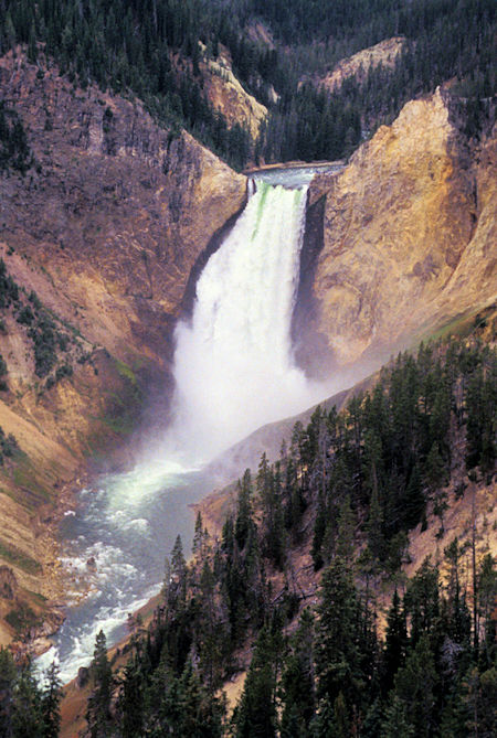
Lower Yellowstone Falls from Upper Lookout Point
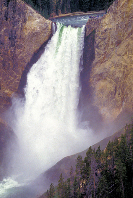
Lower Yellowstone Falls from Upper Lookout Point
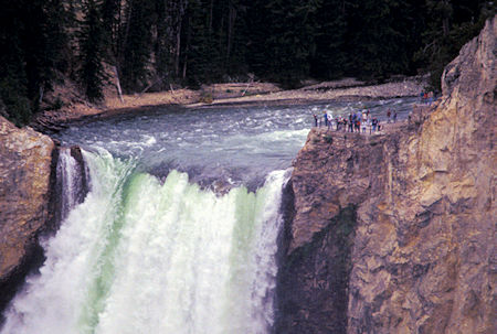
Lower Yellowstone Falls from Upper Lookout Point
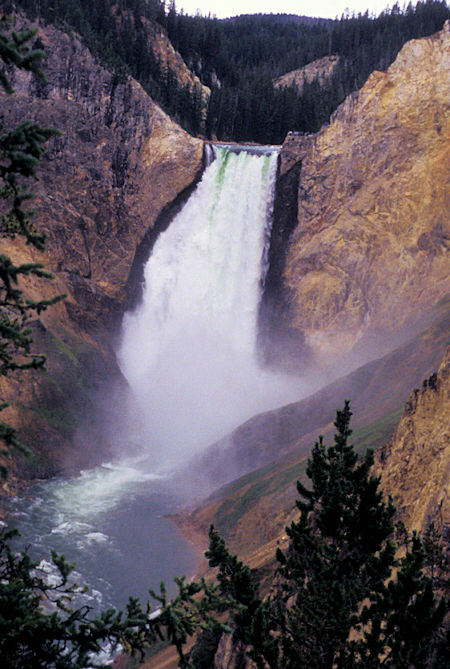
Lower Yellowstone Falls from Lower Lookout Point
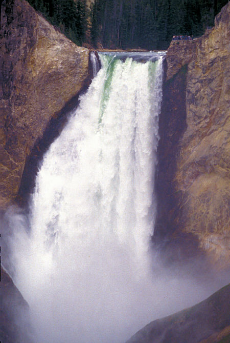
Lower Yellowstone Falls from Lower Lookout Point
On August 11 I hiked to the top of the upper falls, then continued to Artists Drive on the other side of the river.
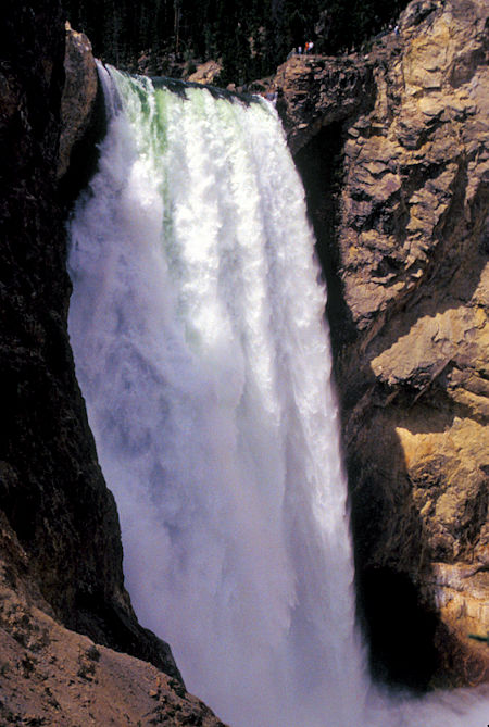
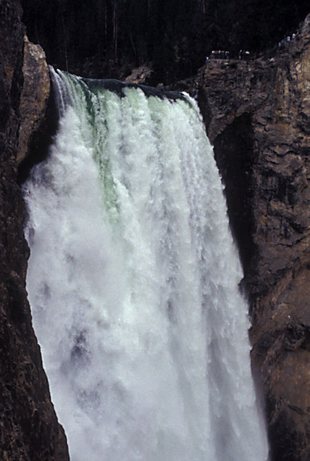
The Brink of Lower Falls Trail switchbacks steeply down a mostly forested section of the Grand Canyon to an observation platform perched at the top of the Lower Falls of the Yellowstone. Here the mighty river thunderously plunges 308 feet into the heart of the canyon.
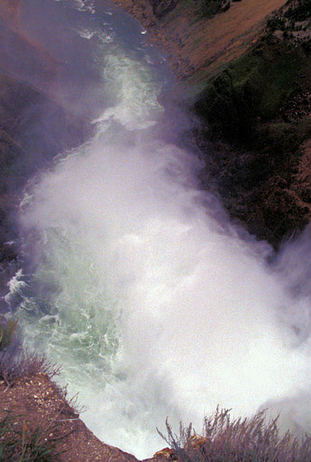
View down Lower Yellowstone Falls from the top
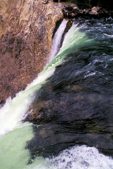
Top of Lower Yellowstone Falls
I then headed to the South Rim and stopped first at a view point for the upper falls and then hiked down Uncle Toms Trail almost to the canyon bottom for great views of the upper falls including a rainbow. Much of this "trail" is steel steps - 328 of them - easy going down but work going up at 8000 foot elevation. Worth the effort though.
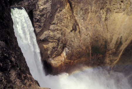
Upper Yellowstone Falls from Uncle Toms Trail
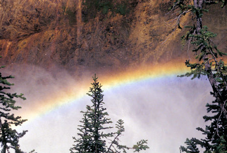
Rainbow below Upper Yellowstone Falls from Uncle Toms Trail
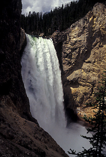
Upper Yellowstone Falls from Uncle Toms Trail
Upper Yellowstone Falls from Uncle Toms Trail
Upper Yellowstone Falls from Uncle Toms Trail
Continued to Artist Point which is one of the marquee overlooks on the Grand Canyon of the Yellowstone River, with an exceptional perspective of the canyon's most famous feature, the 308-foot Lower Falls. The viewpoint juts out from the south wall of the canyon.
You will understand immediately why the Canyon Area Trail Guide describes Artist Point as: "One of the most photographed views in Yellowstone".
Looking up the canyon, you’ll see a powerful waterfall contained by a deep V-shaped canyon of colorful orange rocks. Lower Falls is about a mile up the canyon from Artist Point. Above that and out of view is Upper Falls, which marks the start of the Grand Canyon of the Yellowstone. It is estimated that between 5,000 and 60,000 gallons of water rush over Lower Falls each second, depending on the season.
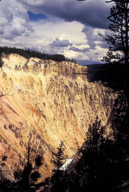
Grand Canyon of the Yellowstone River from Artist Point
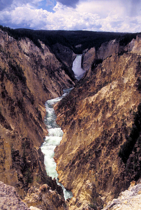
Yellowstone Canyon, Lower Falls from Artist Point
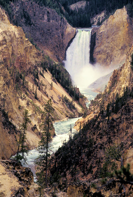
Lower Yellowstone Falls from Artist Point
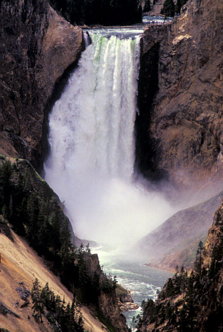
Lower Yellowstone Falls from Artist Point