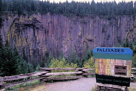
Palisades basalt columns on U.S. 12 near
White Pass, Washington
Sunday, August 4, 1996
Visited Walmart in Yakima, gassed up and headed west on US 12, then Route 410 towards Mt. Rainier.
Turned off to Bumping Lake, drove to end of a gravel road to the Swamp Lake trailhead into the William O. Douglas Wilderness on the east side of Rainier.
The drive from Randle over White Pass and the above drive were quite scenic and interesting.
Both roads have deep canyons and/or nice sized rivers running beside them much of the way.
In the low lands near Yakima, the hillsides are quite interesting. Long stretches of basalt columns like Devil's Postpile for miles.
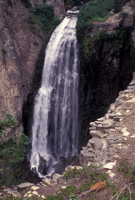
Clear Creek Falls, east of Dog Lake on U.S. 12 east of
White Pass, Washington
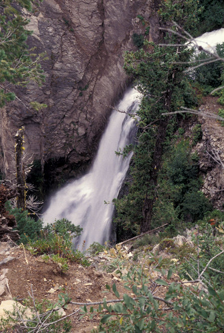
Clear Creek Falls, east of Dog Lake on U.S. 12 east of
White Pass, Washington
At the trailhead I just laid around and reorganized a few things so I could take a day hike on Monday.
A horse party was assembling it's gear (rather slowly). They finally got ready to leave when one of the horses started bucking its rather heavy set rider.
The horse went up a small rise in the ground, dropped down the other side, made a sharp turn and the rider hit the ground with a thud. Fortunately he missed some rocks and landed in dirt pretty much flat on his back. Not hurt.
This spooked the two pack horses and one other riding horse.
The riding horse almost tossed its rider on the hood of the International. Fortunately the rider got off before that happened.
One pack horse scattered gear all over the place. The original horse ran off down the road. Took them an hour and a half to get it all together again. Fortunately no people or animals hurt.
As they were finally leaving, one of two dogs they had, decided he didn't want to go and wouldn't follow them. So I put it in the horse trailer for them. They were only going to be gone overnight.
Monday, August 5, 1996
In the morning, Bart the dog, when he discovered me outside, wanted out of the horse trailer and managed to jump up high enough to get over the top. Since I was going to where his master was camped, I decided to take him along, rather than leave him wandering around the parking lot.
We headed off on the Swamp Lake trail in the William O. Douglas Wilderness under cloudy skies with light sprinkle falling occasionally.
When I got to Swamp Lake, discovered the horse party was camped around on the far end.
I had to "wade" through a lot of wet trees and bushes to get there so was very happy to cozy up to their fire to warm up and dry out.
Stayed about two hours and they fed me pancakes, bacon and eggs for lunch. Bart was happy to be back with family.
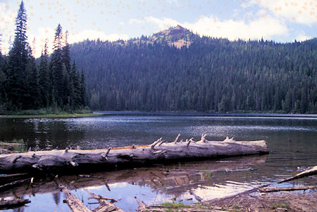
Swamp Lake
William O. Douglas Wilderness, Washington
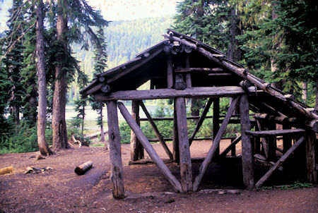
Shelter at Swamp Lake,
William O. Douglas Wilderness, Washington
Found a way back to the trail that was out of the wet trees and bushes and headed for Cougar Lake.
The clouds started to break up and the sun began to brighten the scene. Cougar Lake very nice with some interesting surrounding cliffs, etc. Fields of purple flowers along the trail.
Clouds still obscured some of the peaks but was very pretty. Headed six miles back to the car at 3pm. With the side hike at Swamp Lake, round trip was 13 miles.
On the way back met a 14yr old boy and his mother backpacking into Cougar Lake. Not many mothers do that for their son.
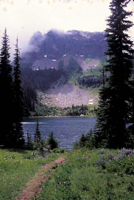
Little Cougar Lake
William O. Douglas Wilderness, Washington
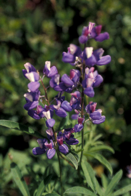
Flower at Little Cougar Lake,
William O. Douglas Wilderness, Washington
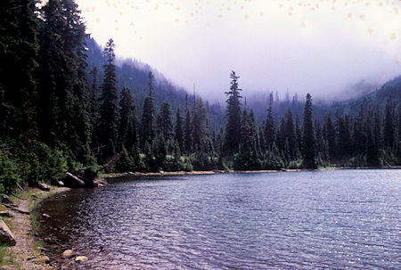
Little Cougar Lake
William O. Douglas Wilderness, Washington
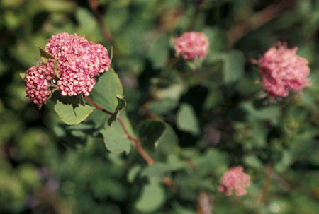
Flower at Little Cougar Lake,
William O. Douglas Wilderness, Washington
Tuesday, August 6, 1996
Awoke to bright sunny clear skies. Dried things out that were still damp and moved to another trailhead for the William O. Douglas Wilderness.
Wednesday, August 7, 1996
Headed out for Tumac Mountain, 6,340' which has a trail to the top since it once had a fire lookout on it. The guide book says it has great views of the area (which is true). 2100' gain, 800' in the first mile and a half to the two Twin Sister Lakes. Both fairly large with nice camping.
The trail then climbs slowly through meadows that are being taken over by trees in many places. Fields of purple and other flowers.
The trail then starts a steep climb to the peak - approaching 100% grade (that's one foot up for every foot forward). Chewed up by horses over the years and slippery and muddy in spots.
Mt. Rainier was visible much of the time as I climbed. From the top Mt. Rainier was right in your face, Mt Adams prominent to the south, and Mount St. Helens visible also.
The two Twin Sister Lakes and a number of other smaller lakes and several nice meadows also visible along with many ridges and peaks not so famous. Spent an hour on top.
The peak had a register. On July 5, a guy named George McHenry from Yakima had put up a new notebook - I know him. Small world sometimes.
Headed back to the car about noon - 10 miles round trip including a side trip to the larger lake.
Oh, by the way, I had a deer graze within five feet of my car both evenings at this campsite. By the time I got my camera out the first night it had spooked and it was too dark the second night. Think it was the same deer both nights. Had one come into the campground over by Mt. Hood also.
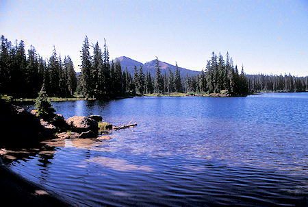
Little Twin Sisters Lake & Tumac Mountain
William O. Douglas Wilderness, Washington
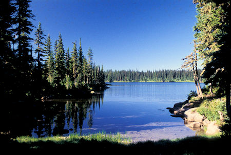
Little Twin Sisters Lake
William O. Douglas Wilderness, Washington
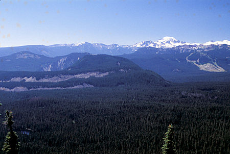
Mt. Adams from Tumac Mountain
William O. Douglas Wilderness, Washington
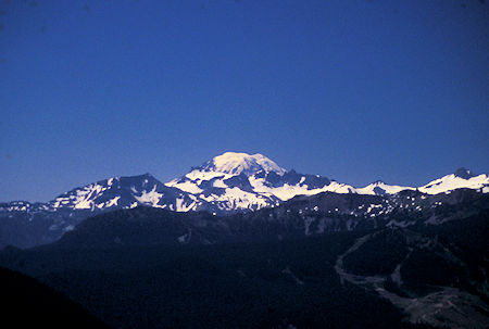
Mt. Adams from Tumac Mountain
William O. Douglas Wilderness, Washington
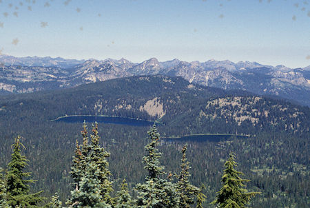
Twin Sisters Lakes from Tumac Mountain
William O. Douglas Wilderness, Washington
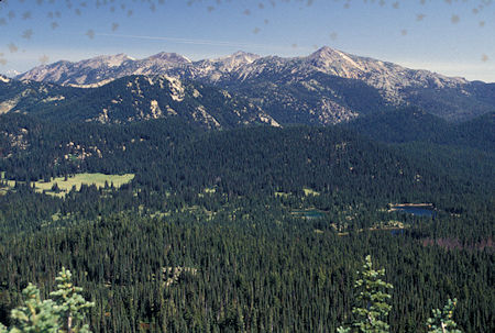
Mt. Aix from Tumac Mountain
William O. Douglas Wilderness, Washington
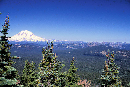
Mt. Rainier and two Twin Sisters Lakes from Tumac Mountain,
William O. Douglas Wilderness, Washington
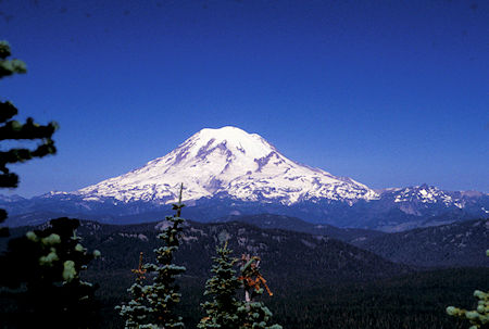
Mt. Ranier from Tumac Mountain
William O. Douglas Wilderness, Washington
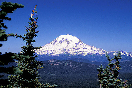
Mt. Rainier from Tumac Mountain
William O. Douglas Wilderness, Washington
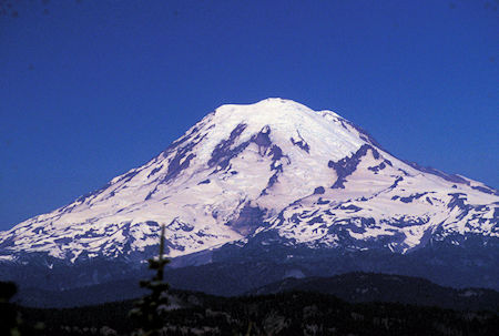
Mt. Rainier from Tumac Mountain
William O. Douglas Wilderness, Washington
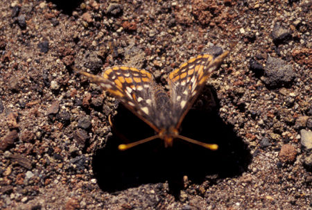
Butterfly on top of Tumac Mountain
William O. Douglas Wilderness, Washington
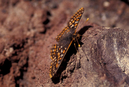
Butterfly on top of Tumac Mountain
William O. Douglas Wilderness, Washington
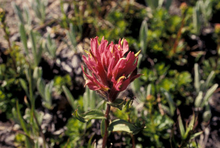
Flower on trail down from
Tumac Mountain, William O. Douglas Wilderness, Washington
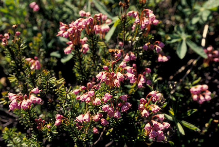
Flowers on trail down from
Tumac Mountain, William O. Douglas Wilderness, Washington
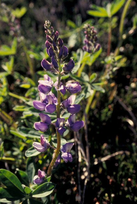
Flower on trail down from Tumac Mountain
William O. Douglas Wilderness, Washington
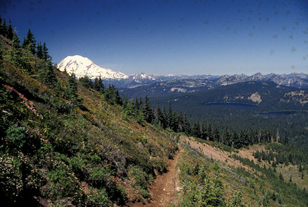
Flowers, Mt. Rainier, Twin Sister Lakes on trail down from
\Tumac Mountain, William O. Douglas Wilderness, Washington
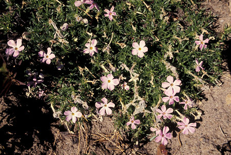
Flowers on trail down from Tumac Mountain
William O. Douglas Wilderness, Washington
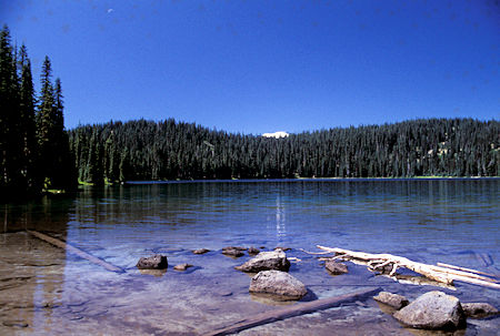
Larger Twin Sister Lake with Mt. Rainier in trees
(moon upper left), William O. Douglas Wilderness, Washington
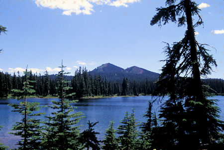
Tumac Mountain over smaller Twin Sister Lake,
William O. Douglas Wilderness, Washington
Thursday, August 8, 1996
I drove into Yakima to mail some film and replenish supplies, then drove up US 12 to Rimrock Lake, then Clear Lake and the North Fork trailhead for McCall Basin in the Goat Rocks Wilderness.
Friday, August 9, 1996
It dawned another beautiful day. Supposed to get over 100 in Yakima but is beautiful here. The first five miles of trail climbs 1400 feet to Tieton Pass. This is a relatively new trail (last 15 or 20 years) and has a beautiful hiker's grade. Open ancient forest, numerous streams - a real delight to hike.
At Tieton Pass is the Pacific Crest Trail. While having an early lunch a man from Portland doing the Washington section of the Pacific Crest Trail showed up and we had a nice chat. He will do about 500 miles and was in his ninth day.
My route followed the Pacific Crest Trail for about a mile, then cut off to McCall Basin. Gained another 200 feet then dropped 400 to the basin. Beautiful large meadows, nice campsites, nice sized icy stream, numerous snowy mountains. I found a use trail that climbs a hundred feet or so into a neat glacial basin. Several good sized waterfalls and lots of flowers.
I climbed to another saddle and was able to see the McCall glacier.
Unfortunately, the trees limited visibility of the nearby peaks. There was another basin that would have taken several hours to explore.
Sort of wished I had brought my overnight gear (except for having to carry that heavy pack <grin>). It was still a neat hike - 15 miles round trip including the exploring.
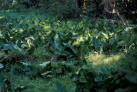
Plant on McCall Basin trail, Goat Rocks Wilderness, Washington
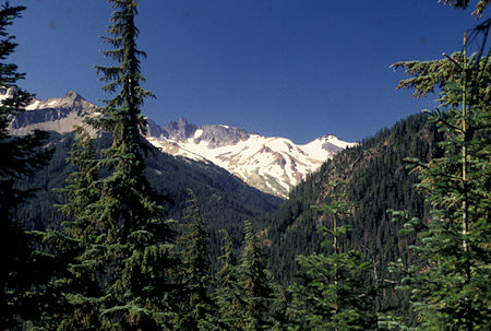
Toward McCall Basin from trail
Goat Rocks Wilderness, Washington
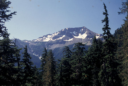
Tieton Peak from McCall Basin trail
Goat Rocks Wilderness, Washington
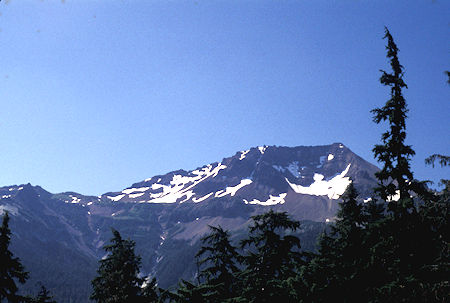
Tieton Peak from McCall Basin trail
Goat Rocks Wilderness, Washington
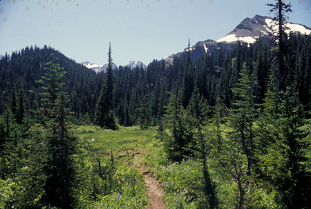
McCall Basin, Goat Rocks Wilderness, Washington
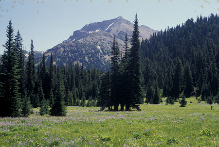
McCall Basin, Goat Rocks Wilderness, Washington
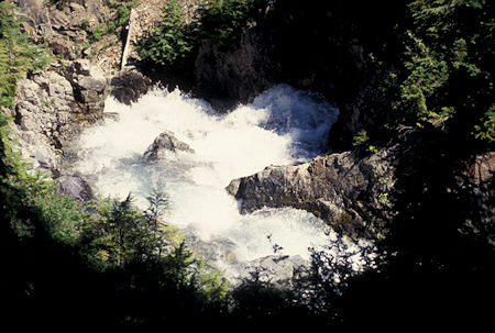
Plunging cascade, McCall Basin
Goat Rocks Wilderness, Washington
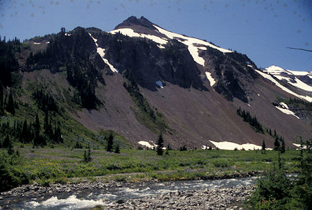
McCall Basin, Goat Rocks Wilderness, Washington
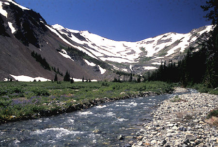
McCall Basin, Goat Rocks Wilderness, Washington
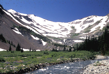
McCall Basin, Goat Rocks Wilderness, Washington
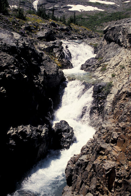
McCall Basin, Goat Rocks Wilderness, Washington
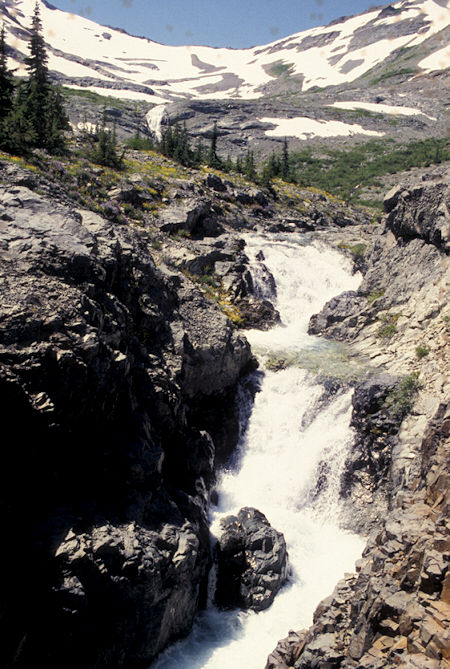
McCall Basin, Goat Rocks Wilderness, Washington
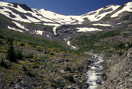
McCall Basin, Goat Rocks Wilderness, Washington
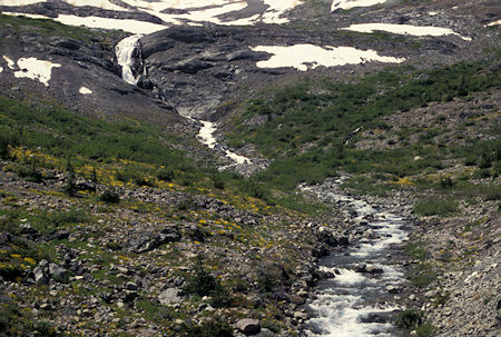
McCall Basin, Goat Rocks Wilderness, Washington
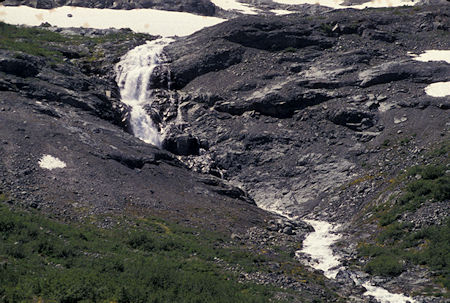
McCall Basin, Goat Rocks Wilderness, Washington
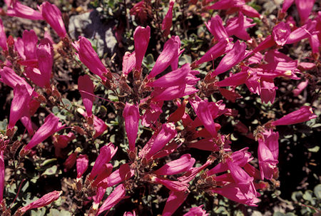
Flowers in McCall Basin, Goat Rocks Wilderness, Washington
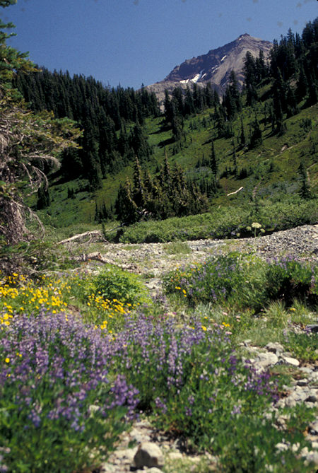
Flowers in McCall Basin, Goat Rocks Wilderness, Washington
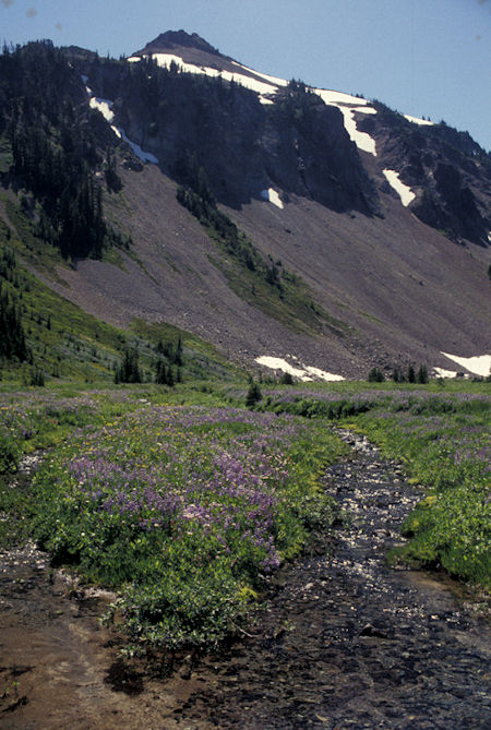
Flowers in McCall Basin, Goat Rocks Wilderness, Washington
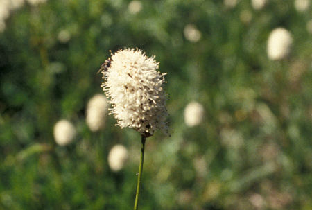
Flower in McCall Basin, Goat Rocks Wilderness, Washington
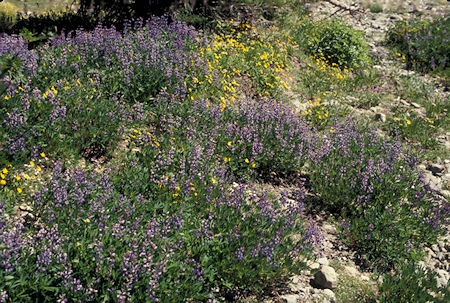
Flowers in McCall Basin, Goat Rocks Wilderness, Washington
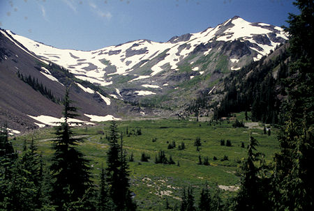
McCall Basin, Goat Rocks Wilderness, Washington
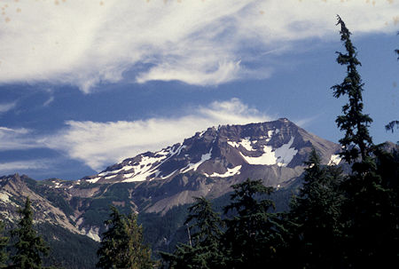
Tieton Peak from McCall Basin trail
Goat Rocks Wilderness, Washington
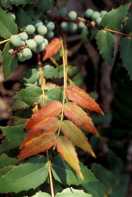
Berry plant on McCall Basin trail
Goat Rocks Wilderness, Washington
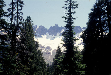
Unidentified Peak, Goat Rocks Wilderness, Washington
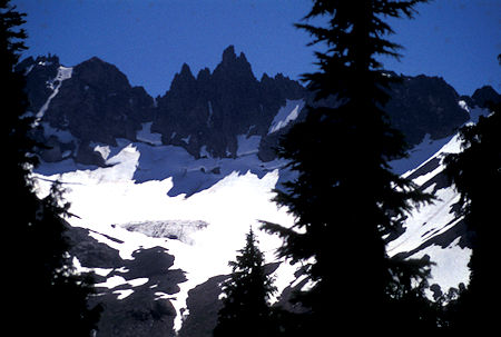
Unidentified Peak, Goat Rocks Wilderness, Washington
Saturday, August 10, 1996
I decided to just be lazy and stay in the free campsite I had at the trailhead.
Sunday, August 11, 1996
Since it was sunny and I wasn't far away, I decided to go back to Windy Ridge at Mount St. Helens to get some decent pictures (it was cloudy and rainy when I was there previously). Turned out to be a great day and hopefully I now have some good pictures from that vantage point.
Along the way on U.S. 12 I stopped again at Clear Creek Falls east of
White Pass, Washington. Also had fine views of Mt. Rainier.
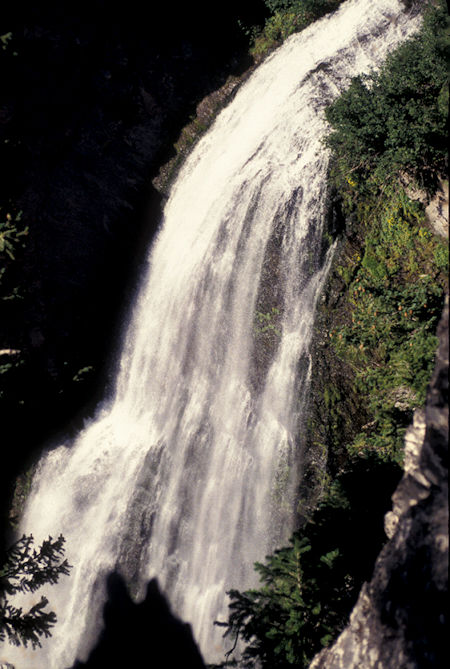
Clear Creek Falls, east of Dog Lake on U.S. 12 east of
White Pass, Washington
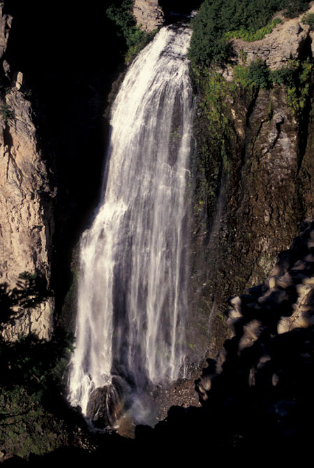
Clear Creek Falls, east of Dog Lake on U.S. 12 east of
White Pass, Washington
Great views of Mt. Rainier from Highway 12 on the way to Windy Ridge road.
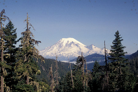
Mt. Rainier from Hwy 12
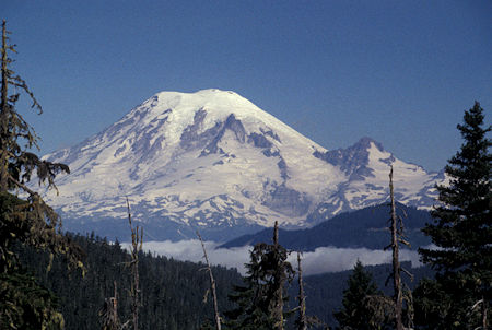
Mt. Rainier from Hwy 12
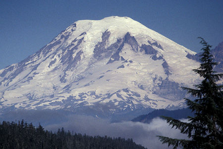
Mt. Rainier from Hwy 12
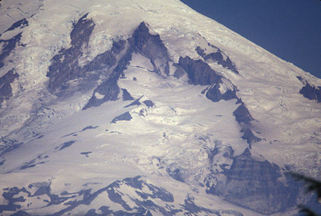
Mt. Rainier from Hwy 12
I soon headed out on Windy Ridge road to get new pictures.
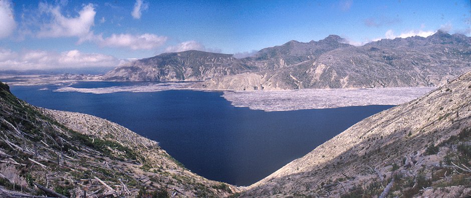
Spirit Lake from Cedar Creek viewpoint on Windy Ridge road, Mount St. Helens National Volcanic Monument, Washington
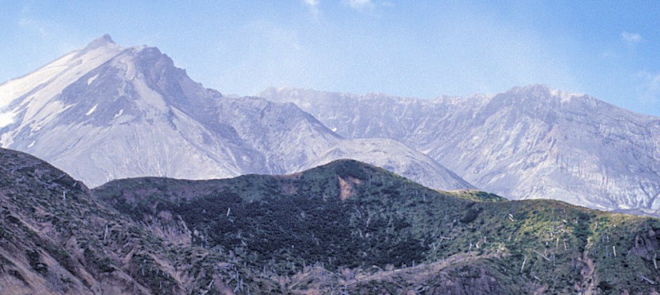
Mount St. Helens Crater, peak, old dome, green area preserved by snow, from Windy Ridge
Mount St. Helens National Volcanic Monument, Washington
Click here for MUCH MORE Mount St. Helens
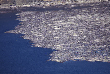
Logs floating in Spirit Lake from Cedar Creek viewpoint on Windy Ridge road, Mount St. Helens National Volcanic Monument, Washington
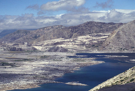
Spirit Lake and chunks of mountain that created new dam enlarging the lake, as seen from Windy Ridge, Mount St. Helens National Volcanic Monument, Washington
Drove back to Yakima for a Motel night.


