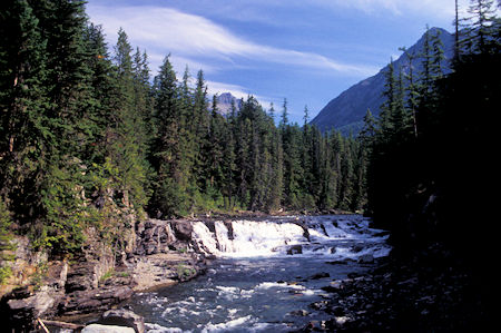
McDonald Creek near start of Going To Sun Highway, Glacier National Park
Saturday, August 23, 1997
Returned to the Polebridge junction and took the "outside" North Fork (of Flathead River) road south back to McDonald Lake.
The "inside" road is mostly narrow, potholed, primitive dirt while the "outside" road is full width gravel and paved.
Headed up the Going to the Sun Highway which was completed in 1933 although parts of it were open earlier.
Quite an engineering feat for the times and was an historic accomplishment for the National Park Service.
No motorhomes or trailers are allowed on the upper narrow portion.
The views going up to Logan Pass were spectacular and I stopped to take many pictures.
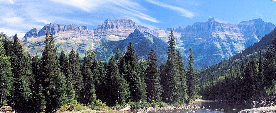
Flattop Mtn & Others, Garden Wall above McDonald Creek, Glacier National Park
These mountains are VERY different from the Sierra which made them particularly interesting.
Snow fields, glaciers and waterfalls added to the scene.

Heavens Peak 8987' & ridge to north from Going To Sun Highway, Glacier National Park
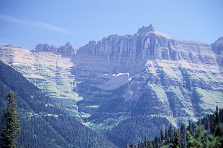
Ragged Peak, Garden Wall, Going To Sun Highway, Glacier National Park
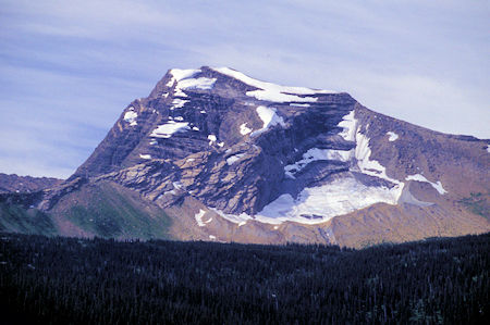
Heavens Peak 8987', Going To Sun Highway, Glacier National Park
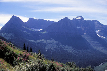
Mt. Oberlin, Going To Sun Highway, Glacier National Park
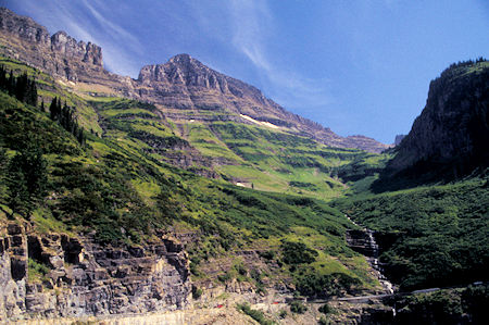
Garden Wall, Going To Sun Highway, Glacier National Park
Got to the Logan Pass Visitor Center about 1 p.m. and had to circle a few times to find a parking place. Some people had just parked in one of the aisles and abandoned their cars - saw at least one ticket issued by a Ranger.
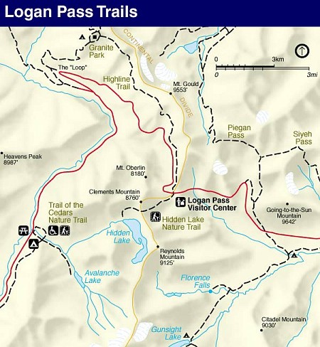
Had a very interesting guide and the alpine area is very pretty. Lots of flowers and interesting rock, etc.
Saw some Mountain Goats that didn't seem to mind the several thousand people hiking the trail.
Two adults were resting at the top of a snow field - the guide thought they were probably on the snow to stay cool since their winter coat was starting to develop.
Also saw some young ones in the bushes.
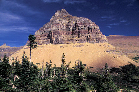
Pollock Mtn, Logan Pass Area, Glacier National Park
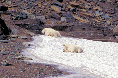
Mtn Goats on Hidden Lake Trail, Logan Pass area, Glacier National Park
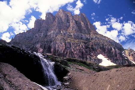
Clements Mtn on Hidden Lake Trail, Logan Pass area, Glacier National Park
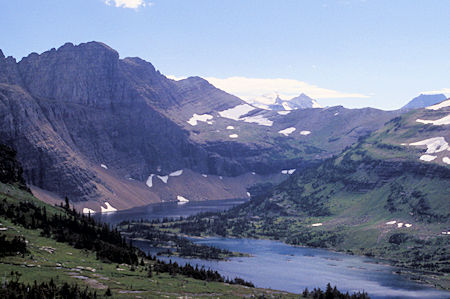
Sperry Peak & Glacier over Hidden Lake, Logan Pass area, Glacier National Park
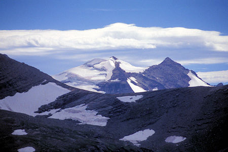
Sperry Peak & Glacier from Hidden Lake Overlook, Logan Pass area, Glacier National Park
Glacier National Park has over 50 identified glaciers and we could see the Sperry Glacier from the Hidden Lake overlook. The lake is large and very pretty.
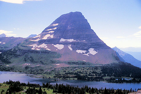
Bear Hat Mtn over Hidden Lake, Logan Pass area, Glacier National Park
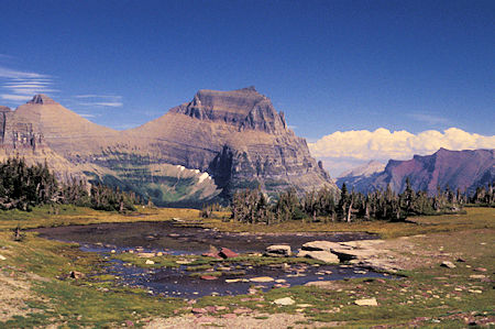
View east from Hidden Lake Trail, Logan Pass area, Glacier National Park
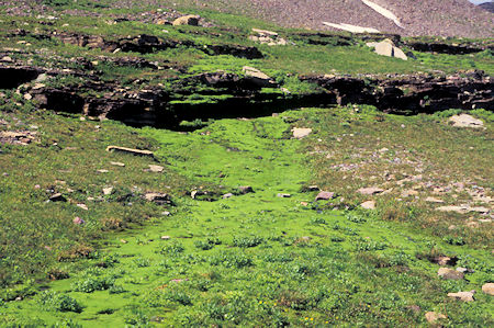
Green Moss on Hidden Lake Trail, Logan Pass area, Glacier National Park
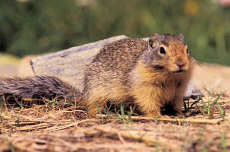
Young Marmot at viewpoint west of Logan Pass, Glacier National Park
Drove east down toward St. Mary Lake. More fine views including a couple of pretty impressive waterfalls right beside the road.
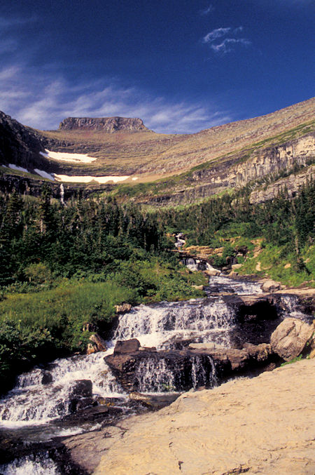
Creek from Going To Sun Highway east of Logan Pass, Glacier National Park
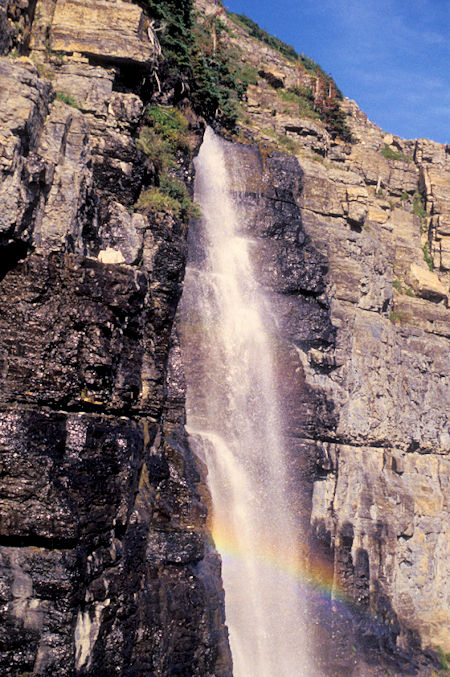
Waterfall & Rainbow on Going To Sun Highway east of Logan Pass, Glacier National Park
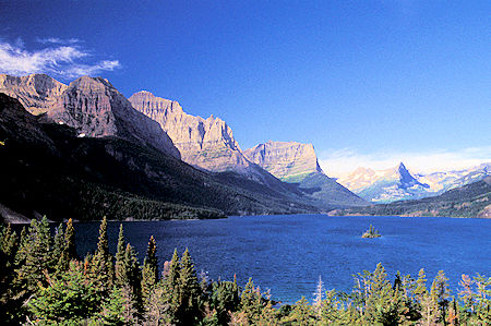
St. Mary Lake and Wild Goose Island from below Jackson Glacier View Point
Glacier National Park
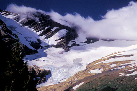
Jackson Glacier from Going To Sun Highway, Glacier National Park
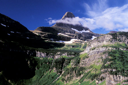
Reynolds Mtn from Going To Sun Highway, Glacier National Park
Made camp at the Rising Sun Campground in the Park near St. Mary Lake.
Sunday, August 24, 1997
Early in the morning a storm blew in - wind rocked the chariot.
It rained fairly heavily the rest of the night and on into the morning. I decided to layover.
The rain lightened up about noon, then came back, then cleared to some blue sky.
Then it showered off and on all afternoon.
It was nice being inside my iron house.


