Saturday, August 15, 1998
Headed east under a high overcast on the Yellowhead Highway toward Prince George.
At New Hazelton (History of New Hazelton), stopped at the visitor center which has some nice and interesting historical statues.
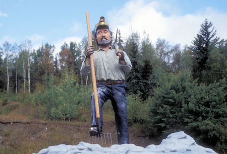
Logger statue at New Hazelton, British Columbia
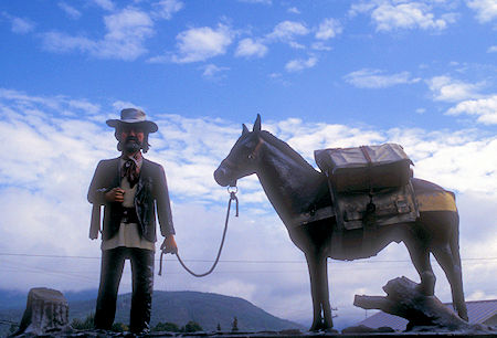
Packer statue at New Hazelton, British Columbia
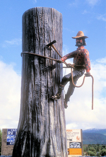
Logger statue at New Hazelton, British Columbia
I visited the nearby Ksan Historical Village operated by the local band of First Nations.
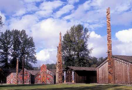
Totem poles at Ksan Historical Village near New Hazelton, British Columbia
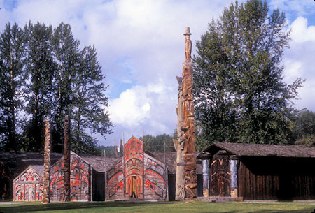
Totem poles at Ksan Historical Village near New Hazelton, British Columbia
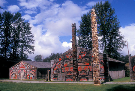
Totem poles at Ksan Historical Village near New Hazelton, British Columbia
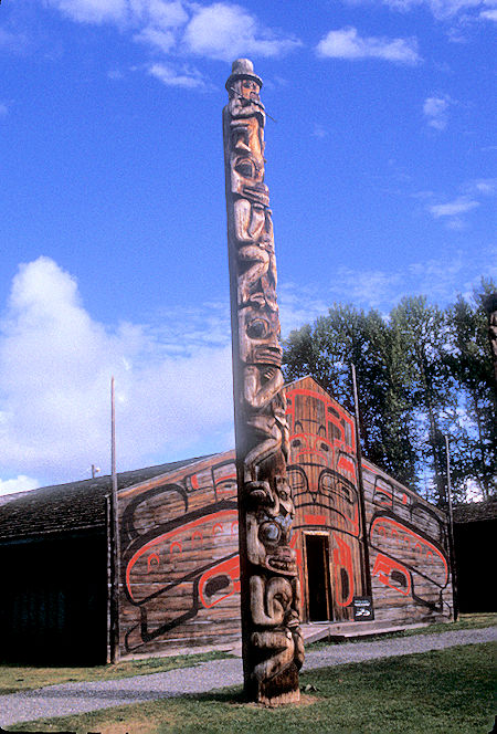
Totem pole at Ksan Historical Village near New Hazelton, British Columbia
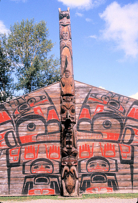
Totem pole at Ksan Historical Village near New Hazelton, British Columbia
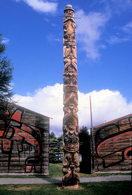
Totem pole at Ksan Historical Village near New Hazelton, British Columbia
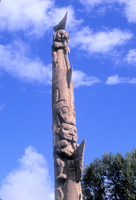
Totem pole at Ksan Historical Village near New Hazelton, British Columbia
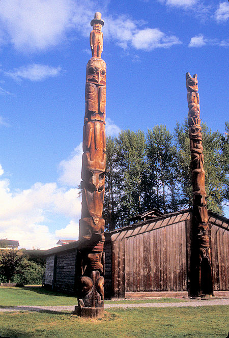
Totem poles at Ksan Historical Village near New Hazelton, British Columbia
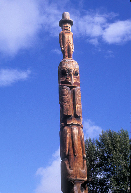
Totem pole at Ksan Historical Village near New Hazelton, British Columbia
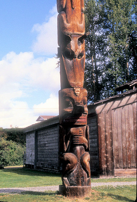
Totem pole at Ksan Historical Village near New Hazelton, British Columbia
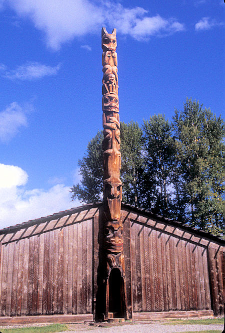
Totem pole at Ksan Historical Village near New Hazelton, British Columbia
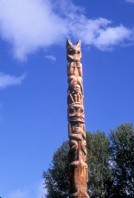
Totem pole at Ksan Historical Village near New Hazelton, British Columbia
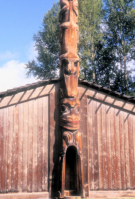
Totem pole at Ksan Historical Village near New Hazelton, British Columbia
Checked out some totem poles at the village of Kispiox. Kispiox is a Gitxsan (often known also as Gitksan, due to eastern and western dialects) village of approximately 550 in the Kispiox Valley, at the confluence of the Kispiox and Skeena Rivers in British Columbia. Located 13 km north of Hazelton, the community is situated within the Kispiox Indian Reserve and is managed by the Kispiox Band Council.
Kispiox is perhaps most known to outsiders for its totem poles, some of which were the subject of Emily Carr paintings in the early 20th Century.
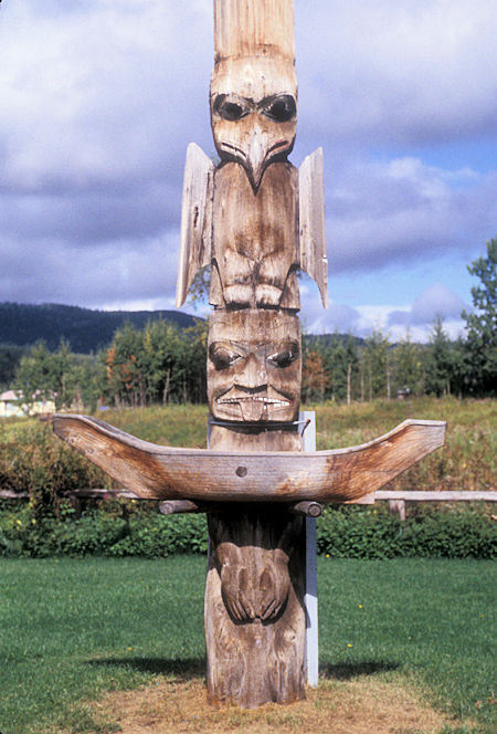
Totem Pole at Kispiox Village, British Columbia
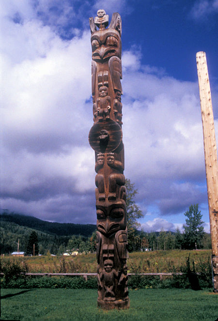
Totem Pole at Kispiox Village, British Columbia
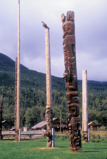
Totem Poles at Kispiox Village, British Columbia
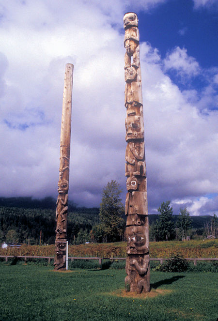
Totem Poles at Kispiox Village, British Columbia
Back on the Yellowhead Highway I made a brief stop at Moricetown Canyon and Falls - nothing special and the very small falls has a bunch of man-made diversion stuff, etc.
As I got near Smithers, BC (More about Smithers) I saw a major glacier high in a mountain valley south of the highway. Not much of a photograph but I could tell that it was a fairly significant glacier. Turned off and drove to see the Twin Falls fed by this glacier in Glacier Gulch. Nice falls - can't see the glacier from the falls.
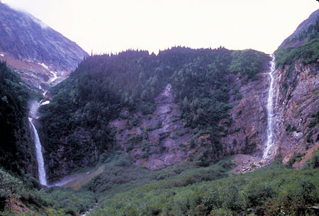
Twin Falls in Glacier Gulch near Smithers, British Columbia
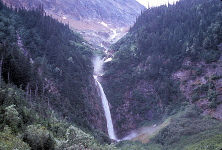
One of Twin Falls in Glacier Gulch near Smithers, British Columbia
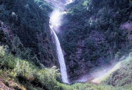
One of Twin Falls in Glacier Gulch near Smithers, British Columbia
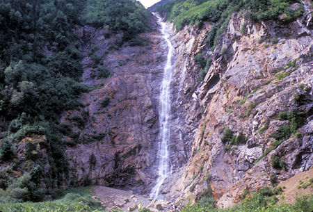
One of Twin Falls in Glacier Gulch near Smithers, British Columbia
Smithers is a fair sized town, mostly forest products, alfalfa farms and recreation. The scenery changed to rolling forested hills as I continued east, stopping for the night at Beaumont Provincial Park campground on Fraser Lake.
Sunday, August 16, 1998
It was raining pretty steady so I decided to lay over for a day, hoping for better weather to see Fort St. James National Historic Site nearby.
Monday, August 17, 1998
Beautiful sunny morning as I drove out to the BC Parks Fort St. James National Historic Site. Very fine display with costumed "guides" in several of the buildings that related relevant history. Very enjoyable, particularly since I got there before the bus tours started to arrive.
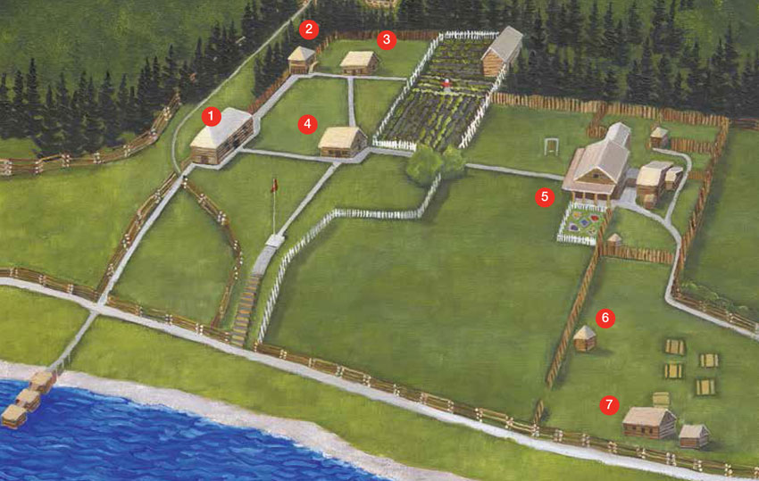
1. General Warehouse and Fur Store (1888-1889) - The warehouse sheltered or accommodated the trade goods for Fort St. James and the surrounding outposts. Furs were stored in this building where they were baled for their journey to Victoria. The warehouse is one of the finest surviving examples of a Red River frame fur trade building in Canada.
2. Fish Cache (1889) - Dried salmon and bacon were stored here for company employees and the Carrier people. An adaptation of the traditional Carrier fish cache, the building is raised by four corner elevated posts to deter predators.
3. Men's House (1884) - The men's house was a residence for company employees, pack train hands, boat crews and visitors. The building also served as an early schoolhouse and as a private residence in the 1930s and 1940s.
4. Trade Store (1884) - This was the commercial centre of the post where furs were traded for many goods displayed inside. The building also served as the first post office in the area until fire destroyed it in 1919. The building that stands today is an authentic reconstruction to the 1896 period.
5. Officer’s Dwelling House [Murray House] (1883-1884) - This house was the residence for the factor in charge of the post. Although it underwent many changes over the years, it has been restored to the period of A.C. Murray’s occupancy in 1896.
6. Play House
7. Commemoration Café - Enjoy a delicious meal at the Commemoration Café, while feasting your eyes on one of the most spectacular lake views in British Columbia.
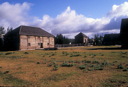
General Warehouse and Fur Store (1888-1889), and Fish Cache (1889) in rear,
Fort St. James National Historic Site, British Columbia
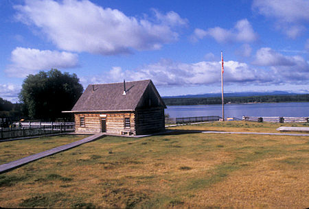
Trade Store (1884), Fort St. James National Historic Site, British Columbia
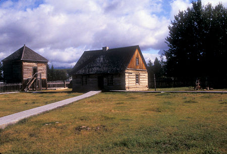
Men's House (1884) right and Fish Cache (1889) left,
Fort St. James National Historic Site, British Columbia
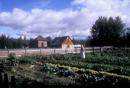
Men's House (1884) right and Fish Cache (1889) left behind garden,
Fort St. James National Historic Site, British Columbia
Click for more Fort St. James National Historic Site
Continued east to Prince George, then turned south on the Caribou Highway (97) toward Quesnel, BC (More about Quesnel) where I turned off for Barkerville Historic Town, BC which is another BC Historical Park.
Camped for the night at the Lowhee campground just outside Barkerville.
Tuesday, August 18, 1998
Awoke to rain and low misty clouds so decided to sort of lay over - hopefully better weather tomorrow to see Barkerville which is a pretty extensive park.
After dinking around for a while, decided to drive back into Quesnel to convert some more US money to Canadian. Exchange rate keeps getting better - 1.509 - $100.00 US became $150.90 Canadian.
On the way back, stopped at the Cottonwood House Historical Site, a small roadhouse complex which served the Caribou gold rush. Although much the same as other similar places, it was interesting. They offered stage coach rides for a small fee. More about Cottonwood House.
Cottonwood House, a restored provincial heritage site, is one of the oldest buildings still standing in interior British Columbia.
Constructed on the Cariboo Waggon Road between 1864 and 1865, Cottonwood House served miners and travellers heading to Barkerville and the Cariboo Goldfields. John Boyd acquired this roadhouse in 1874, and the Boyd family operated the roadhouse, as well as a fully operational ranch, until 1951.
Cottonwood used to serve as a telegraph office for the Overland Telepgraph, and some of its poles and wires are still visible.
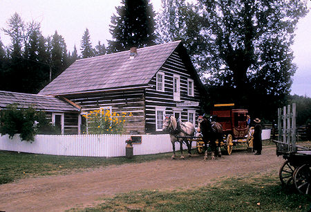
Cottonwood House Historic Site, British Columbia
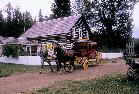
Cottonwood House Historic Site, British Columbia
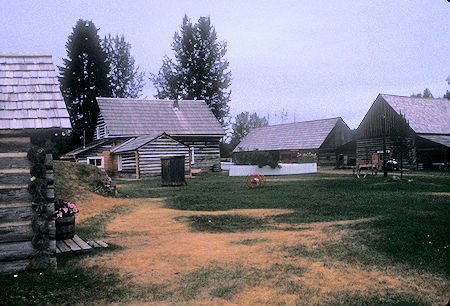
Cottonwood House Historic Site, British Columbia
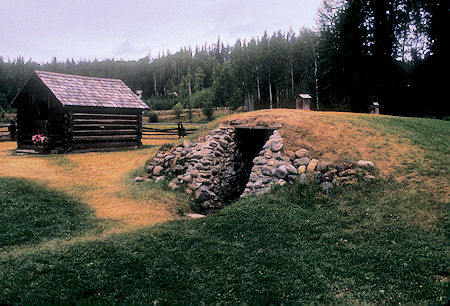
Cottonwood House Historic Site, British Columbia
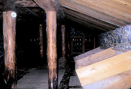
Cottonwood House Historic Site, British Columbia
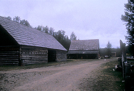
Cottonwood House Historic Site, British Columbia
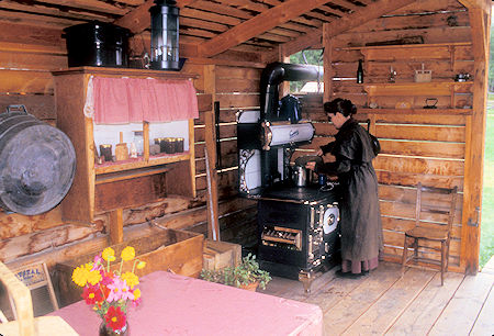
Cottonwood House Historic Site, British Columbia
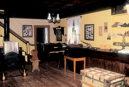
Cottonwood House Historic Site, British Columbia
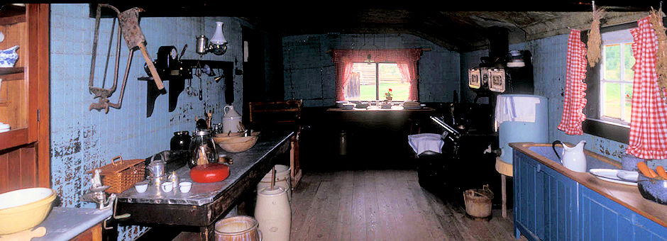
Cottonwood House Historic Site, British Columbia
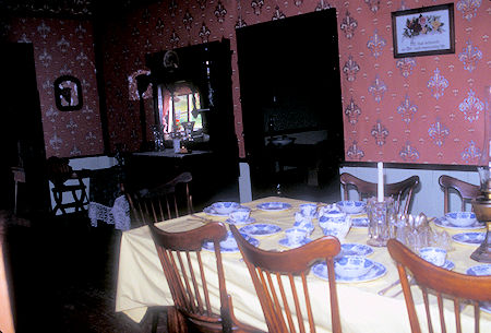
Cottonwood House Historic Site, British Columbia
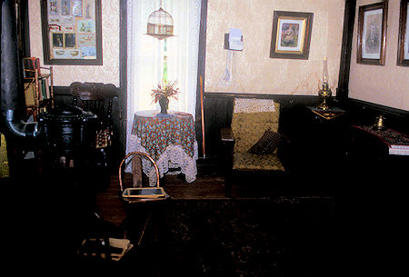
Cottonwood House Historic Site, British Columbia
Checked out the Stanley Road loop trip and the town of Wells, both historical mining areas - nothing much to see.
Took a look at the Barkerville Cemetery on Government Hill just outside of town. It originated in 1863 and contains numerous graves of that era. Interestingly, many of the people died in their 30's. I learned later that miners seldom lived beyond their thirties. There are also more recent 1990's era graves.
Back at the campground I caught up on my computer tasks and hoped for better weather.
Wednesday, August 19, 1998
Much better weather today - blue sky and clouds. Drove to Barkerville National Historic Park and was the first customer of the day. The town is nice in the early morning before a lot of people arrive, but it wasn't that bad later in the day. Over a 100 buildings to check out - many open with appropriate furnishings.
I checked out most of the buildings, then walked about a mile up Williams Creek to the site of Richfield where the only remaining building is the restored courthouse used by the Honorable Judge Matthew Baillie Begbie - known as the "Hanging Judge" although he only sentenced two men to hang.
He WAS a powerful force for law and order and is credited with keeping the mining towns in the area law abiding - unlike the rowdy California mine camps. An actor performs a show as the judge - very well done - very entertaining.
Back in Barkerville I went to the musical stage show in the theatre. This was a FABULOUS show - good music - entertaining "plot" - they involved the audience including one man who got on stage and became a performer. One of the highlights of my trip. Almost went back to the next show.
Also attended the "show" put on at a waterwheel that included two actors who did an entertaining job of explaining how mining was done along Williams Creek.
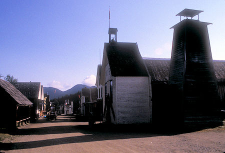
Street scene, Barkerville National Historic Park, British Columbia
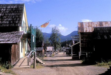
Street scene, Barkerville National Historic Park, British Columbia
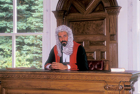
Judge Matthew Baillie Begbie, Richfield, British Columbia,
Barkerville National Historic Park, British Columbia
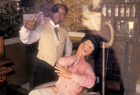
At the Dentist, Barkerville National Historic Park, British Columbia
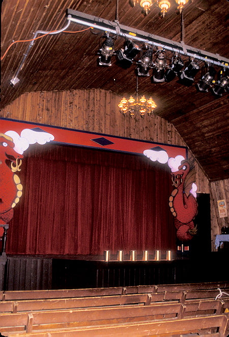
Theatre in Barkerville National Historic Park, British Columbia
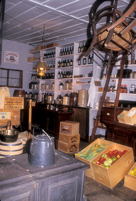
Store in Barkerville National Historic Park, British Columbia
Click for more Barkerville National Historic Park
This was a great day - really enjoyed it. Spent the night at the Lowhee campground again.
Thursday, August 20, 1998
Beautiful clear blue sky as I headed back to Quesnel and turned south again on Highway 97. Did some resupply and checked out the Quesnel Museum - lots of interesting stuff but I'd seen most of it at other museums.
Headed south again, stopping at the 108 Mile House, a roadhouse that served the Cariboo Wagon Road that served Barkerville and the other mining towns in the area. This site was mostly built and operated between 1886 and 1908 - at one time Clydesdale Horses were raised here.
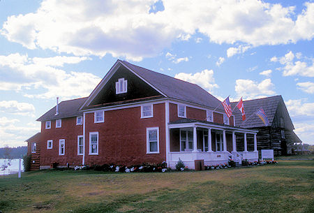
108 Mile Roadhouse, British Columbia
The 108 began as a Post House on the Cariboo Trail in 1867, the year of Canadian Confederation. During the next thirty-six years the property changed hands several times as various entrepreneurs provided services - including murder for gold.
In 1903 Captain Geoffry Watson purchased District Lot 76, a 320 acre spread as beautiful as any in the new west, which became home to a championship line of Clydesdale Horses until his death, while serving in World War I.
With the lumber boom in the 50's select fir was harvested. Stumps four and five feet in diameter remain as testimony to the drybelt giants of yesteryear.
It was the time of the last frontier, of wide open spaces, dark stands of evergreen and graceful groves of white-trunked Aspen, of shining lakes and the big, empty sky above. The human population was sparse, rugged pioneers scattered over a seemingly endless expanse of wilderness.
The 108 continued to sustain a mixture of cattle ranching and lumbering until 1969, when it was purchased by Henry Block.
While areas of 'the ranch' were developed as residential and others as airpot, resort and recreational facilities, care was taken to preserve the integrity of the landscape.
Fifteen hundred acres of greenbelt were set aside. A legacy of parkland unique in British Columbia, if not in the whole of Canada.
Over the years increasing numbers of people have been attracted to the lure of living in harmony with nature and to the abundance of recreational opportunities.
Today the 108 Mile Ranch continues to grow, and to nurture a deep love for this land we call the Cariboo.
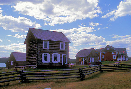
108 Mile Roadhouse, British Columbia
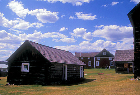
108 Mile Roadhouse, British Columbia
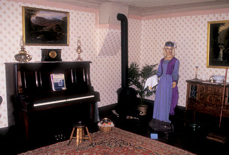
108 Mile Roadhouse, British Columbia
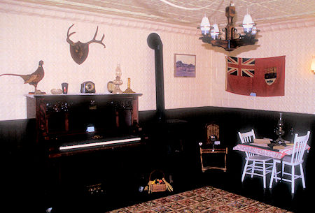
108 Mile Roadhouse, British Columbia
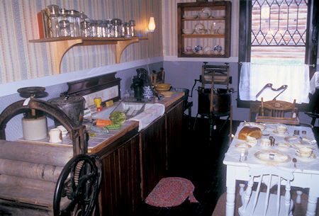
108 Mile Roadhouse, British Columbia
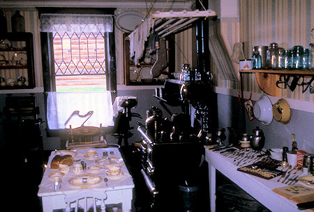
108 Mile Roadhouse, British Columbia
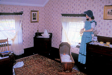
108 Mile Roadhouse, British Columbia
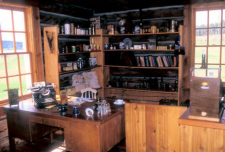
108 Mile Roadhouse, British Columbia
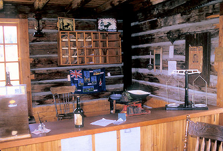
108 Mile Roadhouse, British Columbia
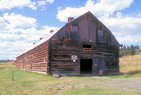
108 Mile Roadhouse, British Columbia
Continued south through rolling forested hills - mostly logging and ranching - numerous tree farms - lakes of various sizes - views of the Fraser River (a major water route before roads).
Most of this day was just moving down the road. At Cache Creek, turned east to Kamloops - terrain became dryer with many hills covered with grass instead of trees. Some lakes and the Thompson River.
Arrived at Kamloops, BC about 5 p.m. and got a room at the Hospitality Inn.
Friday, August 21, 1998
Did my laundry, resupplied, and headed north on Highway 5 to Wells-Gray Provincial Park .
Passed an accident on the highway - SUV off the road - rolled into a deep ditch - looked like someone had hit an animal (lots of blood on the road) but from the skid marks it appeared that the car that hit the animal was not the car that rolled.
I've seen several reminders on this trip to be alert for animals darting in front of you on the highway.
Wells-Gray has a number of nice waterfalls. I stopped at Spahats Falls that falls 200 feet - the canyon is 400 feet deep. Nice falls.
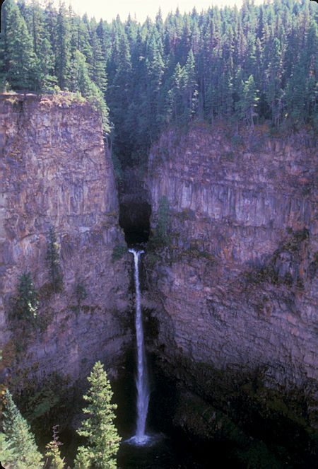
Spahats Falls 200', Wells-Gray Provincial Park, British Columbia
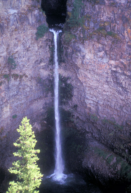
Spahats Falls 200', Wells-Gray Provincial Park, British Columbia
Next was Dawson Falls 59 feet drop and 299 feet wide - a GREAT waterfall.
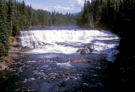
Dawson Falls 59' drop, 299' wide, Wells-Gray Provincial Park, British Columbia
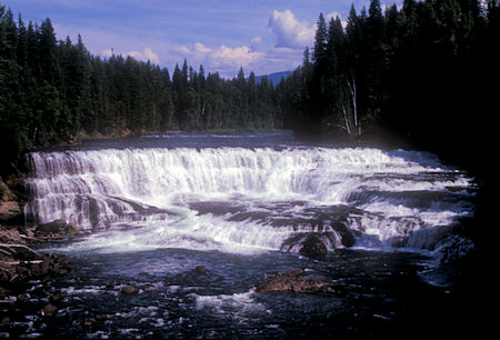
Dawson Falls 59' drop, 299' wide, Wells-Gray Provincial Park, British Columbia
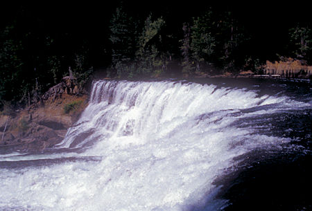
Dawson Falls 59' drop, 299' wide, Wells-Gray Provincial Park, British Columbia
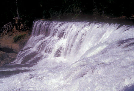
Dawson Falls 59' drop, 299' wide, Wells-Gray Provincial Park, British Columbia
On the same river, downstream is Helmcken Falls 463 feet in a giant canyon - a really SUPER waterfall.
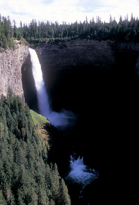
Helmcken Falls 463', Wells-Gray Provincial Park, British Columbia
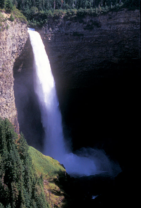
Helmcken Falls 463', Wells-Gray Provincial Park, British Columbia
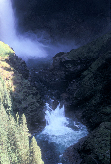
Helmcken Falls 463', Wells-Gray Provincial Park, British Columbia
I checked out a few other sights, then stopped at Bailey's Chute on the Clearwater River to see spawning Salmon jumping - trying to get above the chute.
Not many Salmon jumping today but I saw 3 give it a try - seems like an impossible task.
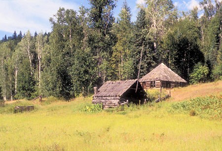
Ray Farm, Wells-Gray Provincial Park, British Columbia
Ray Lake and Mount Ray to the west are named for John Bunyan Ray the first settler in the Clearwater Valley who homesteaded near The Horseshoe on the Clearwater River in 1911.
He was born in 1878 in North Carolina and came to the Valley in 1909. He cleared land and built a small cabin beside what is now called Alice Lake. A larger cabin was built in 1929 which still stands today.
In 1932, after 21 years of a solitary lifestyle, at the age of 54, he married Alice Ludtke who was only 20. They raised three children on their remote farm, Nancy, Doug and Robert.
The Ray family decided to move to the North Thompson Valley in 1946, mainly so the children could receive a school education instead of by correspondence.
In December 1947, John Ray trekked into his old homestead and died there from a heart attack. Ray Lake, east of Mount Ray, and Ray Mineral Spring are also named for John Ray.
Alice died in 1959 at age 47 from cancer. Their graves are near the house.
Camped at the new Pyramid Campground in the park.
Saturday, August 22, 1998
Happy 66th Birthday. A beautiful sunny day.
Backtracked south to Kamloops, BC then continued east and south on Highway 97, crossing the US border at 3:30 p.m.
Glad to be back in the U S of A and ease the strain on my brain by not having to constantly convert kilometers to miles <grin>.


