The first time was on July 24, 1957 at the end of a solo backpack of about 72 miles from Giant Forest in the Sequoia-Kings Canyon National Park, while I was in the Navy, via the High Sierra Trail. On the top, I met the original members of what became Explorer Post 360 and ended up riding with them back to San Diego.
The High Sierra Trail leads from Crescent Meadow up the canyon of the Middle Fork of the Kaweah River, crossing the Great Western Divide by the 10,700' pass known as Kaweah Gap. It descends into Big Arroyo, then climbs up to the Chagoopa Plateau, and drops down again into the Kern River Canyon. After running up the bottom of the Kern Canyon, it turns east, climbing parallel to Wallace Creek up to the junction with the John Muir Trail, 49 miles from the starting point. You then follow the John Muir Trail about 13 more miles to the summit of Mount Whitney.
The above two links include details of the route. The second link has more information including pictures.
The second time was on September 3, 1960 as part of a San Diego County Council, Boy Scouts of America, John Muir Trek from North Lake to Mount Whitney. I was employed by the San Diego County Council and participated in my capacity as manager of their Sierra Treks program at the time.
The third time was on August 20, 1965 as leader of an Explorer Post 360 backpack from Onion Valley to Mount Whitney August 12-22 with 28 Explorers and 3 men. We took an alternate route via Center Basin over Juntion Pass and Shepherd Pass. Along the way we climbed Mt. Bradley (19 on top), Mt. Tyndall (21 on top). Everyone made the top of Mount Whitney and 23 slept on top.
The fourth time was on August 26, 1981 on a private backpack trip including myself and Jim White.
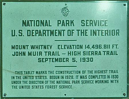
Plaque on top of Mount Whitney
Note: Actual elevation currently is listed as 14,505'
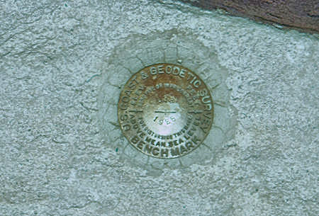
Geodetic survey bench mark
Mount Whitney is the tallest mountain in the contiguous United States and the Sierra Nevada, with an elevation of 14,505 feet. It is located in East–Central California, on the boundary between California's Inyo and Tulare counties, 84.6 miles west-northwest of the lowest point in North America at Badwater Basin in Death Valley National Park at 282 feet below sea level.
The west slope of the mountain is in Sequoia National Park and the summit is the southern terminus of the John Muir Trail which runs 211.9 mi from Happy Isles in Yosemite Valley. The east slope is in the Inyo National Forest in Inyo County.
The estimated elevation of the summit of Mount Whitney has changed over the years. The technology of elevation measurement has become more refined and, more importantly, the vertical coordinate system has changed. The peak was commonly said to be at 14,494 ft and this is the elevation stamped on the USGS brass benchmark disk on the summit. An older plaque on the summit (sheet metal with black lettering on white enamel) reads "elevation 14,496.811 feet" but this was estimated using the older vertical datum (NGVD29) from 1929. Since then the shape of the Earth (the geoid) has been estimated more accurately. Using a new vertical datum established in 1988 (NAVD88) the benchmark is now estimated to be at 14,505 ft.
The summit of Mount Whitney is on the Sierra Crest and the Great Basin Divide. It lies near many of the highest peaks of the Sierra Nevada. The peak rises dramatically above the Owens Valley, sitting 10,778 feet or just over two miles above the town of Lone Pine 15 miles to the east, in the Owens Valley. It rises more gradually on the west side, lying only about 3,000 feet above the John Muir Trail at Guitar Lake.
The mountain is partially dome-shaped, with its famously jagged ridges extending to the sides. Mount Whitney is above the tree line and has an alpine climate and ecology. Very few plants grow near the summit: one example is the sky pilot, a cushion plant that grows low to the ground. The only animals are transient, such as the butterfly Parnassius phoebus and the gray-crowned rosy finch.
In July 1864, the members of the California Geological Survey named the peak after Josiah Whitney, the State Geologist of California and benefactor of the survey. During the same expedition, geologist Clarence King attempted to climb Whitney from its west side, but stopped just short. In 1871, King returned to climb what he believed to be Whitney, but having taken a different approach, he actually summited nearby Mount Langley.
Upon learning of his mistake in 1873, King finally completed his own first ascent of Whitney, but did so a month too late to claim the first recorded ascent. Just a month earlier, on August 18, 1873, Charles Begole, A. H. Johnson, and John Lucas, all of nearby Lone Pine, had become the first to reach the highest summit in the contiguous United States. As they climbed the mountain during a fishing trip to nearby Kern Canyon, they called the mountain Fisherman's Peak.
In 1881 Samuel Pierpont Langley, founder of the Smithsonian Astrophysical Observatory remained for some time on the summit, making daily observations on the solar heat. Accompanying Langley in 1881 was another party consisting of Judge William B. Wallace of Visalia, W. A. Wright and Reverend Frederick Wales. Wallace later wrote in his memoirs that "The Pi Ute [Paiute] Indians called Mt. Whitney "Too-man-i-goo-yah," which means "the very old man." They believe that the Great Spirit who presides over the destiny of their people once had his home in that mountain." The spelling Too-man-i-goo-yah is a transliteration from the indigenous Paiute Mono language. Other variations are Too-man-go-yah and Tumanguya.
The most popular route to the summit is by way of the Mount Whitney Trail which starts at Whitney Portal, at an elevation of 8,360 feet, 13 miles west of the town of Lone Pine. The hike is about 22 miles round trip with an elevation gain of over 6,100 feet. Permits are required year round, and to prevent overuse a limited number of permits are issued by the Forest Service between May 1 and November 1.
The Forest Service holds an annual lottery for hiking and backpacking permits on the Mount Whitney Trail. Applications are accepted from February 1 through March 15. Any permits left over after the lottery is completed typically go on sale April 1. Current permit information here.
Most hikers plan to stay one or two nights camping along the route. Those in good physical condition sometimes attempt to reach the summit and return to Whitney Portal in one day. A single day hike requires a "day use" permit that prohibits the use of overnight camping gear (sleeping bag and tent). Day hikers often leave Whitney Portal before sunrise and hike from 12 to 18 hours round trip.
As occurred for all of my trips, longer approaches to Whitney arrive at its west side, connecting to the Mount Whitney Trail near the summit by way of the John Muir Trail.
It can also be reached via rock climbing routes and the Mountaineers Route from the North Fork of Lone Pine Creek on the East side.
The following pictures are a combination from the above trips starting below Crabtree Meadows where the John Muir Trail turns up Whitney Creek to climb Mount Whitney, views on top of Mount Whitney, and then the trail down the east side to Whitney Portal and Lone Pine. Some of the color quality is poor due to the fading of slides, particularly from 1957, before they were scanned.
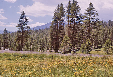
Sandy Meadow on the John Muir/Pacific Crest Trail
near Whitney trail junction - 19 Aug 1965
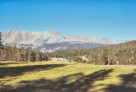
Kaweah range over Sandy Meadow on the
John Muir/Pacific Crest Trail
near Whitney trail junction - 31 Aug 1971
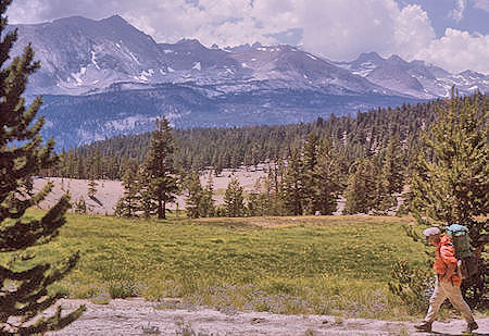
Kaweah range over Sandy Meadow on the
John Muir/Pacific Crest Trail
near Whitney trail junction - 19 Aug 1965
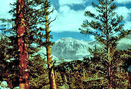
Mount Whitney from Crabtree Meadow trail - 01 Sep 1960
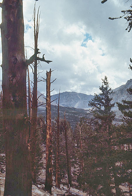
Burned trees and Mount Whitney from
near Crabtree Meadows - 25 Aug 1971
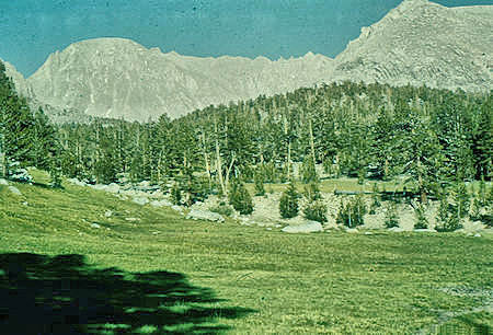
Upper Crabtree Meadow, Mt. Whitney,
near Crabtree Ranger Station - 00 Jul 1957
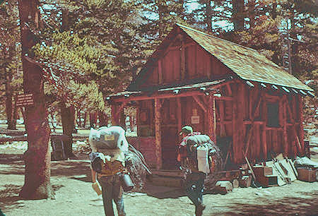
Crabtree Ranger Staton - 02 Sep 1960
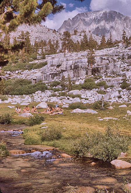
Explorer Post 360 trek members enjoying Whitney Creek
Mount Whitney - 19 Aug 1965
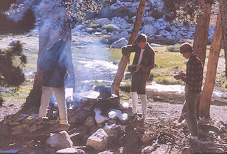
Explorer Post 360 enjoying breakfast
at Whitney Creek camp - 20 Aug 1965
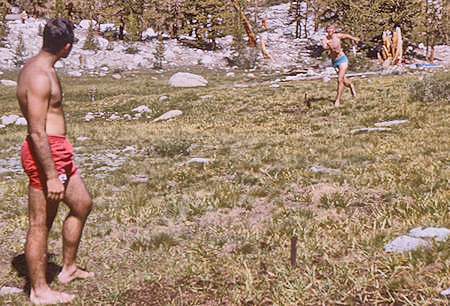
Playing 'horseshoes' with a stick
at Whitney Creek - 20 Aug 1965
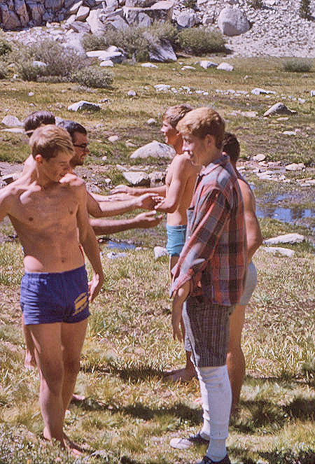
Explorer Post 360 members playing games
at Whitney Creek - 20 Aug 1965
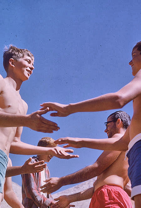
Explorer Post 360 members playing games
at Whitney Creek - 20 Aug 1965
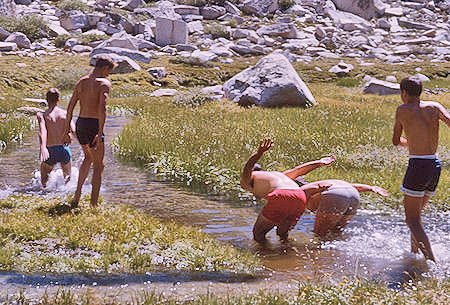
Explorer Post 360 enjoying Whitney Creek - 20 Aug 1965
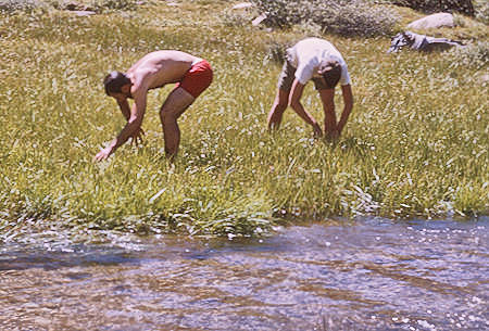
'rice pickers' at Whitney Creek - 20 Aug 1965
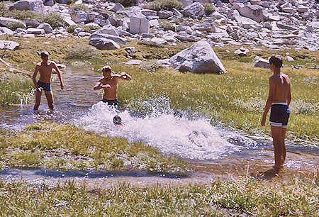
Explorer Post 360 enjoying swim
in Whitney Creek - 20 Aug 1965
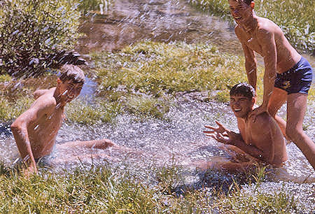
Explorer Post 360 enjoying swim
in Whitney Creek - 20 Aug 1965
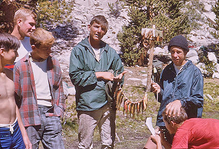
Explorer Post 360 fish catch from Whitney Creek - 20 Aug 1965
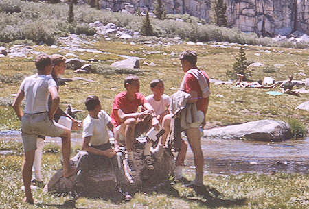
Explorer Post 360 enjoying campsite
at Whitney Creek - 20 Aug 1965
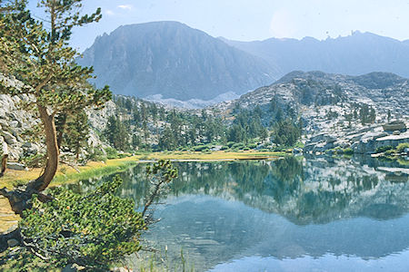
Mount Whitney over Timberline Lake
Sequoia National Park 26 Aug 1981
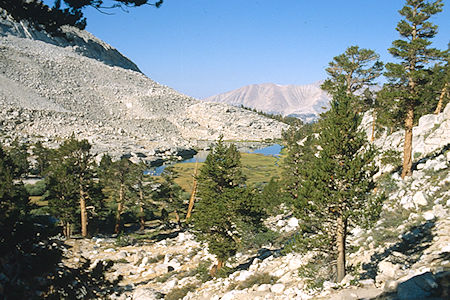
Timberline Lake - Sequoia National Park 26 Aug 1981
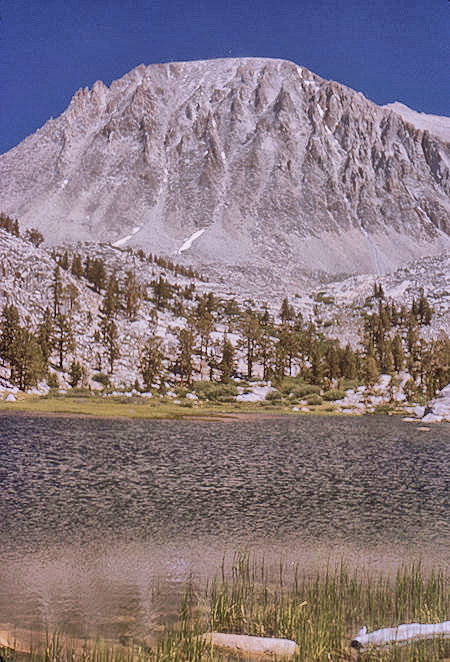
Mount Whitney over Timberline Lake - 20 Aug 1965
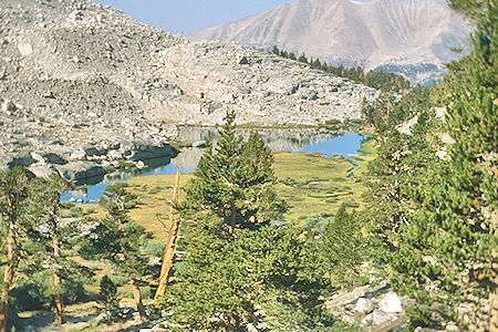
Timberline Lake - Sequoia National Park 26 Aug 1981
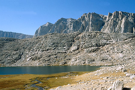
Guitar Lake, Mount HitchcockSequoia National Park 26 Aug 1981
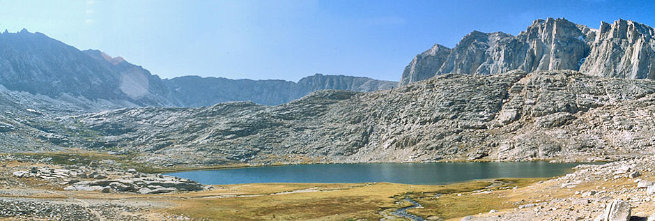
Guitar Lake, Mount Hitchcock - Sequoia National Park 26 Aug 1981
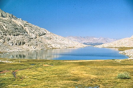
Guitar Lake - Sequoia National Park 26 Aug 1981
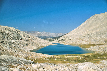
Guitar Lake - Sequoia National Park 26 Aug 1981
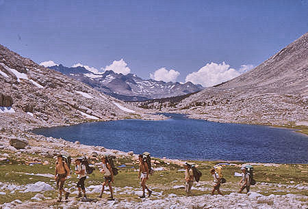
Explorer Post 360 passing Guitar Lake - 20 Aug 1965
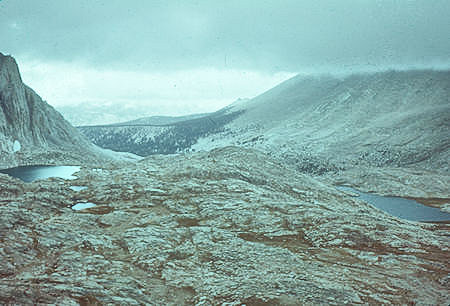
Looking back from Mount Whitney Trail - 03 Sep 1960
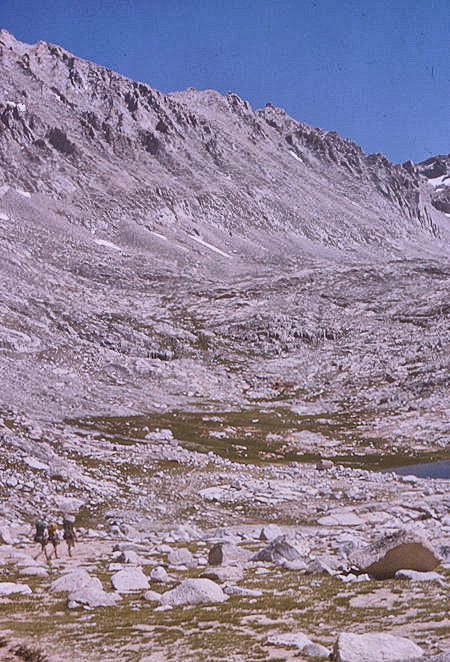
On the trail to Trail Crest Pass - 20 Aug 1965
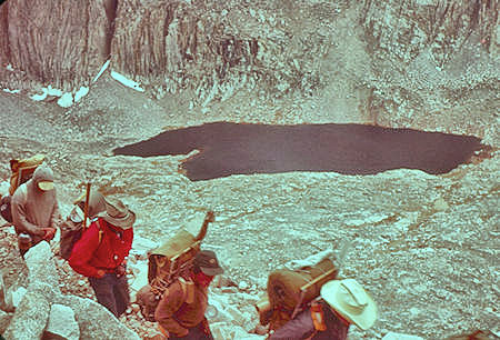
Hitchcock Lake from Mount Whitney Trail - 03 Sep 1960
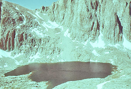
Hitchcock Lake from Mount Whitney Trail - 00 Jul 1957
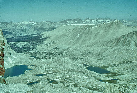
Hitchcock Lake (left), Guitar Lake (right)
from Mount Whitney Trail - 00 Jul 1957
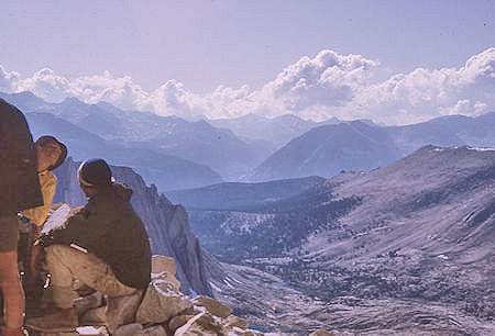
View from Trail Crest trail junction - 20 Aug 1965
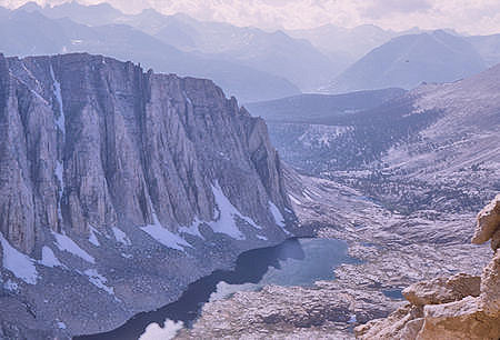
Mt. Hitchcock and Hitchcock Lake
from Trail Crest trail junction - 20 Aug 1965
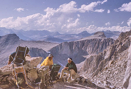
View north from Trail Crest trail junction - 20 Aug 1965
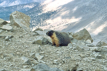
Marmot at Trail Crest trail junction
Sequoia National Park 26 Aug 1981
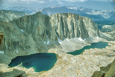
Mount Hitchcock and Lakes
Sequoia National Park 26 Aug 1981
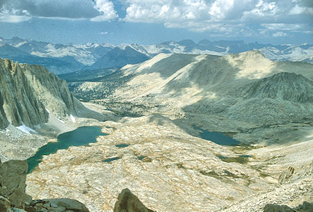
A Hitchcock Lake and Guitar Lake
Sequoia National Park 26 Aug 1981
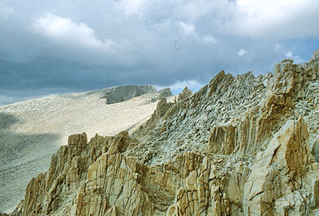
Route to summit of Mount Whitney
Sequoia National Park 26 Aug 1981
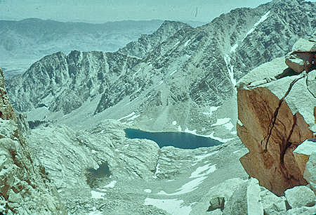
East side view of Consultation Lake
from Mount Whitney ridge trail - 24 Jul 1957
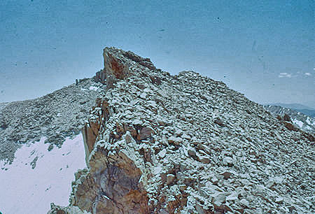
Mt. Muir from Mount Whitney Trail - 24 Jul 1957
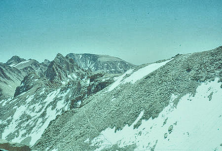
Pointy Mt. McAdie (left center), Mt. Langley (center rear),
Trail Crest and trail down east side
from Mount Whitney Trail - 24 Jul 1957
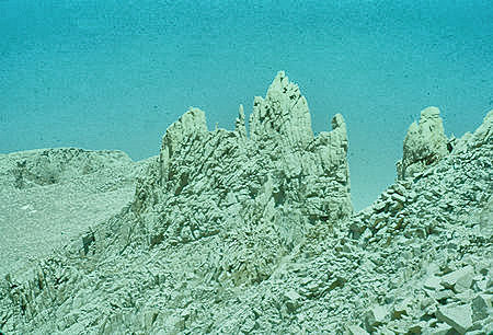
Pinnacles and top of Mount Whitney
from Mount Whitney Trail - 24 Jul 1957
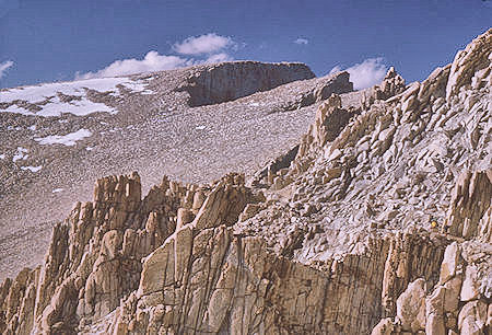
Mount Whitney summit from Mount Whitney Trail - 20 Aug 1965
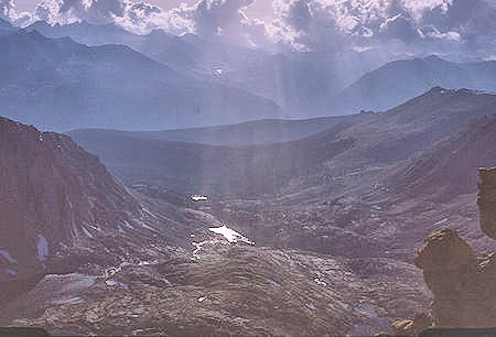
View west from Mount Whitney Trail - 20 Aug 1965
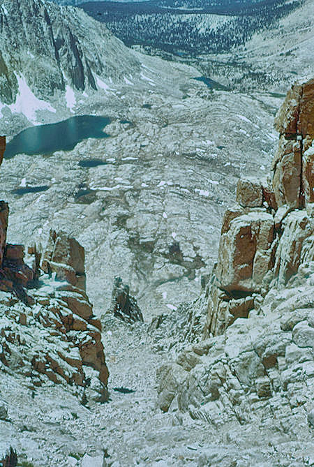
Hitchcock Lake view down west side
of Mount Whitney Trail - 24 Jul 1957
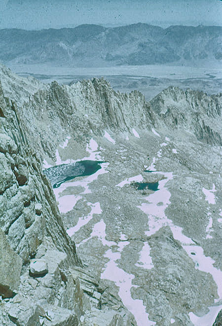
View east toward Owens Valley, Iceberg Lake
from Mount Whitney Trail - 24 Jul 1957
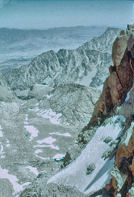
View down east side from Mount Whitney - 24 Jul 1957
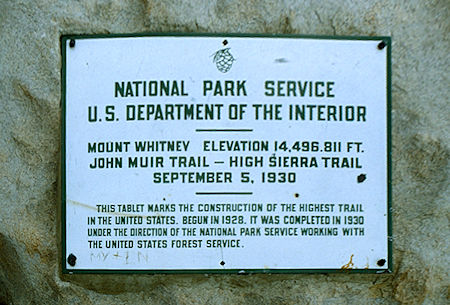
Plague on top of Mount Whitney
Sequoia National Park 26 Aug 1981
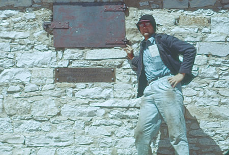
Mountain Mouse at Smithsonian Hut on top of Mount Whitney
built in 1909 - 24 Jul 1957
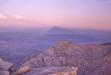
Shadow of Mount Whitney on dessert at sunset - 20 Aug 1965
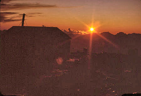
Smithsonian Hut and sunset on top
of Mount Whitney - 20 Aug 1965
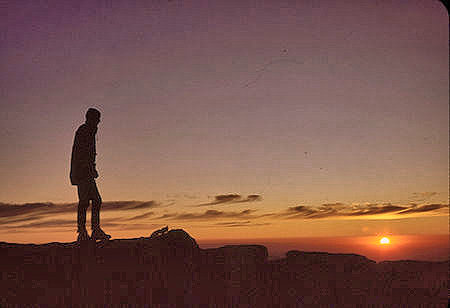
Explorer Post 360 member admiring sunrise on top
of Mount Whtiney - 21 Aug 1965
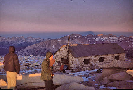
Sunrise on Mount Whitney - Explorer Post 360
Smithsonian Hut - 21 Aug 1965
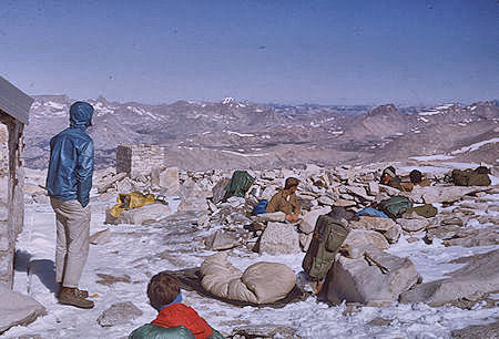
Morning after sleeping on top of Mount Whitney
Explorer Post 360 - 21 Aug 1965
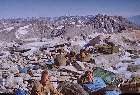
Morning after sleeping on top of Mount Whitney
Explorer Post 360 - 21 Aug 196
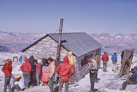
Explorer Post 360 at Smithsonian Hut on top
of Mount Whitney - 21 Aug 1965
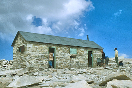
Smithsonian Cabin on summit of Mount Whitney
Sequoia National Park 26 Aug 1981
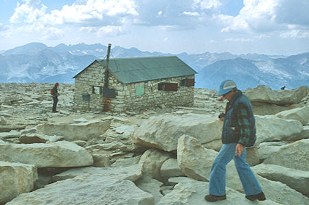
Smithsonian Cabin on summit of Mount Whitney
Sequoia National Park 26 Aug 1981
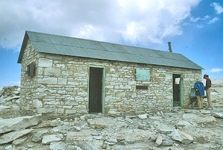
Smithsonian Cabin on summit of Mount Whitney
Sequoia National Park 26 Aug 1981
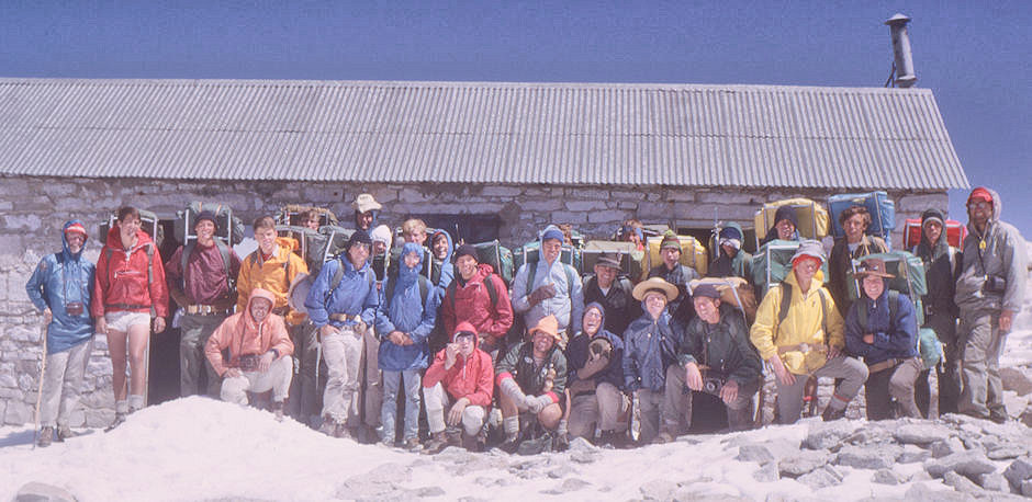
Explorer Post 360 in front of Smithsonian Hut on top of Mount Whitney - 21 Aug 1965

Panoramic view from top of Mount Whitney - 24 Jul 1957
Starting on the left is the Owens Valley with the Inyo Mountains in the haze, the first peak is Lone Pine Peak, then Mt. Langley with the slope to its right and pointy Mt. McAdie to its right, Whitney Pass and Trail Crest to the right of Mt. McAdie, Olancha Peak in the distance, along the crest are Mt. Muir and Keeler Needle, massive Mt. Hitchcock with to its right Mt. Young, the Kern Canyon is evident next, behind the Smithsonian Hut is Mt. Kaweah (next to smoke stack) and the Kaweah Range to its right, then the Great Western Divide with Triple Divide Peak, Milestone Mountain, Table Mountain and the upper reaches of the Kern Canyon.
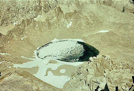
Iceberg Lake below the east face of
Mount Whitney - 24 Jul 1957
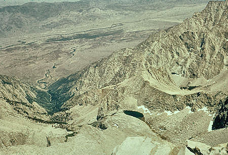
Town of Lone Pine in the trees, Lone Pine Creek from top of
Mount Whitney - 24 Jul 1957
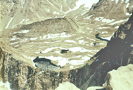
Lakes below top of Mount Whitney - 24 Jul 1957
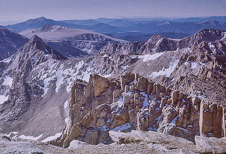
Mt. McAdie (left), Whitney Pass and Trail Crest, Keeler Needle
from top of Mount Whitney - 21 Aug 1965
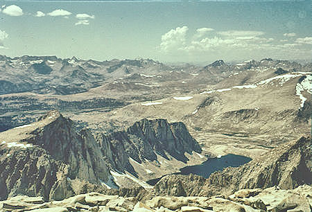
Mt. Hale and Wales Lake from top of
Mount Whitney - 24 Jul 1957
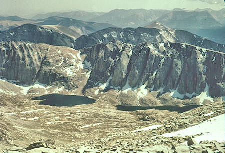
Hitchcock Lakes and Mt. Hitchcock from top of
Mount Whitney - 24 Jul 1957
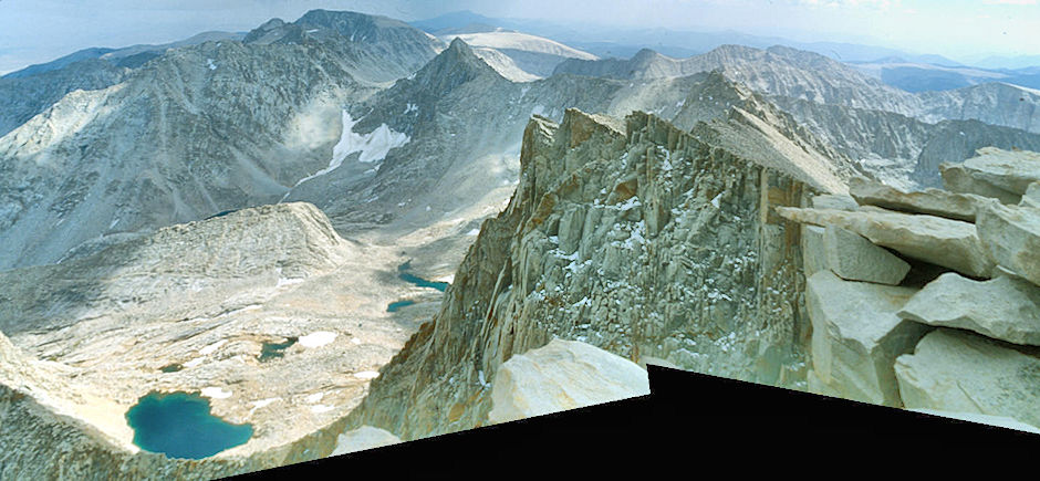
South from Mount Whitney, Whitney Pass, Discovery Pinnacle - John Muir Wilderness 26 Aug 1981
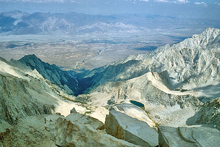
Lone Pine Creek, Owens Valley from Mount Whitney
John Muir Wilderness 26 Aug 1981
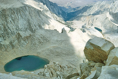
Iceberg Lake (left), Consultation Lake (right), Lone Pine Creek
from Mount Whitney - John Muir Wilderness 26 Aug 1981
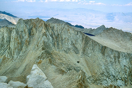
Mount Russell, Tulainyo Lake, Mount Carillion from
Mount Whitney - John Muir Wilderness 26 Aug 1981
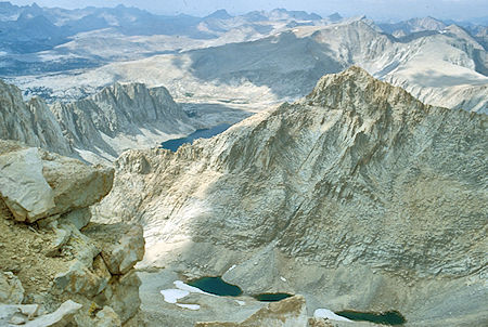
Wales Lake, Artic Basin from Mount Whitney
Sequoia National Park 26 Aug 1981
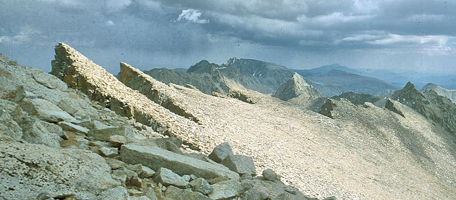
Whitney Crest, Mt. Muir, Discovery Pinnacle - Sequoia National Park 26 Aug 1981
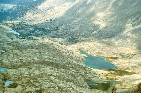
Guitar Lake (right), Timberline Lake (left rear)
Sequoia National Park 26 Aug 1981
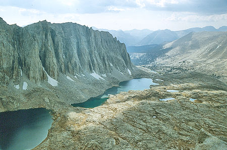
Mount Hitchcock, Hitchcock Lakes
Sequoia National Park 26 Aug 1981
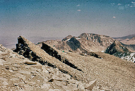
Jagged crest south of Mount Whitney, Mt. Langley,
Mt. McAdie - 24 Jul 1957
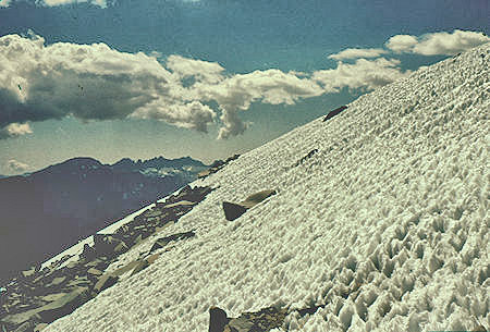
Snow adjacent to the trail down east side of Mount Whitney
from Trail Crest - 24 Jul 1957
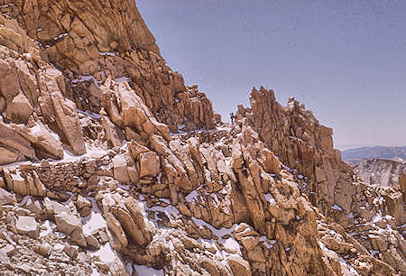
Trail down east side of Mount Whitney
from Trail Crest - 21 Aug 1965
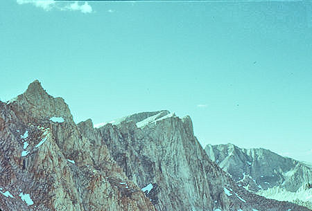
Mt. Muir, Keeler Needle, Mount Whitney summit
from trail descending from Trail Crest - 24 Jul 1957
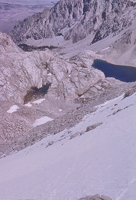
Descending to Consultation Lake on Mount Whitney Trail
from Trail Crest - 21 Aug 1965
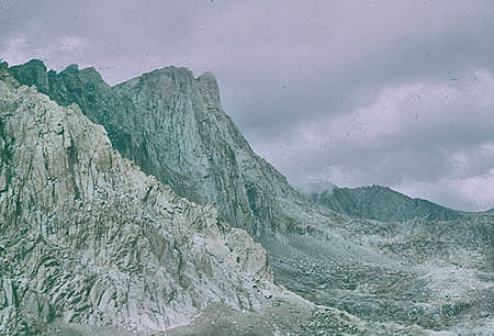
Mount Whitney east face from trail down to
Consultation Lake - 03 Sep 1960
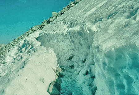
Snow on trail down east side of Mount Whitney
from Trail Crest - 24 Jul 1957
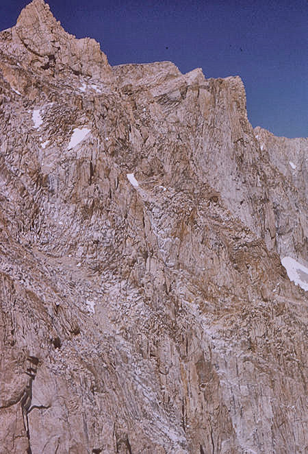
Mount Whitney east face from trail down to
Consultation Lake - 21 Aug 1965
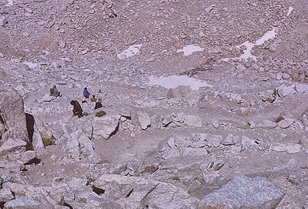
Looking down on switchbacks on trail down east side of
Mount Whitney - 21 Aug 1965
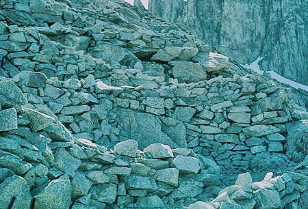
Switchbacks on trail down east side of
Mount Whitney - 24 Jul 1957
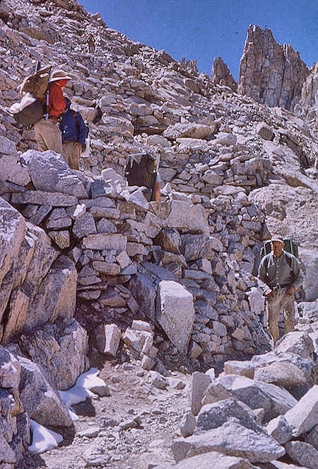
Switchbacks on trail down east side of
Mount Whitney - 21 Aug 1965
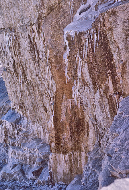
Ice on the trail down from Trail Crest - 21 Aug 1965
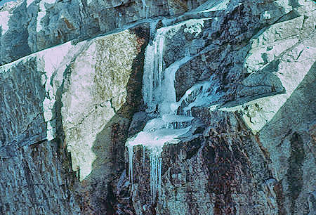
Ice on the trail down from Trail Crest - 24 Jul 1957
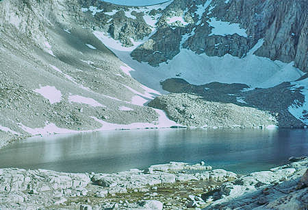
Arc Pass, Consultation Lake from
Mount Whitney Trail - 24 Jul 1957
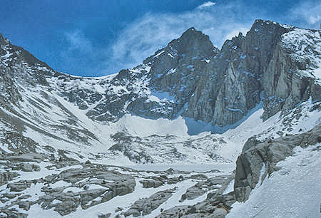
Arc Pass, Mt. McAdie, frozen Consultaion Lake from
Mount Whitney Trail - 30 Apr 1977
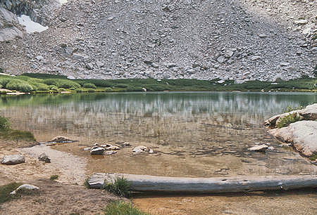
Mirror Lake on Mount Whitney Trail - 27 Jul 1975
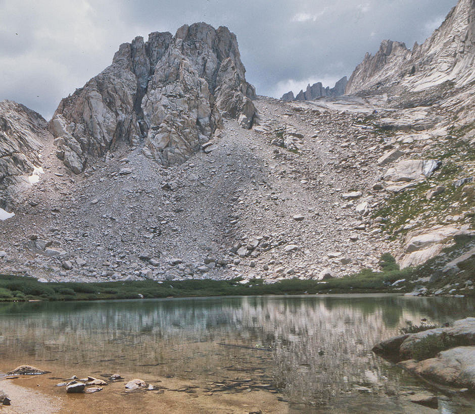
Thor Peak over Mirror Lake on Mount Whitney Trail - 24 Jul 1975
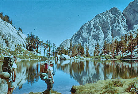
Mirror Lake on Mount Whitney Trail - 00 Sep 1961
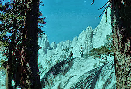
Mount Whitney from trail below Mirror Lake - 02 Sep 1961
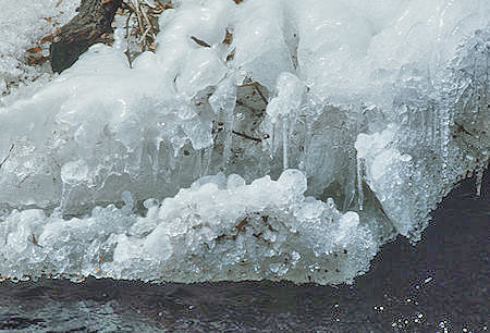
Ice on Lone Pine Creek - 30 Apr 1977
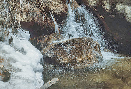
Ice on Lone Pine Creek - 30 Apr 1977
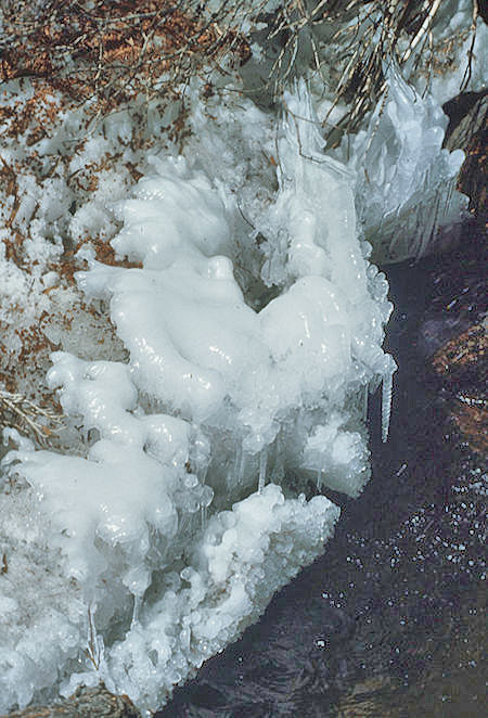
Ice on Lone Pine Creek - 30 Apr 1977
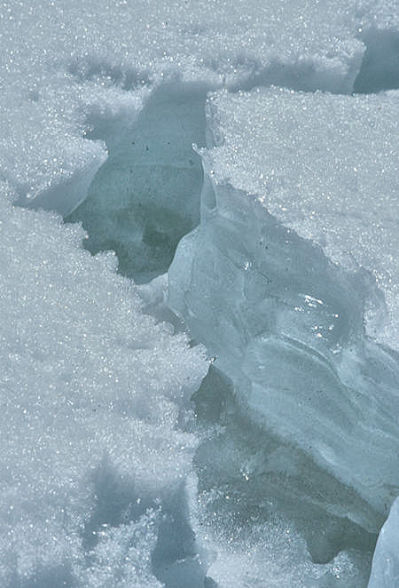
Snow on Lone Pine Creek - 30 Apr 1977
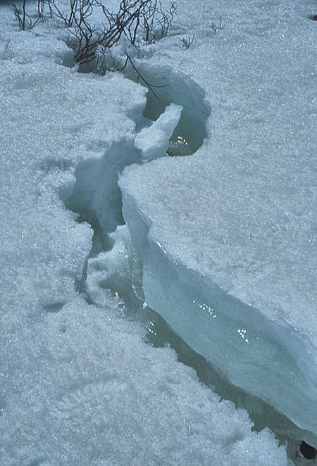
Snow on Lone Pine Creek - 30 Apr 1977
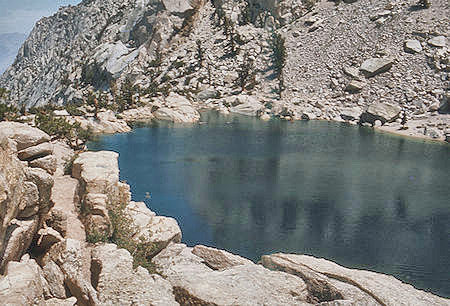
Lone Pine Lake on Mount Whitney Trail - 27 Jul 1975
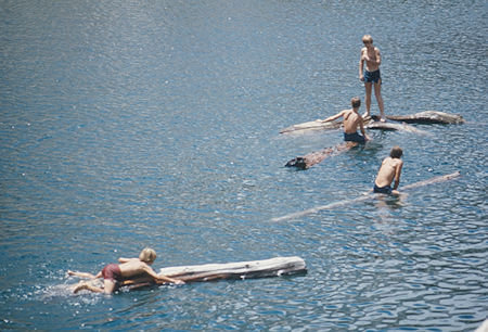
'Navy' on Lone Pine Lake on Mount Whitney Trail - 27 Jul 1975
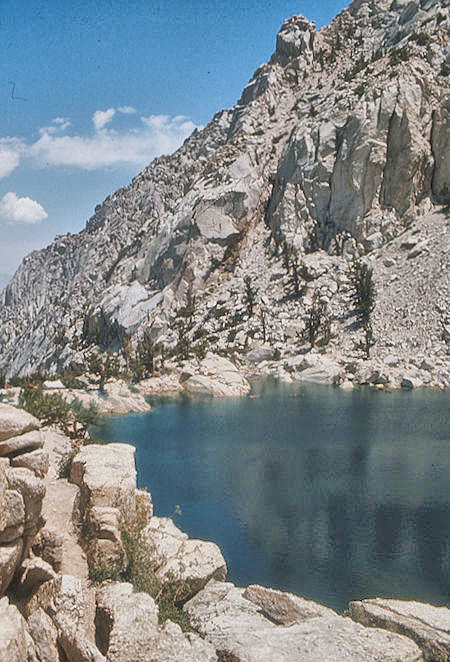
Lone Pine Lake on Mount Whitney Trail - 27 Jul 1975
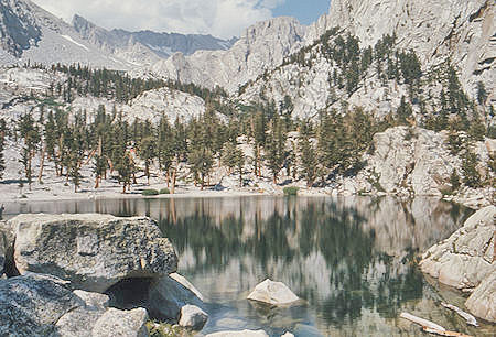
Lone Pine Lake on Mount Whitney Trail - 27 Jul 1975
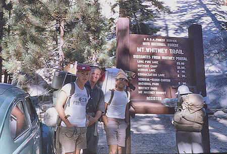
Whitney Portal trailhead - 01 Sep 1962
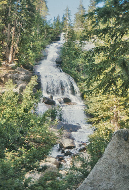
Lone Pine Creek cascade at Whitney Portal - 27 Jul 1975
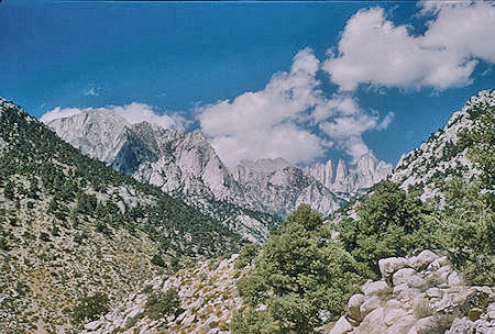
Looking back at Mount Whitney on way home - 26 Jul 1957

Looking back at Mount Whitney on way home - 26 Jul 1957
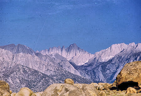
Sunrise on Mount Whitney from
Alabama Hills, Lone Pine - 30 May 1968
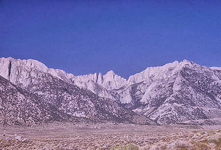
Mount Whitney from Lone Pine Road - 00 Aug 1965
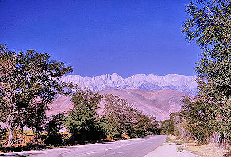
Mount Whitney from Lone Pine - 00 Aug 1965
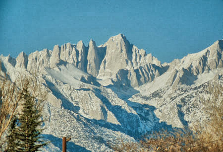
Mount Whitney from Lone Pine - 23 Nov 1972