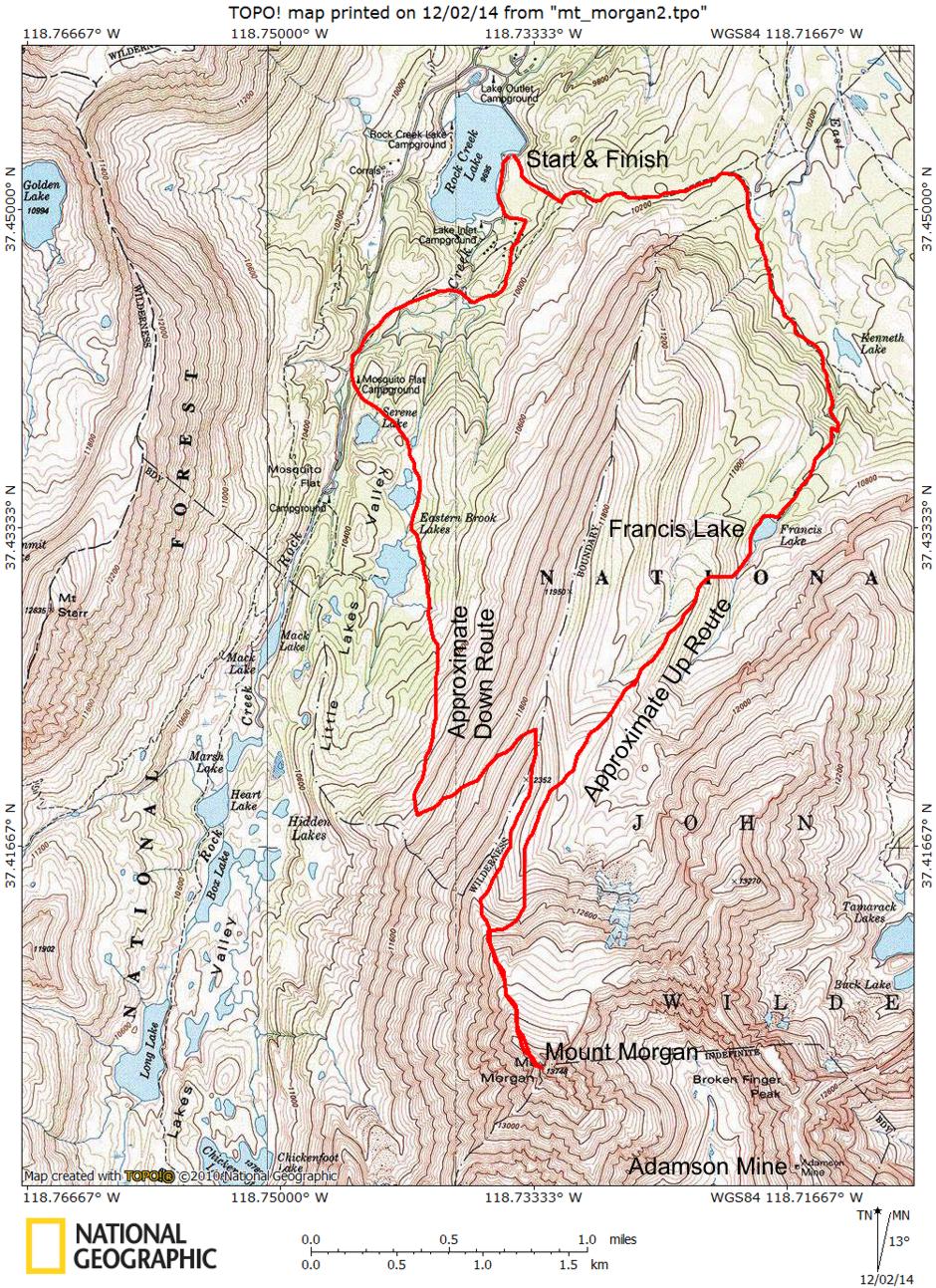
On September 24-25, 1977 I carried my pack to the top of 13,748' Mount Morgan and spent the night. The round trip was about 10 miles.
The mountain was named in 1878 by the Wheeler Survey for one of its members, J. H. Morgan, of Alabama. It is the 31st highest peak in California.
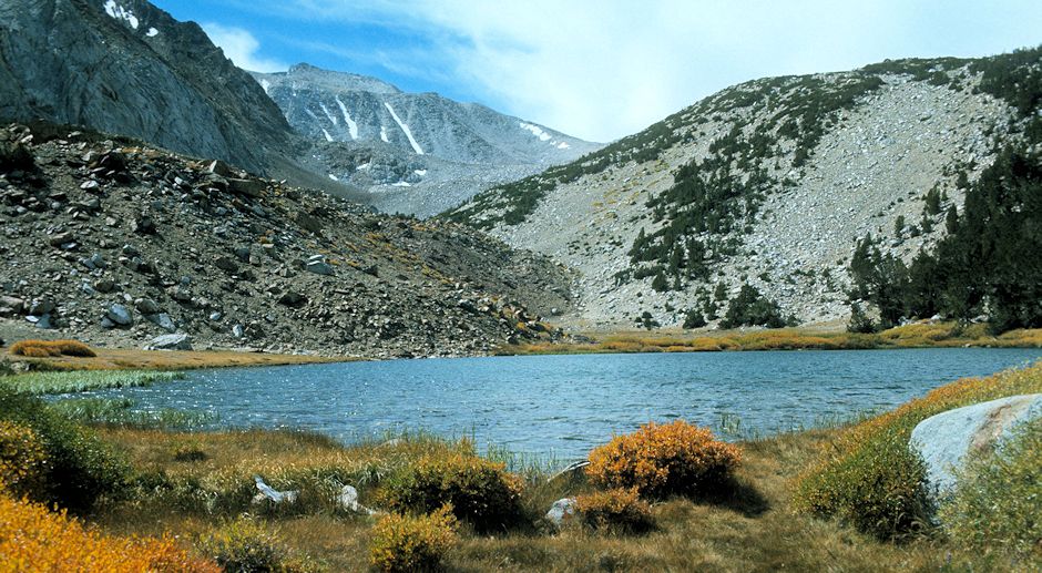
View over Francis Lake to Mount Morgan.
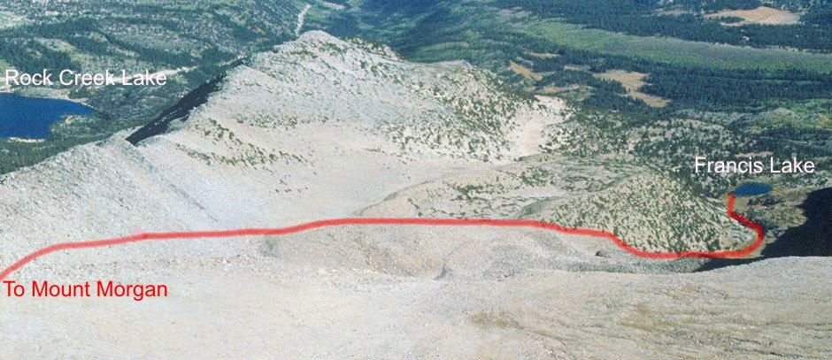
Climbing route from Francis Lake - The best climbing route is to proceed up the Francis Lake inlet creek and then climb right onto the low ridge as described in this 2011 trip report and then follow that ridge. As described in the trip report you can then climb to the small saddle on the main ridge and follow the back side of that ridge and then the slope to the top or follow the red line on the picture to the upper slope and the top. The last picture in the slide show shows the final approach to the peak.
I hit the trail at Rock Creek Lake about 9 a.m. and hiked the trail to Francis Lake, arriving about 11 a.m. After some lunch I headed with pack for the top of Mount Morgan with plans to camp on top or along the way depending on what the weather did.
The weather stayed nice and I made the top about 4 p.m. After taking photos I made camp in a small saddle about 50 feet below the summit. The weather was essentially warm with a light breeze. As soon as the sun went down in cooled off so I hit the sack after supper - a rather long night.
In the morning I waited for the sun to climb over the mountain and got up around 8:30 a.m. After breakfast and some more pictures, I packed up and followed the ridge down until I could drop over toward the Little Lakes Basin.
I reached a spring at the southern Eastern Brook Lake about noon and took a rest and ate lunch before heading on down the valley to the car at Rock Creek Lake which I reached just after 2 p.m. A good relaxing weekend with great views from the peak.

Afternoon view from top of Mount Morgan. Scroll right to see the ridge I followed down from the top until I found a good spot to drop down into Little Lakes Valley
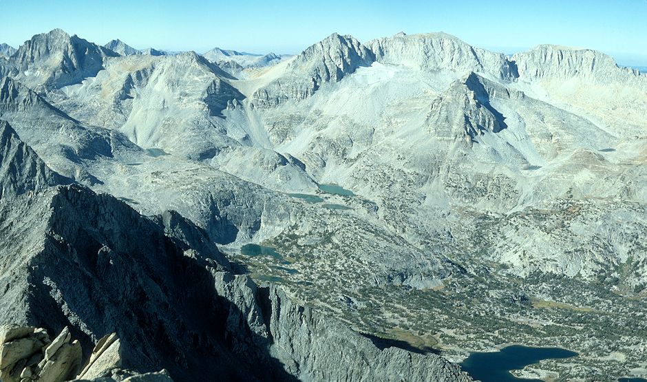
Morning view from top of Mount Morgan - Bear Creek Sphire, Peak 13268, Mt Dade, Mt Abbot and Mt Mills on the skyline. In front of Mt Abbot is Treasure Peak with the Treasure Lakes below. Chickenfoot Lake at the bottom of the picture

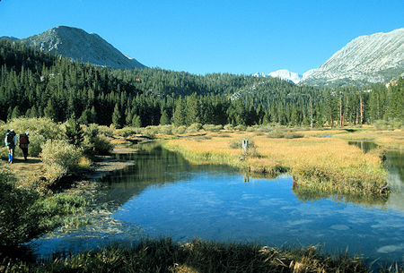
Rock Creek Trail
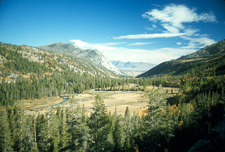
Looking back from the trail
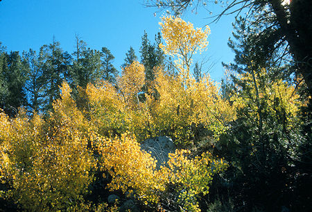
Aspens in fall color
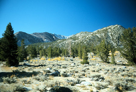
View toward Mount Morgan in the distance
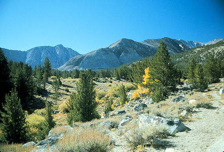
Scenery on the way to Kenneth Lake
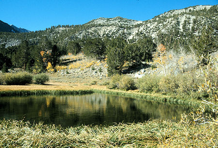
Scenery on the way to Kenneth Lake
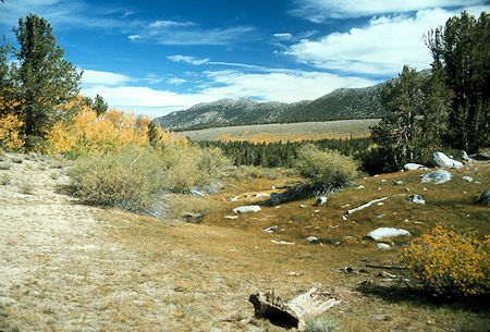
Scenery on the way to Kenneth Lake
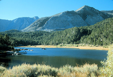
Kenneth Lake
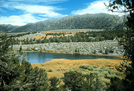
Kenneth Lake
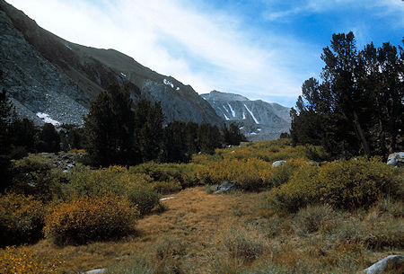
Approach to Francis Lake - Mount Morgan in distance
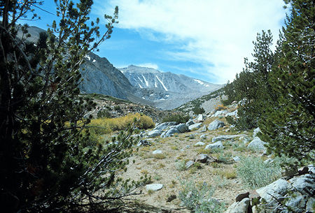
Nearing Francis Lake - Mount Morgan on the skyline
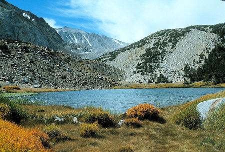
Francis Lake and Mount Morgan
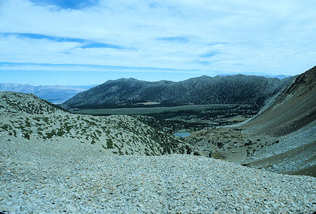
Francis Lake and the Wheeler Crest from Mount Morgan route. The route proceeds from Francis Lake up its inlet stream and then climbs the slope on the left
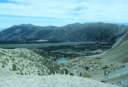
Francis Lake and the Wheeler Crest from Mount Morgan route. The route proceeds from Francis Lake up its inlet stream and then climbs the slope on the left
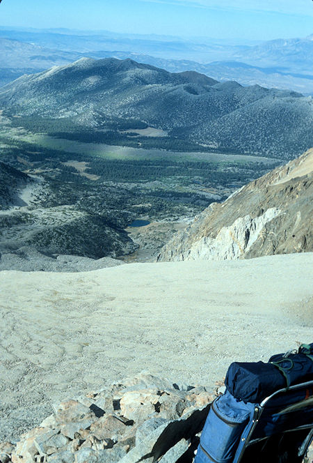
This provides a good view of the Francis Lake inlet stream and the slope on the left
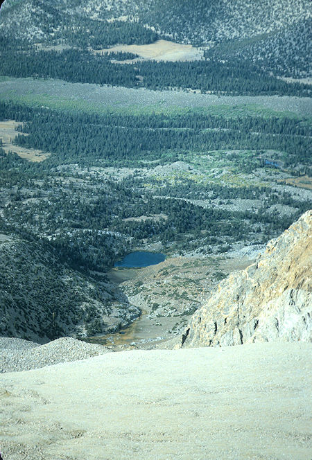
This provides a good view of the Francis Lake inlet stream and the slope on the left
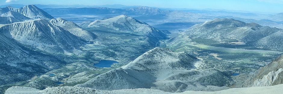
Looking down the ridge from top of Mount Morgan. Rock Creek Lake is on the left. Francis Lake is on the right. Wheeler Ridge on the far right; Francis Lake and the ridge route to Mount Morgan. You want to get up on the low ridge to avoid difficult/tiresome rocks in the gully. The climbing route comes up onto the small low ridge in the lower right. You can proceed up to the top of the main ridge at the little saddle, then along the backside of the ridge to the slope leading to the top; or proceed along the near side of the main ridge to the slope leading to the top. The best climbing route is described in this 2011 trip report.
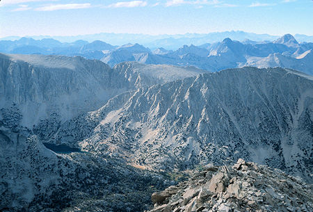
From the ridge leading to Mount Morgan, looking across Rock Creek at Mt. Starr at the right and Ruby Lake at the left. The trail to Mono Pass goes up the slope on the right of Ruby Lake and around the corner to the pass
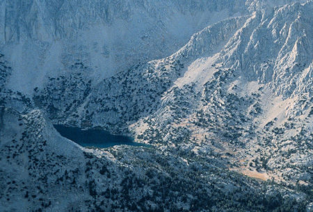
Close up of Ruby Lake and the route to Mono Pass
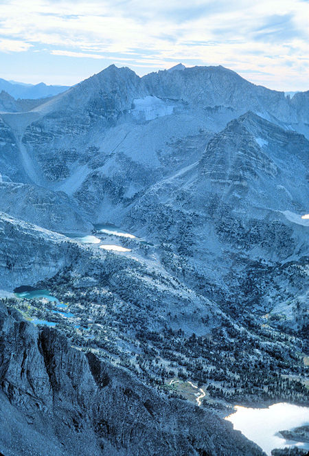
Late afternoon view of Mt Dade, Mt Abbot on the skyline. Treasure Peak in front with the Treasure Lakes below left. Chickenfoot Lake at the bottom
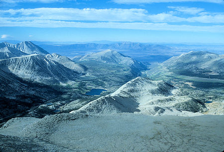
Rock Creek and Rock Creek Lake on the left, Francis Lake on the far right and the route up the ridges to the slope of Mount Morgan
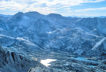
Late afternoon view of Mt Dade, Mt Abbot and Mt Mills on the skyline. Treasure Peak in front with the Treasure Lakes below left. Chickenfoot Lake lower center; Long Lake lower right
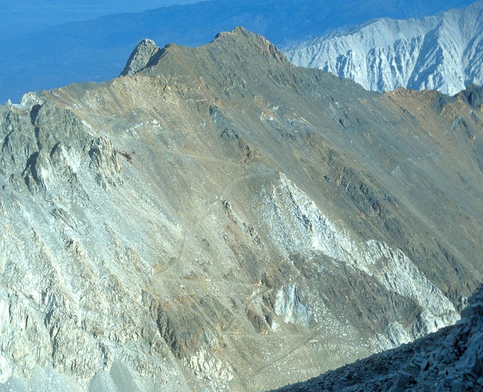
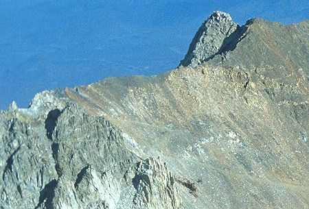
From the top of Mount Morgan you can see the Adamson Tungsten Mine. Note the road switchbacking up the mountain to the mine. The ridge top workings can be seen in the upper left of this picture. See the Adamson Mine/Morgan Pass trip for more information and pictures. This area provides an alternate route for climbing Mount Morgan.
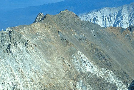
Adamson Mine on the ridge as viewed from the top of Mount Morgan. Note the road switchbacking up to the mine
The ridge top workings of the Adamson Mine at the left end of the ridge. At the lower center are the remains of a loading system that was the top of a tramway to the valley below
Mount Morgan from Adamson Mine
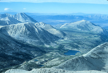
Rock Creek Lake from the top of Mount Morgan, late afternoon
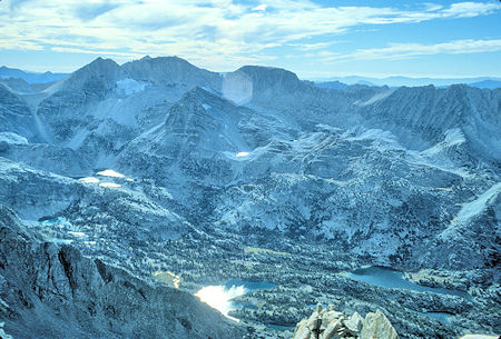
From the top of Mount Morgan in late afternoon, Mt Dade, Mt Abbot, Mt Mills on the skyline; Treasure Peak in front with Treasure Lakes below left; Chickenfoot Lake lower center; Long Lake lower right
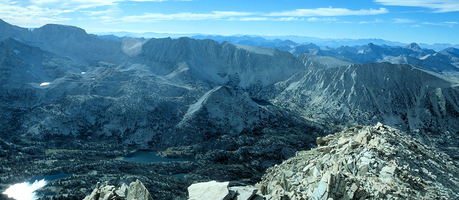
From the top of Mount Morgan in late afternoon, Mt Mills on the skyline; Ruby Lake and Mt Starr on the right; Chickenfoot Lake lower left; Long Lake lower center
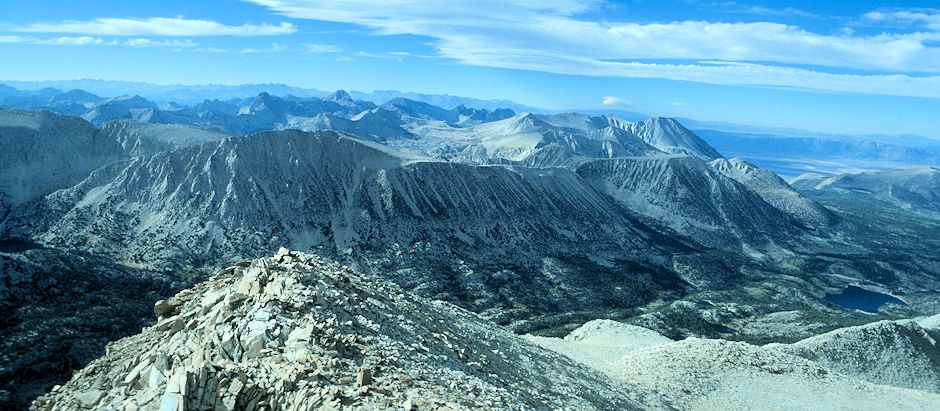
From the top of Mount Morgan in late afternoon, looking down the slope and ridge to Rock Creek Lake, Ruby Lake on the left with Mt Starr
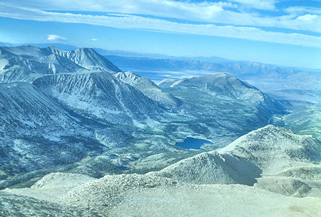
From top of Mount Morgan in late afternoon, looking across the ridge at Rock Creek and Rock Creek Lake
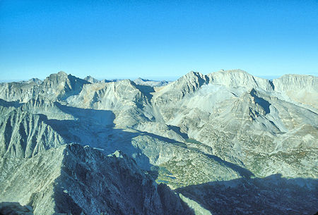
From top of Mount Morgan with early morning shadows, Bear Creek Sphire, Peak 13268, Mt Dade, Mt Abbot and Mt Mills on the skyline. Treasure Peak in front of Mt Abbot with Treasure Lakes below left
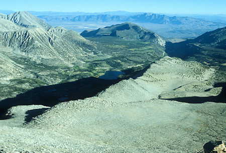
From the top of Mount Morgan with early morning shadows looking down across the main ridge to Rock Creek Lake
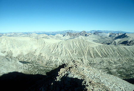
From the top of Mount Morgan with early morning shadows, looking at Mt Starr with Ruby Lake at the left
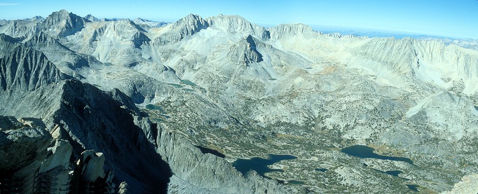
From top of Mount Morgan, morning view of Bear Creek Sphire, Peak 13268, Mt Dade, Mt Abbot, Mt Mills on the skyline. Treasure Peak in front of Mt Abbot with Treasure Lakes below left. Chickenfoot Lake and Long Lake at the bottom
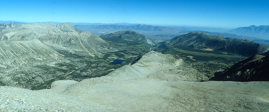
From the top of Mount Morgan looking across the main ridge into Rock Creek and Rock Creek Lake with Wheeler Crest and Francis Lake on the right
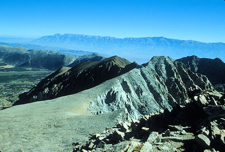
From the top of Mount Morgan, swinging to the right looking over rugged ridge to the White Mountains on the skyline
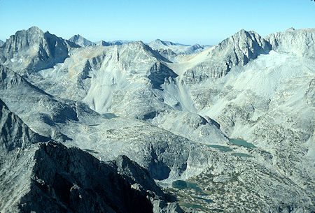
From the top of Mount Morgan, final views of Bear Creek Sphire, Peak 13268, Mt Dade and part of Mt Abbot. Treasure Peak is just out of the picture on the right with the Treasure Lakes below
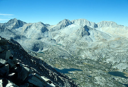
From Mount Morgan ridge on the way down, Bear Creek Sphire, Peak 13268, Mt Dade, Mt Abbot, Mt Mills on the skyline, Treasure Peak in front of Mt Abbot with Treasure Lakes below left. Chickenfoot Lake and Long Lake at the bottom
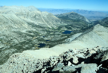
From Mount Morgan ridge on the way down. Looking over the main ridge into Rock Creek with Rock Creek Lake to the right. I eventually descended to Eastern Brook Lakes just left of center
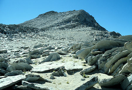
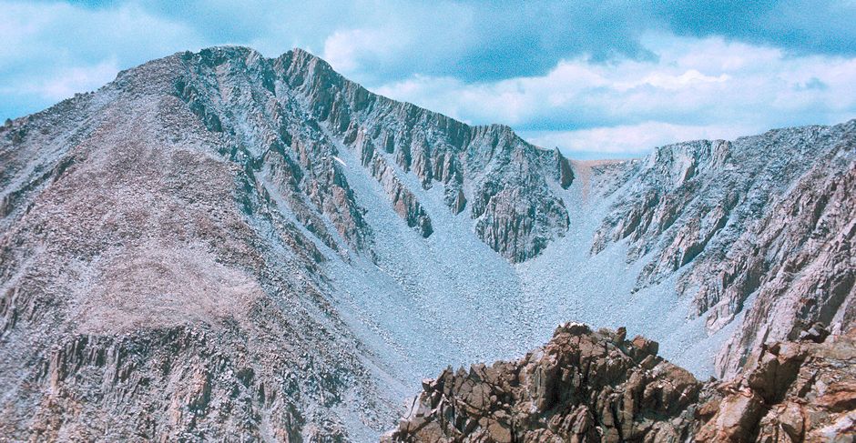
Looking back up the slope to Mount Morgan on the way down