On July 16-17, 1977 Mic Mead and Rob Parker drove up from San Diego to my apartment in Lone Pine and we headed in the John Muir Wilderness for Morgan Pass (on Rock Creek) and the Adamson Mine at 12,800 feet in the Morgan Creek drainage above the Union Carbide Pine Creek Tungsten Mine.
We left Lone Pine at 6 a.m. and hit the trail on Rock Creek about 8 a.m. This was Rob's first backpack and he had a new pack which required some adjusting. He did well as we took a leisurely hike to Morgan Pass, then down to Lower Morgan Lake where we ate lunch.
Rob caught a fish while Mic and I explored the area. Mic located a nearby small lake with much nicer camping so we moved there. The lake had no fish in it, but did have snakes to Rob's delight. We got a little rain around 4:30 p.m. but it soon went away. After supper we hiked down a short distance to a lower lake - also no fish. We enjoyed a starlit night.
Got up about 6:30 a.m. and after drying the dew off our gear got packed up and moved back over to lower Morgan Lake about 9 a.m. Rob went fishing as he worked his way back to the car. Mic and I headed for the North Fork of Morgan Creek and the Union Carbide digging's.
They had bulldozed down the old barracks, etc. that had been there on a previous 1967 winter snowshoe trip. We explored several tunnel entrances - two were ventilation for the mine, others were for large truck access, etc. The old Adamson Mine tram is virtually wiped out by avalanches. We hiked to the spring - the upper end of the old pipeline - and had lunch.
We decided not to climb Mt. Morgan due to time and energy. Instead we headed up the tractor road to the Adamson Mine at 12800' on top of a ridge. Great views.
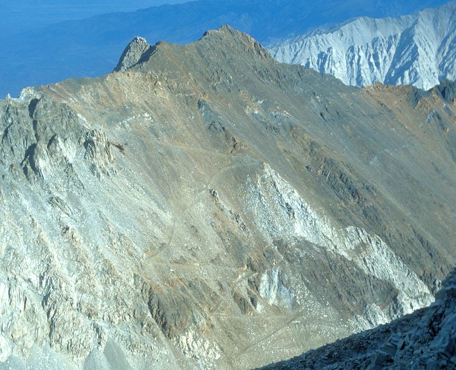
Adamson Mine from top of Mount Morgan. The mine is at the left edge of the picture on the ridge. Note the road climbing the slope to the mine.
Discovered in 1939. First production was in 1942. Workings include surface and underground openings comprised of a 1,300 foot main adit and 1,600 feet of level workings plus some open cuts. Production statistics: Year: 1943 (period = 1942-1943): 41,000 tons of ore. Year: 1957 (period = 1954-1957): 68,400 tons of ore. Tungsten ore mined after 1959 was included with that from the Pine Creek Mine.
This Story of the Pine Creek Tungsten Mine provides a lot of history and pictures.
At 3 p.m. we headed down to camp, picked up our packs about 5 p.m. and headed for the car which we made about 7:15 p.m. where Rob was waiting. It was a nice trip even though there is much evidence of mining, etc.
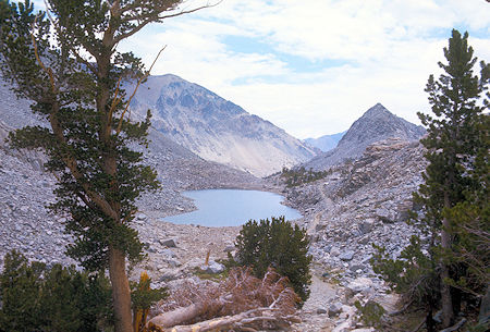
Upper Morgan lake, below Morgan Pass - 1977
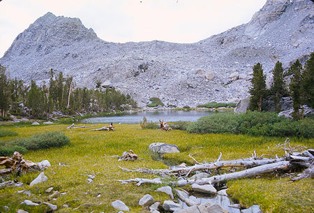
Unnamed Morgan Lake - 1977
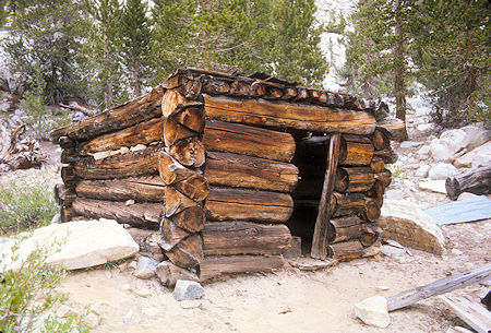
Cabin at Lower Morgan Lake - 1977
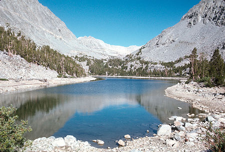
Lower Morgan Lake - 1977
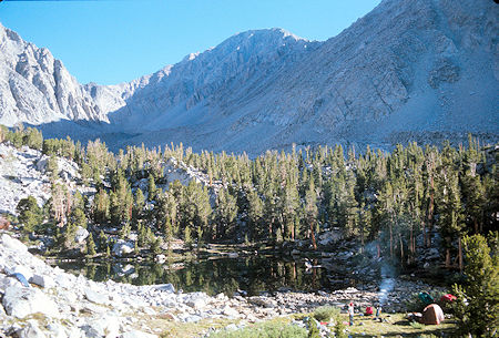
Camp at small lake below Lower Morgan Lake - 1977
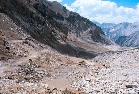
North Fork of Morgan Creek and remains of lower mines - 1977
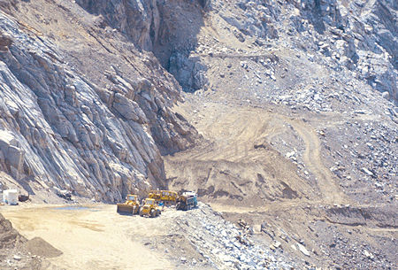
Union Carbide Pine Creek Mine upper work areas. Includes ventilation openings and large truck vehicle entry portals to haul material in for back-filling tunnels - 1977
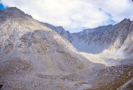
South Side of Mount Morgan from Adamson Mine road - 1977
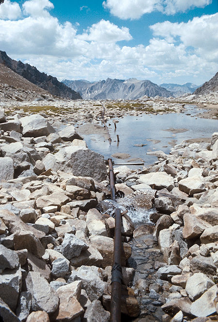
Headwaters of North Fork of Morgan Creek and water pipeline - 1977
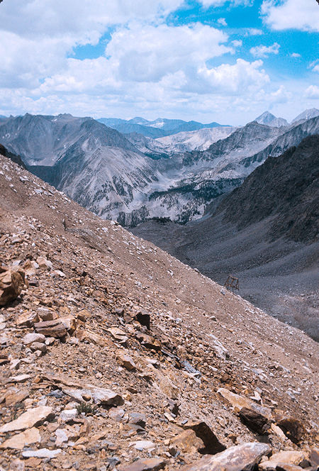
Pine Creek Pass from near Adamson Mine - 1977
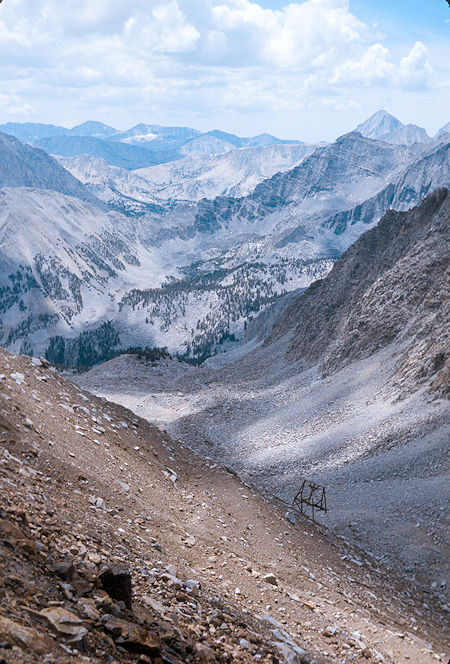
Pine Creek Pass from near Adamson Mine - 1977
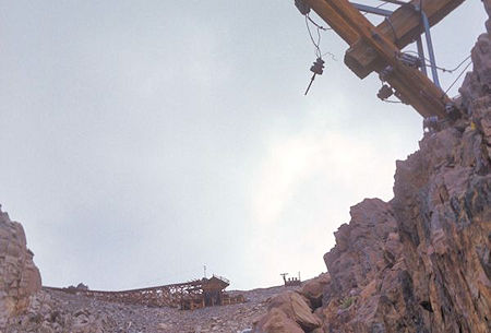
Fallen electric power pole below Adamson Mine Tramway - 1977
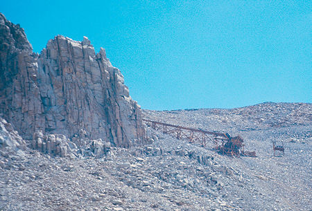
Adamson Mine Tramway - 1977
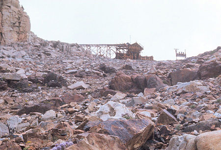
Adamson Mine Tramway. The poles to the right were for electric power - 1977
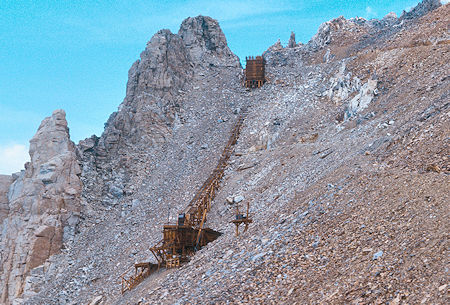
Adamson Mine Tramway from mine road - 1977
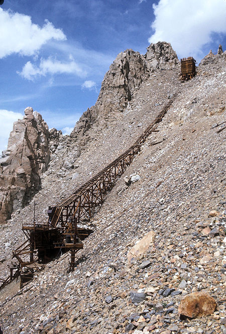
Adamson Mine Tramway from mine road - 1977
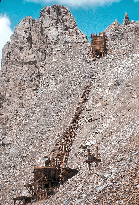
Adamson Mine Tramway from mine road - 1977
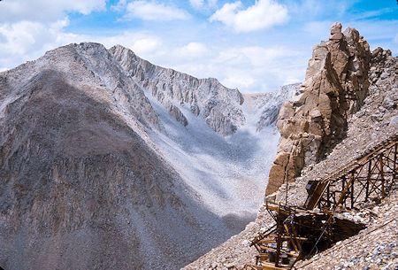
Mount Morgan from Adamson Mine road - 1977
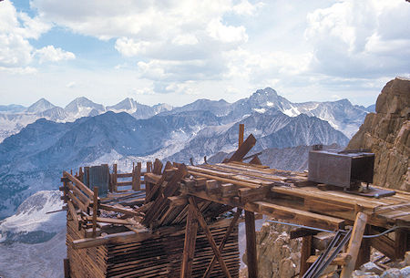
Adamson Mine Tramway - 1977
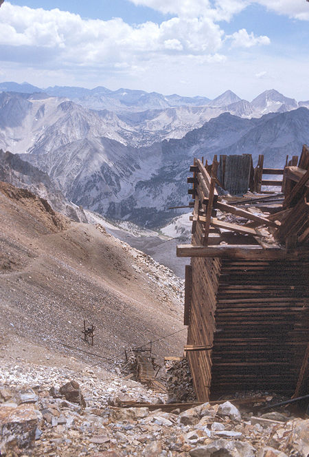
Adamson Mine Tramway and Pine Creek Pass - 1977
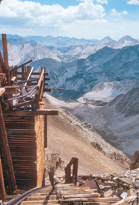
Adamson Mine Tramway and Pine Creek Pass - 1977
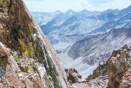
View down Morgan Creek from Adamson Mine workings on the left - 1977
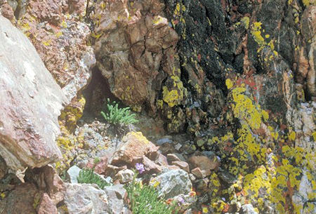
Adamson Mine - 1977
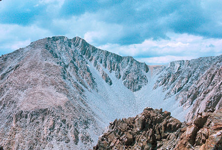
Mount Morgan from Adamson Mine - 1977

Crest west of Adamson Mine - 1977