wshawkins states: "I'm only scratching the surface on the Pine Creek Tungsten Mine. The book, "Mine in the Sky" by Joseph M. Kurtak will give you the full story if you like to read more." The now out-of-print book is available via Amazon.com.
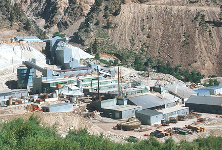
Union Carbide Pine Creek Mine Mill - 1975
Prospectors located mining claims along Pine Creek high up in the rugged Sierra Nevada west of Bishop in 1895, but the gold and silver content of the assayed rock proved too disappointing.
The ground lay dormant until 1916, when Billie Vaughn and Arch Beauregard discovered outcrops with molybdenum and the tungsten-bearing mineral scheelite while prospecting near the headwaters of Pine Creek.
Vaughn and Beauregard filed on claims situated at an elevation of 11,300 feet above sea level, and with two other partners extended the 7-mile-long trail from Round Valley for another three miles.
Pack mules transported equipment and supplies up the steep 3,000-foot slope, including a concentrating table that had to be cut up into sections.
The claims were worked during and shortly after World War I to produce scheelite concentrates, which were packed down the trail on mule back.
Tungsten extracted from the scheelite was used to make durable steel alloys, and thus was in high demand during wartime.
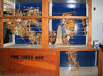
The Pine Creek Mine model shows the extensive tunnel and shaft system. The model of the 1,250 foot high (without the antenna spire) Empire State Building shows how deep some of the shafts are.
Because of this demand, tungsten increased in value fivefold from that of the pre-war years. The partners soon realized that they did not have the financial means to develop the deposit on a large enough scale to make mining profitable, and by January 1918 had struck a deal with a new partner who obtained the needed capital.
New trails and roads were built, power lines and pipelines were constructed, and mine timbers were cut using an electric-powered sawmill that was packed in on mules.
Upon completion of the Rock Creek wagon road, which used part of the old Sherwin toll road, machinery for the mines and a mill was transported from the railroad station at Laws, a distance of 50 miles by the new wagon road.
The mill went into operation in December 1918 but was forced to close two months later due to plummeting tungsten prices.
The Natural Soda Products Company purchased the Pine Creek Mine in 1922 and then reorganized as the Tungsten Products Company. Tungsten prices had risen somewhat since the 1919 crash, and the company moved ahead with improvements.
In 1924, an adit was driven that shortened the distance from the mine to the mill, improving winter operations. Ore was hauled to the surface by mules pulling six-car trains and then transported to the mill via rail tram.
The Rock Creek road was abandoned due to the difficulty of keeping it open during winter, so most supplies were hauled to the mine by pack mules via the Pine Creek trail.
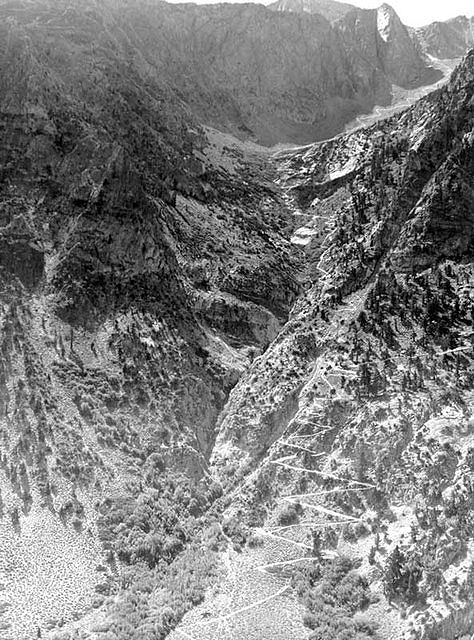
A wagon road was built to replace the rugged pack trail to the mine - 1918
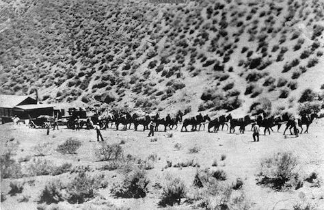
Mule team hauling machinery to the tungsten mine on Pine Creek - 1918
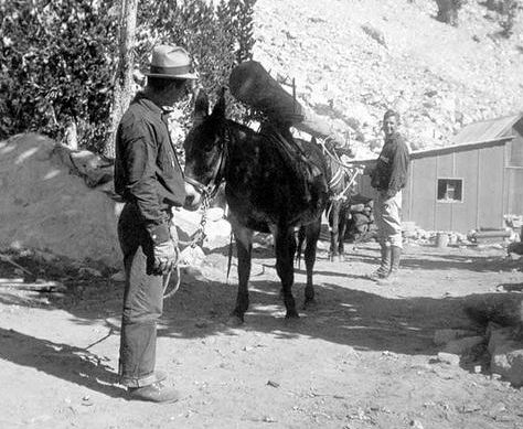
Hauling a 30-foot-long power pole using the two-mule swivel packsaddle system during reconstruction of the mine's power line in 1937. Swivel packsaddles allowed the animals to turn under the load while negotiating tight switchbacks on the trail
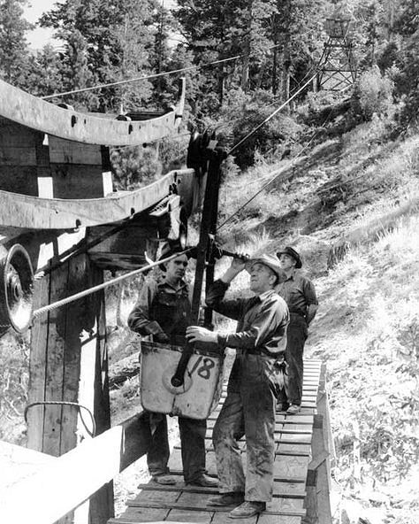
Workers at the lower tram house of the Tungsten Mill. Workers sometimes rode in the ore buckets to avoid the 4,500-foot climb to the mine. This dangerous practice proved fatal in one case - 1941
The concentrates carried down the trail on mule back were transported by road to the railroad station at Laws.
Although problems due to weather conditions persisted, optimism ran high; unfortunately, by 1928 the mine workings and mill were idle once again due to events related to the 1927 Watterson Bank failure.
The Pine Creek mine lay dormant until 1936, at which time the US Vanadium Corporation acquired the property and began developing it into a world-class producer of tungsten.
Transportation remained a challenge due to the remote location and harsh winter conditions. Horses and mules continued to be used to pack materials and supplies into the early 1940s.
George Brown, a Paiute Indian from Round Valley, was foremost among the packers of this era, carrying everything from drill rods and power poles to timbers, cable, and bull wheels for construction of a 2.5-mile-long tramway to the Tungstar Mine, situated at an elevation of 12,000 feet above sea level on the east face of Mt. Tom.
According to some accounts, construction of the tramway was the last big commercial/industrial packing job in the Eastern Sierra. Completed in December 1941, this tram was probably the last all-wood construction project of its kind in the United States.
The towers were built high enough for tram buckets to clear the large amounts of snow that accumulated in the winter. In addition to carrying ore, the tram was used to bring in supplies for snowbound employees and transport injured workers out of the mine.
After completion of the road over 11,000-foot Morgan Pass in 1939 and the tramway in 1941, the need for pack mules diminished.
Heavy duty Lynn half-trucks began making regular trips over the arduous Morgan Creek Road. When the road was choked with snow, bulldozers were used to pull sleds laden with supplies.
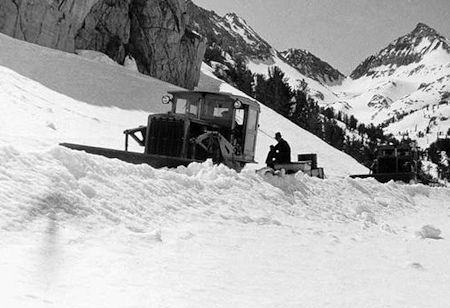
RD7 Caterpillar dozers pulling supply sleds over Morgan Pass in 1938
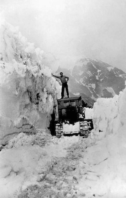
Clearing the snow-choked road over Morgan Pass in spring of 1938
to keep the Rock Creek Road open
During big snowstorms, the mine was cut off from the outside world for weeks at a time. At such times, Tex Cushion and his dog team made numerous trips to deliver mail and supplies and to respond to medical emergencies, sometimes during raging blizzards.
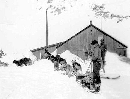
Tex Couchane (aka Cushion) and his dog team delivered supplies when no other means of transportation could reach the camp - 1937
In the years leading up to and during World War II, tungsten once again gained strategic importance. By 1942, the mine had become the largest producer of tungsten in the country. The Pine Creek tungsten mine was a major contributor to the economy of the Eastern Sierra for nearly 54 years before being mothballed in 2001 due to the availability of low-cost imports from China.
Pictures and information from a Tour Of The Pine Creek Mine about 2001 after it was closed.
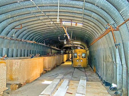
Electric Mules and Ore Cars in storage in the Snow Tunnel
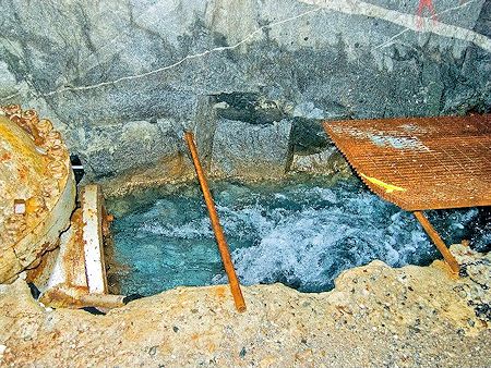
Deep in the Mine is Morgan Creek
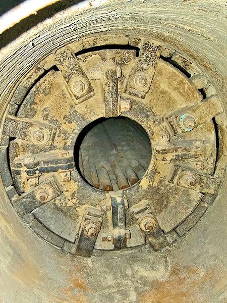
Looking inside the Ore Crusher
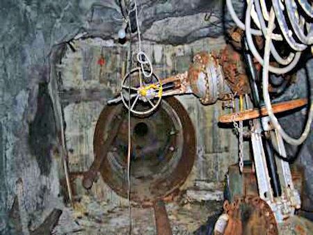
Picture of the 'Plug' 1/4 mile into the mountain
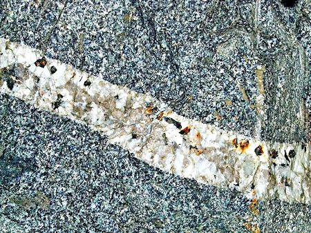
Large Quartz Vein in the mine. Check out the size of the Quartz Rocks!
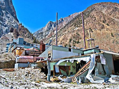
With the record snowfall in 2010 an Avalanche damaged some buildings
Pine Creek Mine - Union Carbide Movie
Other Tungsten Mines Near The Pine Creek Mill
The Gable Lakes Mine aka Lakeview Tungsten Mine included surface and underground openings comprised of a 15 foot deep shaft and an open cut 20 feet long, 12 feet wide and 8 feet deep on the outcrop, and a 20 foot adit, 100 feet below the outcrop. Total production was less than 100 tons of ore which was packed out on mules.
The Gable Lakes Trailhead is the trail to the left of the Pine Creek Trailhead. The trail is tough and in avalanche country. Very few visit here. The lakes are pretty but fishless. The mining done here was mostly manual labor. Nearby wooden Tram Towers with ore buckets served the Tungstar Mine on Mt. Tom, delivering the ore to the "Mine in the Sky" mill below.
Pictures (on Flickr taken in 2007 by Matt High} of remains of Tungstar Mine Mill on Gable Creek at junction with Pine Creek. These "ruins" are historic relics of the old mill from the Tungstar Mine, also known as the Shirley Temple mine. It was owned by some Hollywood folks such as Shirley Temple and I think Randolph Scott. It was a tungsten mine owned by stars, thus the name tung-star. You can get the details in the book Mine In The Sky by Joe Kurtak, which is mainly about the big girl up the hill, the Pine Creek Mine; which is the United States largest tungsten producer, 90 years and still going. The little tailings piles from the Tungstar were never revegetated and appear to have a high sulfur content. This information was posted in 2007. The Pine Creek Mine has since closed.
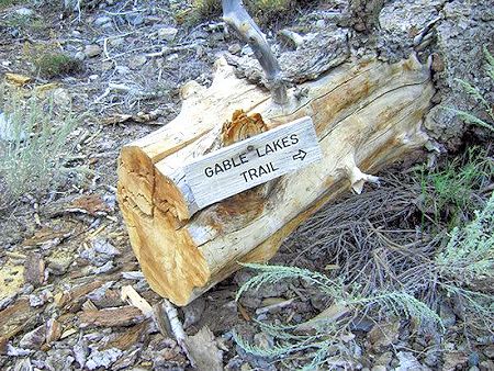
Gable Lakes Trailhead
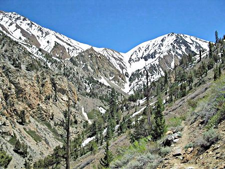
Trail to the Gable Mines & Lakes
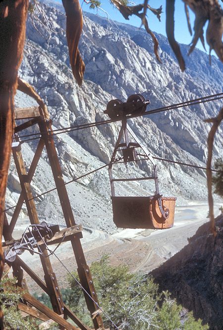
Tungstar Mine Tram - 1977
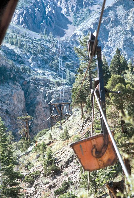
Tungstar Mine Tram - 1977
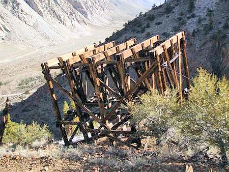
Tungstar Mine Tram Tower next to trail - 2009
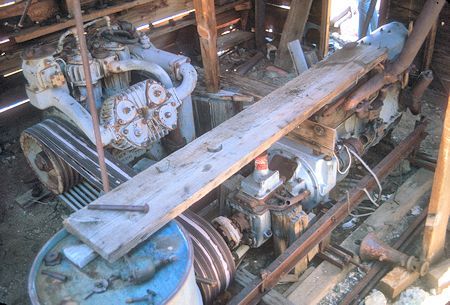
Compressor at Gable Lakes Mine - 1977
See also this 1977 Gable Lakes Trip Report
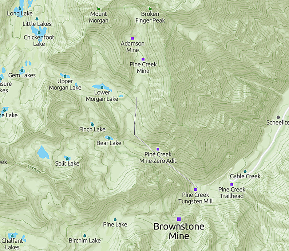
Pine Creek Mine area map
The Brownstone Mine is located off the main Pine Creek Trail on a feeder trail on your left. The claims were located in 1942 and mining first occurred 1946-1947. A tramway was built to deliver the ore to a mill at road level. Mining resumed 1952-1953 with ore processed at the Pine Creek Mine Mill on the other side of Pine Creek.
In 1955 the road, which now serves as a trail, was built to bring the equipment out once the mine was closed. Prior to that miners rode horses up to work each day and then let them loose and walked down. At some point, Union Carbide became the owner and at one time proposed tunneling under Pine Creek from the Pine Creek Mine Mill site to the Brownstone Mine but I don't believe that actually happened.
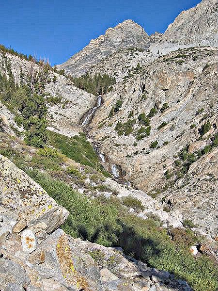
Pine Creek next to trail
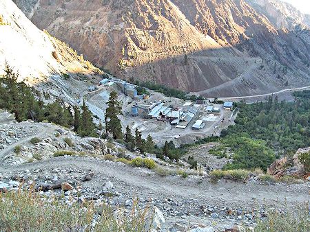
Looking back at the Pine Creek Mill
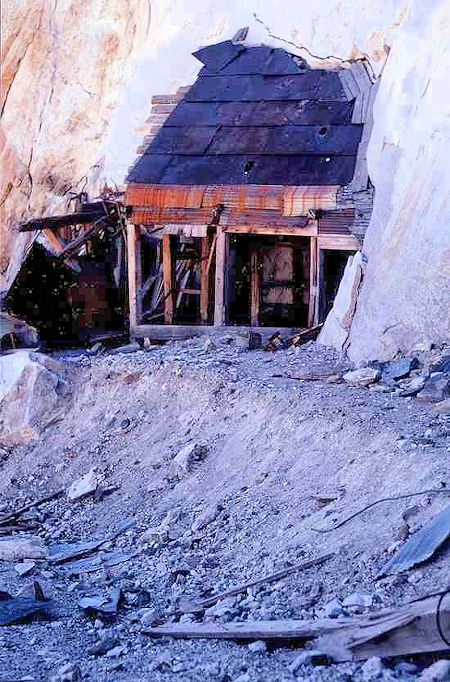
Brownstone Mine Entrance - 1972
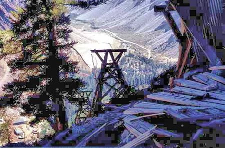
Looking out from Brownstone Mine past Tram Towers - 1972
The Tungstar and Hanging Valley Mines are located near Lower Horton Lakes and near the top of Mt. Tom.
There are many mines in this area but all fed into the "Pine Creek Tungsten Mill". Like most mines in the 20's and 30's, packers would haul out the ore using mules. It was too steep to transfer the ore down the north side of Mt. Tom, so they had to go south by Horton Lakes, where they transferred the ore to trucks. In the late 30's, they built a wooden tram system with ore buckets so they could deliver the ore down the steep slopes directly to the mill. As part of the tramway construction they also built their own mill.
To get to the Tungstar and Hanging Valley Mines, best to hike it from the south side of Mt. Tom at the Horton Lakes Trailhead. To get there, take Hwy 168 out of Bishop to Buttermilk Rd. Take Buttermilk west for 6 miles to the Lake Horton turnoff. For 2 wheel drive cars, this is far as you’re going. For 4-wheel high clearance vehicles, the trailhead is another mile. It's about 4 miles on the miners' road to the Lower Horton Lakes and the first mining buildings.
The route to these mines is also the climbing route to Mt. Tom. This 1968 trip describes an Explorer Post climb of Mt. Tom from Horton Lakes. This 2013 trip report with excellent pictures describes the route from Horton Lakes. This 2012 trip report also has information and pictures.
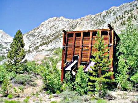
Ore Bin: Packers delivered the oar by mule and fill these bins up. Trucks would pick-up the ore and deliver it to the mill as needed
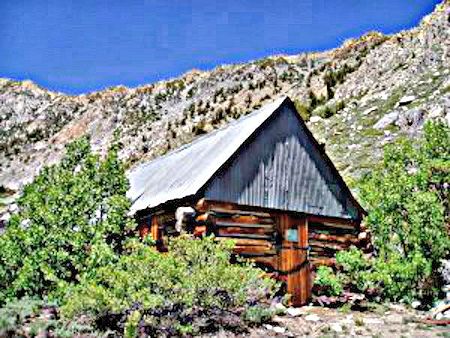
Miner Cabin #1
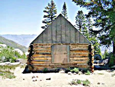
Miner Cabin #2 - Both cabins were in good shape
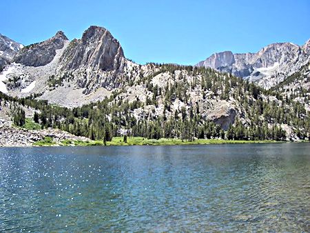
Lower Horton Lake - Brookies in this lake.
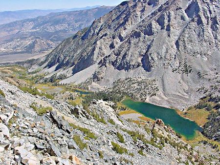
Climbing up 1,000 feet to the other Hanging Valley mines on Mt. Tom - a lot of scree on the trail.
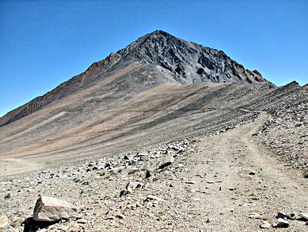
Near the summit of Mt. Tom and the trail is an old miner's road.
The road was for the ore trucks to haul the ore to the ore bins at the trams. This was a large mining operation and the company had the most up to date equipment. They hauled the trucks up the Horton Lake route using the Caterpillar Dozers. When they closed the Hanging Valley Mines for good, they made a temporary road down to the mill site. The temporary road was so steep you could only go down it, not up.
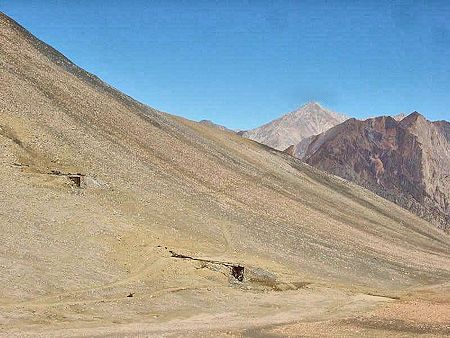
First sight of the Upper Hanging Valley Mines
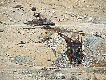
Closer look at Upper Hanging Valley Mines
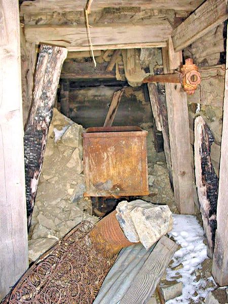
Mine Shaft
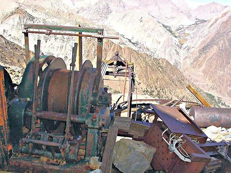
Winch Cable - This controlled the tension on the cable for the oar buckets
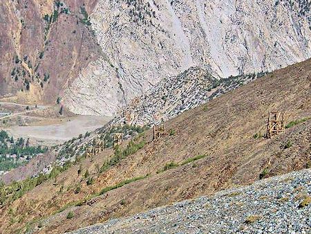
Tram Towers - To deliver the ore to the mill
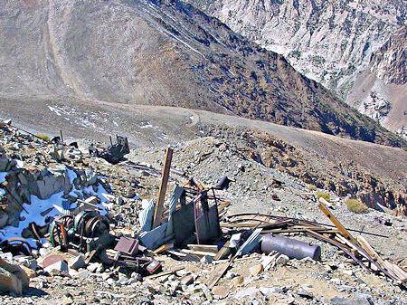
Tungstar Mine Site - The mining road ends here as this is where they put in the Wooden Tram Towers to deliver the ore to the mill below.
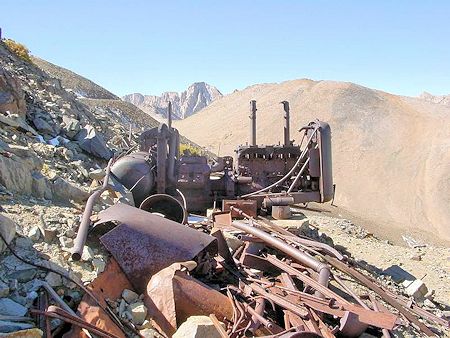
Diesel Engines
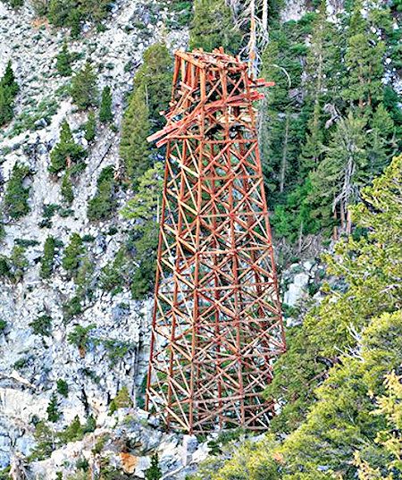
Tram tower - as high as 80 feet or more
The Adamson Mine
See this 1977 Trip page for pictures and this 1966-67 New Year's winter trip via the Union Carbide Mine road.
This is the final piece of this Pine Creek Tungsten Mine story and will focus on the mining on Mt. Morgan/Wheeler Ridge area. This is where over 90% or more of the mining was done. Mining started in 1918 and manual labor and mules carried the ore to the mill. They built a rough trail down to the mill so the packers could deliver the ore on mules. This was a tough job as this was a year around job. Some of the miners worked on the highest mine, The Adamson Mine, at 13,000 feet elevation in winter!
To get to the mines, the miners took "The Gray Bus" through Rock Creek over Morgan Pass to Wheeler Ridge. The bus ride was not for the weak of mind, as this was an E-ticket ride. Many men did not last the week and quit. Lot of good stories on this subject in the book, "The Mine in the Sky".
Things slowly improved. In the late 30's, early 40's they built a wooden tram system from the mines to the mill, so mules were no longer needed. They also built a tram system from the Adamson Mine down to the lower mines.
Finally, they cored 2 miles through the mountain with 2 thousand feet elevation to the mines in the Wheeler Ridge area. The tram system was no longer needed. The electric Mules were used until the mill closed down in the early 2000's.
There were dozens of mine shafts in this area but most are buried now and the area cleaned up. When the writer lasted hiked up this valley, you could still hear the wind whistling through some of the old mine shafts. The mine shafts that are still there are mostly blocked off solid, so not much to look at today. But if you walk up to the old jeep road to the top of Broken Finger Peak, Adamson Mine still has some mining equipment and adit to look at.
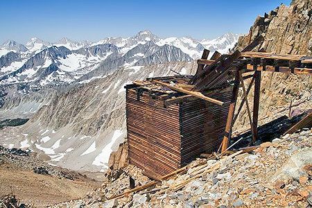
Ore Bin
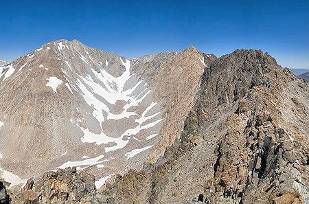
On Broken Finger Peak looking at Mt. Morgan
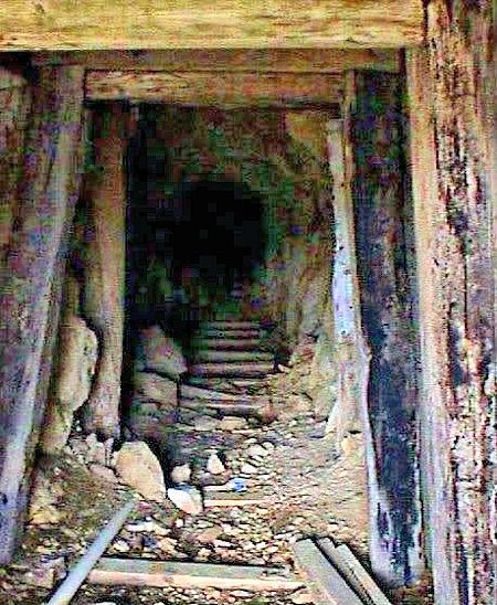
Mine Entry
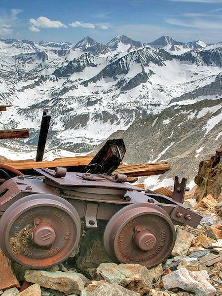
Ore Car at Adamson Mine at 13,000 – "Mine in the Sky"