On August 1-5, 1980 Jimmy White and I backpacked up Bloody Canyon (see also this 1972 trip), crossed the Kuna Crest at Helen Lake and traversed over to the Lost Lakes then to Silver Lake.
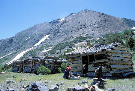
Mining cabins from the mid-1800's near Mono Pass in Yosemite National Park
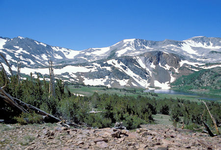
Spillway Lake on the right, Kuna Crest on the skyline. Our route was across the saddle in the low point on the ridge. Helen Lake is below the saddle
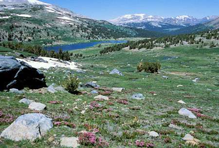
View northwest past Spillway Lake down the Dana Fork drainage in Yosemite National Park. The green meadow in the far trees is Dana Meadows, just inside the Park at Tioga Pass
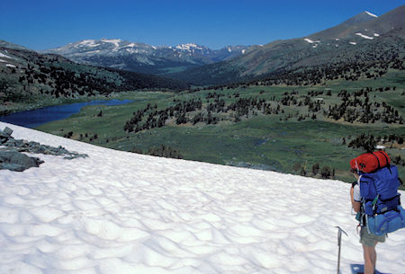
Jimmy White admiring the view over Spillway Lake as we start up the snow field below Helen Lake toward the Kuna Crest
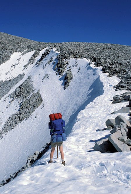
Jimmy White on the Kuna Crest. Nearby we found an easy way off the Crest
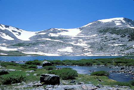
Our route beyond Helen Lake will take us up the snow field to the low spot on the Kuna Crest
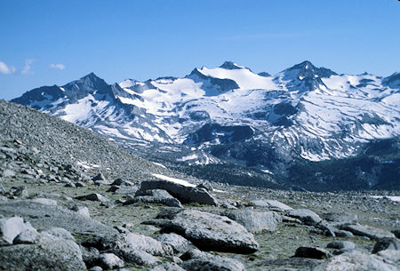
View southwest from the Kuna Crest of Mt. Lyell and its large glacier in the center, Mt. Maclure on the right. The pointed peak on the left may be Electra Peak. In the foreground is the head of the Lyell Canyon near Donohue Pass

From the Kuna Crest a vast area unfolds in front of you. Kuna Peak with it's nearby pointed sentry is on the far left. Just to the right behind the Koip Crest Blacktop Peak pokes its top up. The high point to the right is part of the Koip Crest. Our route to the Lost Lakes is through the pass at the low point. Donohue Peak is the rounded peak second to the right of the pass. Donohue Pass on the John Muir/Pacific Crest Trail is to the right and then Mt. Lyell and its large glacier fill the skyline. Mt. Maclure is next. This panorama was stitched together from nine pictures. August 2, 1980
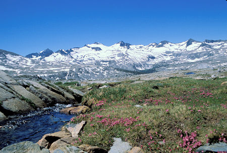
Kuna Creek with Mt. Lyell and Mt. Maclure on the skyline
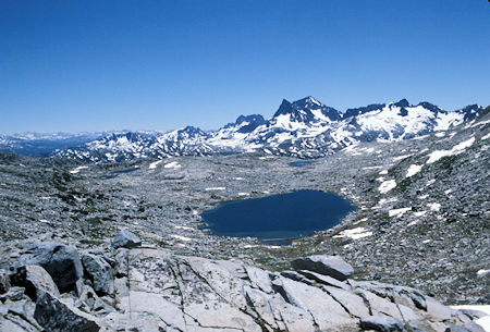
From the pass we look down on the Lost Lakes with Banner Peak (the pointy one) and Mt. Ritter (the highest one) in the background. Futher to the right is Mt. Davis
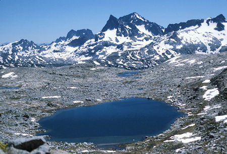
Banner Peak (pointed on the left) and Mt. Ritter (just to the right and behind) are a fine backdrop for the Lost Lakes
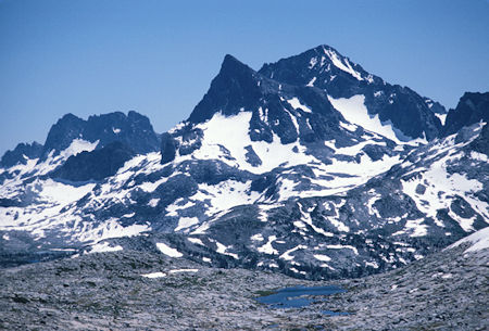
Telephoto lens brings Banner Peak (pointed on the left) and Mt. Ritter (on the right behind) into closer view from the Lost Lakes area
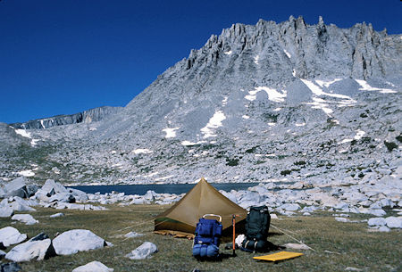
The ragged Koip Crest with our pass on the left as seen from our campsite below the highest Lost Lake
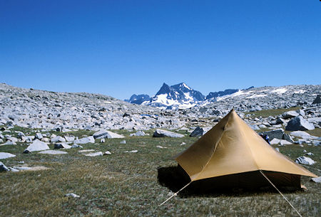
The ever present Banner Peak and Mt. Ritter from our Lost Lake campsite
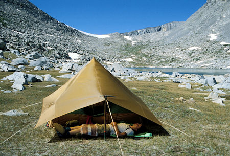
Jimmy White takes a nap on the veranda of our tent. Our pass and upper Lost Lake in the background
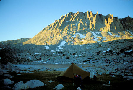
Evening light over our camp at upper Lost Lake
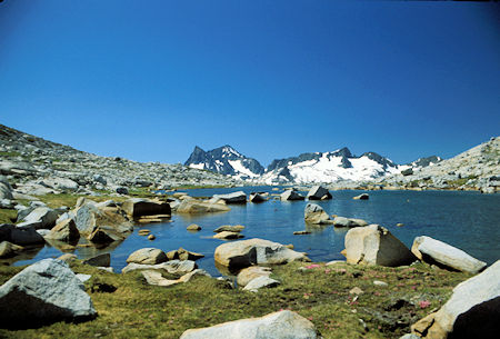
Banner Peak and Mt. Ritter on the left, Mt. Davis on the right from one of the Lost Lakes as we started downstream
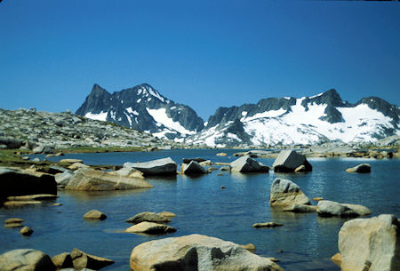
Banner Peak and Mt. Ritter on the left, Mt. Davis on the right from one of the Lost Lakes as we started downstream
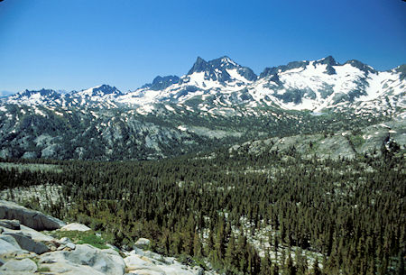
From the edge of the Lost Lake plateau the terrain drops down to forested slopes that lead to Waugh Lake on Rush Creek
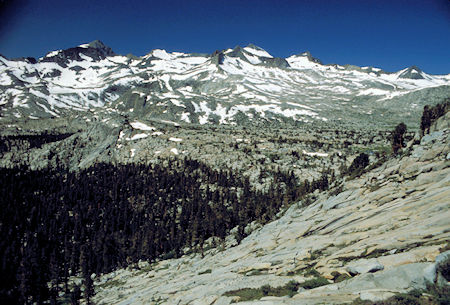
From the edge of the Lost Lake plateau, looking southwest over the terrain that one would cross contouring over to the John Muir/Pacific Crest trail. The high peak on the left is Rogers Peak and Mt. Lyell is the high peak just to the right of center. Donohue Pass is near the right edge of the picture
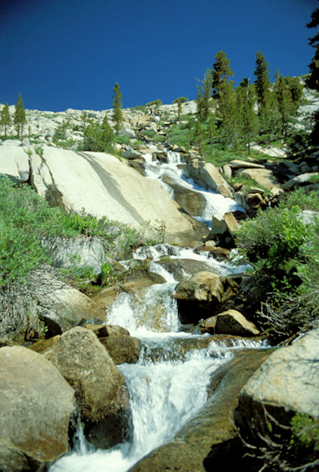
The creek below the Lost Lakes plateau cascades musically down the rocks
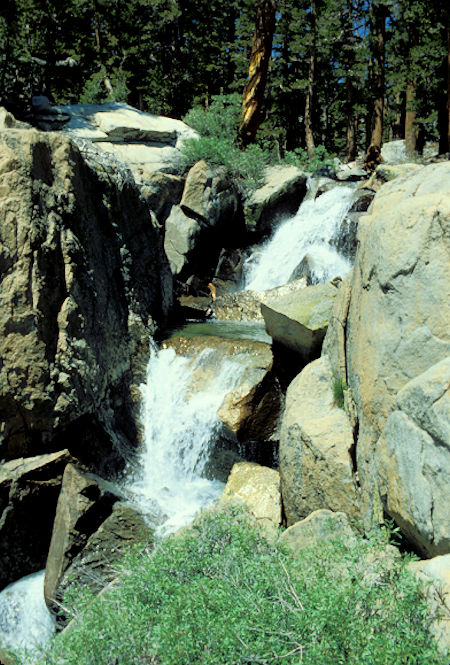
The creek below the Lost Lakes plateau cascades musically down the rocks through a pleasant forest
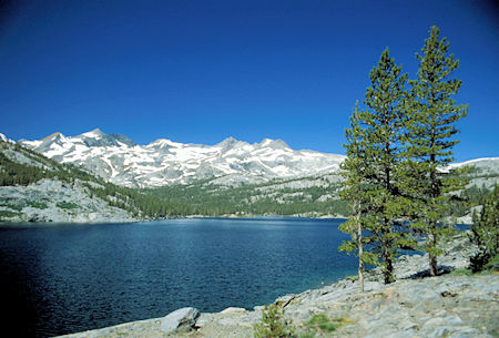
Waugh Lake
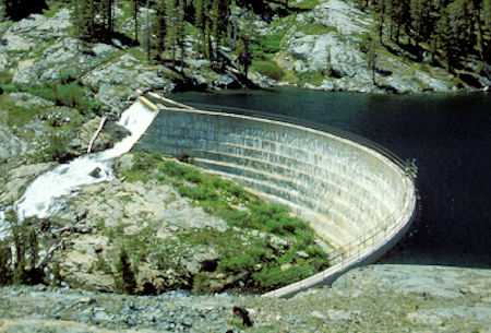
Waugh Lake Dam